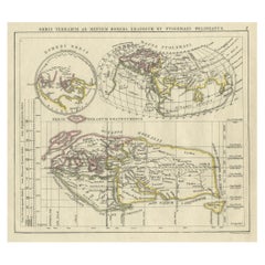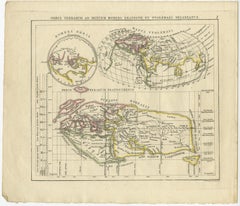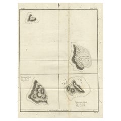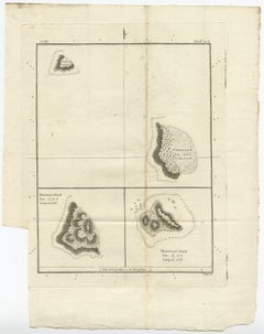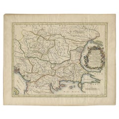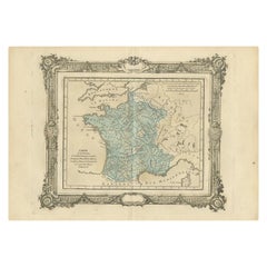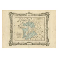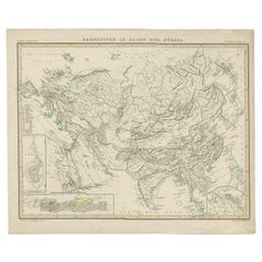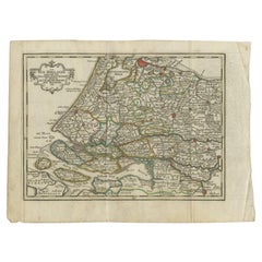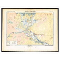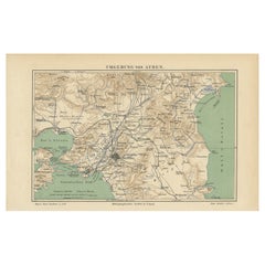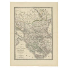
Antique 1842 Map of Turkey and Greece by Pierre M. Lapie, 68x50.5 cm
By Pierre M. Lapie
Located in Langweer, NL
Depending on the individual map, presentation, and context, a rare or antique map can be modern, traditional, abstract, figurative, serious or whimsical.
Category
19th Century French Rare Antique Maps
Materials
Paper