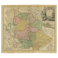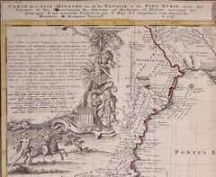
Hand-Colored 18th Century Homann Map of the Black Sea, Turkey and Asia Minor
$875
H 20 in W 23.63 in D 0.07 in
Hand-Colored 18th Century Homann Map of the Black Sea, Turkey and Asia Minor
By Johann Baptist Homann
Located in Alamo, CA
An attractive original early 18th century hand-colored map of the Black Sea and Turkey entitled "Carte de L'Asie Minevre ou de la Natolie et du Pont Evxin Tiree des Voyages et des Ob...
Category
Early 18th Century German Antique Johann Baptist Homann
Materials
Paper