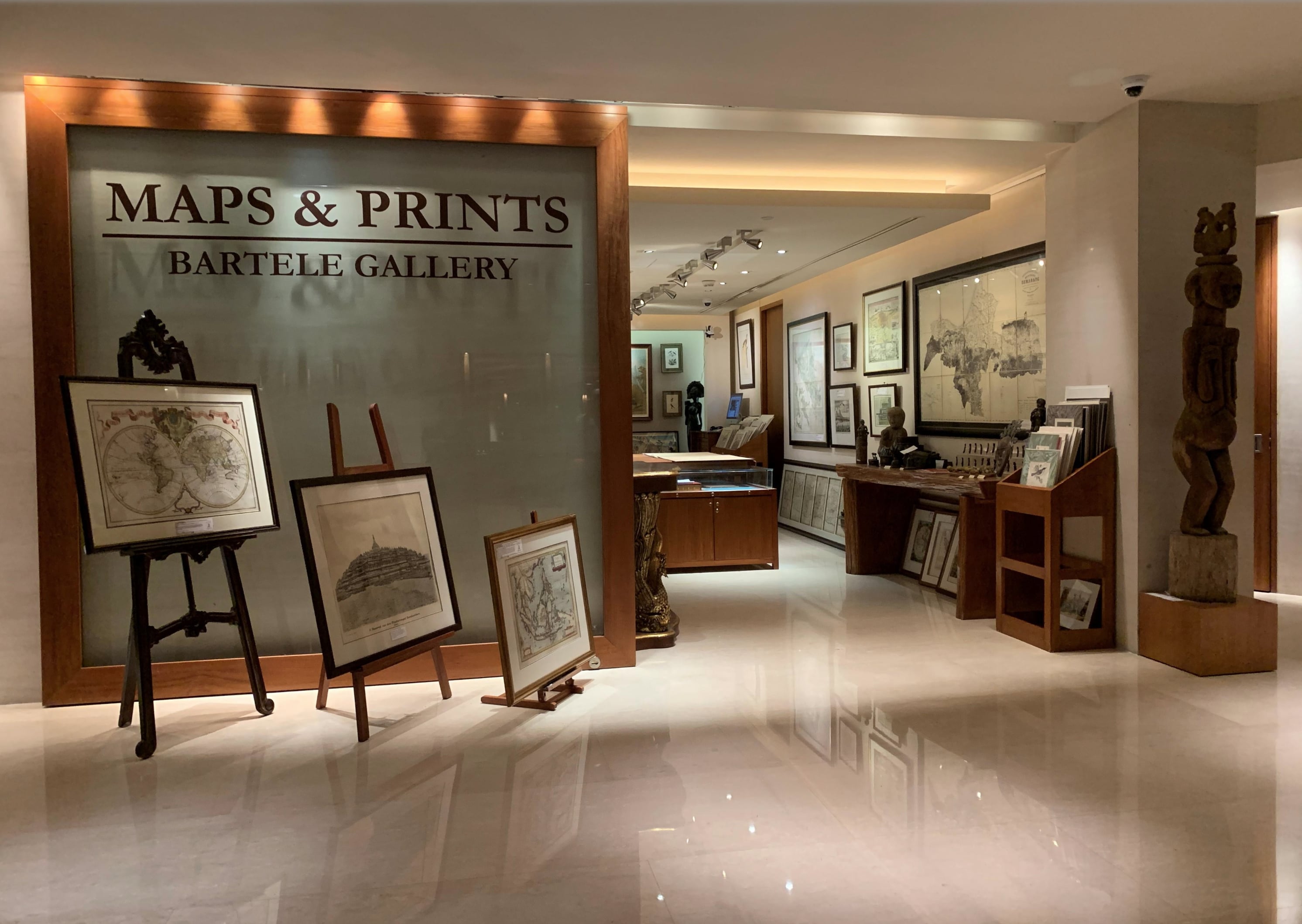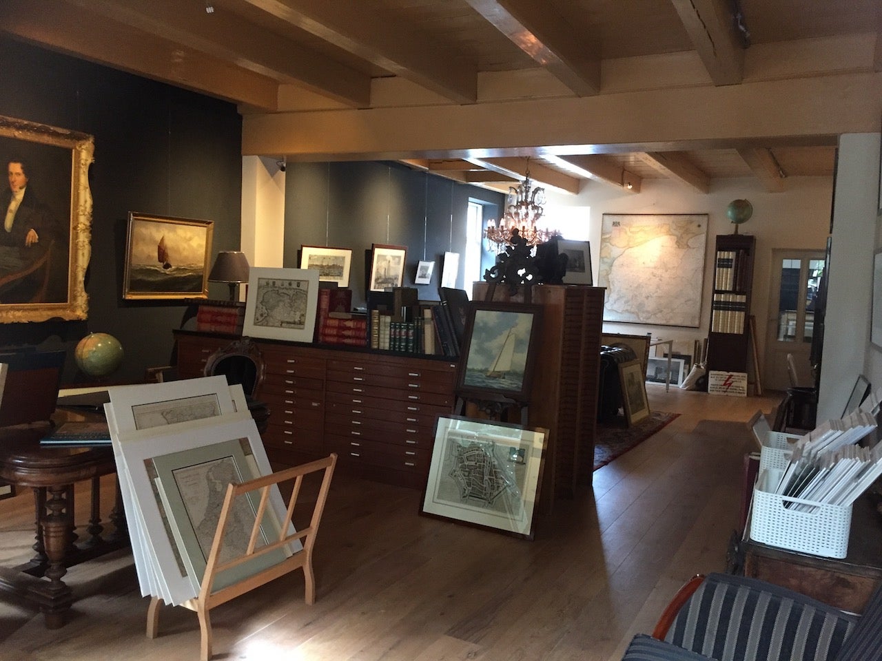
About Bartele Gallery
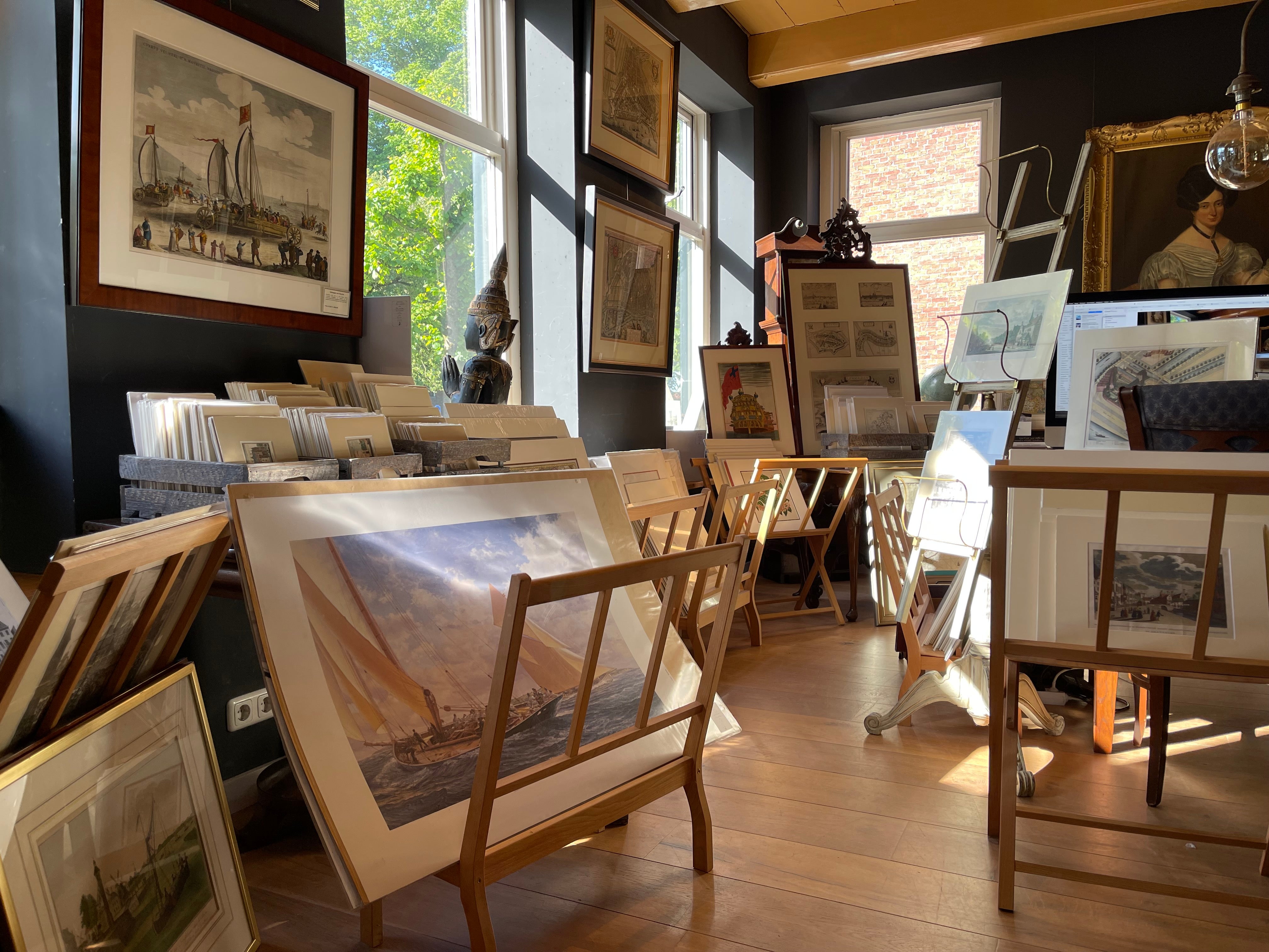
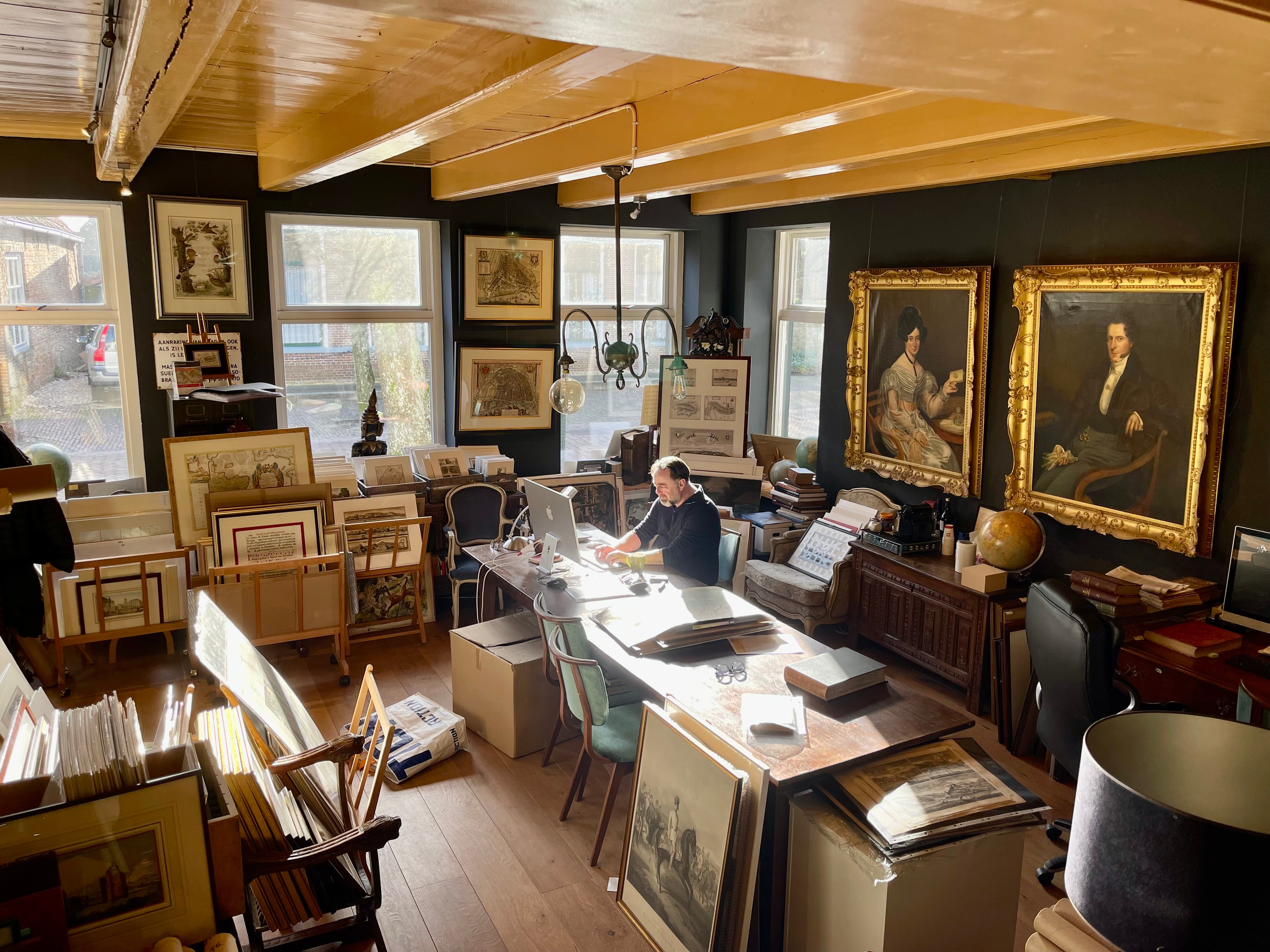
Bartele Gallery offers a wide range of antique maps, prints and rare books. Our extensive collection of antique maps covers every part of the world. Whilst cartography holds a special place in our collection, we also offer thousands of antique prints covering fields of interest as diverse as architecture, natural history, religion, ethnology and many more. Bartele Gallery is managed by Bartele Santema, in 2009 he founded the first gallery in Indonesia. This gallery is located in the Kempinski Hotel Jakarta and supported by curator Dr. David Parry, who wrote 'The Cartogra...Read More
Established in 20091stDibs seller since 2017
Featured Pieces
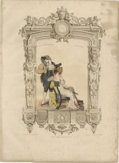
French Directoire Costume Lithograph – Under the Directory 1797 – Published 1847
Located in Langweer, NL
Title: French Directoire Costume Lithograph – Under the Directory, 1797 – Published 1847
Description: A beautifully hand-colored French lithograph depicting an elegantly dressed gen...
Category
Antique Mid-19th Century French Prints
Materials
Paper
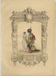
French First Empire Court Costume Lithograph, 1807 – Published 1847
Located in Langweer, NL
Title: French First Empire Court Costume Lithograph, 1807 – Published 1847
Description: A beautifully hand-colored French lithograph depicting an elegantly dressed gentleman and lad...
Category
Antique Mid-19th Century French Prints
Materials
Paper
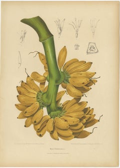
Antique Banana Botanical Chromolithograph by Hoola van Nooten, c. 1880
Located in Langweer, NL
Title: Antique Banana Botanical Chromolithograph by Hoola van Nooten, c. 1880
Description:
A magnificent original antique botanical chromolithograph depicting Musa paradisiaca L., ...
Category
Antique Late 19th Century Belgian Prints
Materials
Paper
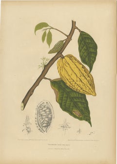
Antique White Cacao Botanical Chromolithograph by Hoola van Nooten, c. 1880
Located in Langweer, NL
Antique White Cacao Botanical Chromolithograph by Hoola van Nooten, c. 1880
Description:
A magnificent original antique botanical chromolithograph depicting Theobroma cacao var. alb...
Category
Antique Late 19th Century Belgian Prints
Materials
Paper
Antique Star Fruit Botanical Chromolithograph by Hoola van Nooten, c. 1880
Located in Langweer, NL
Title
Antique Star Fruit Botanical Chromolithograph by Hoola van Nooten, c. 1880
Description
A magnificent original antique botanical chromolithograph depicting Averrhoa bilimbi L...
Category
Antique Late 19th Century Belgian Prints
Materials
Paper

Antique Royal Poinciana Botanical Chromolithograph by Hoola van Nooten, c. 1880
Located in Langweer, NL
Title: Antique Royal Poinciana Botanical Chromolithograph by Hoola van Nooten, c. 1880
Description: A magnificent original antique botanical chromolithograph depicting Poinciana reg...
Category
Antique Late 19th Century Belgian Prints
Materials
Paper

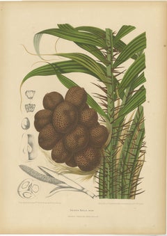
Antique Salak Palm Botanical Chromolithograph by Hoola van Nooten, c. 1880
Located in Langweer, NL
Antique Salak Palm Botanical Chromolithograph by Hoola van Nooten, c. 1880
A magnificent original antique botanical chromolithograph depicting Zalacca edulis Reinw., now generally a...
Category
Antique Late 19th Century Belgian Prints
Materials
Paper
Antique Soursop Botanical Chromolithograph by Hoola van Nooten, c. 1880
Located in Langweer, NL
Title: Antique Soursop Botanical Chromolithograph by Hoola van Nooten, c. 1880
Description: A magnificent original antique botanical chromolithograph depicting Annona muricata L., c...
Category
Antique Late 19th Century Belgian Prints
Materials
Paper

Antique Papaya Botanical Chromolithograph by Hoola van Nooten, c. 1880
Located in Langweer, NL
Title: Antique Papaya Botanical Chromolithograph by Hoola van Nooten, c. 1880
Description:
A magnificent original antique botanical chromolithograph depicting Carica papaya L., comm...
Category
Antique Late 19th Century Belgian Prints
Materials
Paper

Antique Red Heliconia Botanical Chromolithograph by Hoola van Nooten, c. 1880
Located in Langweer, NL
Title: Antique Red Heliconia Botanical Chromolithograph by Hoola van Nooten, c. 1880
Description:
A magnificent original antique botanical chromolithograph depicting Musa coccinea A...
Category
Antique Late 19th Century Belgian Prints
Materials
Paper

Antique Java Plum Botanical Chromolithograph by Hoola van Nooten, c. 1880
Located in Langweer, NL
Antique Java Plum Botanical Chromolithograph by Hoola van Nooten, c. 1880
Description:
A beautiful original antique botanical chromolithograph depicting Syzygium jambolanum Dec., n...
Category
Antique Late 19th Century Belgian Prints
Materials
Paper

Antique Mango Botanical Chromolithograph by Hoola van Nooten, c. 1880
Located in Langweer, NL
Title: Antique Mango Botanical Chromolithograph by Hoola van Nooten, c. 1880
Description: A magnificent original antique botanical chromolithograph depicting Mangifera indica L., th...
Category
Antique Late 19th Century Belgian Prints
Materials
Paper

More About Bartele Gallery