
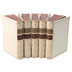
The American Coast Pilot by Edmund Blunt, 1847, Rare
View Similar Items


1 of 11
The American Coast Pilot by Edmund Blunt, 1847, Rare
About the Item
- Creator:Edmund Blunt (Author)
- Dimensions:Height: 9.45 in (24 cm)Width: 6.3 in (16 cm)Depth: 1.97 in (5 cm)
- Style:Other (Of the Period)
- Place of Origin:
- Period:
- Date of Manufacture:May 1847
- Condition:Wear consistent with age and use. Minor losses. Minor structural damages. Minor fading. Please, ask for more pictures.
- Seller Location:Unteriberg, CH
- Reference Number:Seller: 1003561stDibs: LU4518113823981
You May Also Like
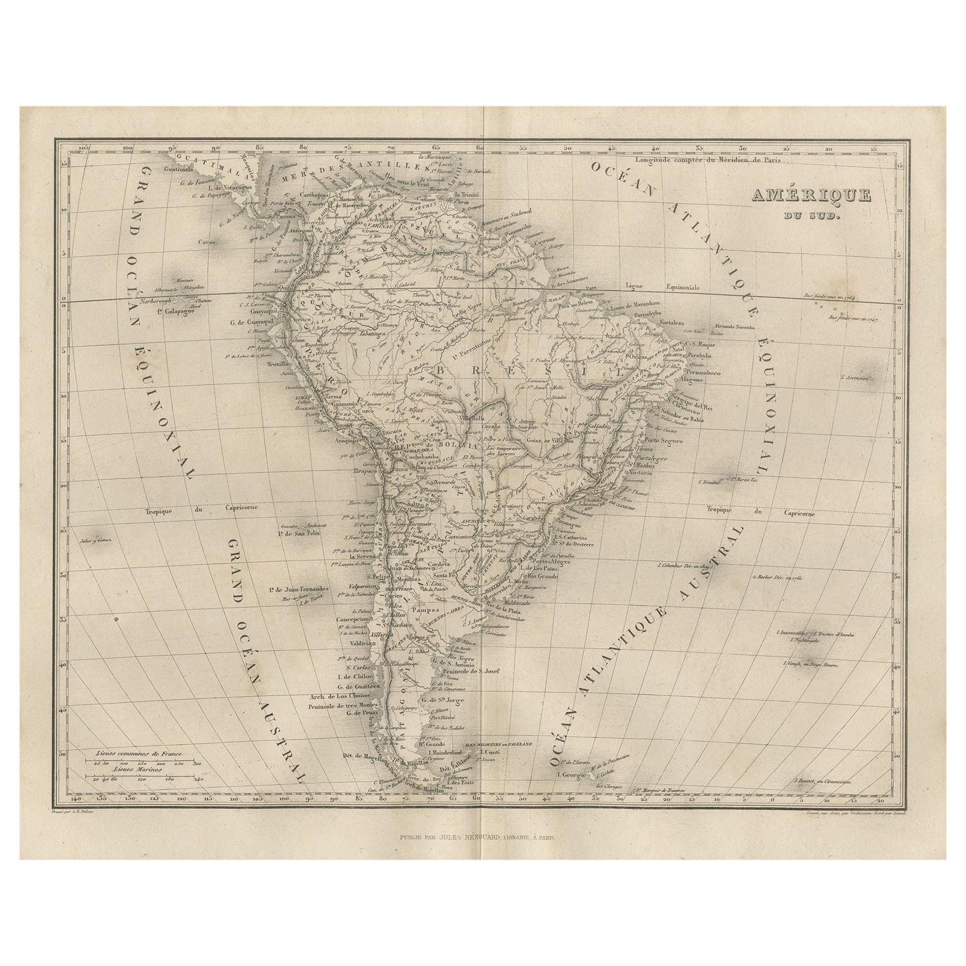
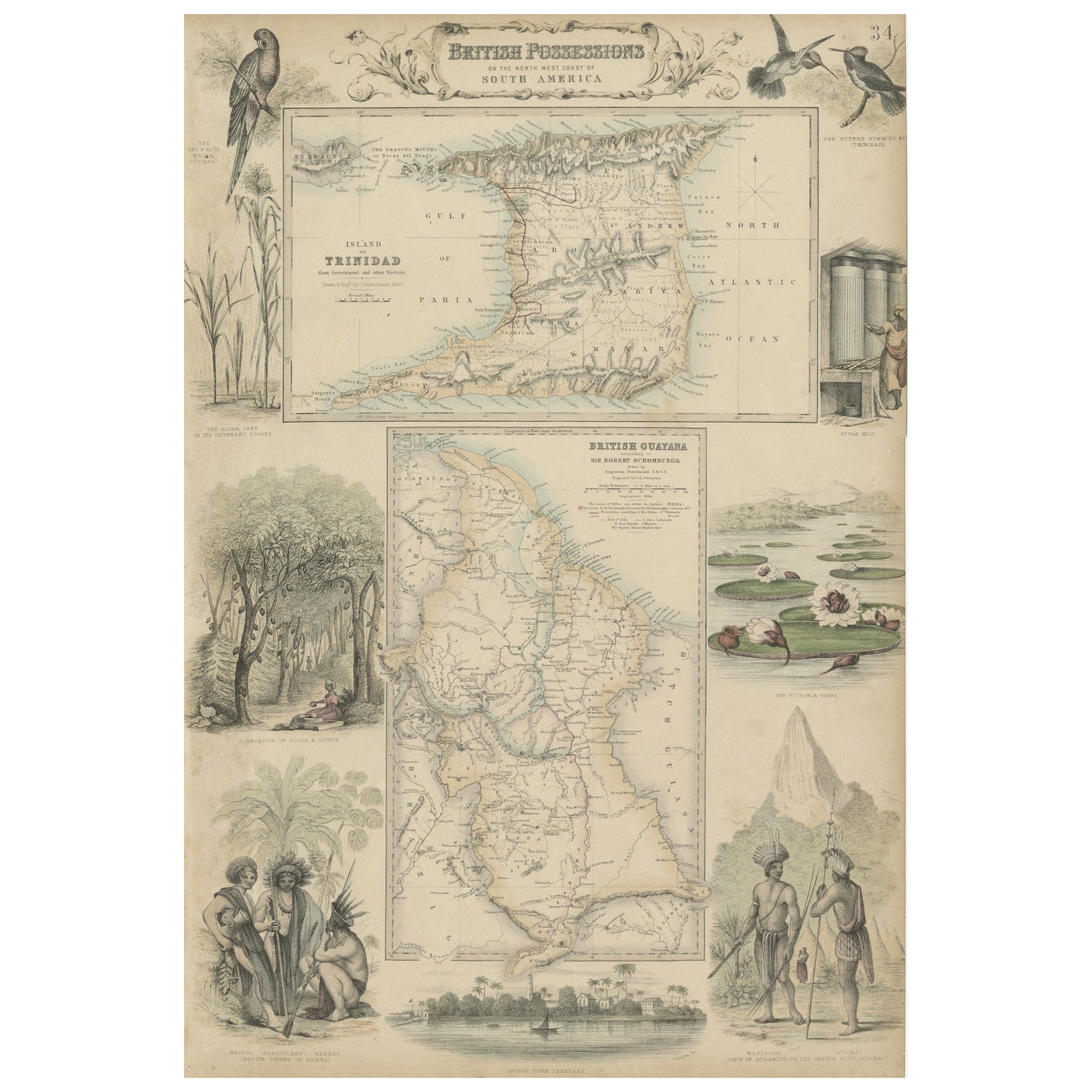
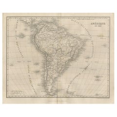
- Antique Map of South America by Balbi '1847'Located in Langweer, NLAntique map titled 'Amérique du sud'. Original antique map of South America. This map originates from 'Abrégé de Géographie (..)' by Adrie...Category
Antique Mid-19th Century Maps
MaterialsPaper
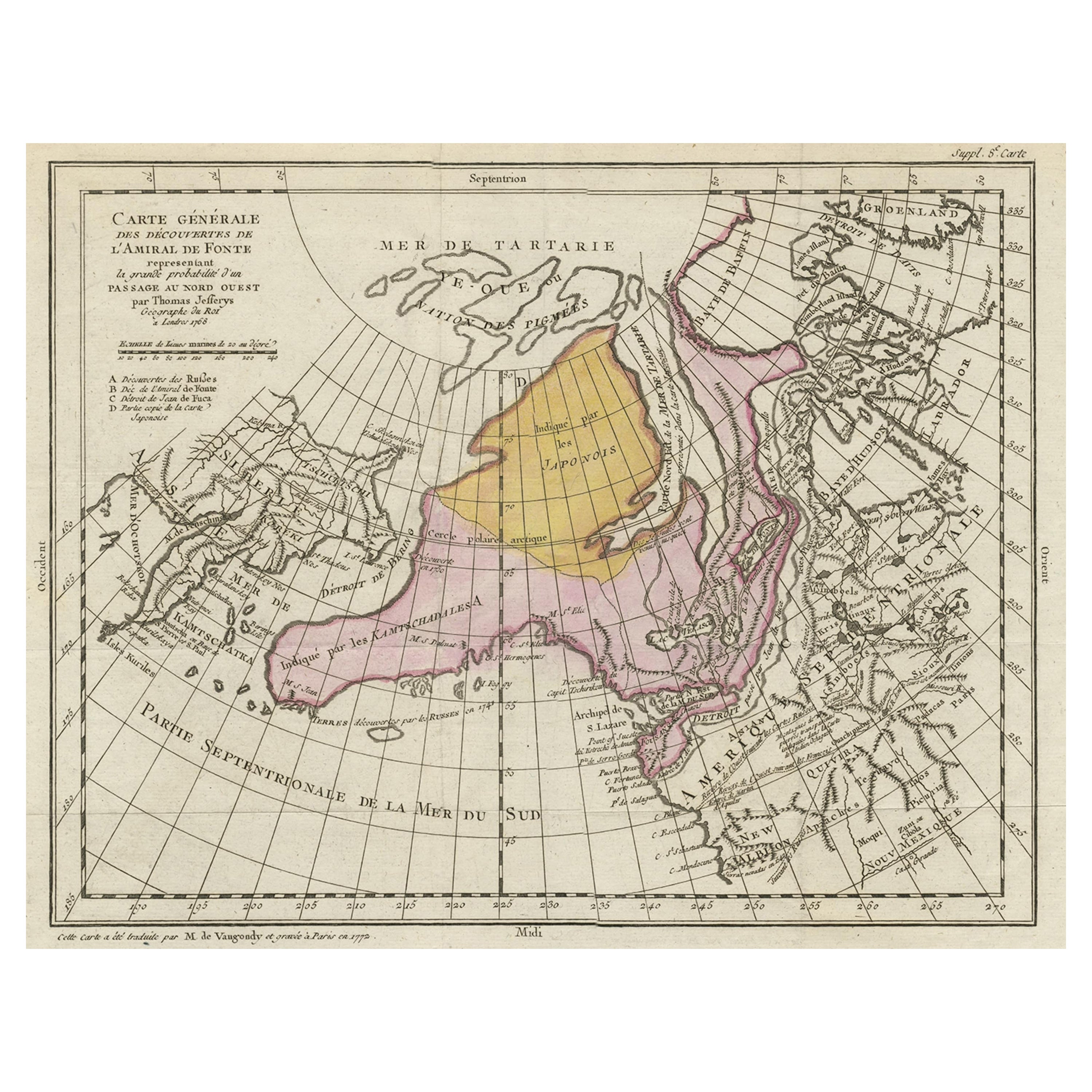
- Interesting Old Map of the Nw Coast of America and the Ne Coast of Asia, ca.1772Located in Langweer, NLAntique map titled 'Carte Generale des Decouvertes de l'Amiral de Fonte (..)'. Original antique map of the discoveries of Admiral de Fonte, showing the possibility of a north-west passage. Interesting map of the NW Coast...Category
Antique 1770s Maps
MaterialsPaper
 $641 Sale Price20% Off
 - 5 Volumes. Edmund Spenser, The Works.Located in New York, NY5 Volumes. Edmund Spenser, The Works. Edited by J. Payne Collier. Bound in full vellum, marbled endpapers, red edges, and gilt spines. Published: London: Bickers & Son, 1873.Category
Antique Late 19th Century English Books
MaterialsLeather
 $1,500 / set
 - Antique Map of the West Coast of North America & North East Coast of Asia '1772'Located in Langweer, NLAntique map titled 'Carte des nouvelles decouvertes/ Extrait d'une Carte Japonoise de l'Universe'. Map of the West Coast of North America and North-East Coast of Asia, based upon Buache's report of the various Russian Discoveries between 1731 and 1742 including the various explorers routes and notes. The lower map is based upon a Japanese map...Category
Antique Late 18th Century Maps
MaterialsPaper
 $571 Sale Price20% Off
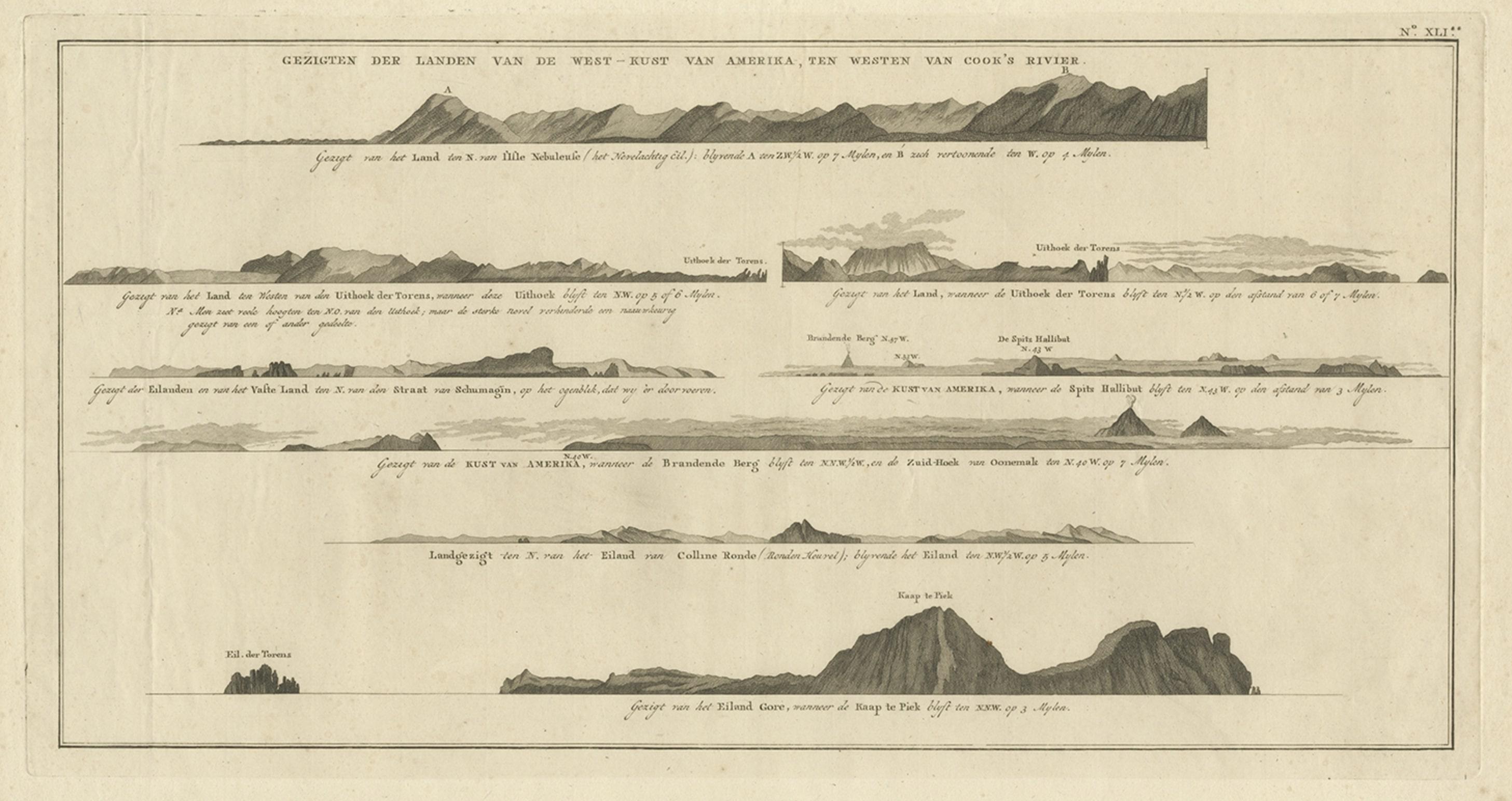
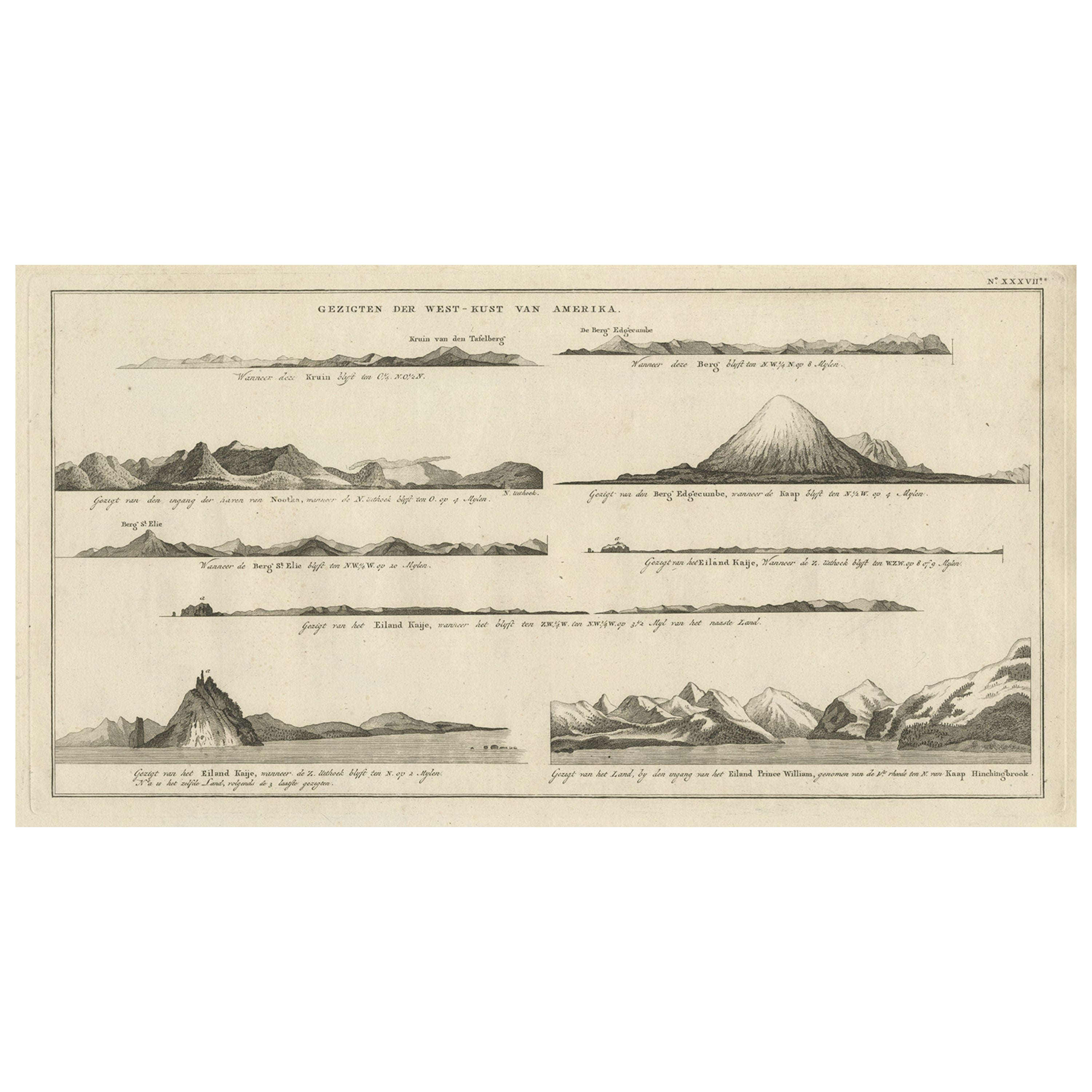
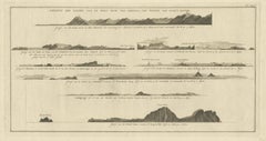
 - Antique Print with Coastal Views of Islands Near The American Coast by CookLocated in Langweer, NLAntique print America titled 'Gezigten der Landen van de West-Kust van Amerika, ten westen van Cook's Voyage'. Coastal views of various islands of the American coast, near Cook's riv...Category
Antique 19th Century Prints
MaterialsPaper
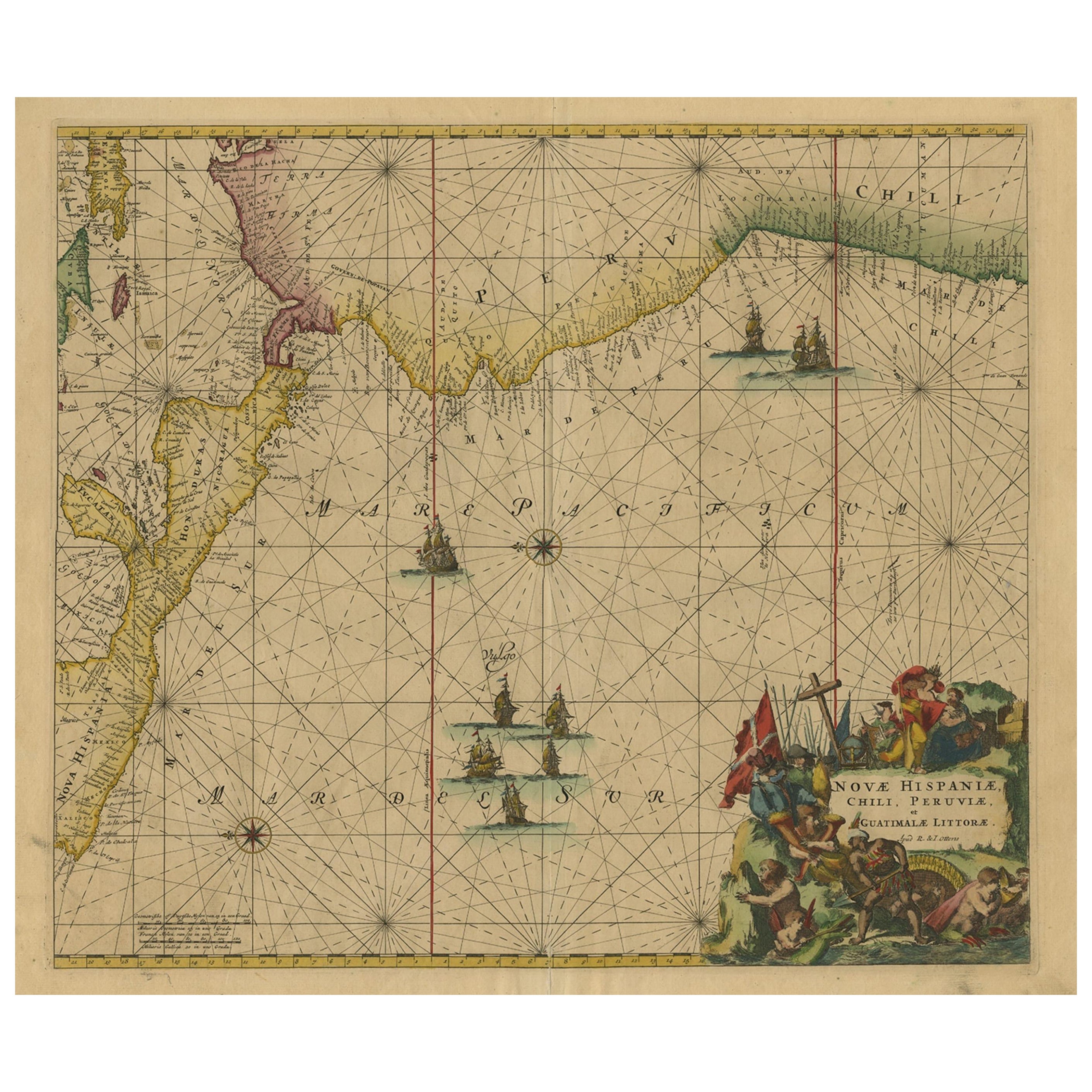
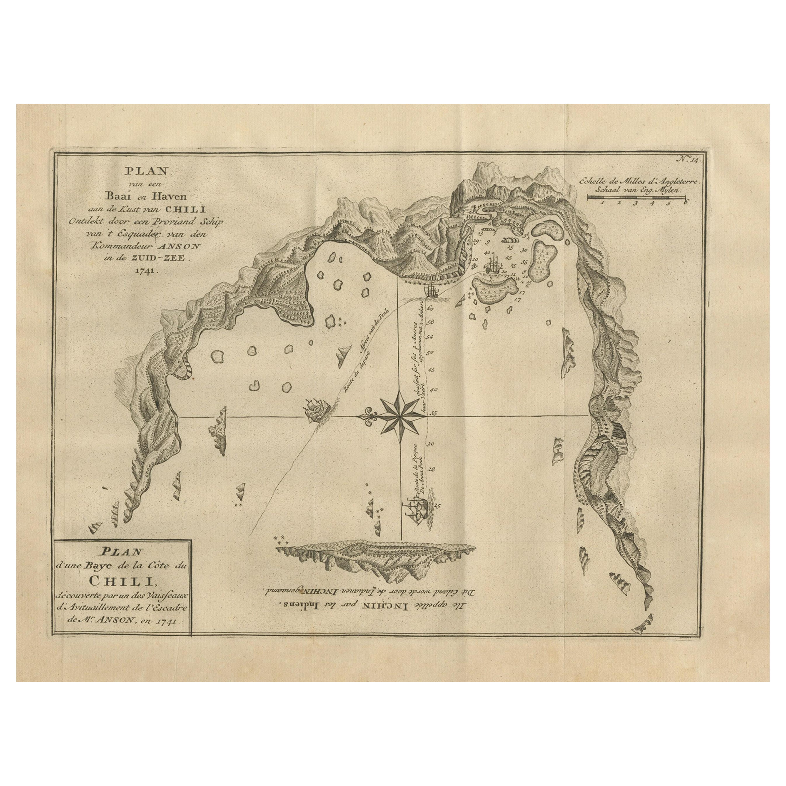
- Sea Chart of Central America and the Northwest Coast of South America, ca.1745Located in Langweer, NLAntique map titled 'Novae Hispaniae, Chili, Peruviae et Guatamala Littorae.' Sea chart of Central America and the northwest coast of South America, oriented to the east, by Reini...Category
Antique 1740s Maps
MaterialsPaper
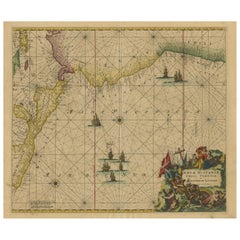 $2,152 Sale Price20% OffFree Shipping
Recently Viewed
View AllMore Ways To Browse
Books Of Jewelry
Collector Books
Story Books
Large Table Books
Book To Order
Antique English Architectural
Architectural English Antique
Used Coffee Table Books
Film Collectables
Rare Antique Books
3 Volumes
Collecting Antique Photographs
Vintage Coffee Table Books
A N A Jacket
Wooden Book
Novel Books
Vintage Collectible Lot Collectibles
Antique Novel