
Want more images or videos?
Request additional images or videos from the seller
1 of 5
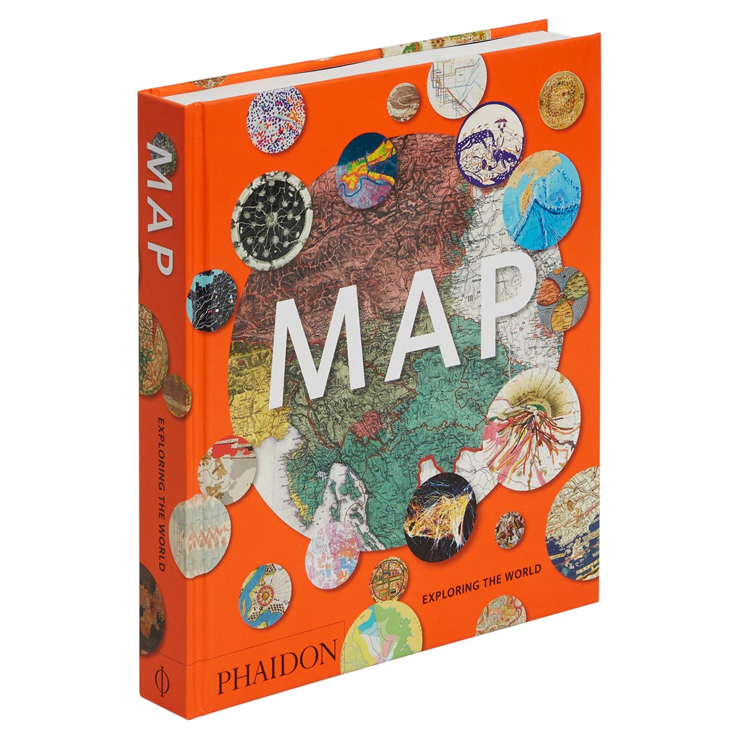
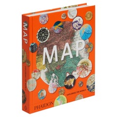
Map, Exploring The World
$60per item
£45.34per item
€52.36per item
CA$83.84per item
A$93.03per item
CHF 48.73per item
MX$1,140.78per item
NOK 619.83per item
SEK 585.10per item
DKK 390.46per item
Quantity
Shipping
Retrieving quote...The 1stDibs Promise:
Authenticity Guarantee,
Money-Back Guarantee,
24-Hour Cancellation
About the Item
300 stunning maps from all periods and from all around the world, exploring and revealing what maps tell us about history and ourselves.
Selected by an international panel of cartographers, academics, map dealers and collectors, the maps represent over 5,000 years of cartographic innovation drawing on a range of cultures and traditions.
Comprehensive in scope, this book features all types of map from navigation and surveys to astronomical maps, satellite and digital maps, as well as works of art inspired by cartography.
Unique curated sequence presents maps in thought-provoking juxtapositions for lively, stimulating reading.
Features some of the most influential mapmakers and institutions in history, including Gerardus Mercator, Abraham Ortelius, Phyllis Pearson, Heinrich Berann, Bill Rankin, Ordnance Survey and Google Earth.
Easy-to-use format, with large reproductions, authoritative texts and key caption information, it is the perfect introduction to the subject.
Also features a comprehensive illustrated timeline of the history of cartography, biographies of leading cartographers and a glossary of cartographic terms.
Selected by an international panel of cartographers, academics, map dealers and collectors, the maps represent over 5,000 years of cartographic innovation drawing on a range of cultures and traditions.
- Dimensions:Height: 11.38 in (28.91 cm)Width: 9.88 in (25.1 cm)Depth: 1.5 in (3.81 cm)
- Materials and Techniques:
- Place of Origin:
- Period:
- Date of Manufacture:2015
- Production Type:New & Custom(Current Production)
- Estimated Production Time:Available Now
- Condition:
- Seller Location:New York, NY
- Reference Number:Seller: 97807148694451stDibs: LU1878340596422
Phaidon
PHAIDON: HOME OF THE VISUAL ARTS
Phaidon Press, founded in Vienna in 1923 is the premier global publisher of the creative arts. We work with the world's most influential authors to produce innovative books on art, photography, design, architecture, fashion, food, travel, and illustrated books for children that represent the very best in design, quality, and taste. Phaidon's beautiful illustrated books are treasured worldwide for their outstanding content and award-winning production. In October 2012, Phaidon came under new ownership and its new senior management team began the task of growing the company for the long term as the world's leading publisher of books in the visual arts, food, and children's markets. Publishing successes in subsequent years expanded the growing art program to include books made in collaboration with the global superstar Rihanna, NIKE, photographer Annie Leibovitz, fashion designer Sir Paul Smith, the streetwear brand Supreme, and Cecily Brown, one of many cutting-edge artists in the company's iconic Contemporary Artists Series. More recently, Phaidon has successfully added interior design to its core publishing categories. Phaidon now operates a global sales and distribution network, selling in over 100 countries and publishing books in English, Chinese, French, Spanish, Japanese, and German, and with an increasing number of publishing partners in further languages.
About the Seller
4.3
Recognized Seller
These prestigious sellers are industry leaders and represent the highest echelon for item quality and design.
Established in 1923
1stDibs seller since 2016
1,934 sales on 1stDibs
Typical response time: 1 to 2 days
- ShippingRetrieving quote...Shipping from: New York, NY
- Return Policy
Authenticity Guarantee
In the unlikely event there’s an issue with an item’s authenticity, contact us within 1 year for a full refund. DetailsMoney-Back Guarantee
If your item is not as described, is damaged in transit, or does not arrive, contact us within 7 days for a full refund. Details24-Hour Cancellation
You have a 24-hour grace period in which to reconsider your purchase, with no questions asked.Vetted Professional Sellers
Our world-class sellers must adhere to strict standards for service and quality, maintaining the integrity of our listings.Price-Match Guarantee
If you find that a seller listed the same item for a lower price elsewhere, we’ll match it.Trusted Global Delivery
Our best-in-class carrier network provides specialized shipping options worldwide, including custom delivery.More From This Seller
View AllMap Exploring The World, Midi Format
Located in New York, NY
A compelling exploration of the ways that humans have mapped the world throughout history - now in a compact new edition
Map: Exploring the World brings together more than 250...
Category
21st Century and Contemporary Books
Materials
Paper
$40 / item
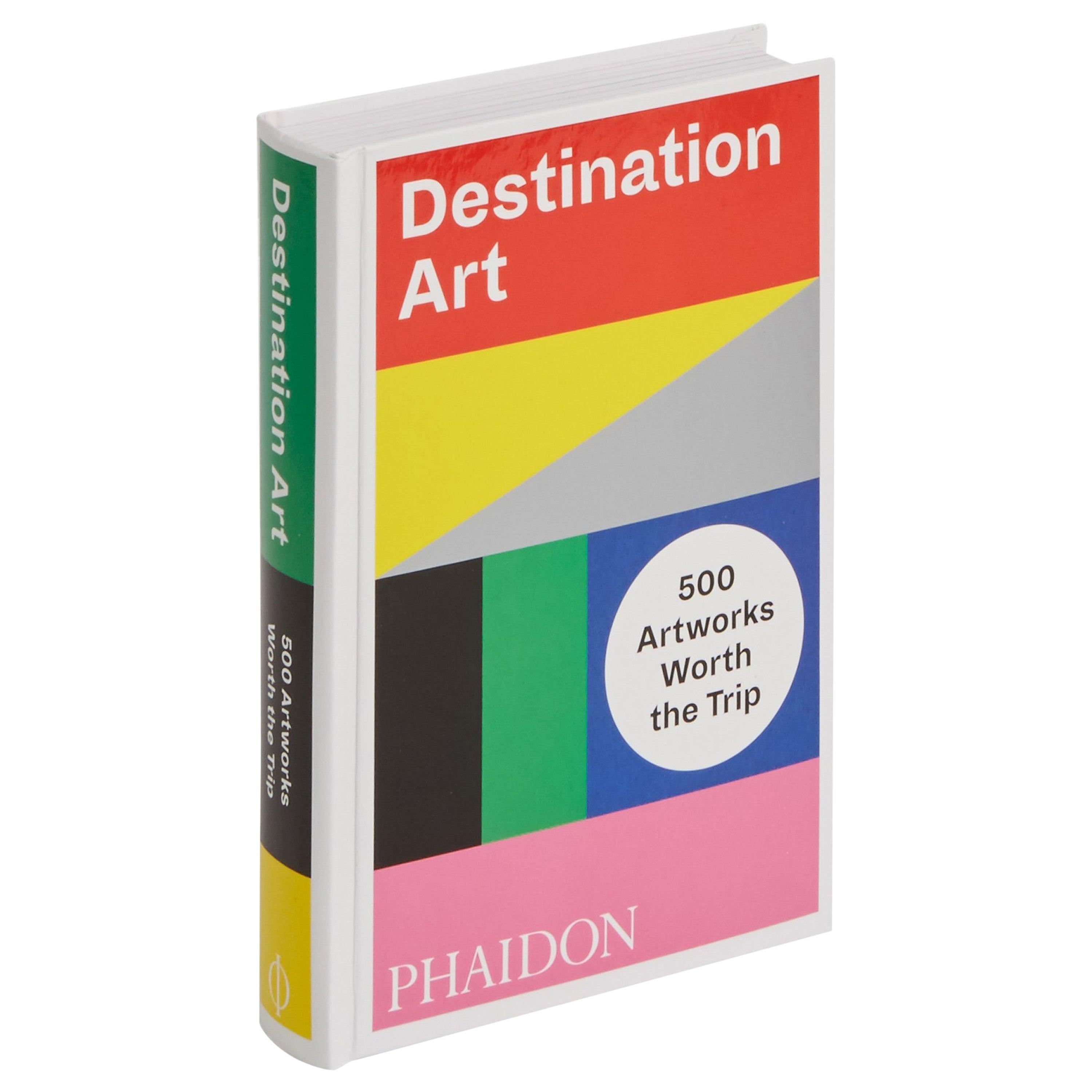
Destination Art, 500 Artworks Worth the Trip
Located in New York, NY
A global guide to the 500 works of permanently installed modern and contemporary art worth traveling to experience
Enjoy a world tour from the comfort of your reading chair or plan a detailed and engaging art itinerary for your next trip with Destination Art...
Category
21st Century and Contemporary Books
Materials
Paper

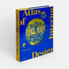
Atlas of Interior Design Dominic Bradbury
Located in New York, NY
“Flipping through a few pages will transport you . . . Armchair travelers rejoice.” – AD PRO
Explore interior-design masterpieces around the globe from the 1940s to today with this unique geographically arranged survey – discover iconic rooms in 9 continental regions in this ground-breaking survey spanning more than 50 countries
This unparalleled global survey features more than 400 of the most inspirational residential rooms from the past eight decades. With the work of icons of interior design past and present, such as Kelly Behun, Stéphane Boudin, Jacques Grange, Peter Marino, Brigette Romanek...
Category
21st Century and Contemporary Books
Materials
Paper
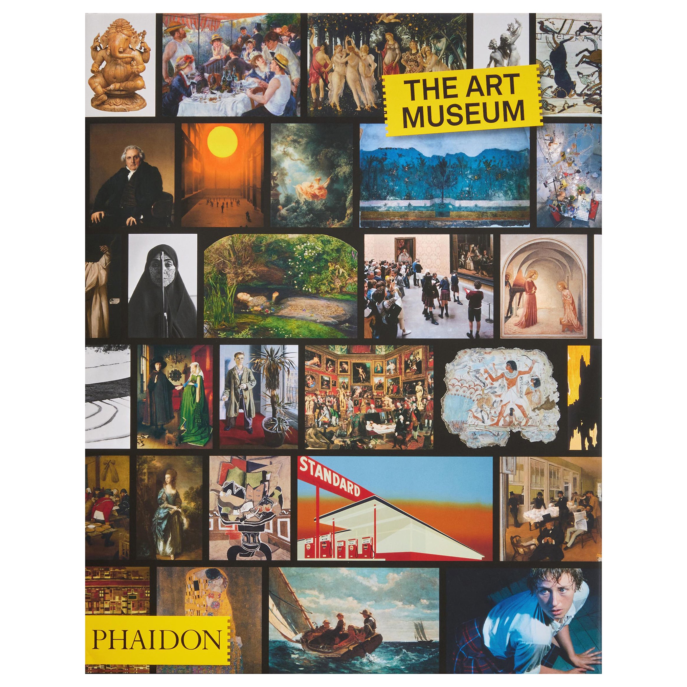
Art Museum
Located in New York, NY
Visit the world’s most comprehensive and compelling museum in a single book – the ultimate gallery in your own home
Housing the finest art collection ever assembled, this classic ...
Category
21st Century and Contemporary Chinese Books
Materials
Paper
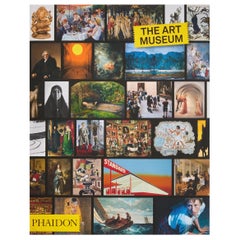
$60 / item
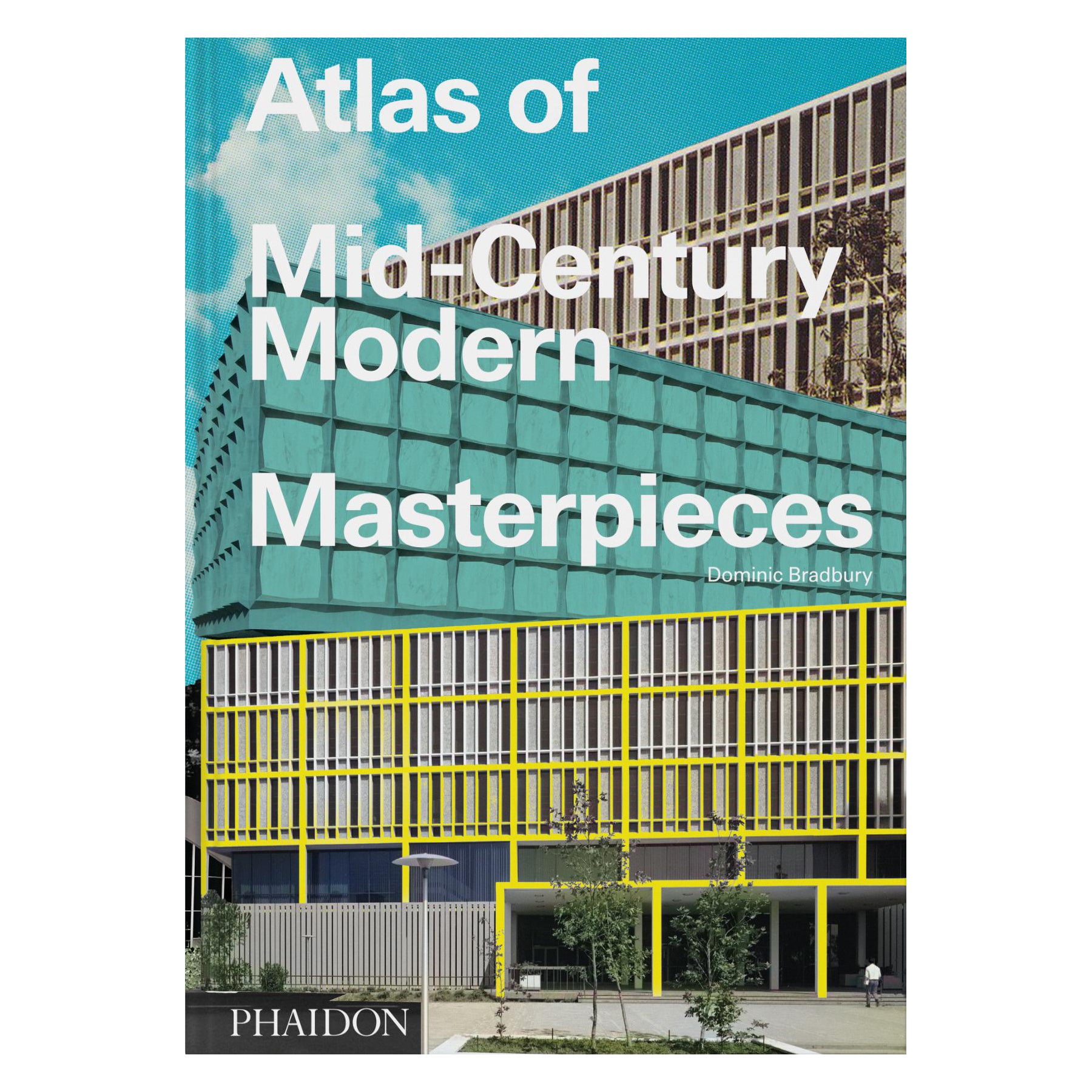
Atlas of Mid-Century Modern Masterpieces
Located in New York, NY
An innovative and original survey of the best Mid-Century Modern architecture from around the world
Featuring 450 of the very best works of Mid-Century Modern architecture from eve...
Category
2010s Chinese Books
Materials
Paper
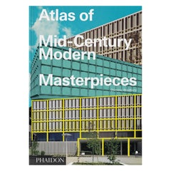
$150 / item
Graphic Classics
Located in New York, NY
Discover 500 of the world’s greatest graphic designs in one big, bold, and brilliant volume
This deep dive into graphic design history presents the work of more than 400 designers across 33 countries and 5 continents, with work dating back to the 14th century.
Reimagined from the Phaidon best-seller Graphic: 500 Designs that Matter, the book’s dizzying array of designs range from the Gutenberg Bible to Joy Division album art, with work by both anonymous creators and industry icons such as Aleksandr Rodchenko, Paul Rand, Paula Scher, Ahn Sang-soo, and Julia Born.
The generous format and two-part design structure allows designs to be shown in detail, with large images up front and a 300+ word text for each entry in the back – making this equal parts picture and reading book. A design category key adds functionality while indicating the sheer variety of disciplines at work within one medium, from advertising and information design to posters, books, magazines, and logos.
This book is the perfect reference guide for design and art lovers, enthusiasts, and professionals at any stage of their careers, as well as all those interested in and impacted by visual communication.
Carefully revised to bring every detail up to date, organized chronologically, and with the addition of 50 new examples that highlight designers reshaping the graphic culture of today, this collection is more comprehensive, compelling – and relevant – than ever before.
Featured designers include: Reza Abedini, Otl Aicher, Herbert Bayer, Max Bill, Laurenz Brunner, A. M. Cassandre, Joseph Churchward, Alan Fletcher, Federica Fragapane, Graphic Thought Facility, Béla Horovitz, Eric Hu, Shira Inbar, Tibor Kalman, Amos Paul Kennedy, Jr., Frith Kerr and Amelia Noble, Anita Klinz, El Lissitzky, George Lois, Karel Martens, Bruno Munari, Nontsikelelo Mutiti, Hassan Rahim, Aleksandr Rodchenko, Stefan Sagmeister, Koichi Sato...
Category
2010s Chinese Books
Materials
Paper
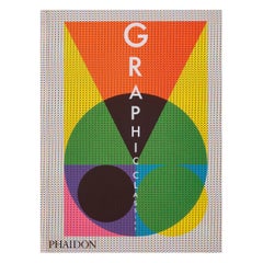
$90 / item
You May Also Like
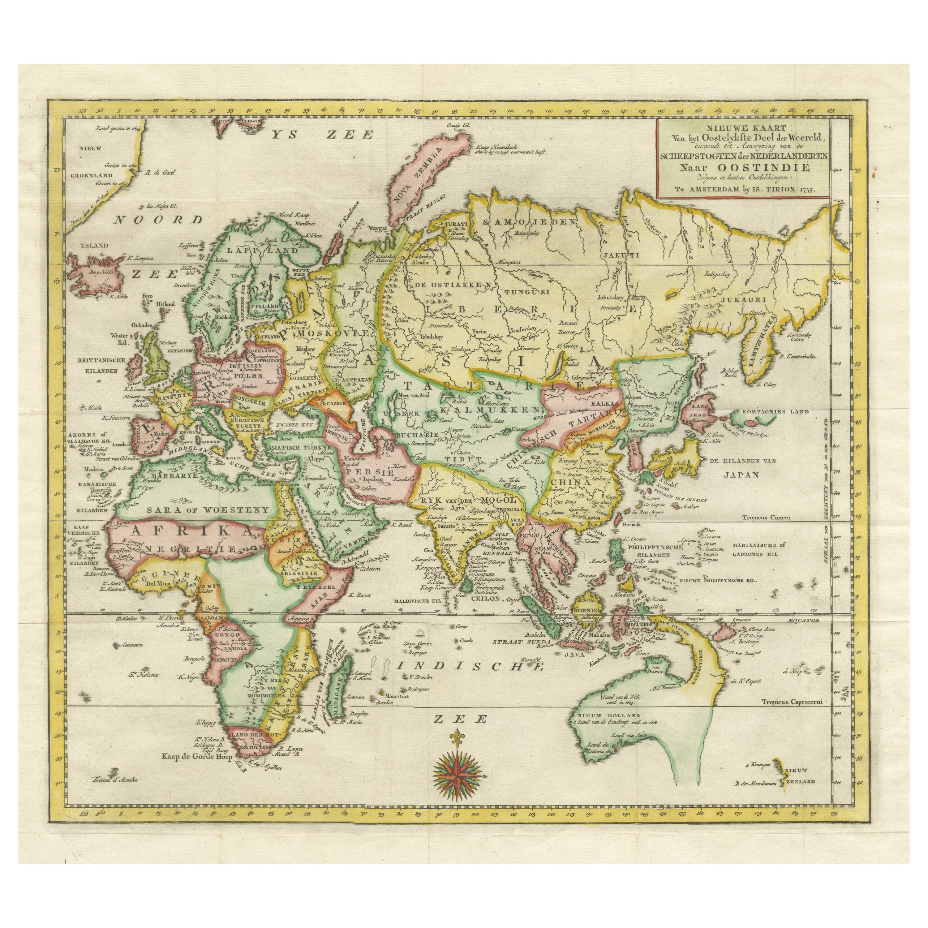
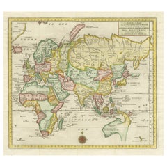
Antique Map of the Eastern Part of the World
Located in Langweer, NL
Antique map titled 'Nieuwe Kaart van het Oostelykste Deel der Weereld, diendende tot aanwyzing van de Scheepstogten der Nederlanderen Naar Oostindie'. This finely engraved map of the...
Category
Antique Mid-18th Century Maps
Materials
Paper
Interesting Original Antique Hemisphere Map Showing the Latest Discoveries
Located in Langweer, NL
Antique world map titled 'A Map of the World from the best Authorities'. Detailed map of the World, showing tracks of Captain James Cook in his 3 voyages in great detail. The map is ...
Category
Antique Late 18th Century Maps
Materials
Paper

$1,049 Sale Price
20% Off
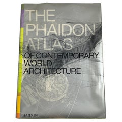
Phaidon Atlas of Contemporary Architecture, Collectible Book in Ghost Carry Case
By Phaidon
Located in Philadelphia, PA
The Phaidon Atlas of Contemporary World Architecture is a global survey of the most outstanding works of contemporary architecture from around the world. Organized geographically and...
Category
21st Century and Contemporary English International Style Books
Materials
Paper
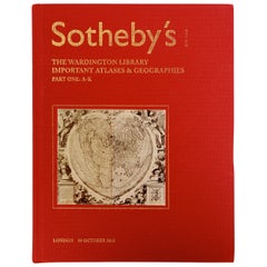
Sotheby's The Wardington Library, Important Atlases and Geographies, Part 1 A-K
Located in valatie, NY
Sotheby's: The Wardington Library, Important Atlases and Geographies. Part One: A-K., London, 18 October 2005. 1st Ed hardcover catalog with 244 lots photographed in color and fully ...
Category
Early 2000s English Books
Materials
Paper
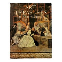
Art Treasures of the World by Paul Hamlyn
Located in Bradenton, FL
Art Treasures of the World by Paul Hamlyn. Hardcover book with dustjacket, published in 1968 by Hamlyn Publishing Group of Middlesex, United Kingdom. Pri...
Category
Vintage 1960s Italian Books
Materials
Paper
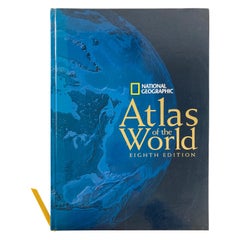
National Geographic Atlas of the World, Eighth Edition Hardcover Book
Located in North Hollywood, CA
National Geographic Atlas of the World, Eighth Edition
National Geographic
This is a beautiful large library or hardcover coffee table book.
Title: National Geographic Atlas of th...
Category
Early 2000s Maltese Mid-Century Modern Books
Materials
Paper