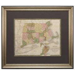
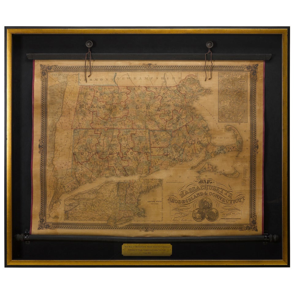
1850 Map of Massachusetts, Connecticut, and Rhode Island, Antique, Hand-Colored
View Similar Items


Want more images or videos?
Request additional images or videos from the seller
1 of 5
1850 Map of Massachusetts, Connecticut, and Rhode Island, Antique, Hand-Colored
About the Item
- Dimensions:Height: 29.75 in (75.57 cm)Width: 34 in (86.36 cm)Depth: 2.25 in (5.72 cm)
- Materials and Techniques:
- Place of Origin:
- Period:
- Date of Manufacture:1850
- Condition:Wear consistent with age and use. Overall this map is in age appropriate condition. Some discoloration and foxing is present throughout as well as some creasing. Otherwise, there are no loss and the colors are still vibrant. The map is beautifully framed to archival standards.
- Seller Location:Colorado Springs, CO
- Reference Number:Seller: M0631stDibs: LU909716917041
About the Seller
4.9
Platinum Seller
These expertly vetted sellers are 1stDibs' most experienced sellers and are rated highest by our customers.
Established in 2010
1stDibs seller since 2011
400 sales on 1stDibs
More From This SellerView All
- 1854 Map of Massachusetts, Connecticut and Rhode Island, Antique Wall MapLocated in Colorado Springs, COThis striking wall map was published in 1854 by Ensign, Bridgman & Fanning and has both full original hand-coloring and original hardware. This impression is both informative and highly decorative. The states are divided into counties, outlined in red, green, and black, and subdivided into towns. Roads, canals, and railroad lines are prominently depicted, although they are not all labeled. The mapmakers also marked lighthouses, banks, churches, and prominent buildings, with a key at right. The map is an informative and comprehensive overview of the infrastructural development of New England prior to the Civil War. Physical geographies depicted include elevation, conveyed with hachure marks, rivers and lakes. The impression features an inset map of Boston...Category
Antique 19th Century American Maps
MaterialsPaper
- 1864 Map of North America, Antique Hand-Colored Map, by Adolphe Hippolyte DufourLocated in Colorado Springs, COOffered is a map of North America entitled Amerique du Nord from 1864. This rare, separately published wall map was produced by Adolphe Hippolyte Dufour. This map includes vibrant an...Category
Antique 1860s French Maps
MaterialsPaper
- 1847 “World at One View” Antique Hand-Colored Wall Map of the WorldLocated in Colorado Springs, COThis is a highly desirable hanging wall map of the "World at One View", published in 1847 by Ensign and Thayer, New York. This pictorial map was printed as a broadside and features...Category
Antique 19th Century American Maps
MaterialsPaper
- 1907 Map of Colorado, Antique Topographical Map, by Louis NellLocated in Colorado Springs, COThis highly detailed pocket map is a topographical map of the state of Colorado by Louis Nell from 1907. The map "has been complied from all availabl...Category
Antique Early 1900s American Maps
MaterialsPaper
- 1861 Topographical Map of the District of Columbia, by Boschke, Antique MapLocated in Colorado Springs, COPresented is an original map of Albert Boschke's extremely sought-after "Topographical Map of the District of Columbia Surveyed in the Years 1856 ...Category
Antique 1860s American Historical Memorabilia
MaterialsPaper
- "Raising the Liberty Pole" Hand-Colored Antique Print, 1875Located in Colorado Springs, COThis nineteenth-century engraving shows a liberty pole being raised in a town square in 1776, while a sign bearing the face of King George III is removed in the background. The rioto...Category
Antique 1870s American Historical Memorabilia
MaterialsPaper


You May Also Like
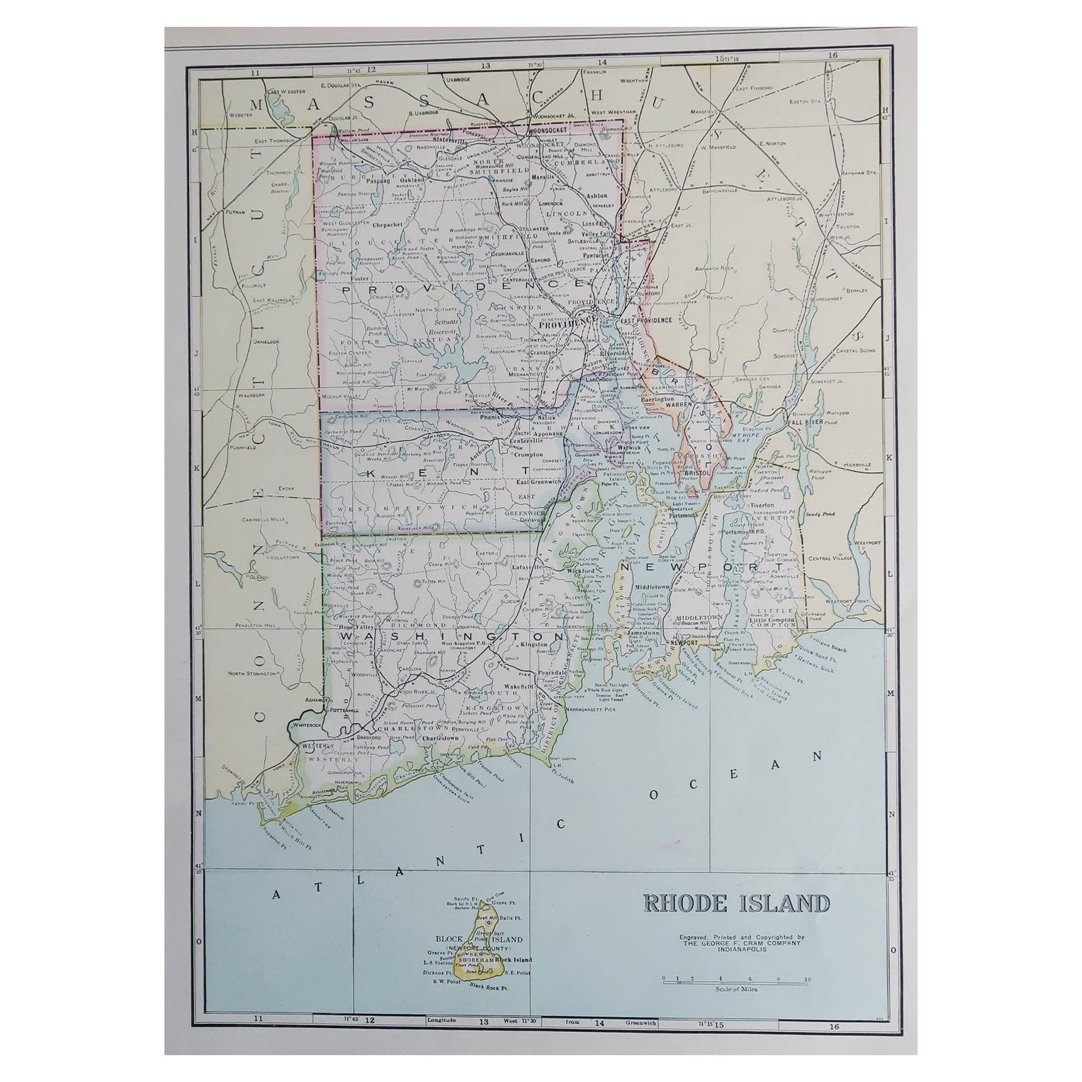
- Large Original Antique Map of Rhode Island, USA, C.1900Located in St Annes, LancashireFabulous map of Rhode Island Original color Engraved and printed by the George F. Cram Company, Indianapolis. Published, C.1900 Unframed Free ...Category
Antique 1890s American Maps
MaterialsPaper
- Antique Map of Australia and surrounding Islands by F. von Stülpnagel, 1850Located in Langweer, NLAntique map titled 'Festland von Asutralien und benachbarte Inseln'. Map showing Australia, New Zealand, Southern New-Guinea and surrounding islands. This map originates from Stieler...Category
Antique Mid-19th Century Maps
MaterialsPaper
 $168 Sale Price30% Off
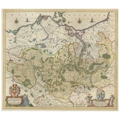
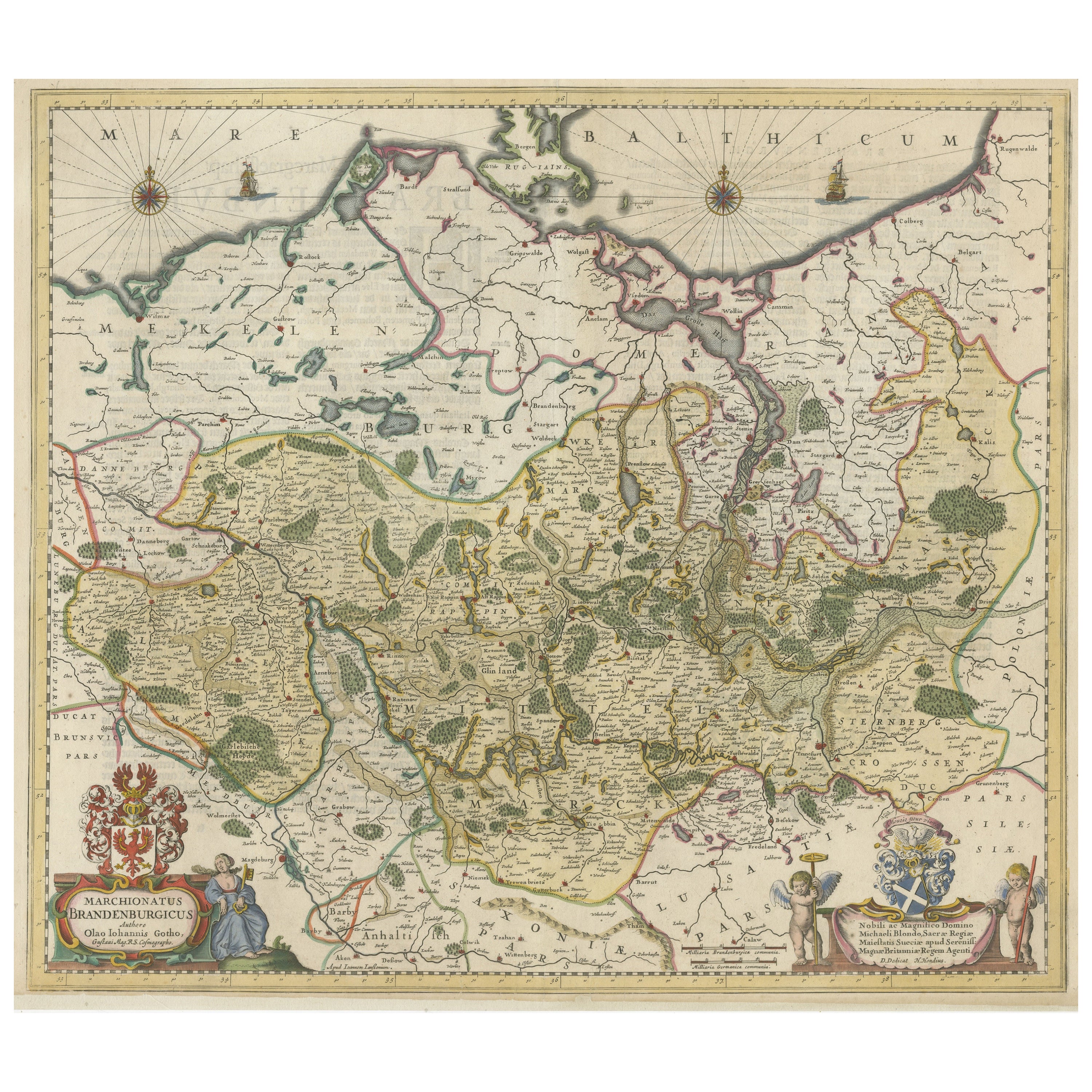
 - Antique Hand-colored Map of Brandenburg, GermanyLocated in Langweer, NLAntique map titled 'Marchionatus Brandenburgicus'. Original antique map of Brandenburg, with Königsberg and Stettin, Germany. Published by J. Janssonius, circ 1650. Jan Janssonius ...Category
Antique Mid-17th Century Maps
MaterialsPaper
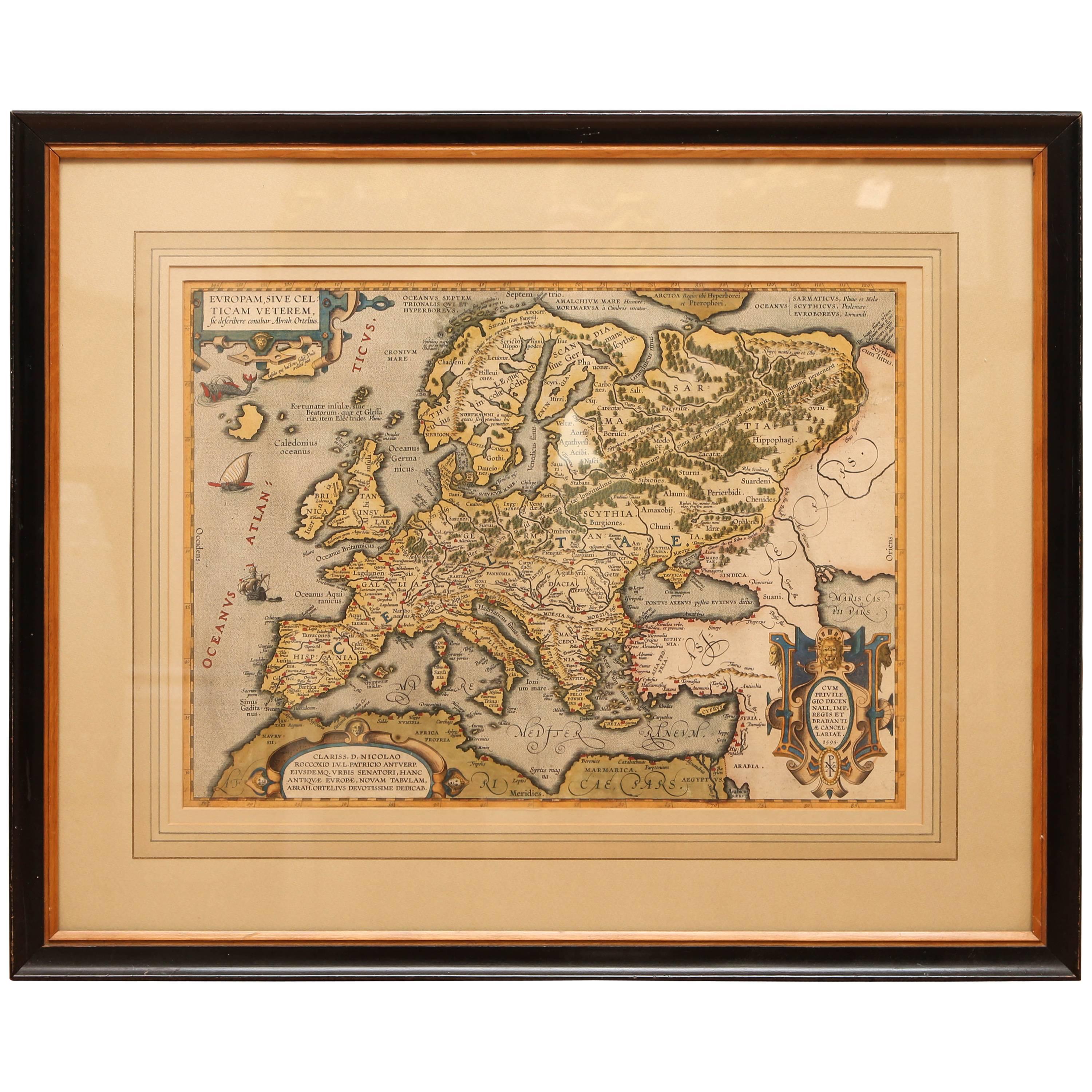
- Antique Hand Colored Framed Map of EuropeLocated in West Palm Beach, FLAntique reproduction copied from an edition dated 1595 by Ortelius.Category
Antique Late 19th Century Maps
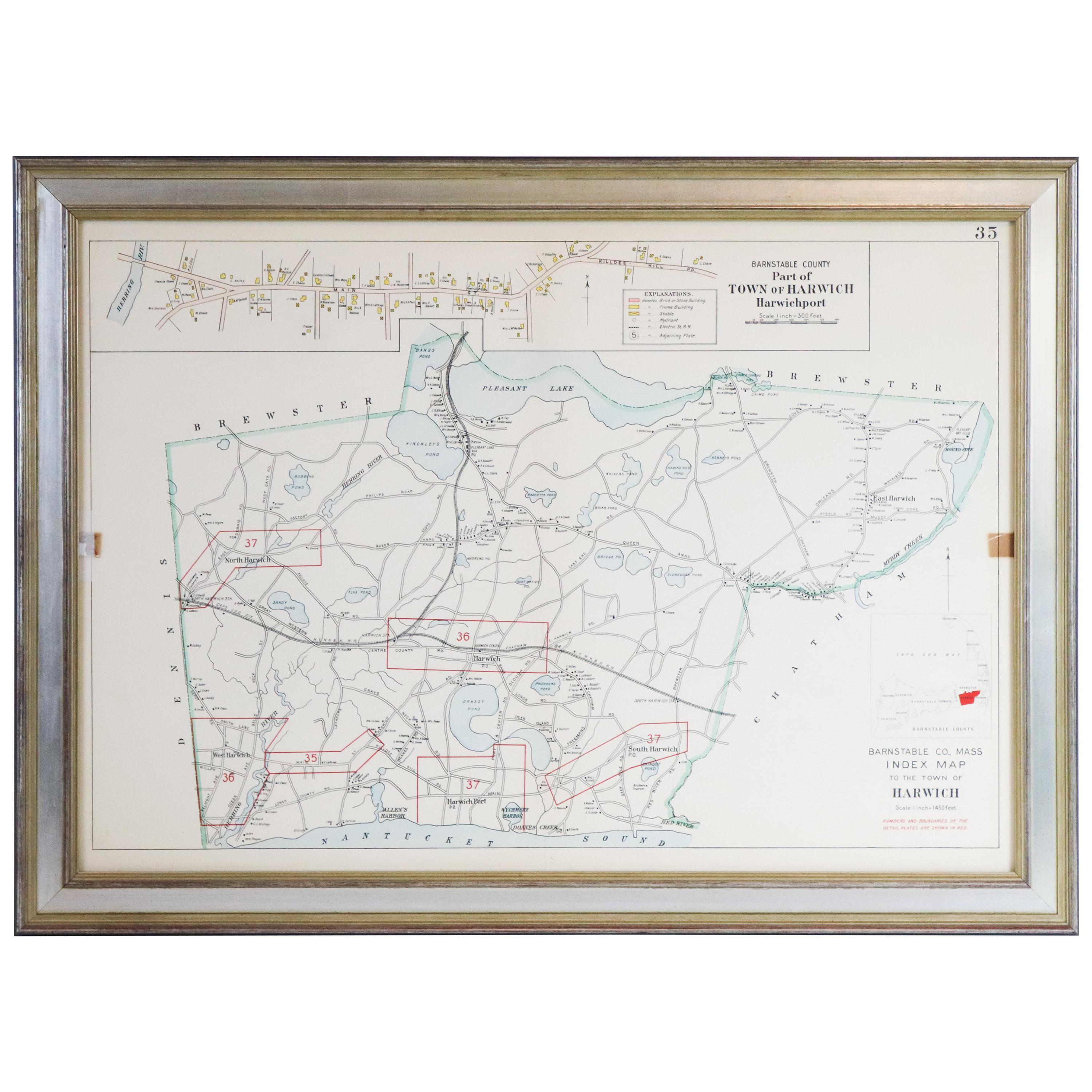
- Map of Harwich, MassachusettsLocated in Norwell, MATurn of the century map of Harwich, Massachusetts. Plate from a Cape Cod County Map book showing the Barnstable county town of Harwich including Allens Harbor, Pleasant Lake, Harwich...Category
20th Century Maps
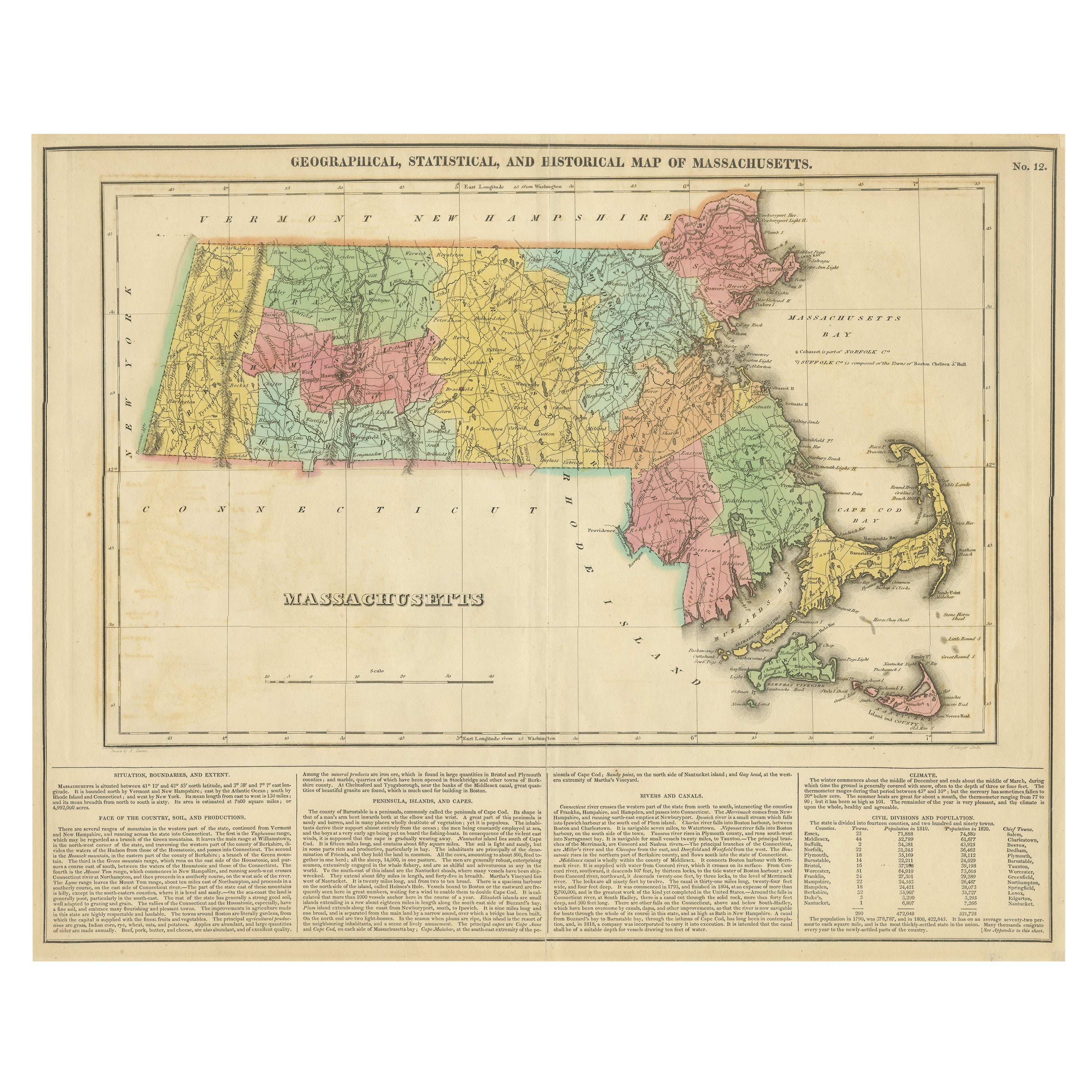
- Antique Geographical, Historical and Statistical Map of Massachusetts, 1822Located in Langweer, NLThis attractive map of Massachusetts presents a finely detailed overview of the state in the first quarter of the 19th century. Transportation ...Category
Antique 1820s Maps
MaterialsPaper