Maps
to
264
462
61
525
16
6
4
4
3
2
2
2,936
2,181
476
3
289
34
10
127
7
35
9
2
5
4
4
2
485
29
21
18
12
109
86
70
45
35
525
525
525
5
2
2
1
1
Maps For Sale
Period: 20th Century
Period: 1830s
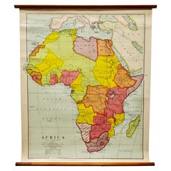
Large University Chart “Africa Physical ” by Bacon
Located in Godshill, Isle of Wight
Large University chart “Africa Physical ” by Bacon
W&A K Johnston’s charts of physical maps by G W Bacon,
This is a Physical map of Africa, it is lithograph set on Linen mounte...
Category
Early 20th Century Beaux Arts Maps
Materials
Linen
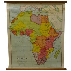
Large University Chart “Physical Map of Africa” by Bacon
Located in Godshill, Isle of Wight
Large university chart “Physical Map of Africa” by Bacon
W&A K Johnston’s Charts of Physical Maps By G W Bacon,
This is colorful Physical map of North America, it is large lithograph set...
Category
Early 20th Century Folk Art Maps
Materials
Linen
FRAME DRIVING SCHOOL 70 S 20th Century
Located in Madrid, ES
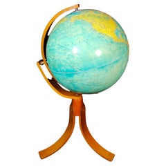
Large Globe 50S
THE GLOBE IS IN PLASTIC AND THE FOOT IN WOOD. 1950s. IT HAS LIGHT. GOOD CONDITION WITH CENTURIES OF USE. MEASUREMENTS: 110 CM IN HEIGHT AND 60 CM IN DIAMETER
good con...
Category
20th Century English Modern Maps
Materials
Plastic, Wood


