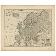
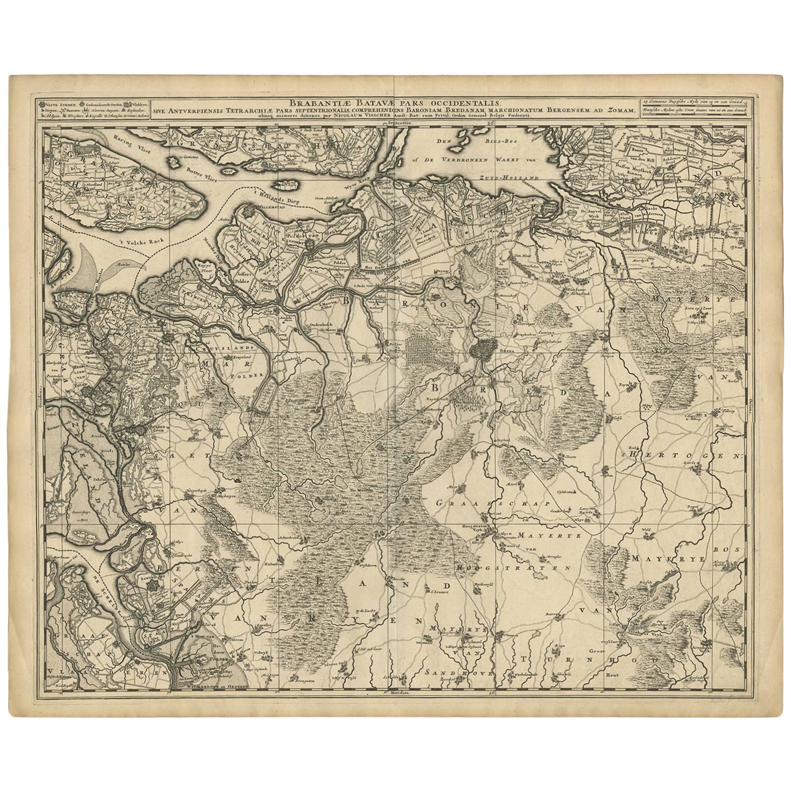
Antique Map of Europe by N. Visscher, circa 1660
View Similar Items


Want more images or videos?
Request additional images or videos from the seller
1 of 2
Antique Map of Europe by N. Visscher, circa 1660
About the Item
- Dimensions:Height: 20.79 in (52.8 cm)Width: 25.2 in (64 cm)Depth: 0.02 in (0.5 mm)
- Period:Mid-17th Century
- Date of Manufacture:circa 1660
- Condition:Minor fading. Some staining outside plate mark. Please study image carefully.
- Seller Location:Langweer, NL
- Reference Number:Seller: BG-091821stDibs: LU305439942501
About the Seller
5.0
Platinum Seller
These expertly vetted sellers are 1stDibs' most experienced sellers and are rated highest by our customers.
Established in 2009
1stDibs seller since 2017
1,947 sales on 1stDibs
More From This SellerView All
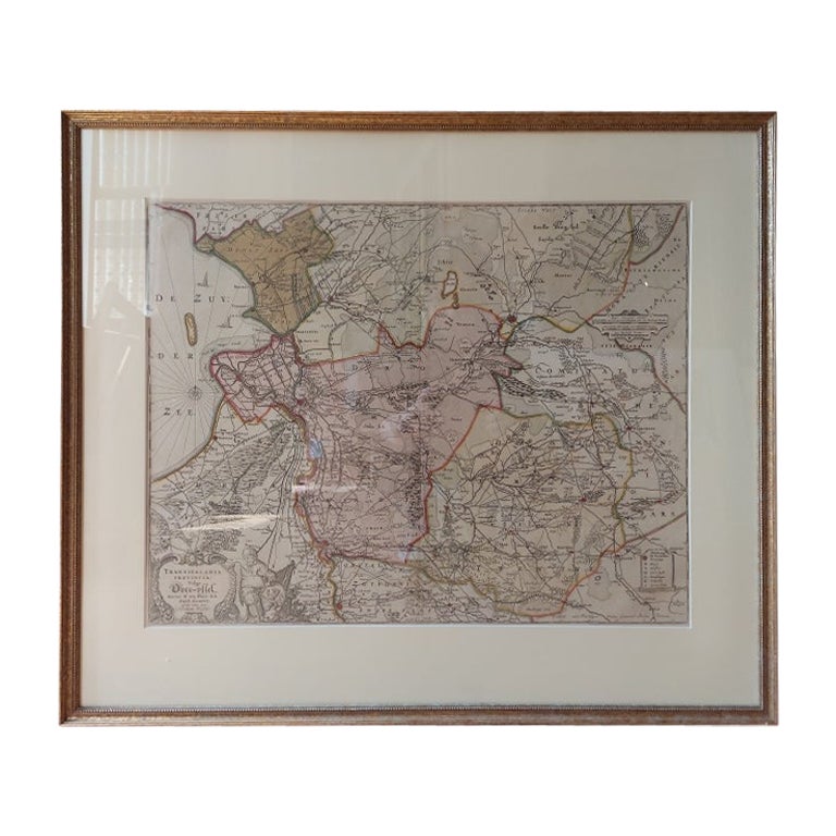
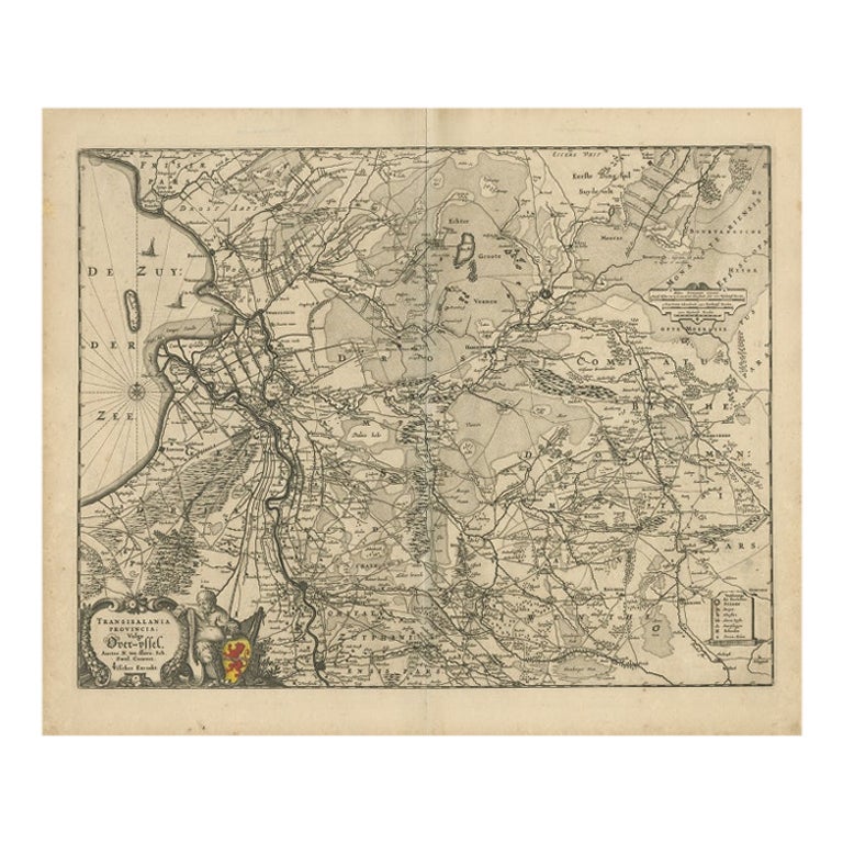
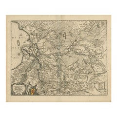
- Antique Map of Overijssel by Visscher, c.1660Located in Langweer, NLAntique map titled 'Transisalania provincia vulgo Over-yssel'. Original antique map of the province of Overijssel, the Netherlands. Published by N. Visscher after N. ten Have, circa ...Category
Antique 17th Century Maps
MaterialsPaper
- Antique Map of Austria by N. Visscher, circa 1690Located in Langweer, NLAntique map titled 'Austriae Archiducatus pars superior in omnes ejusdem'. Spectacular large map of Upper and Lower Austria between Passau and Wien with figurative cartouche and armo...Category
Antique Late 17th Century Maps
MaterialsPaper
 $769 Sale Price24% Off
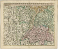
 - Antique Map of Switzerland by N. Visscher, circa 1690Located in Langweer, NLBeautifully detailed map of Switzerland and surrounding regions in present-day France, Germany, and Italy. This map features two decorative cartouches: the larger is flanked by two p...Category
Antique Late 17th Century Maps
MaterialsPaper
 $597 Sale Price20% Off
 - Antique Map of Switzerland by N. Visscher, circa 1690Located in Langweer, NLAntique map titled 'Tabula Geogaphica qua Pars Meridionalis sive Superior Rheni, Mosae, et Mosellae (..)'. Published by N. Visscher, Amsterdam, circa 1690. Contemporary coloring.Category
Antique Late 17th Century Maps
MaterialsPaper
 $584 Sale Price20% Off
 - Antique Map of Overijssel by Visscher, c.1652Located in Langweer, NLAntique map titled 'Transisalania provincia vulgo Over-yssel'. Original antique map of the province of Overijssel, the Netherlands. Published by N. Visscher after N. ten Have, circa ...Category
Antique 17th Century Maps
MaterialsPaper
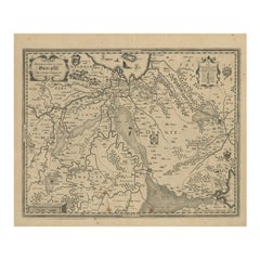
- Antique Map of Overijssel by Visscher, 1632Located in Langweer, NLAntique map titled 'De Heerlyckheyt van Over-IJssel'. Old map of the province of Overijssel, the Netherlands. Also depicted are various coats of arms. Artists and Engravers: Engraved...Category
Antique 17th Century Maps
MaterialsPaper
You May Also Like
- 17th Century Nicolas Visscher Map of Southeastern EuropeLocated in Hamilton, OntarioA beautiful, highly detailed map of southeastern Europe by Nicolas Visscher. Includes regions of Northern Italy (showing the cities Bologna, Padua, and Venice), Bohemia, Austria (sho...Category
Antique 17th Century Dutch Maps
MaterialsPaper
 $1,350 Sale Price38% Off
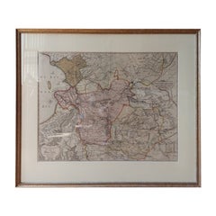
 - Antique Hand Colored Framed Map of EuropeLocated in West Palm Beach, FLAntique reproduction copied from an edition dated 1595 by Ortelius.Category
Antique Late 19th Century Maps
- Original Antique Map of Europe, Arrowsmith, 1820Located in St Annes, LancashireGreat map of Europe Drawn under the direction of Arrowsmith. Copper-plate engraving. Published by Longman, Hurst, Rees, Orme and Brown, 1820 ...Category
Antique 1820s English Maps
MaterialsPaper

- 18th Century Hand Colored Map of Spain and Portugal by VisscherBy Nicolaes Visscher IILocated in Alamo, CAThis is an early 18th century map of Spain and Portugal, with attractive original hand-coloring, entitled "Hispaniae et Portugalliae Regna per Nicolaum Visscher cum Privilegio Ordinu...Category
Antique Early 18th Century Dutch Maps
MaterialsPaper
- "Africae Accurata", a Hand-Colored 17th Century Map of Africa by VisscherBy Nicolaes Visscher IILocated in Alamo, CAAn 18th century hand-colored map of Africa entitled "Africae Accurata Tabula ex officina" by Nicolaes Visscher, published in Amsterdam in 1680. This beautiful, colorful and detailed map is embellished by eleven sailing ships, a whale, flying fish and multiple land animals. It includes the Mediterranean Sea and adjacent portions of Portugal, Spain, Italy, Greece and Asia Minor. The map perpetuates several long-standing errors, including the origin of the Nile River from two imaginary lakes in southern Africa, which are shown adjacent to the imaginary Lunae Montes (Mountains of the Moon...Category
Antique Late 17th Century Dutch Maps
MaterialsPaper
- Large Original Antique Map of Europe by Sidney Hall, 1847Located in St Annes, LancashireGreat map of Europe Drawn and engraved by Sidney Hall Steel engraving Original colour outline Published by A & C Black. 1847 Unframed Free shipping.Category
Antique 1840s Scottish Maps
MaterialsPaper


