Items Similar to Antique Map of the Northwest Coast of Masafuera Island or Selkirk Island

Want more images or videos?
Request additional images or videos from the seller
1 of 6
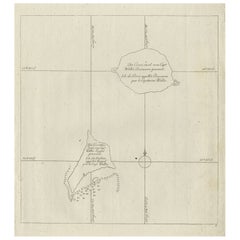
Antique Map of the Northwest Coast of Masafuera Island or Selkirk Island
About the Item
Antique map titled 'Vue de Cote N.O. de Masafuero'. Profile view of the north-west coast of Masafuera Island (also called Alejandro Selkirk Island). It also shows the anchorage of the Swallow and depth soundings.
Published in an edition of John Hawkesworth's atlas to accompany a French edition of Captain James Cook's voyages to the Southern Hemisphere. Published 1774.
- Dimensions:Height: 10.48 in (26.6 cm)Width: 15.44 in (39.2 cm)Depth: 0.02 in (0.5 mm)
- Materials and Techniques:
- Period:
- Date of Manufacture:1774
- Condition:General age-related toning. Shows some wear and soiling, blank verso. Small defect lower left corner. Please study image carefully.
- Seller Location:Langweer, NL
- Reference Number:
About the Seller
5.0
Platinum Seller
These expertly vetted sellers are 1stDibs' most experienced sellers and are rated highest by our customers.
Established in 2009
1stDibs seller since 2017
1,933 sales on 1stDibs
Typical response time: <1 hour
- ShippingRetrieving quote...Ships From: Langweer, Netherlands
- Return PolicyA return for this item may be initiated within 14 days of delivery.
More From This SellerView All
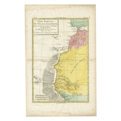
- Antique Map of the Coast of Northwest Africa by Dien, 1820Located in Langweer, NLAntique map Africa titled 'Partie Occidentale de l'Ancien Continent, depuis Lisbonne jusquá la Riviere de Sierra Leona'. Detailed map of Coastal Nor...Category
Antique 19th Century Maps
MaterialsPaper
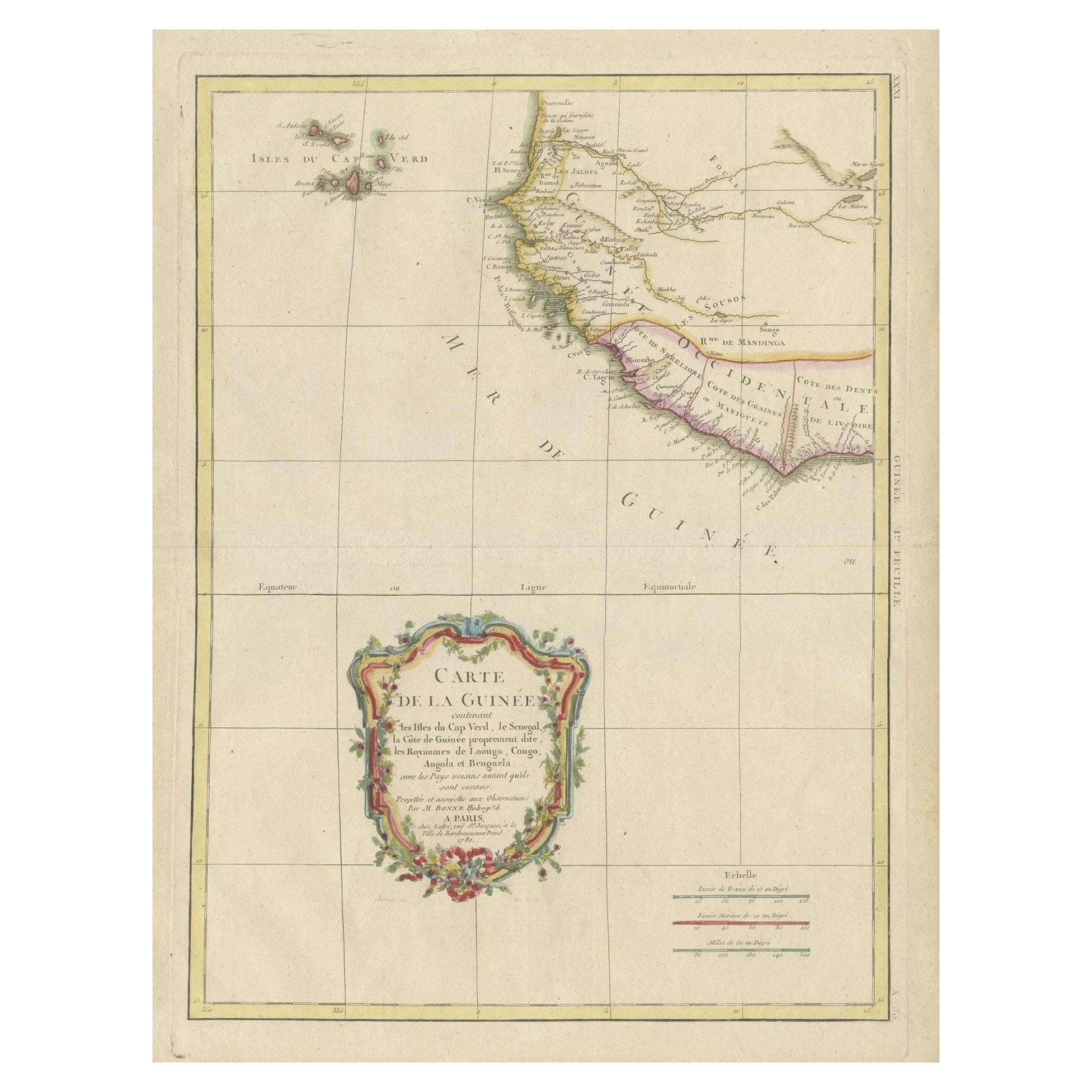
- Antique Map of the Coast of Guinea and the Cape Verde IslandsLocated in Langweer, NLAntique map titled 'Carte de la Guinée (..)'. This map was originally part of a 2 sheet larger map of Eastern Africa, showing the Cape Verde Islands and Senegal. This map originates ...Category
Antique Late 18th Century Maps
MaterialsPaper
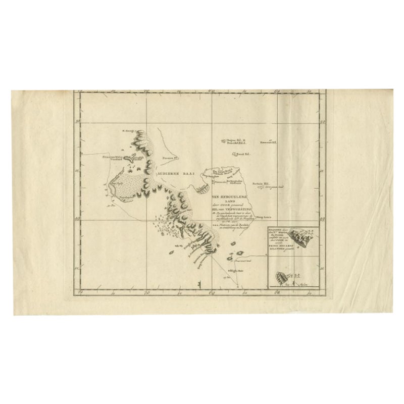
- Antique Map of the Coast of Kerguelens Island by Cook, 1803Located in Langweer, NLAntique map Desolation Islands titled 'Van Kerguelens Land door Cook genaamd (..)'. Antique map of Kerguelens island coast, known today as the Desolation islands. Originates from 'Re...Category
Antique 19th Century Maps
MaterialsPaper
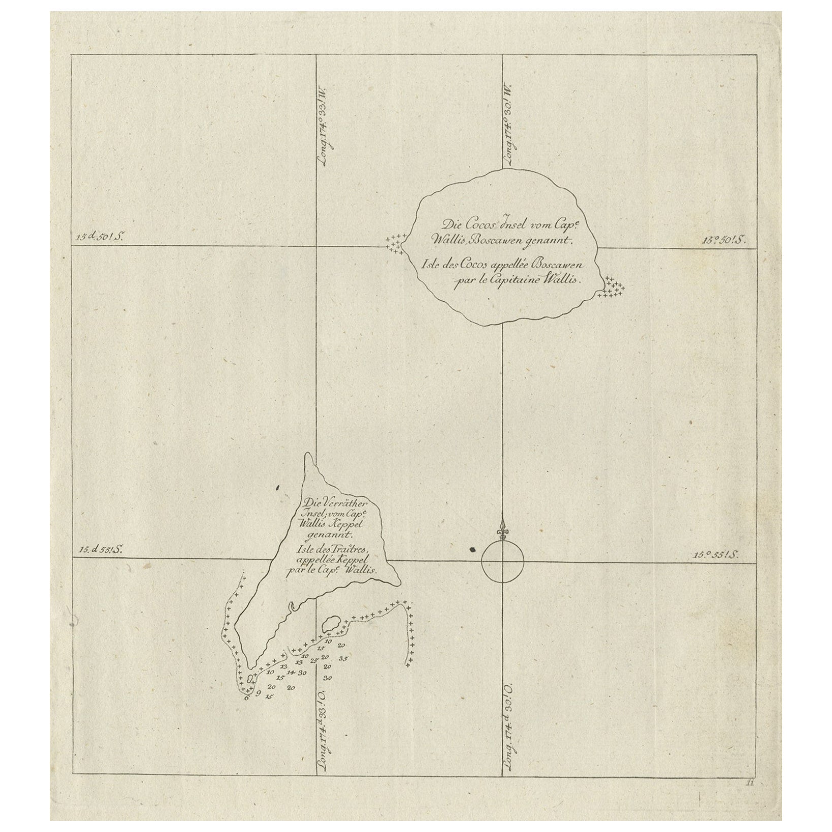
- Antique Map of the Cocos or Keeling Islands, 1778Located in Langweer, NLAntique map titled 'Die Cocos Insel vom Capt. Wallis Bosawren. Die Verrather Islel von Capt. Wallis Keppel Genannt'. Also with French subtitles. Old map of the Cocos or Keeling Islan...Category
Antique 18th Century Maps
MaterialsPaper
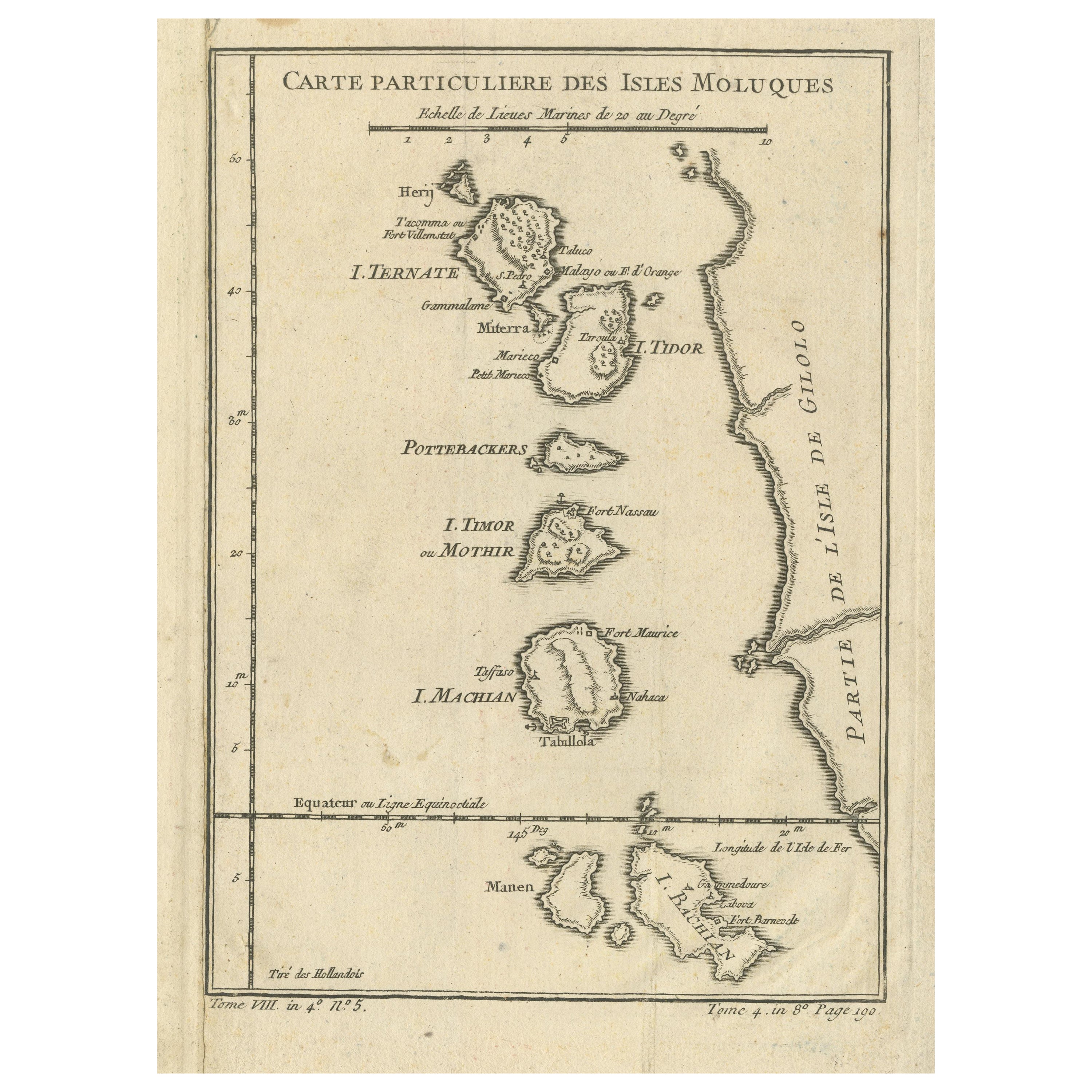
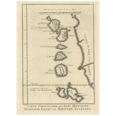
- Antique Map of the Maluku Islands or Moluccas, IndonesiaLocated in Langweer, NLAntique map titled 'Carte Particuliere des Isles Moluques'. This map depicts the islands of Herij, Ternate, Tidor, Pottebackers, Timor, Machian and Bachian. The Moluccan islands were...Category
Antique Mid-18th Century Maps
MaterialsPaper
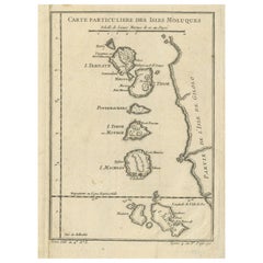
- Original Antique Map of the Maluku Islands or MoluccasLocated in Langweer, NLAntique map titled 'Carte Particuliere des Isles Moluques - Byzondere Kaart der Molukze Eylanden'. This map depicts the islands of Herij, Ternate, Tidor, Pottebackers, Timor, Machian...Category
Antique Mid-18th Century Maps
MaterialsPaper
You May Also Like
- Northwest Coast and Isle of Man MapLocated in Cheshire, GBGreenville Collins Northwest Coast and Isle of Man. hand coloured chart, encased in an ebonised frame. Dimensions Height 26.5 Inches Width 30 Inches Depth 1 InchesCategory
Early 20th Century British Maps
MaterialsPaper
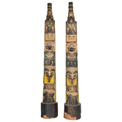
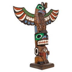
- Circa 1900 Pair of Northwest Coast TotemsBy Native American ArtLocated in Coeur d'Alene, IDMatching pair of Northwest Coast carved model totem poles. Polychrome decorated with carved humanoid and bird figures. Each twice signed "Betty Sanners" back and bottom. Provenance Hudson Bay Fur Company, Seattle, Washington. 29"H Period: Early 20th century Origin: Northwest Coast Size: 29" base 4 1/2 x 3 1/2 Family Owned & Operated Cisco’s Gallery deals in the rare, exceptional, and one-of-a-kind pieces that define the history of America and the Old West. Our pieces range from American Indian to Cowboy Western and include original items of everyday life, commerce, art, and warfare that tamed America’s frontier. Our 14,000 square foot gallery opened in 1996 in beautiful Coeur d’Alene, Idaho. Personal Service Cisco’s operates on old fashioned values – honesty and integrity, and all of our items are backed by our money back guarantee. We appreciate the opportunity to earn your business. Whether you desire assistance with a jewelry purchase, choosing a gift, identification, or even selling – we hope to be your trusted source. Native American carvings & totems native American Indian native American totem poles n.Category
Antique Early 1900s American Native American Native American Objects
MaterialsCedar
- 1854 Map of Massachusetts, Connecticut and Rhode Island, Antique Wall MapLocated in Colorado Springs, COThis striking wall map was published in 1854 by Ensign, Bridgman & Fanning and has both full original hand-coloring and original hardware. This impression is both informative and highly decorative. The states are divided into counties, outlined in red, green, and black, and subdivided into towns. Roads, canals, and railroad lines are prominently depicted, although they are not all labeled. The mapmakers also marked lighthouses, banks, churches, and prominent buildings, with a key at right. The map is an informative and comprehensive overview of the infrastructural development of New England prior to the Civil War. Physical geographies depicted include elevation, conveyed with hachure marks, rivers and lakes. The impression features an inset map of Boston...Category
Antique 19th Century American Maps
MaterialsPaper
- Northwest Coast Totem by Marlin AlphonseBy Native American ArtLocated in Coeur d'Alene, IDColorful Alaskan three figure winged totem. Carved and painted by Marlin Alphonse. Noted on back "purchased by Brad and Hazel Ritter on board Royal Princes, Sitka, Alaska 1986. His name heavily carved on back. PERIOD: 1986 ORIGIN: Alaska SIZE: 13"H x 12"W x 3 1/2"D Family Owned & Operated Cisco’s Gallery deals in the rare, exceptional, and one-of-a-kind pieces that define the history of America and the Old West. Our pieces range from American Indian to Cowboy Western and include original items of everyday life, commerce, art, and warfare that tamed America’s frontier. Our 14,000 square foot gallery opened in 1996 in beautiful Coeur d’Alene, Idaho. Personal Service Cisco’s operates on old fashioned values – honesty and integrity, and all of our items are backed by our money back guarantee. We appreciate the opportunity to earn your business. Whether you desire assistance with a jewelry purchase, choosing a gift, identification, or even selling – we hope to be your trusted source. Native American carvings & totems native American Indian native American totem poles n.Category
Vintage 1980s American Native American Native American Objects
MaterialsCedar
- Large Original Antique Map of Rhode Island, USA, C.1900Located in St Annes, LancashireFabulous map of Rhode Island Original color Engraved and printed by the George F. Cram Company, Indianapolis. Published, C.1900 Unframed Free ...Category
Antique 1890s American Maps
MaterialsPaper
- Large Original Vintage Map of The Pacific Islands Including HawaiiLocated in St Annes, LancashireGreat map of The Pacific Islands Unframed Original color By John Bartholomew and Co. Edinburgh Geographical Institute Published, circa 1...Category
Vintage 1920s British Maps
MaterialsPaper


Recently Viewed
View AllMore Ways To Browse
Sierra Leone Antique Map
Antique Colorado Map
Antique Maps Colorado
Vietnam Map
Antique Map Of Colorado
Congo Antique Map
World Map Relief
Antique Map Norfolk
Antique Maps Norfolk
Brooklyn Map
Gambia Antique Map
Vintage Bartholomew Maps
Vintage Bartholomews Maps
Antique Brooklyn Map
Antique South Carolina Map
Durham Antique Map
Map Made Of Silver Gold
Mozambique Antique Map