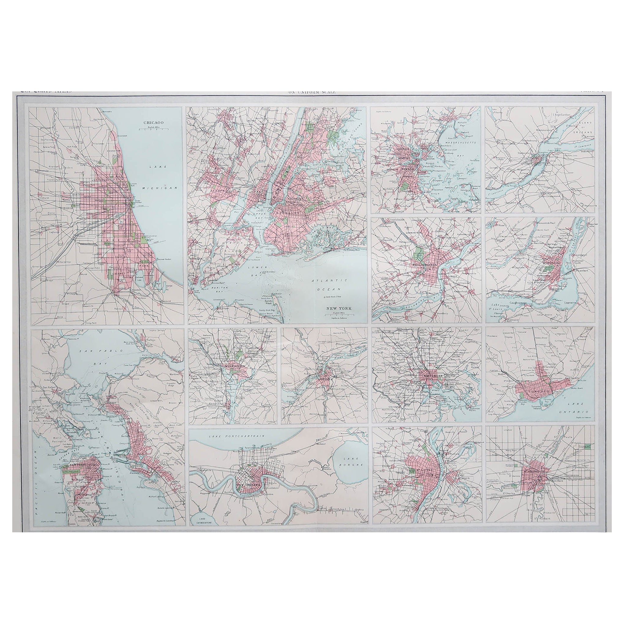
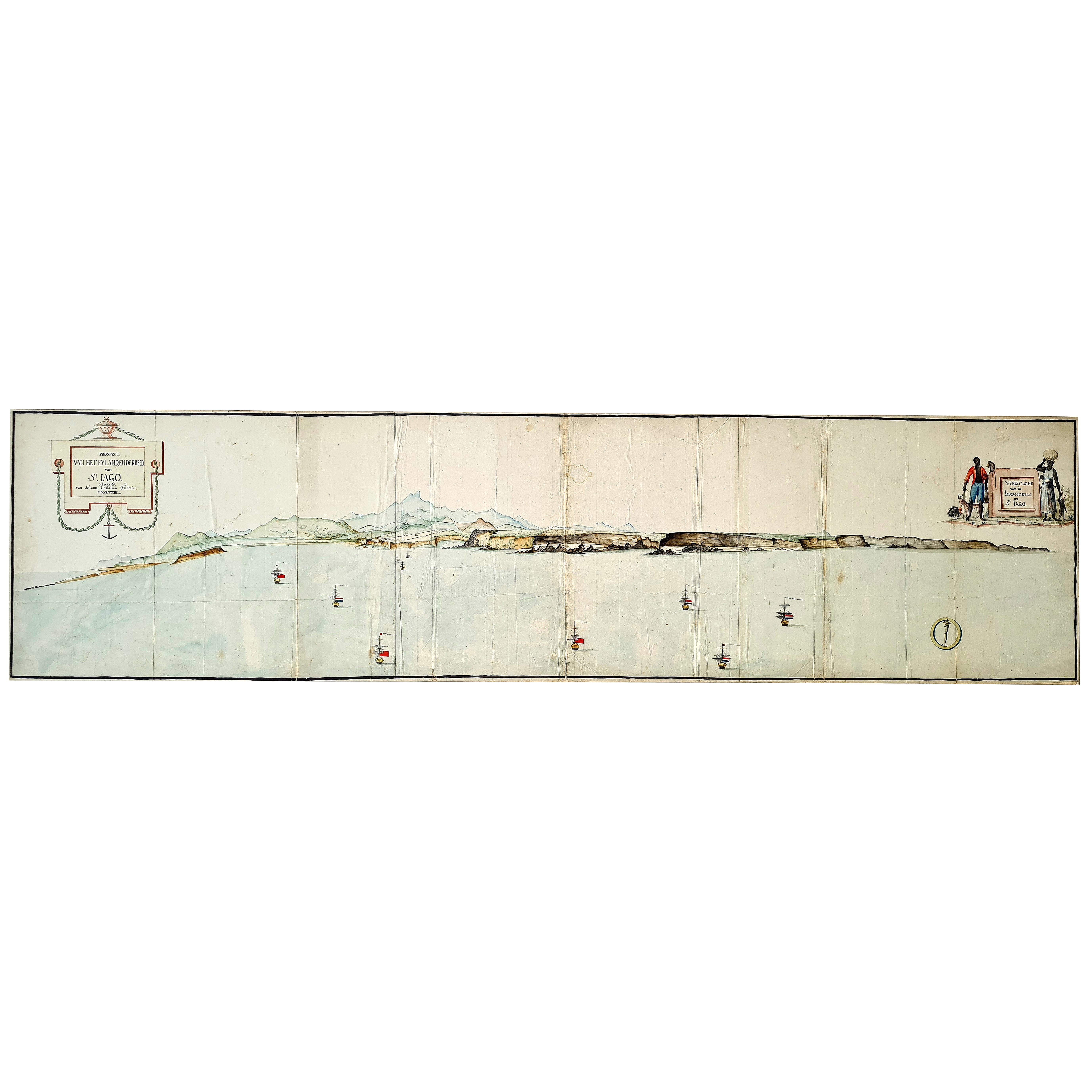
French Hand Painted Map of Paris City Centre circa 1860
View Similar Items

1 of 5
French Hand Painted Map of Paris City Centre circa 1860
About the Item
- Dimensions:Height: 52.76 in (134 cm)Width: 87.01 in (221 cm)Depth: 2.37 in (6 cm)
- Materials and Techniques:
- Place of Origin:
- Period:
- Date of Manufacture:1860
- Condition:
- Seller Location:Sint-Kruis, BE
- Reference Number:1stDibs: LU2548314983292
You May Also Like
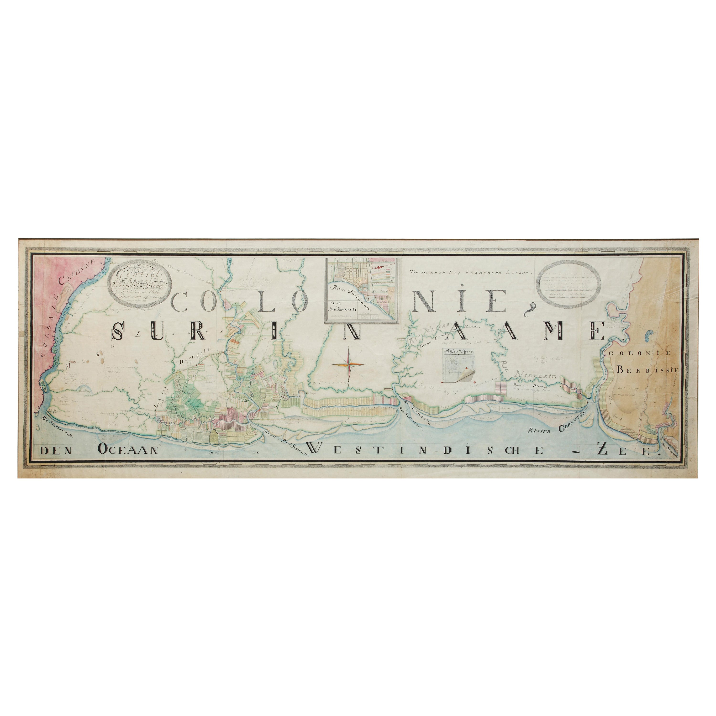
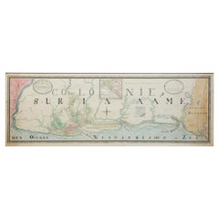
- Extremely Large Hand-Drawn Manuscript Map of Surinam, 1830, History of SlaveryLocated in Amsterdam, NLA unique large hand-drawn map of Surinam by Albrecht Helmut Hiemcke (German, 1760-1839) ? 'Colonie Surinaame', 1830 A large hand-drawn and coloured map of the colony of Suri...Category
Antique Mid-19th Century Surinamer Maps
MaterialsPaper
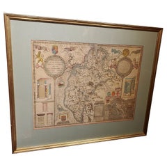
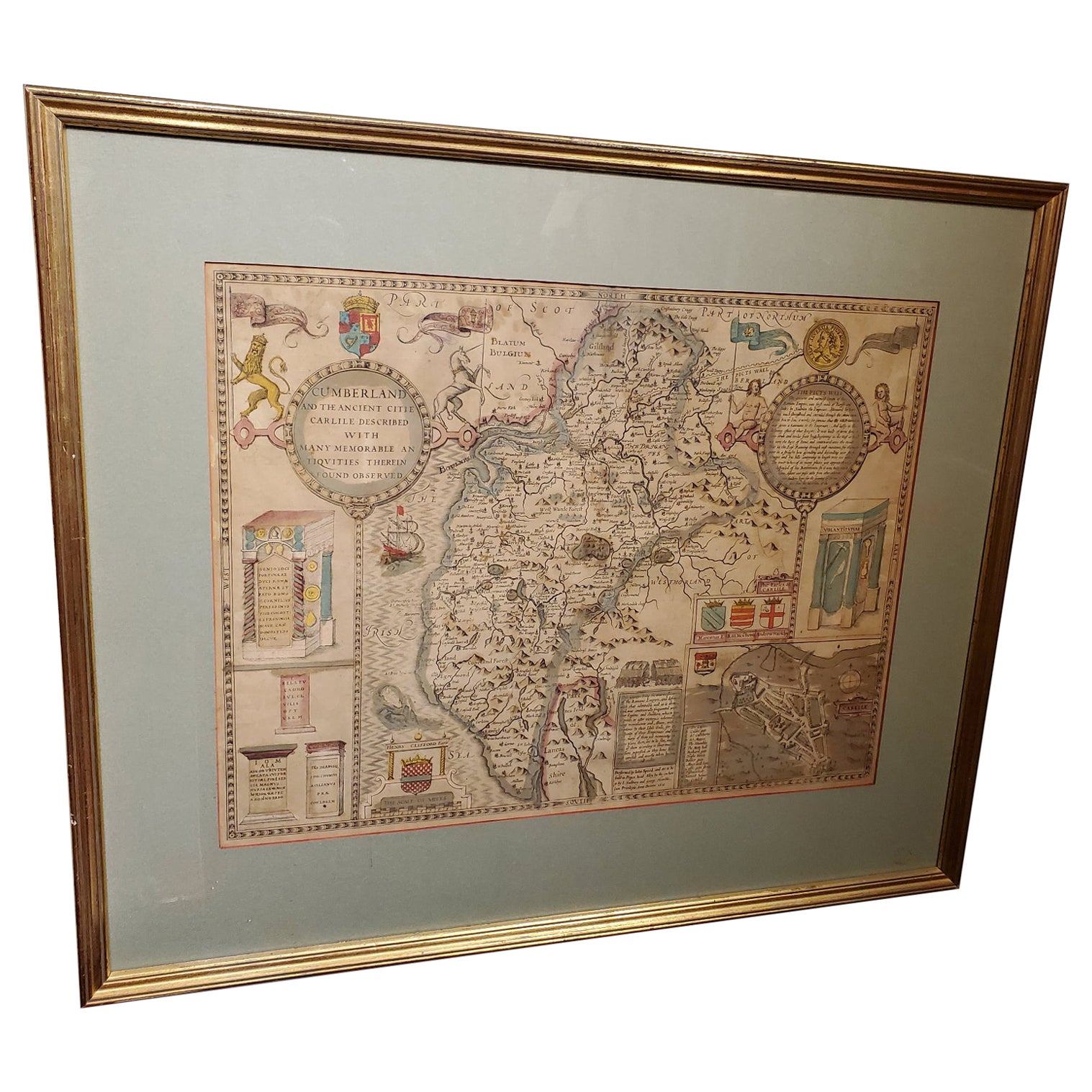
- 17th Century Map of Cumberland County in Northwest England Printed by John SpeedBy John SpeedLocated in Middleburg, VARare extremely early map of the county of Cumberland in the Northwest of England. Printed by John Speed, hand colored. Excellent condition. English. Dated...Category
Antique Early 17th Century English Maps
MaterialsPaper
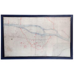
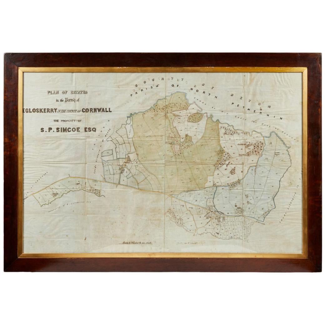
- Antique Framed Pen and Ink on Fabric Map of Cornwall from Early 19th CenturyLocated in Los Angeles, CAEarly 19th-century English pen-and-ink fabric map of Cornwall. With beautiful hand-drawn details and faded sepia tones, this framed piece turns history into art. England, circa 181...Category
Antique Early 19th Century English Drawings
MaterialsFabric, Walnut
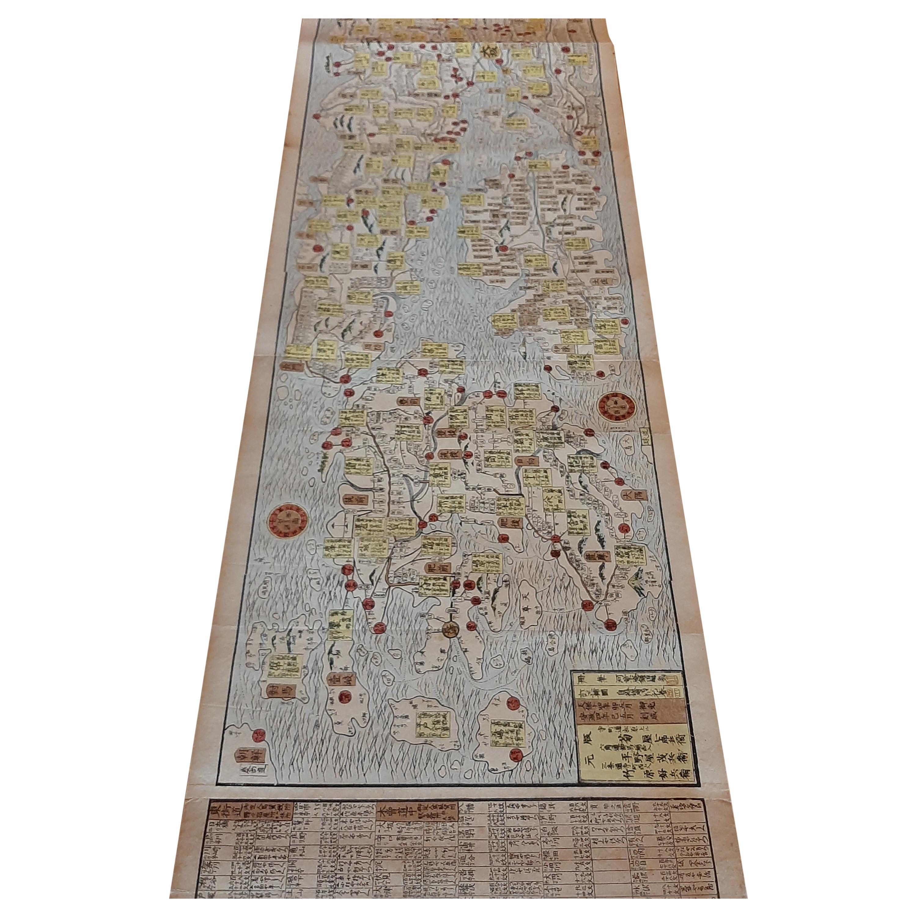
- Antique Woodblock Print Map of Japan 'circa 1860'Located in Langweer, NLOriginal Japanese woodblock print map of Japan. Very large and fascinating map, rebacking with Japanese paper. Published circa 1860.Category
Antique Late 19th Century Maps
MaterialsPaper
- Antique Map of the City of Paris by Tirion '1763'Located in Langweer, NLAntique map titled 'Nieuwe Kaart der platte Grond van de Stad Parys (..)'. Beautiful city plan of Paris, France. This map originates from 'Nieuwe en Beknopte Hand-Atlas, bestaande in...Category
Antique Mid-18th Century Maps
MaterialsPaper
 $1,054 Sale Price20% Off
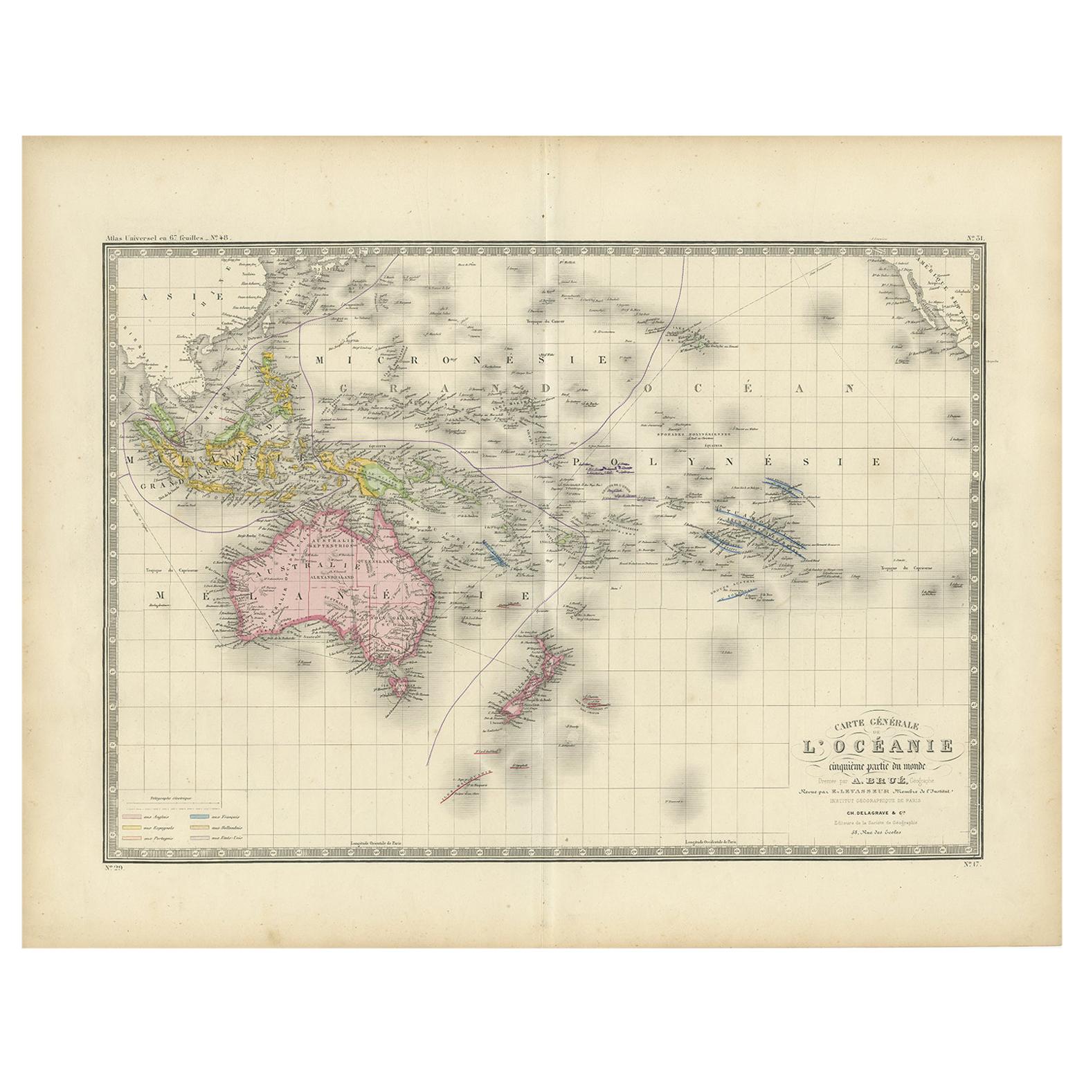
 - Antique Map of Oceania by Levasseur, circa 1860Located in Langweer, NLAntique map titled 'Carte générale de l'Océanie'. Large map of Oceania including New Zealand, Australia, Polynesia, Micronesia and the East Indies. This map originates from 'Atlas Un...Category
Antique Mid-19th Century Maps
MaterialsPaper
 $219 Sale Price20% Off