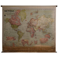
Map of the World, 1905, on Retractable Wooden Roller
View Similar Items


1 of 10
Map of the World, 1905, on Retractable Wooden Roller
About the Item
- Dimensions:Height: 45 in (114.3 cm)Width: 54 in (137.16 cm)Depth: 1 in (2.54 cm)
- Style:British Colonial (Of the Period)
- Materials and Techniques:
- Place of Origin:
- Period:
- Date of Manufacture:1905
- Condition:Wear consistent with age and use.
- Seller Location:Madison, WI
- Reference Number:1stDibs: LU92359139011
You May Also Like
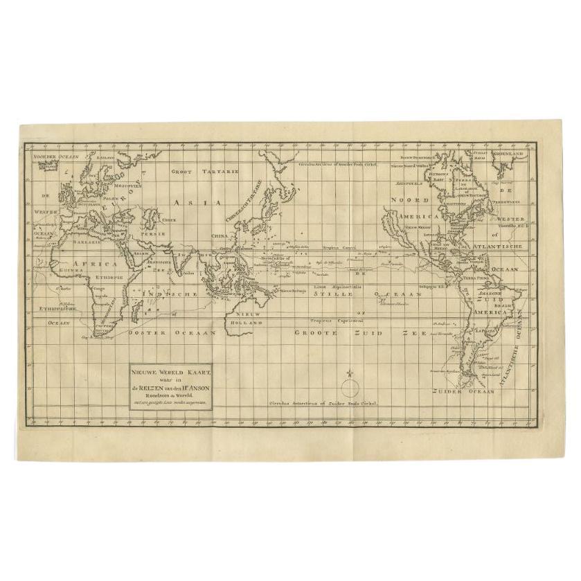
- Antique Map of the World on Mercator's Projection, 1788Located in Langweer, NLAntique map titled 'Kaart van de Geheele Wereld (..)'. Uncommon small world map on Mercator's projection. Nice detail of the islands throughout the wor...Category
Antique Late 18th Century Maps
MaterialsPaper
 $659 Sale Price20% Off
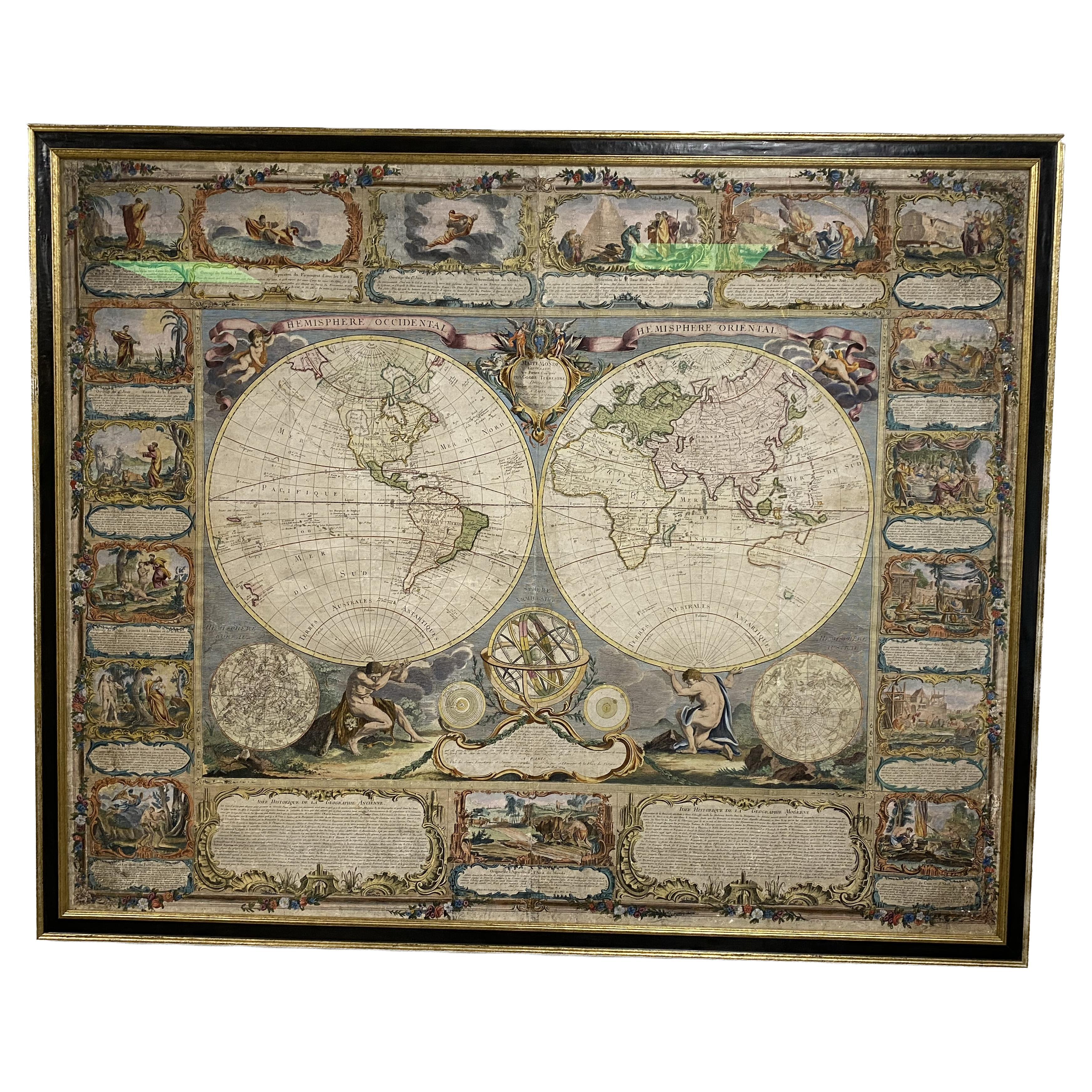
 - Colored wall map of the WORLDBy ChambonLocated in ZWIJNDRECHT, NL“Mappe Monde, contenant les Parties Connues du Globe Terrestre” CHAMBON, Gobert-Denis (France, 17.. - 1781) Paris, Longchamps et Janvier, 1754 Size H. 115 x W. 145 cm. Gobert-Denis Chambon made copper engraving after the work of Guillaume De L’Isle, published in 1754 by Jean Janvier and S.G. Longschamps. A huge wall map of the world in two hemispheres printed on two sheets, depicting the Eastern and Western hemispheres supported by two male figures, decorated at the bottom right and left with two celestial hemispheres (boreal and southern) and at the bottom in the middle with an armillary sphere, in addition. This map is most notable for its depiction of the Sea of Japan labeled "Mer de Corée" and of "Mer de L'Ouest" or Sea of the West - a great sea, easily the size of the Mediterranean, to flow from the then-known Strait of Juan de Fuca...Category
Antique Mid-18th Century French French Provincial Maps
MaterialsWood, Paper

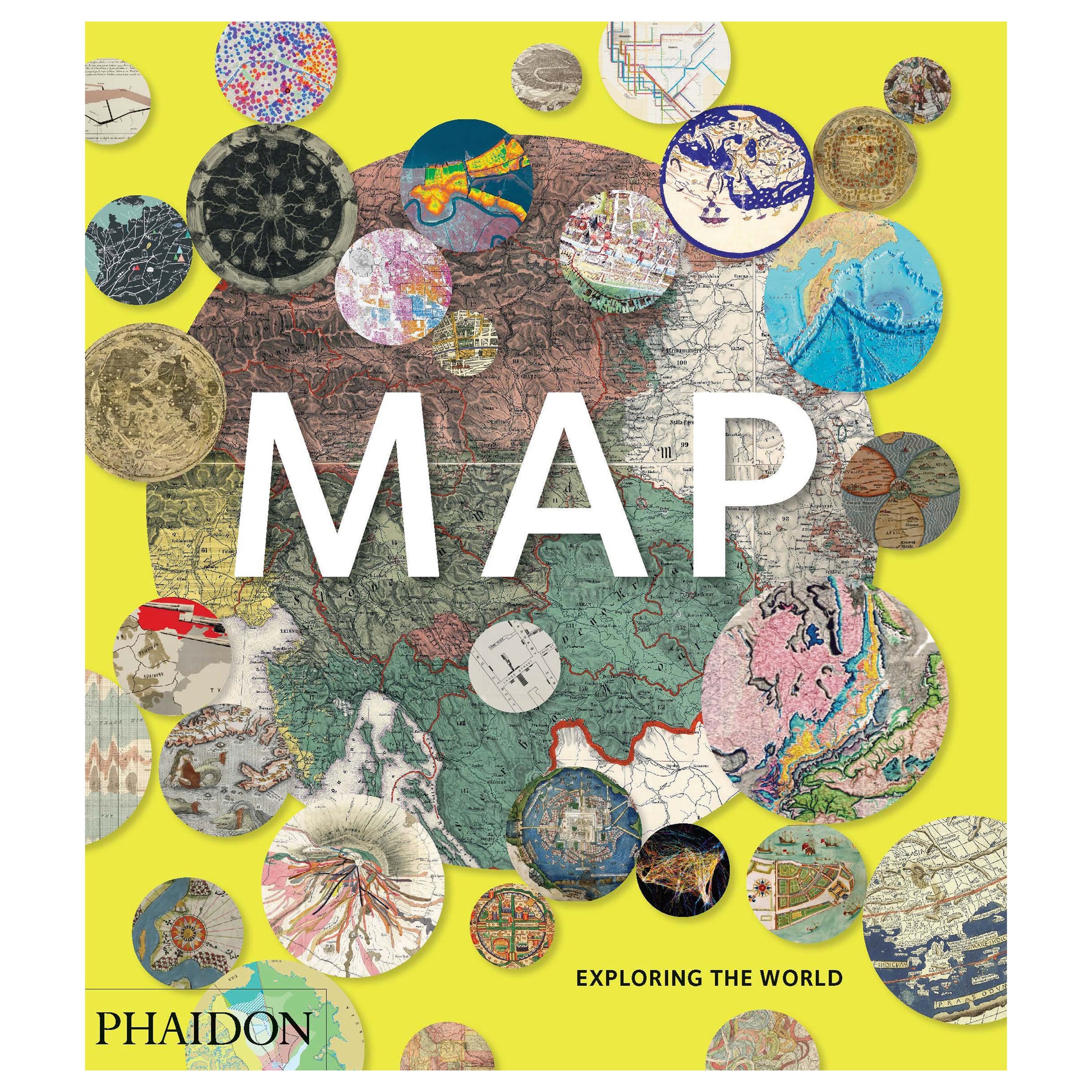
- Map, Exploring The WorldLocated in New York City, NY300 stunning maps from all periods and from all around the world, exploring and revealing what maps tell us about history and ourselves. Selected by an international panel of cartographers, academics, map dealers and collectors, the maps represent over 5,000 years of cartographic innovation drawing on a range of cultures and traditions. Comprehensive in scope, this book features all types of map from navigation and surveys to astronomical maps, satellite and digital maps, as well as works of art inspired by cartography. Unique curated sequence presents maps in thought-provoking juxtapositions for lively, stimulating reading. Features some of the most influential mapmakers and institutions in history, including Gerardus Mercator, Abraham Ortelius, Phyllis Pearson, Heinrich Berann...Category
21st Century and Contemporary Hong Kong Books
MaterialsPaper
 $60 / item
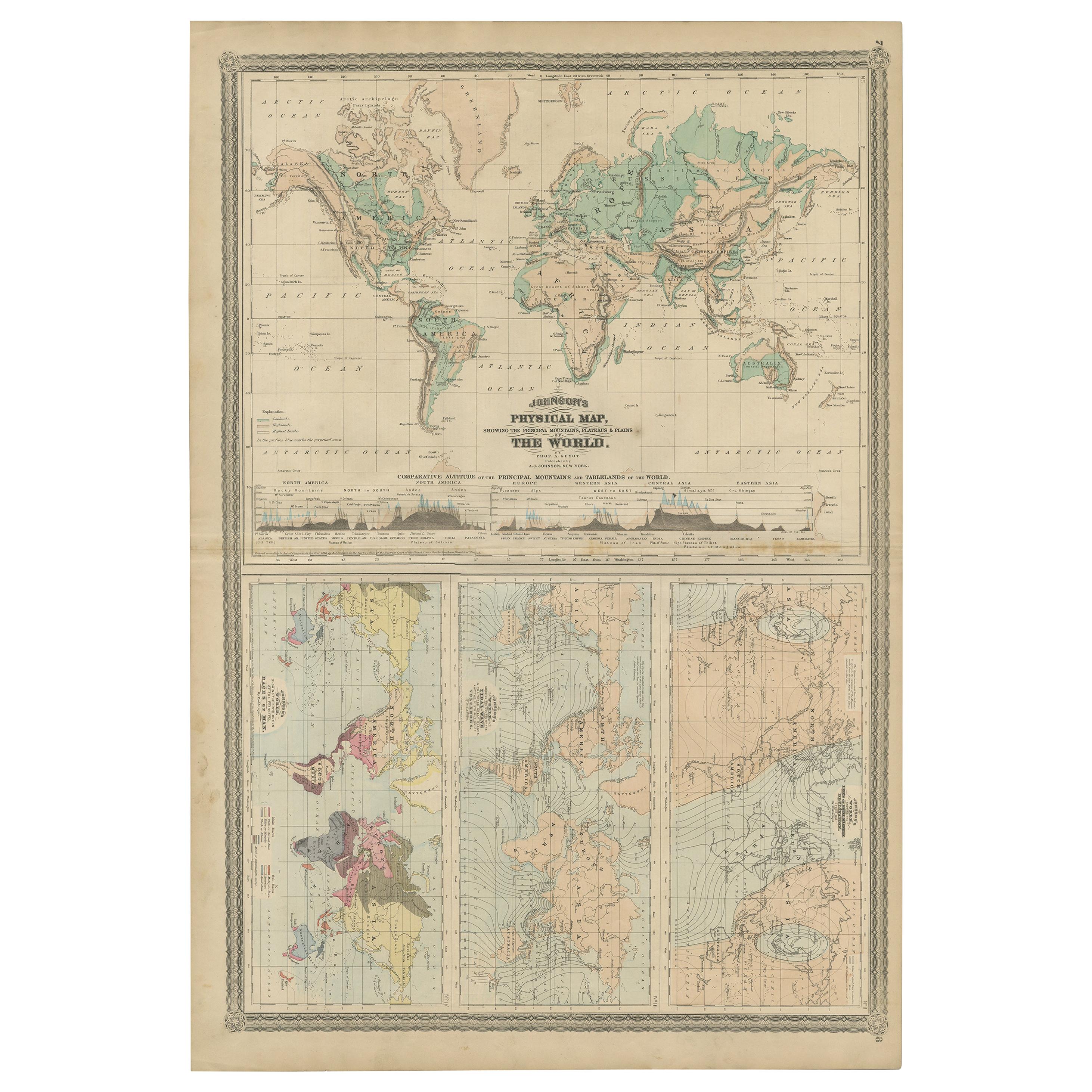
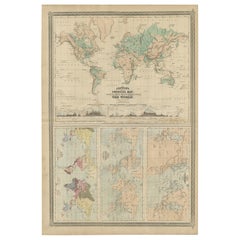
 - Four Physical Maps of the World on One Sheet , 1872Located in Langweer, NLFour physical maps of the world on one sheet. The upper map shows lowlands, highlands and highest lands. The other maps show world's races, ocean current and volcanoes, and magnetic ...Category
Antique Late 19th Century Maps
MaterialsPaper
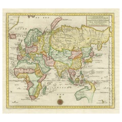
- Antique Map of the Eastern Part of the WorldLocated in Langweer, NLAntique map titled 'Nieuwe Kaart van het Oostelykste Deel der Weereld, diendende tot aanwyzing van de Scheepstogten der Nederlanderen Naar Oostindie'. This finely engraved map of the...Category
Antique Mid-18th Century Maps
MaterialsPaper
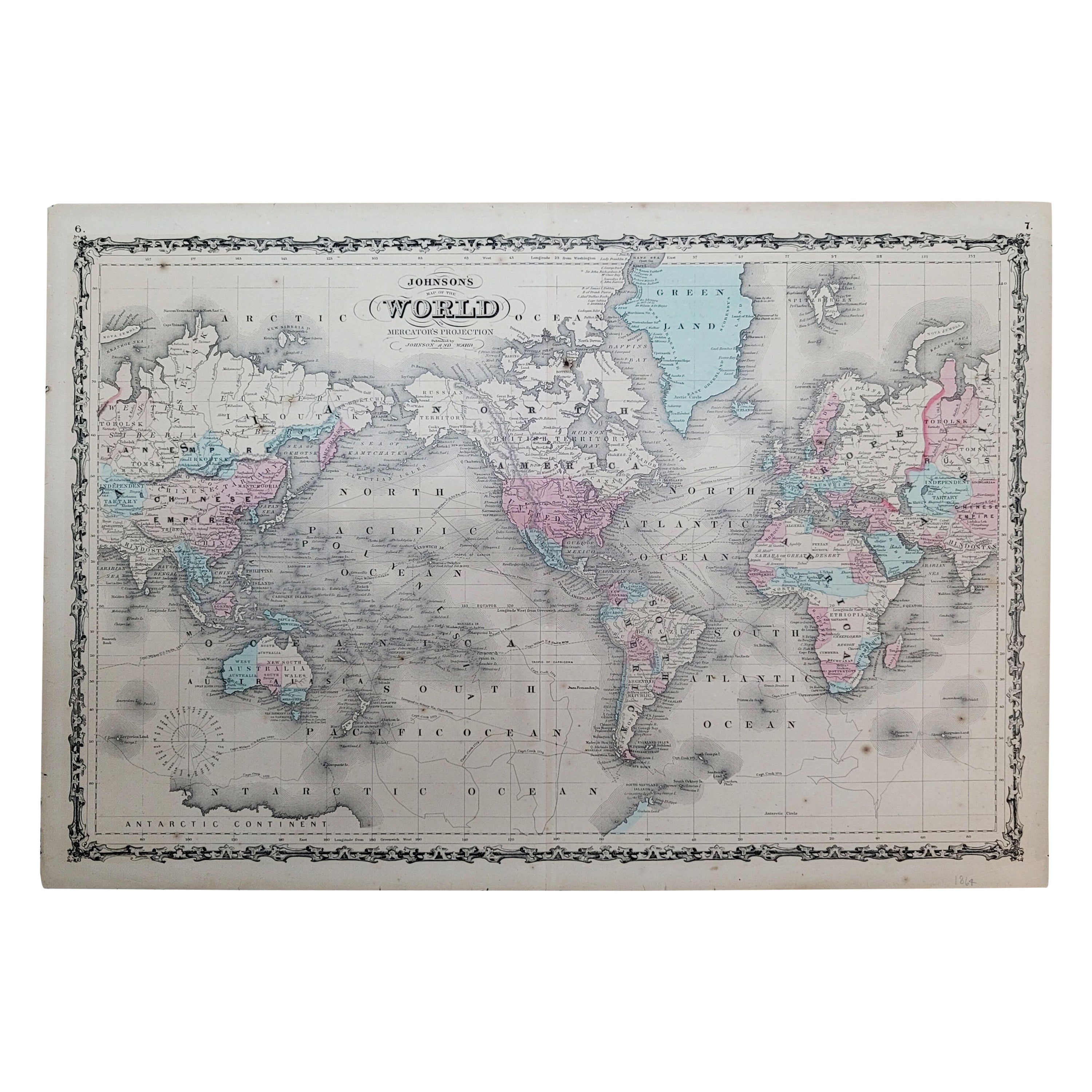
- 1864 Johnson's Map of the World on Mercator's Projection, Ric.B009Located in Norton, MAAn 1864 Johnson's map of the World on Mercator's Projection Ric.b009 About this Item "This antique map came from Johnson's New Illustrated (Steel Plate) Family Atlas, publ...Category
Antique 19th Century Dutch Maps
MaterialsPaper

Recently Viewed
View AllMore Ways To Browse
Antique Wooden Roller
Antique Map Argentina
Antique Map Of Argentina
John Acton
William Acton
Antique Map Norfolk
Antique Map Of Colombia
Antique Maps Hampshire
Antique Maps Norfolk
Colombia Map Antique
Durham Antique Map
Mozambique Antique Map
Nottinghamshire Antique Map
Patagonia Map
Antique Furniture Queensland
Gabon Antique Map
Minnesota Map
Moravia Map