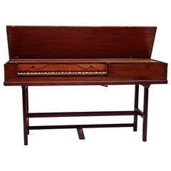
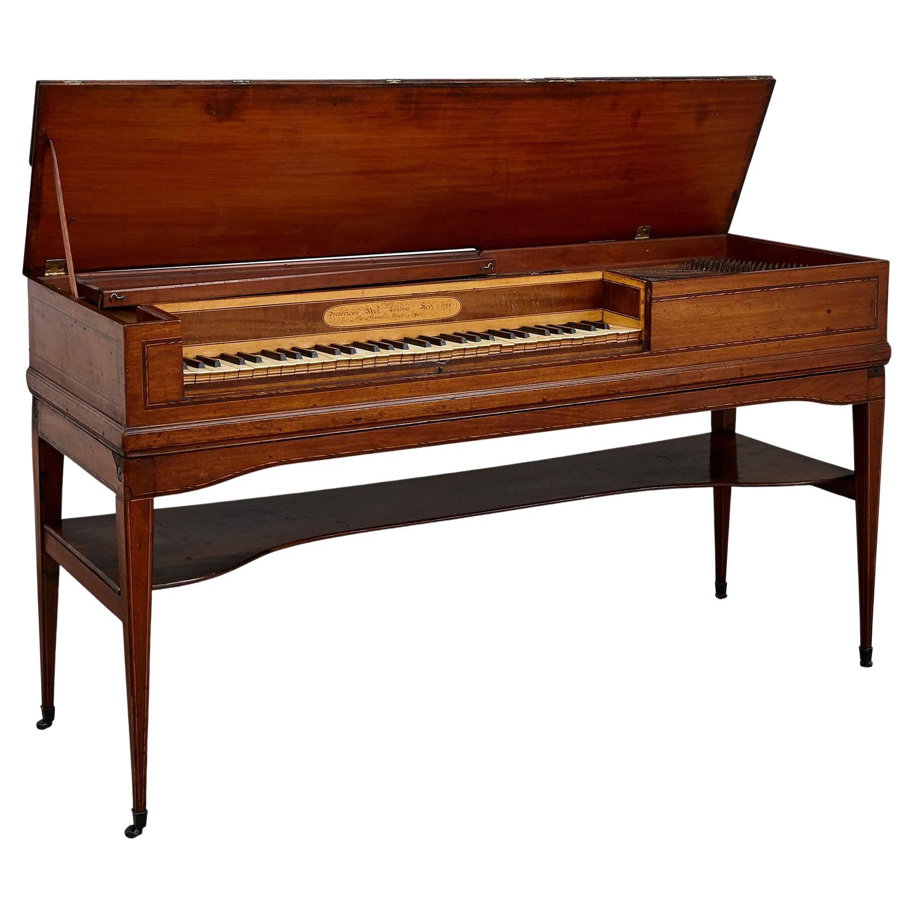
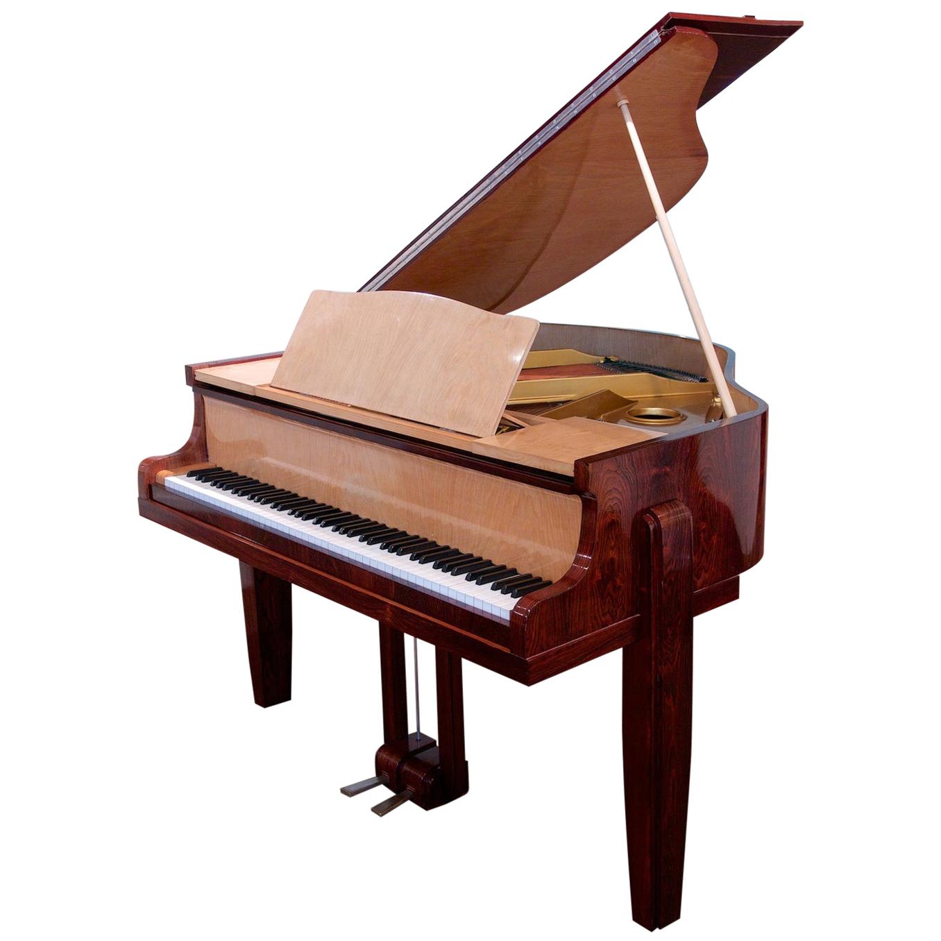
Ganer Square Piano c1780
View Similar Items
1 of 10
Ganer Square Piano c1780
About the Item
- Creator:Christopher Ganer (Maker)
- Dimensions:Height: 32.09 in (81.5 cm)Width: 60.63 in (154 cm)Depth: 20.67 in (52.5 cm)
- Materials and Techniques:
- Place of Origin:
- Period:
- Date of Manufacture:Circa 1780
- Condition:Please contact dealer for condition report.
- Seller Location:London, GB
- Reference Number:Seller: M293841stDibs: LU9758824616
You May Also Like
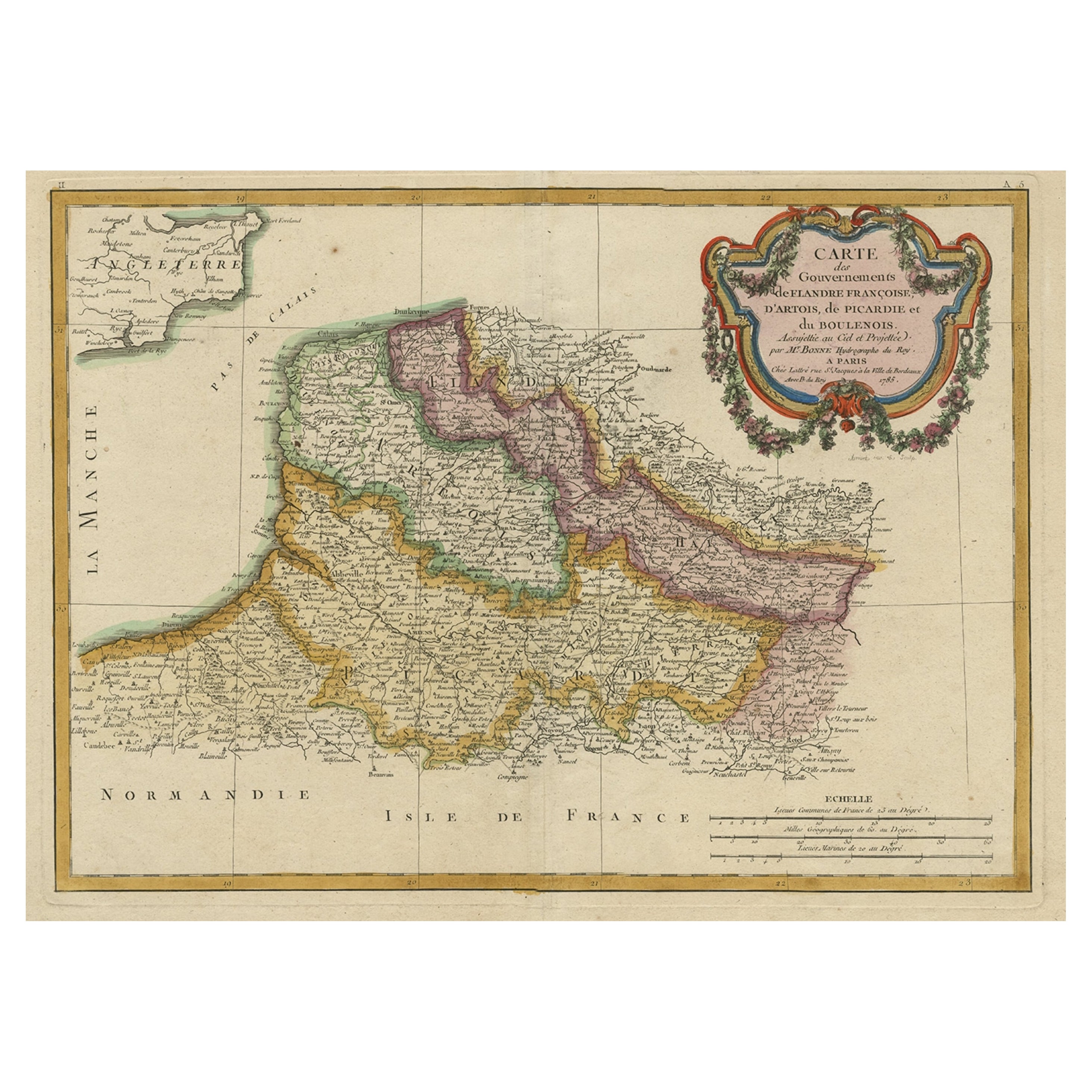
- Decorative Map of the French Regions of Picardy, Artois & French Flanders, c1780Located in Langweer, NLAntique map titled 'Carte des Gouvernements de Flandre Francoise, d'Artois, de Picardie et du Boulenois.' An attractive example of Rigobert Bonne's 1771 decorative map of the Fre...Category
Antique 1780s Maps
MaterialsPaper
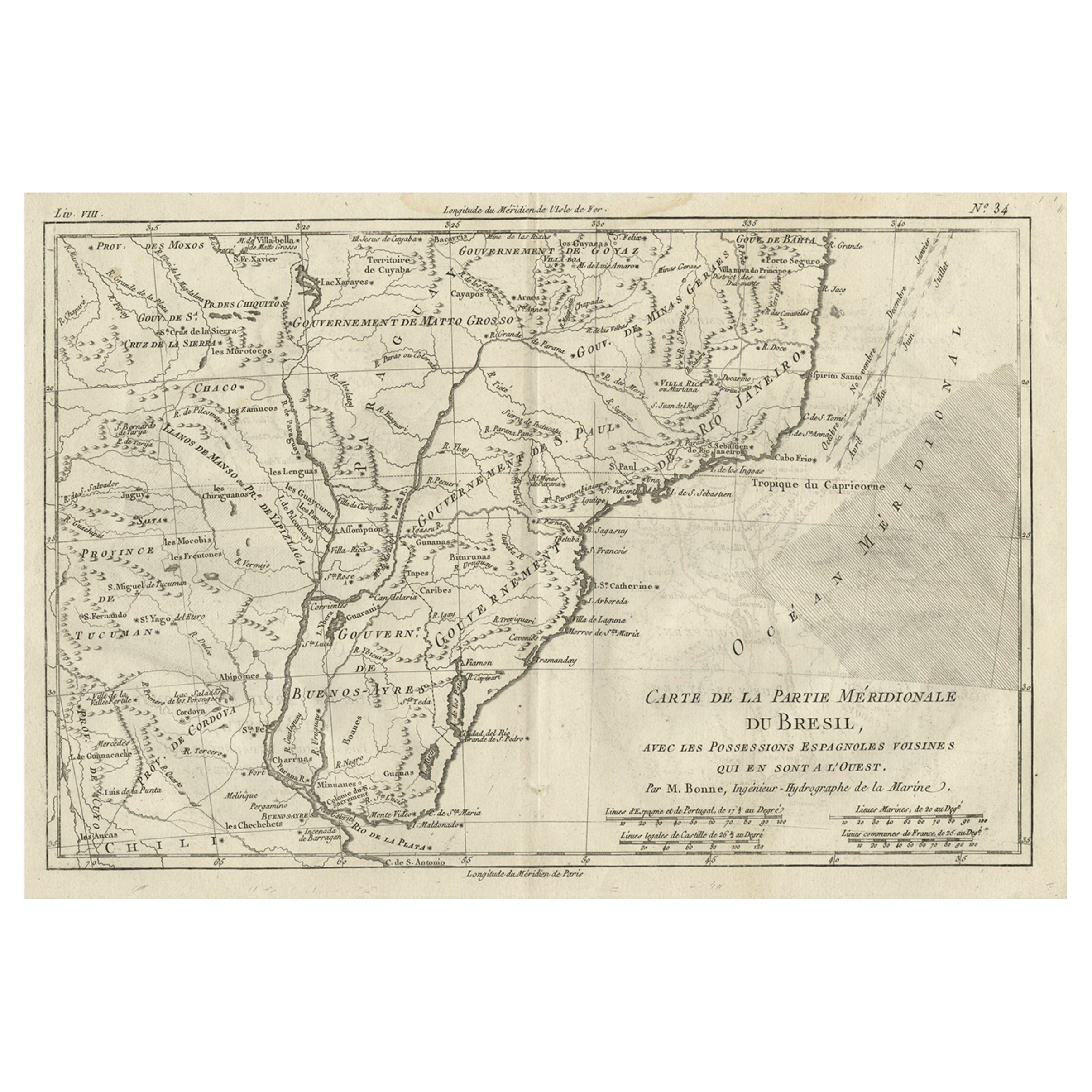
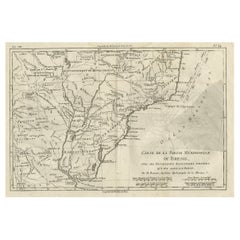
- Antique Map of Brazil of Southern Brazil, Uruguay, and Northern Argentina, c1780Located in Langweer, NLAntique map titled 'Carte de la Partie Méridionale du Bresil (..)'. This antique map of Brazil depicts southern Brazil, Uruguay, and northern Argentina, including Rio de Janeiro, Montevideo, and Buenos Aires. Published by R. Bonne. Artists and engravers: Rigobert Bonne (October 6, 1727 - September 2, 1794) was one of the most important French cartographers of the late 18th century. Bonne was born in Ardennes à Raucourt, France. He taught himself mathematics and by eighteen was a working engineer. During the War of the Austrian Succession...Category
Antique 1780s Maps
MaterialsPaper
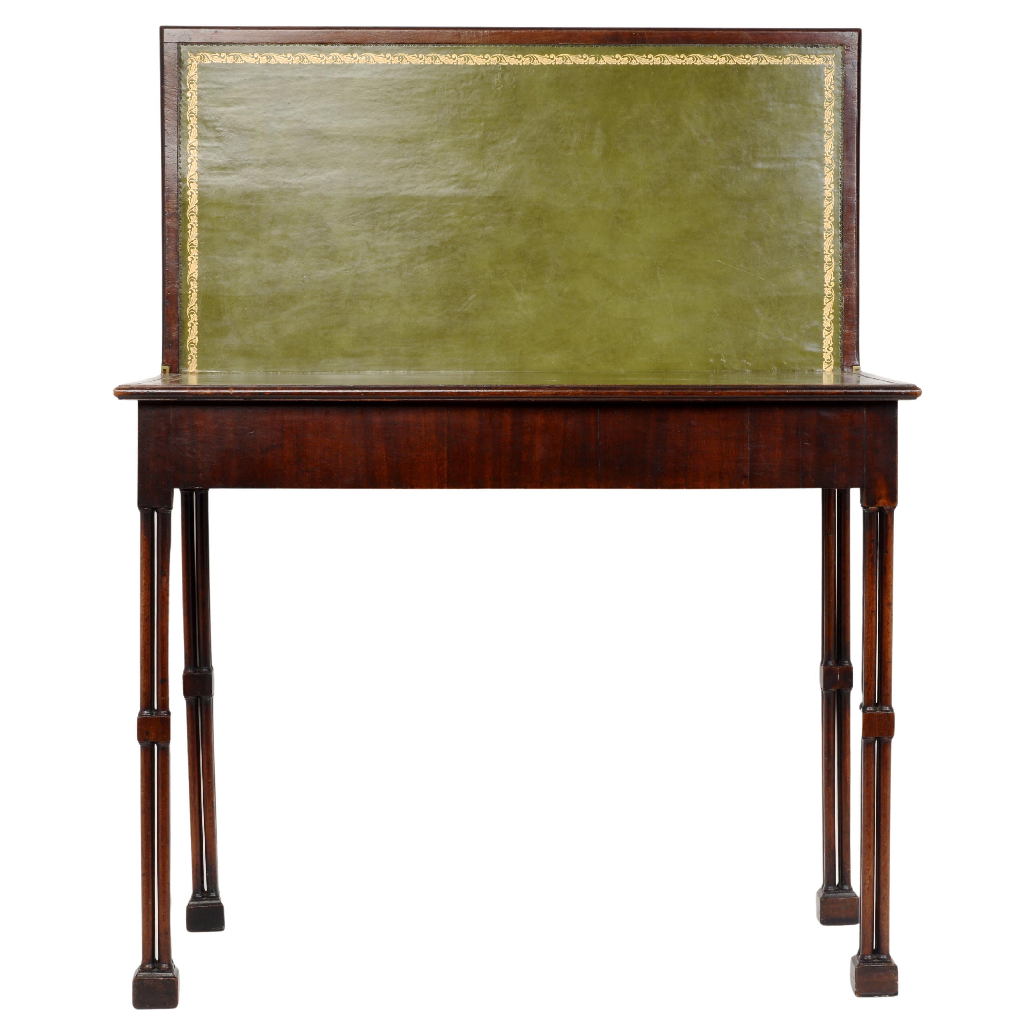
- Geo III Mahogany Fold-Over Card Table with Cluster-Leg & Concertina Action c1780Located in valatie, NYGeo III Mahogany fold-over card table with cluster-leg and concertina action c1780. The hinged Leather lined and gilt tooled top opens and is supported by hinged, concertina-action r...Category
Antique Late 18th Century English George III Card Tables and Tea Tables
MaterialsMahogany
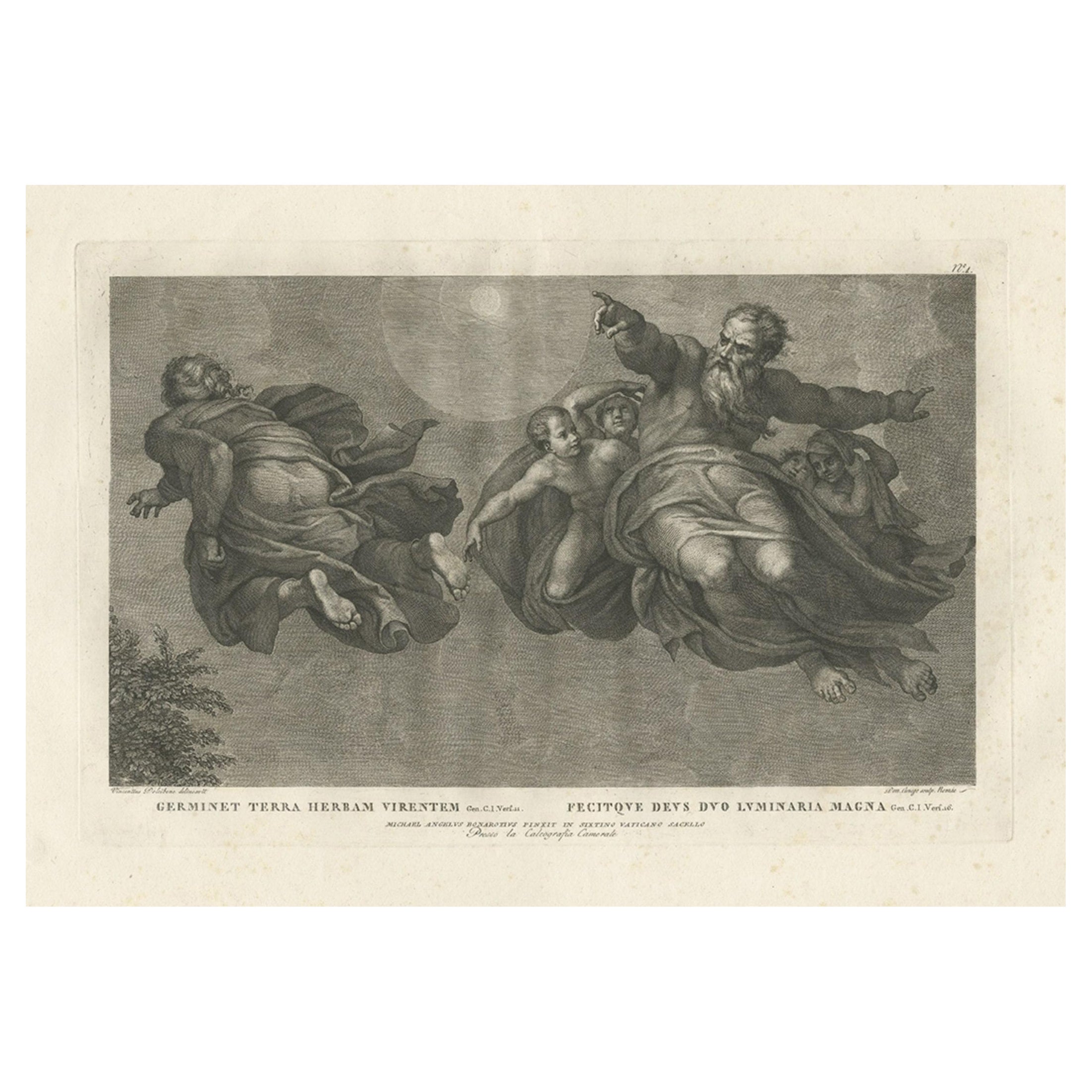
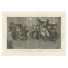
- Print of the Vegetation & Sun & Moon, from Frescoes in the Sistine Chapel, c1780Located in Langweer, NLAntique print religion titled 'Germinet Terra Herbam Virentem (..)'. This print depicts the Vegetation and Sun and Moon. Originates from 'Frescoes in the Sistine Chapel...Category
Antique 1780s Prints
MaterialsPaper
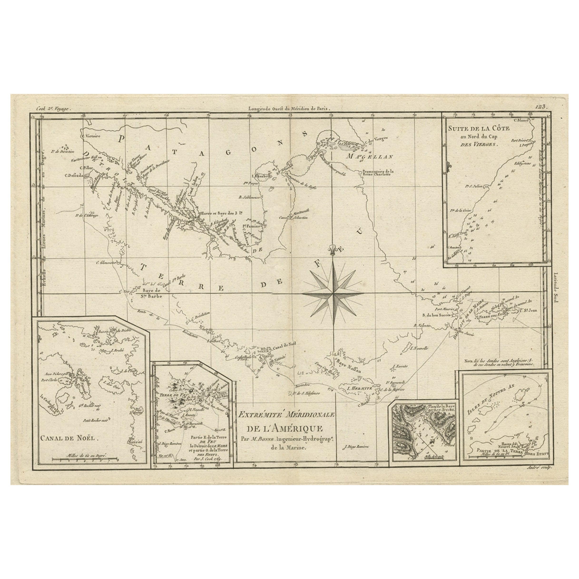
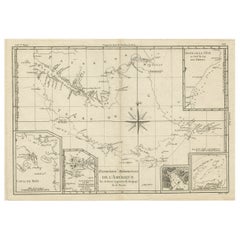
- Copper Engraved Map of Tierra del Fuego and the Strait of Magellan, c1780Located in Langweer, NLAntique map titled 'Extremite Meridionale de l'Amerique.' Copper engraved map of Tierra del Fuego and the Strait of Magellan with five detailed insets of the region showing soundings, anchorages, etc. Engraved by Andre. This map originates from 'Atlas de Toutes les Parties Connues du Globe Terrestre'. Artists and Engravers: Rigobert Bonne (1727-1795 ) was one of the most important cartographers of the late 18th century. In 1773 he succeeded Jacques Bellin as Royal Cartographer to France in the office of the Hydrographer at the Depôt de la Marine. Working in his official capacity Bonne compiled some of the most detailed and accurate maps of the period. Bonne's work represents an important step in the evolution of the cartographic ideology away from the decorative work of the 17th and early 18th century towards a more detail oriented and practical aesthetic. With regard to the rendering of terrain Bonne maps...Category
Antique 1780s Maps
MaterialsPaper
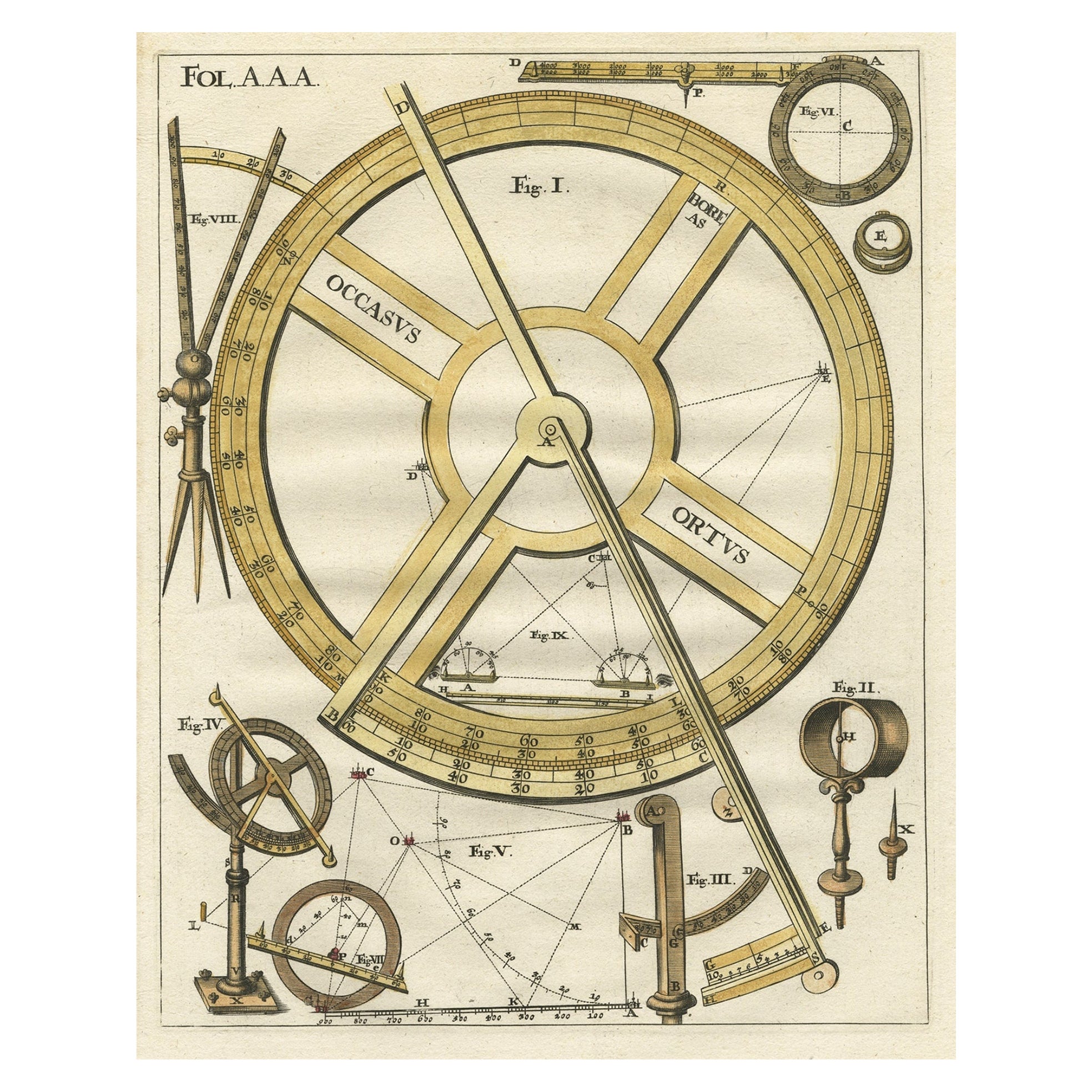
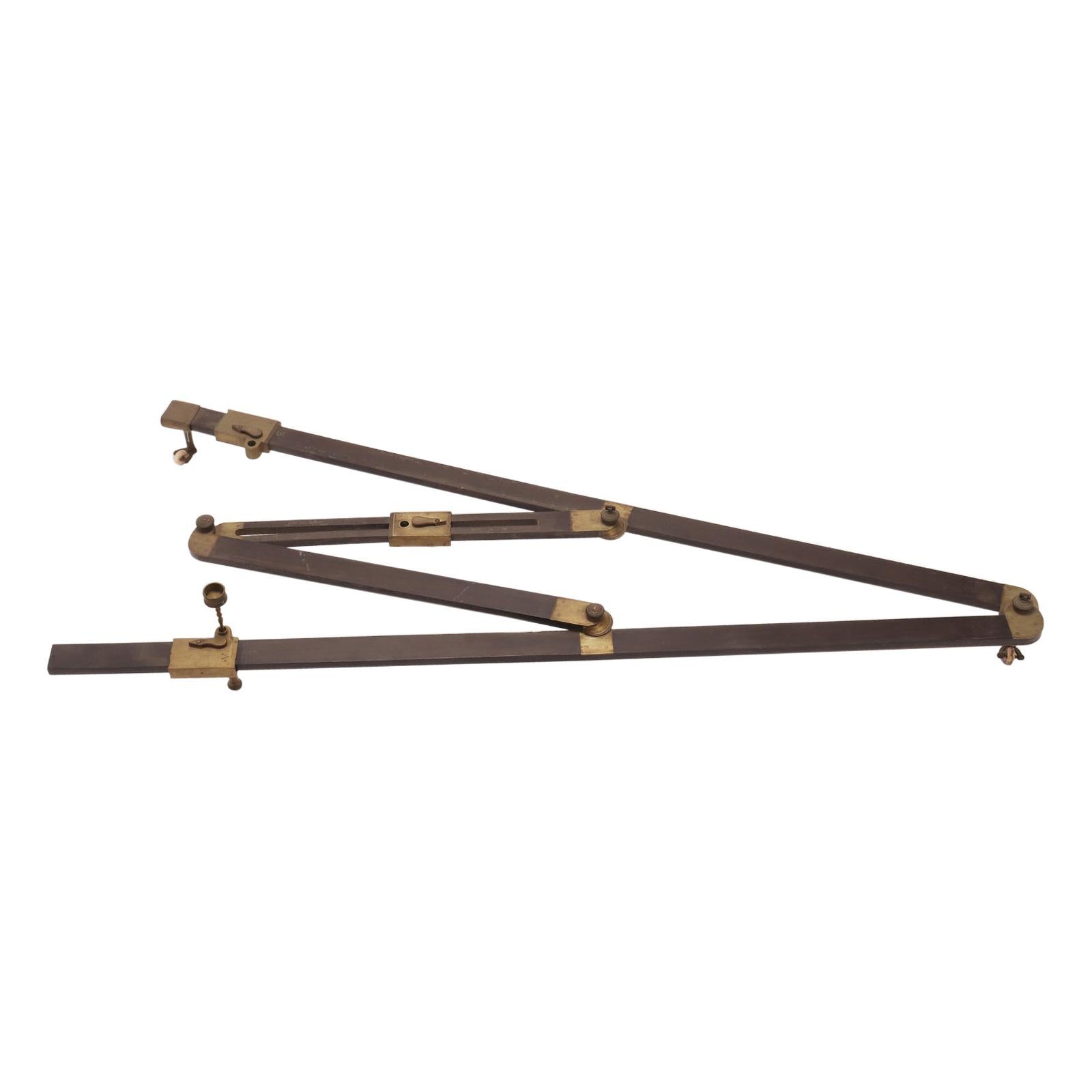
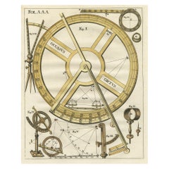
- Engraving of an 18th-Century Measuring Device, Based on Double Reflection, C1780Located in Langweer, NL"Occasus Ortus" This engraving illustrates an 18th-century measuring device. The instrument, built after the principle of the double reflection, allowed precise observations wi...Category
Antique 1780s Prints
MaterialsPaper


Recently Viewed
View AllMore Ways To Browse
Broadwood Piano
John Broadwood Piano
John Broadwood
Antique Damper
Piano Harp
Antique Sieve
Pedal Harp
Stereo Headphones Vintage
Univox Guitars Vintage
Univox Vintage Guitars
Univox Vintage Musical Instruments
Univox Vintage
Used Fender Coronado
Used Hagstrom Guitars
Used Pianos Pianos Claviers
Bird Cage Music Box
Bliss Toy Piano
Braun Hifi Vintage