Items Similar to Boat Blueprint Showing the Sand Piper
Want more images or videos?
Request additional images or videos from the seller
1 of 13
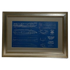
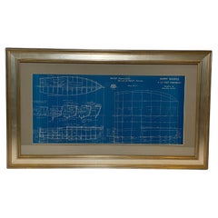
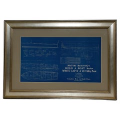
Boat Blueprint Showing the Sand Piper
About the Item
Motor Boating Publishing plan for a thirty foot day cruiser. Designd by William Atkin. The vessel is shown in great detail. Circa 1937 matted and framed.
Weight: 7 lbs.
Overall Dimensions: 19"H x 28"W
Made: America
Material: Paper
Date: 1937
- Dimensions:Height: 19 in (48.26 cm)Width: 28 in (71.12 cm)Depth: 1 in (2.54 cm)
- Materials and Techniques:
- Place of Origin:
- Period:
- Date of Manufacture:1937
- Condition:
- Seller Location:Norwell, MA
- Reference Number:
About the Seller
5.0
Vetted Seller
These experienced sellers undergo a comprehensive evaluation by our team of in-house experts.
Established in 1967
1stDibs seller since 2015
346 sales on 1stDibs
Typical response time: 2 hours
- ShippingRetrieving quote...Ships From: Norwell, MA
- Return PolicyThis item cannot be returned.
More From This SellerView All
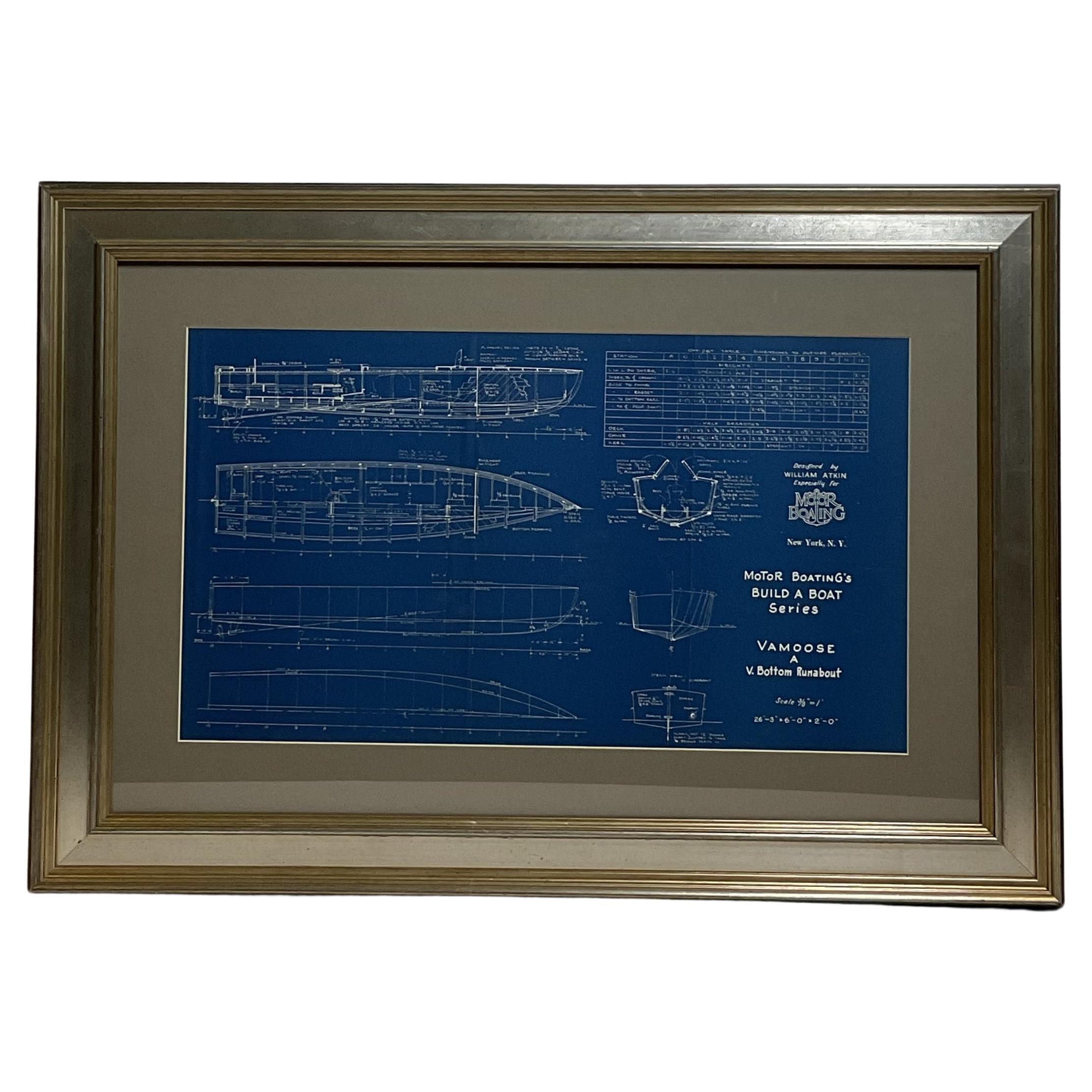
- Boat Blueprint of the Runabout VamooseLocated in Norwell, MA1930's boat plan by Naval Architect William Atkin of the V bottom runabout "Vamoose". The plan is in great detail showing hull lines, profile, deck plan, et...Category
Vintage 1930s North American Nautical Objects
MaterialsPaper
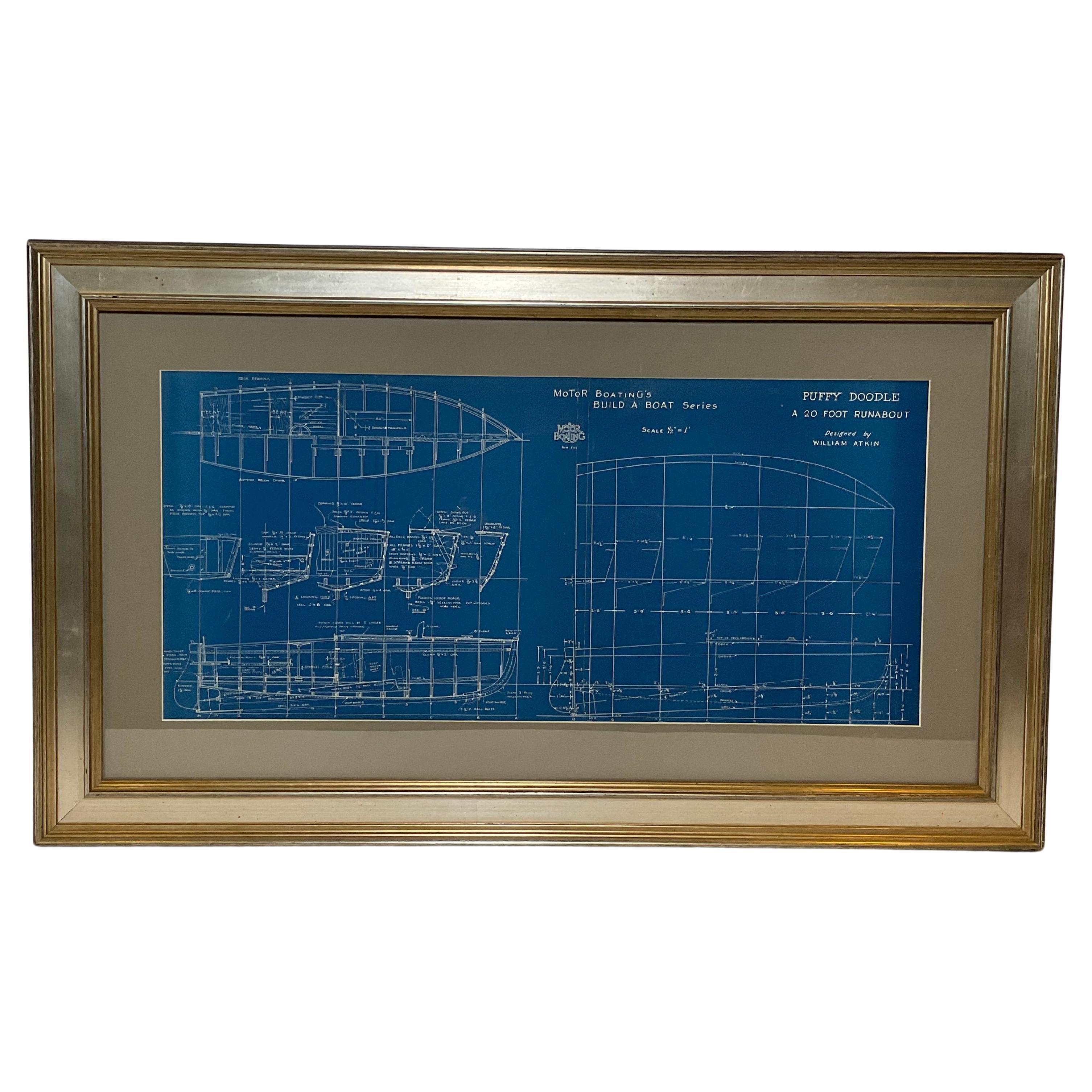
- Boat Blueprint of the Runabout "Puffy Doodle"Located in Norwell, MASpeedboat plan by William Atkin of "Puffy Doodle", A 20 foot runabout designed by William Atkin. The hull lines and offset are shown in great detail. Printed by Motor Boating Publish...Category
Vintage 1930s North American Nautical Objects
MaterialsPaper
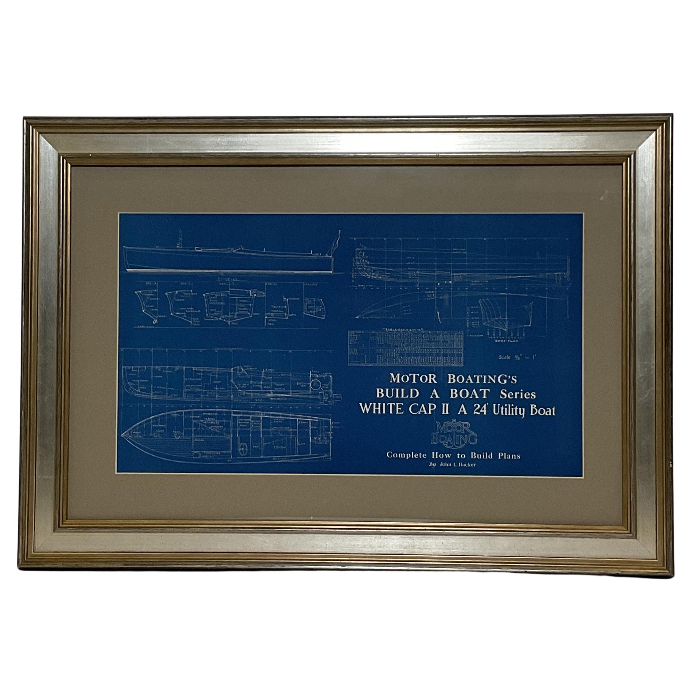
- Boat Blueprint of White Cap IILocated in Norwell, MASleek boat blueprint design by John L. Hacker for a twenty four foot utility boat "White Cap II". The sleek vessel is shown in great detail with hull ...Category
Vintage 1930s North American Nautical Objects
MaterialsPaper
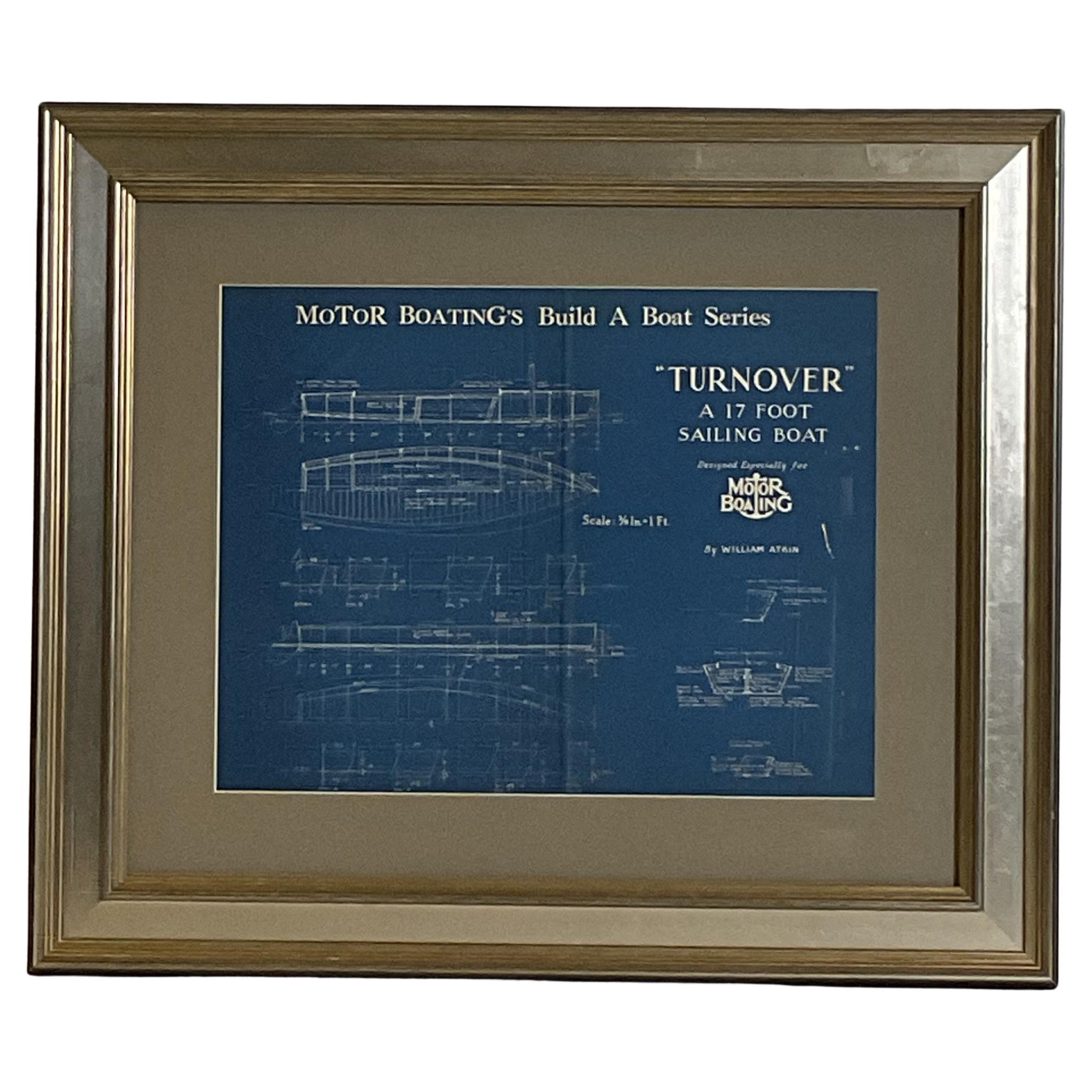
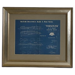
- Sailboat Blueprint of the Sloop TurnoverLocated in Norwell, MAFramed blueprint of the sailboat turnover, designed by William Atkin for Motor Boating Publishing. Showing hull lines, deck, and profile. Circa 1937....Category
Vintage 1930s North American Nautical Objects
MaterialsPaper
- Fishing Trawler BlueprintLocated in Norwell, MAShips blueprint for a 127 foot Booth Fisheries fishing trawler the legend plate reads Gielow Incorporated, Naval Architects and Engineers, New York. Mar...Category
Vintage 1940s North American Nautical Objects
MaterialsPaper
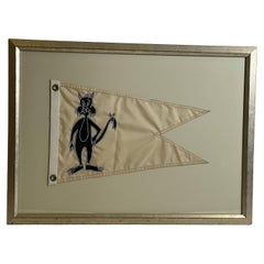
- Sylvester the Boat FlagLocated in Norwell, MANautical burgee flag showing Sylvester the cat. Swallowtail flag with a strong hoist and brass grommets. Custom frame. Weight: 9 lbs. Overall Dimensions:...Category
Vintage 1950s North American Nautical Objects
MaterialsLinen

You May Also Like
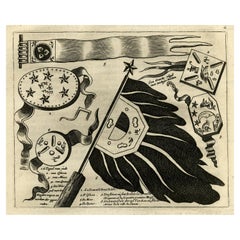
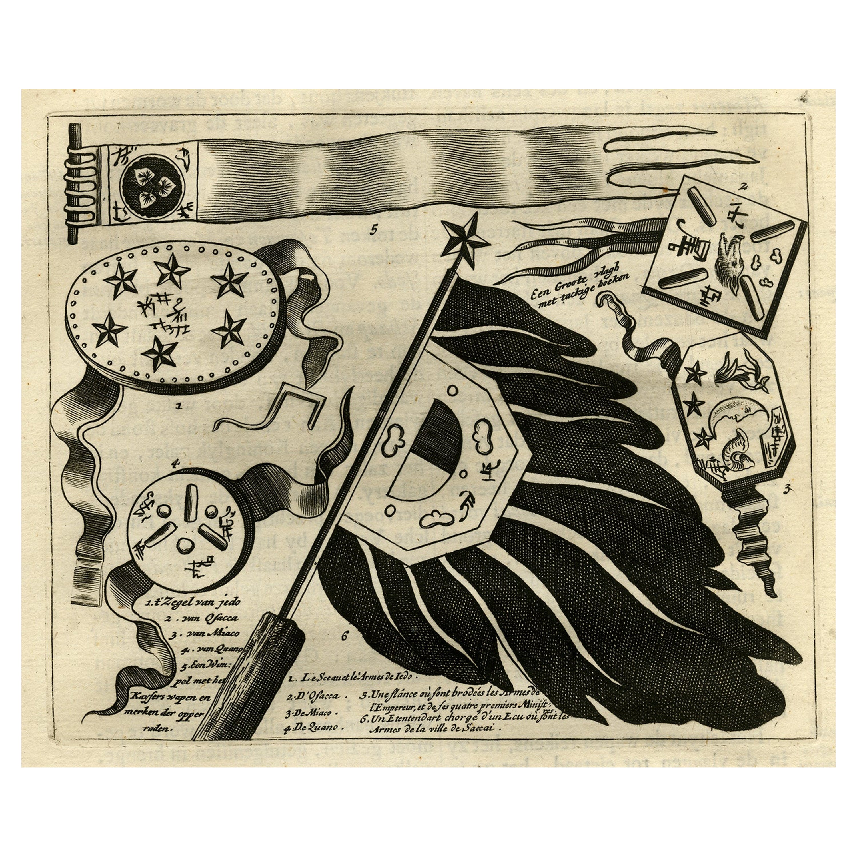
- Antique Print Showing the Arms of the Japanese Emperor, 1669Located in Langweer, NLDescription: Antique print, titled: 'Japansche wapenen van den Kaisar.' - ('The Arms of the Japanese Emperor'). The image shows several official I...Category
Antique 1660s Prints
MaterialsPaper
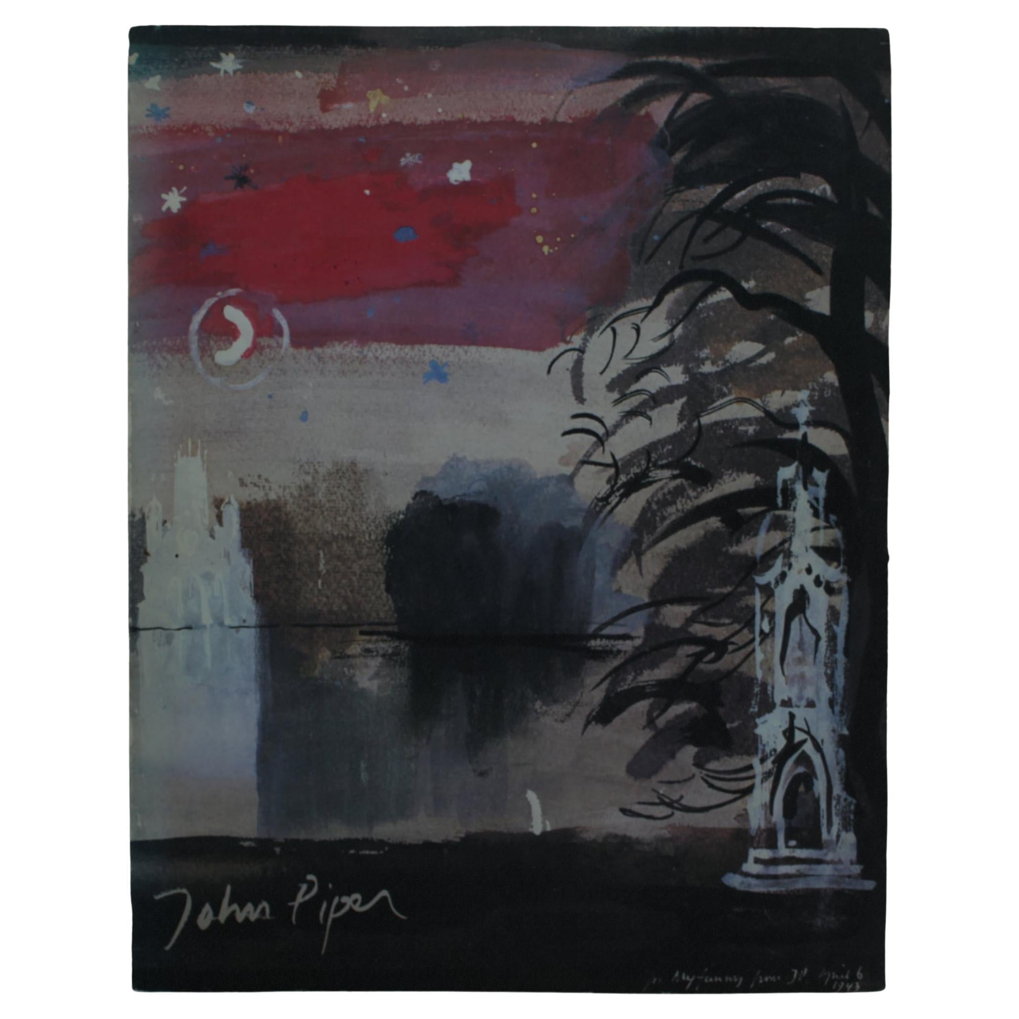
- John Piper, The Tate Gallery, Paperback, 1983, Art BookBy John PiperLocated in Brugge, BEJohn Piper Published by The Tate Gallery in 1983 This John Piper Art Book offers a glimpse into his creative brilliance and ever-evolving artistic expression. From vibrant landscape...Category
20th Century English Modern Books
MaterialsPaper
- Antique Map Showing the Religions Around the World by Johnston '1854'Located in Langweer, NLAntique map titled 'Moral & Statistical Chart showing the Geographical Distribution of Man According to Religious Belief'. Rare large-size thematic map on the distribution of religio...Category
Antique Mid-19th Century Maps
MaterialsPaper
- Interesting Original Antique Hemisphere Map Showing the Latest DiscoveriesLocated in Langweer, NLAntique world map titled 'A Map of the World from the best Authorities'. Detailed map of the World, showing tracks of Captain James Cook in his 3 voyages in great detail. The map is ...Category
Antique Late 18th Century Maps
MaterialsPaper
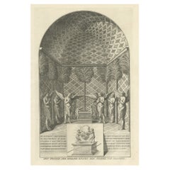
- Solomon's Temple, the Holy of Holies, Showing the Ark of the Covenant, c.1780Located in Langweer, NLAntique religion print titled 'Het Heilige der Heilige binnen den Tempel van Salomon'. This print depicts Solomon's Temple, the Holy of Holies, showing the Ark of the Covenant...Category
Antique 1780s Prints
MaterialsPaper
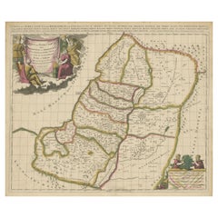
- Antique Map of the Holy Land, Showing the Location of the Various TribesLocated in Langweer, NLAntique map titled 'Judaea seu Terra Sancta quae Hebraeorum sive Israelitarum (..)'. Map of The Holy Land, showing the location of the various tribes, in two kingdoms, Judah and Isra...Category
Antique Early 18th Century Maps
MaterialsPaper