Items Similar to Rare Town Plan of Jerusalem, Includes an Extensive Key to Locations etc, 1708

Want more images or videos?
Request additional images or videos from the seller
1 of 5
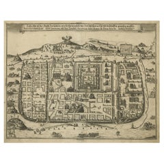
Rare Town Plan of Jerusalem, Includes an Extensive Key to Locations etc, 1708
About the Item
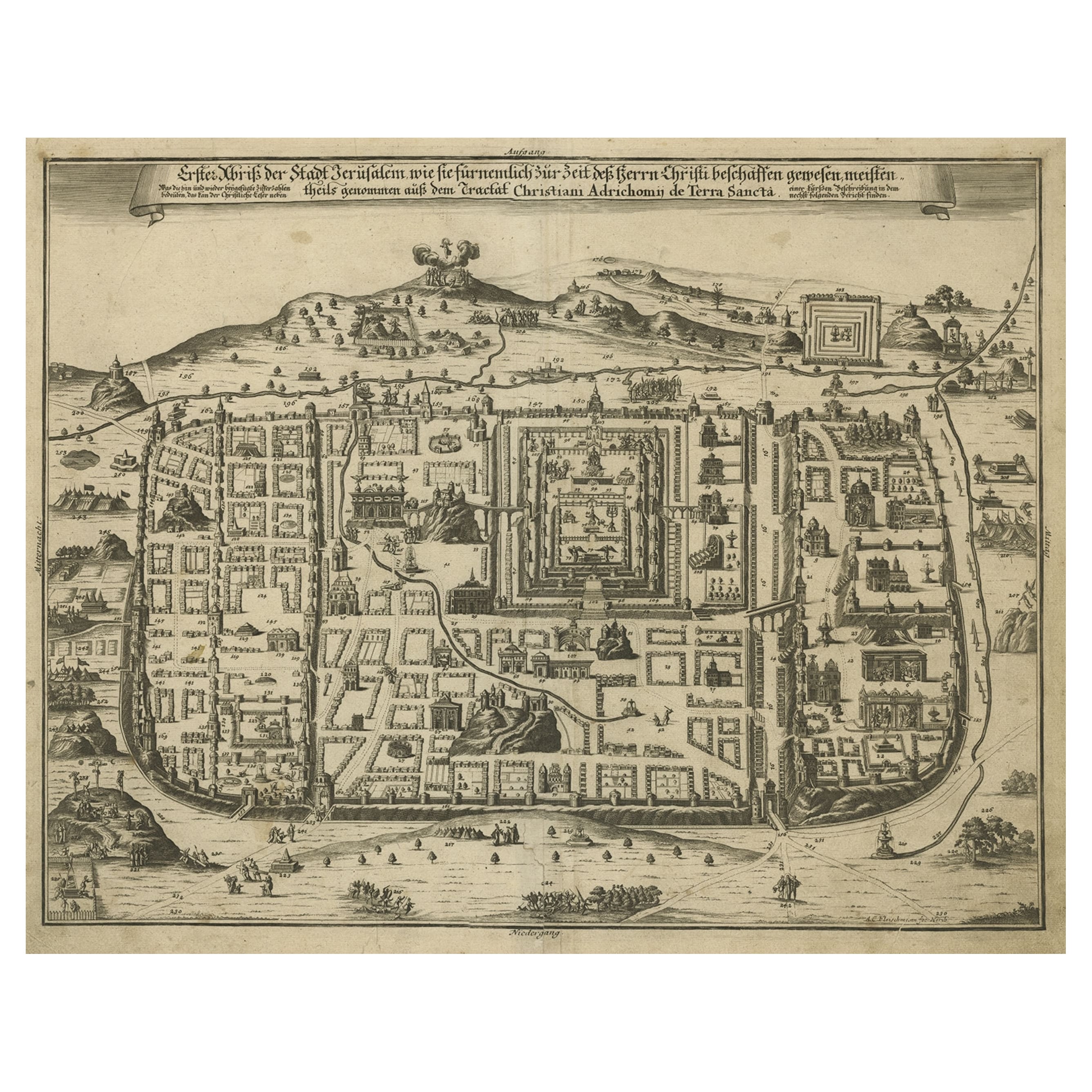
Antique map titled 'Eigentliche Vorstellung der Statt Jerusalem und derselben umliegenden Gegenden zu Salomonis auch zu und kurtz nach Christi Zeiten.'
Rare town plan of Jerusalem. Includes an extensive key to locations etc. This map originates from 'Biblia : das ist die gantze Heilige Schrift, Altes und Neues Testaments / verteutscht von Doctor Martin Luther: und auf gnädigste Verordnung des durchleuchtigsten Fürsten und Herrn/ Herrn Ernsts/ Hertzogen zu Sachsen (..)' published by Johann Andrea Endters Seel, Sohn und Erben 1708. The first edition appeared in 1641.
Artists and Engravers: Anonymous.
Condition: Good, given age. Soiling in the margins. Light vertical crease right of middle fold. Original middle fold as issued. General age-related toning and/or occasional minor defects from handling. Please study image carefully.
- Dimensions:Height: 16.34 in (41.5 cm)Width: 19.49 in (49.5 cm)Depth: 0 in (0.02 mm)
- Materials and Techniques:
- Period:1700-1709
- Date of Manufacture:1708
- Condition:Wear consistent with age and use.
- Seller Location:Langweer, NL
- Reference Number:
About the Seller
5.0
Platinum Seller
These expertly vetted sellers are 1stDibs' most experienced sellers and are rated highest by our customers.
Established in 2009
1stDibs seller since 2017
1,940 sales on 1stDibs
Typical response time: <1 hour
- ShippingRetrieving quote...Ships From: Langweer, Netherlands
- Return PolicyA return for this item may be initiated within 14 days of delivery.
More From This SellerView All
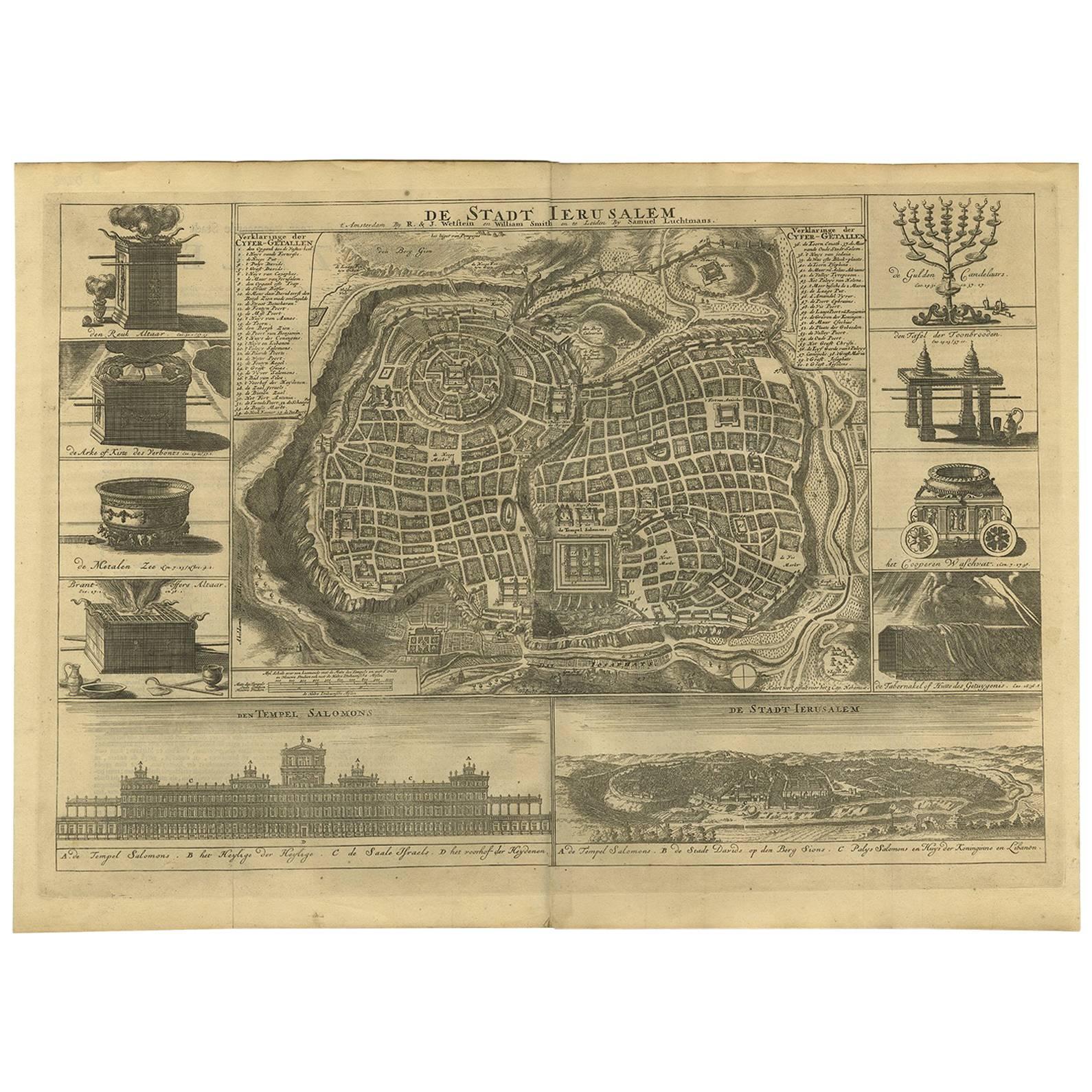
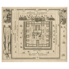
- Spectacular Antique Original Engraving of a Town Plan of Jerusalem, 1708Located in Langweer, NLDescription: Antique map titled 'Erster Abriss der Stadt Jerusalem wie sie Furnemblich zur Zeit des Hernn Christi beschaffen (..).' Spectacular town plan...Category
Antique Early 1700s Maps
MaterialsPaper
- Antique Bible Plan of Ancient Jerusalem, 1743Located in Langweer, NLThis plan originates from ‘Biblia Sacra, dat is, de H. Schriftuer van het Oude, en het Nieuwe Testament, naer de laetste Roomsche keure der gemeine Latijnsche overzettinge, in nederd...Category
Antique Mid-18th Century Maps
MaterialsPaper
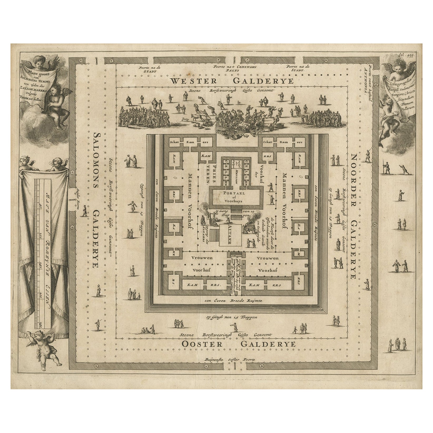
- Bird's-Eye Plan of Solomon's Temple to the West, Jerusalem in Israel, 1677Located in Langweer, NLAntique print religion titled 'Platte gront van Salomons Tempel ten tijden des Zalighmakers volgens Thomas Fuller'. Bird's-eye plan of Solomon's Temple, oriented to the west (Jer...Category
Antique 1670s Prints
MaterialsPaper
- Antique Bible Plan of Jerusalem by Covens & Mortier, 1743Located in Langweer, NLThis plan originates from ‘Biblia Sacra, dat is, de H. Schriftuer van het Oude, en het Nieuwe Testament, naer de laetste Roomsche keure der gemeine Latijnsche overzettinge, in nederd...Category
Antique Mid-18th Century Maps
MaterialsPaper
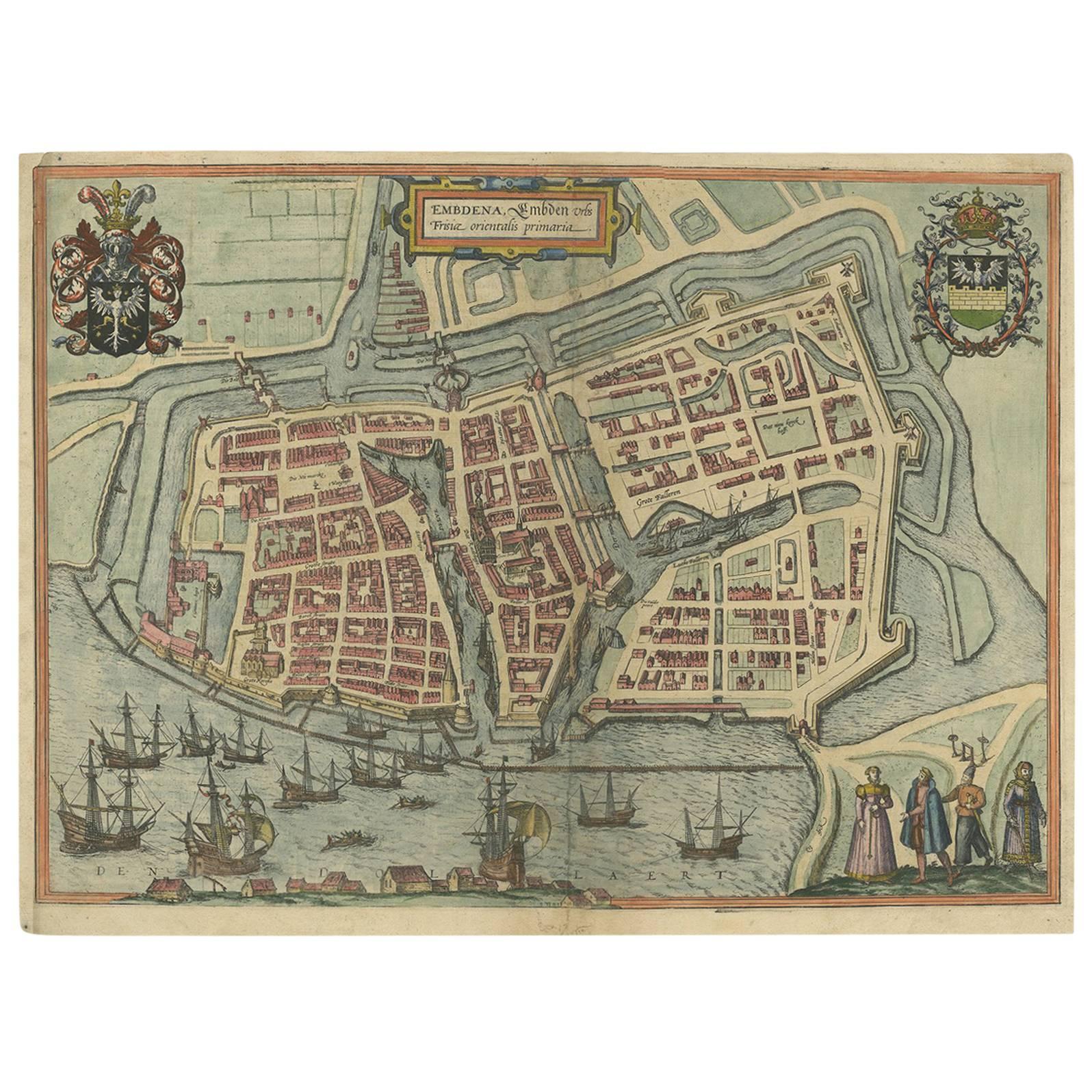
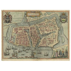
- Antique Town Plan of Emden ‘Germany’ by Braun & Hogenberg, 1597Located in Langweer, NLAntique map titled 'Embdena (..)'. Old, antique bird's-eye view plan of Emden, Germany. This bird's-eye view from the southwest over the Dollart shows Emden, which developed from a trading settlement in the 7th/8th centuries into a city as late as late 14th century. In 1494 it was granted staple rights, and in 1536 the harbour was extended. In the mid-16th century Emden's port was thought to have the most ships in Europe. Its population then was about 5,000, rising to 15,000 by the end of the 16th century. The Ems flowed directly under the city walls, but its course was changed in the 17th century by the construction of a canal. Emden has canals within its city limits, a typical feature of Dutch towns, which also enabled the extension of the harbour. Emden's first herring company was founded in 1553, and in 1595 Emden was created a Free Imperial City under the protection of Holland. Published by Braun...Category
Antique 16th Century Maps
MaterialsPaper
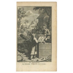
- Antique Frontispiece by Tirion, Showing a Map of Africa, an Elephant Etc, 1731Located in Langweer, NLAntique frontispiece of the 3rd volume of 'Hedendaagsche historie of tegenwoordige staat van allen volkeren (..)' by Thomas Salmon. This volume describes Peg...Category
Antique 18th Century Prints
MaterialsPaper


You May Also Like
- Catalogue of Engraved Views, Plans, Etc., Of New York City, 1st EdLocated in valatie, NYA catalogue of engraved views, plans, etc., Of New York City, (The Collection of Percy R. Pyne II). Privately Printed by The De Vinne Press, New York, 1912. Limited to 100 copies. Gr...Category
Early 20th Century American Books
MaterialsPaper
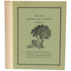
- More Massachusetts Towns, Illustrated with Wood Engravings of 53 Mass. TownsLocated in valatie, NYMore Massachusetts Towns, illustrated with wood engravings of fifty-three Massachusetts Towns, drawn in 1840 by J. W. Barber. Commentary by Ivan Sandrof, and a special foreword by Mr...Category
Vintage 1960s American Books
MaterialsPaper
- Original Antique Map / City Plan of Brussels by Tallis, circa 1850Located in St Annes, LancashireGreat map of Brussels. Steel engraving. Published by London Printing & Publishing Co. (Formerly Tallis), C.1850 Free shipping.Category
Antique 1850s English Maps
MaterialsPaper
- Prussia, Poland, N. Germany, Etc: A Hand-colored 17th Century Map by JanssoniusBy Johannes JanssoniusLocated in Alamo, CAThis is an attractive hand-colored copperplate engraved 17th century map of Prussia entitled "Prussia Accurate Descripta a Gasparo Henneberg Erlichensi", published in Amsterdam by Joannes Janssonius in 1664. This very detailed map from the golden age of Dutch cartography includes present-day Poland, Latvia, Lithuania, Estonia and portions of Germany. This highly detailed map is embellished by three ornate pink, red, mint green and gold...Category
Antique Mid-17th Century Dutch Maps
MaterialsPaper
- Dutch Map and City Plan of La Roche-sur-Foron, France, 17th Century Hand ColoredBy Coenraet DeckerLocated in Alamo, CA"Rupes Allobrogum vulgo La Roche" by Dutch engraver Coenraet Decker (1650-1685) is from the atlas Theatrum Statuum Regiae Celestudinis Sabaudiae Ducis, published in 1682. This richly...Category
Antique Late 17th Century Dutch Maps
MaterialsPaper
- John Alden Blueprint No. 583 of an Auxiliary Cruising YawlLocated in Norwell, MAExceptional and stunning original yacht blueprint from John G Alden of Boston. The legend panel reads “Auxiliary Cruising Yawl” cabin plan. March 21, 1934. C.A. Alberg John G. Alden ...Category
Vintage 1930s Nautical Objects
MaterialsPaper


Recently Viewed
View AllMore Ways To Browse
Rare Items
Item Location
Rare Antique Items
Jerusalem Furniture
Antique Jerusalem
Antique Map Of Jerusalem
Map Of Jerusalem
Map Of Jerusalem Antique
Spanish Colonial Hand Carved
Antique Church Cross
Wooden Hands Religious
Relic Antique
Antique Relic
Antique French Gothic Revival
Gothic Wooden
Baby Jesus
Christ Bronze
Antique Oak Art Collectibles