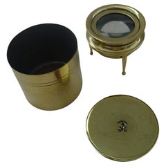
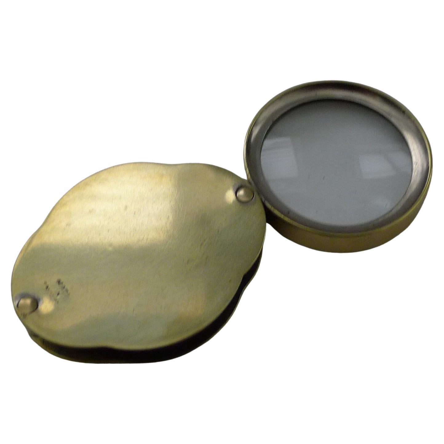
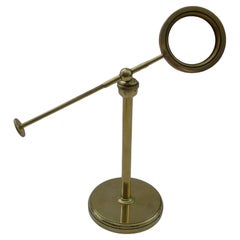
Cased Map or Chart Magnifying Glass by J P Cutts c.1870
View Similar Items


Want more images or videos?
Request additional images or videos from the seller
1 of 10
Cased Map or Chart Magnifying Glass by J P Cutts c.1870
About the Item
- Dimensions:Height: 2 in (5.08 cm)Diameter: 1.88 in (4.78 cm)
- Style:Late Victorian (Of the Period)
- Materials and Techniques:
- Place of Origin:
- Period:
- Date of Manufacture:c.1870
- Condition:Wear consistent with age and use.
- Seller Location:Bath, GB
- Reference Number:Seller: 444111stDibs: LU3365339011912
About the Seller
5.0
Platinum Seller
These expertly vetted sellers are 1stDibs' most experienced sellers and are rated highest by our customers.
Established in 1980
1stDibs seller since 2018
412 sales on 1stDibs
Typical response time: 1 hour
More From This SellerView All
- Rare Antique English Mammoth Map or Library Magnifying Glass, circa 1930Located in Bath, GBWow, you need to hands to lift this mammoth magnifying glass, a great look for the library and a real talking point. The handle is made from cast brass and the frame for the glass...Category
Vintage 1930s English Art Deco Scientific Instruments
MaterialsMetal
- Antique English Brass Cased Folding Magnifying Glass c.1920Located in Bath, GBA lovely shaped little folding / pocket magnifying glass which folds into a shaped brass case, marked "Made In England". Dating to c.1920, remaining in excellent condition measuring...Category
Vintage 1920s British Scientific Instruments
MaterialsBrass

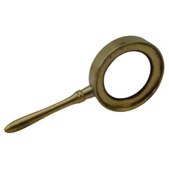
- Small Antique English Brass Magnifying Glass c.1910Located in Bath, GBA lovely little magnifying glass made from solid brass with a handle; the perfect size to pop in the pocket or bag. Dating to c.1910, Edwardian in era, the magnifier works well and ...Category
Vintage 1910s British Edwardian Scientific Instruments
MaterialsBrass
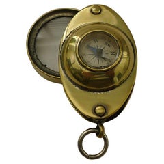
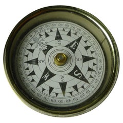
- Antique English Pocket Magnifying Glass / Loop With Compass c.1920Located in Bath, GBA charming little folding loop or magnifying glass made from brass, dating to the early twentieth century, c.1920. What of course makes it highly collectable is the inset working co...Category
Vintage 1920s British Scientific Instruments
MaterialsBrass
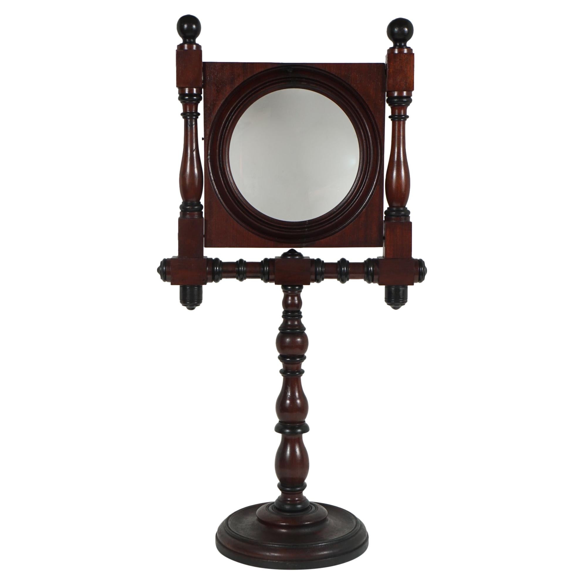
- English Edwardian Brass Pivoting Magnifying Glass on Stand c.1900Located in Bath, GBA handsome antique English magnifying glass on stand which pivots on a ball and socket fitting, moving around with ease. Dating to c.1900, it remains in excellent condition having b...Category
Antique Early 1900s British Edwardian Scientific Instruments
MaterialsBrass
- Antique English Brass Cased Floating Card Explorers Pocket Compass c.1890Located in Bath, GBA very attractive Victorian explorers compass dating to around 1890. The floating card dial pivots on a bearing and is housed under a glass crystal which is clean and free from any ...Category
Antique 1890s British Late Victorian Scientific Instruments
MaterialsBrass
You May Also Like
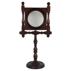
- American Victorian Walnut Cased Standing Magnifying GlassLocated in Hudson, NYThis large American Victorian standing magnifying glass is encased in a carved and turned walnut frame and is adjustable to height with a wooden screw set device. Made circa 1880 the...Category
Antique Late 19th Century American Victorian Scientific Instruments
MaterialsGlass, Walnut
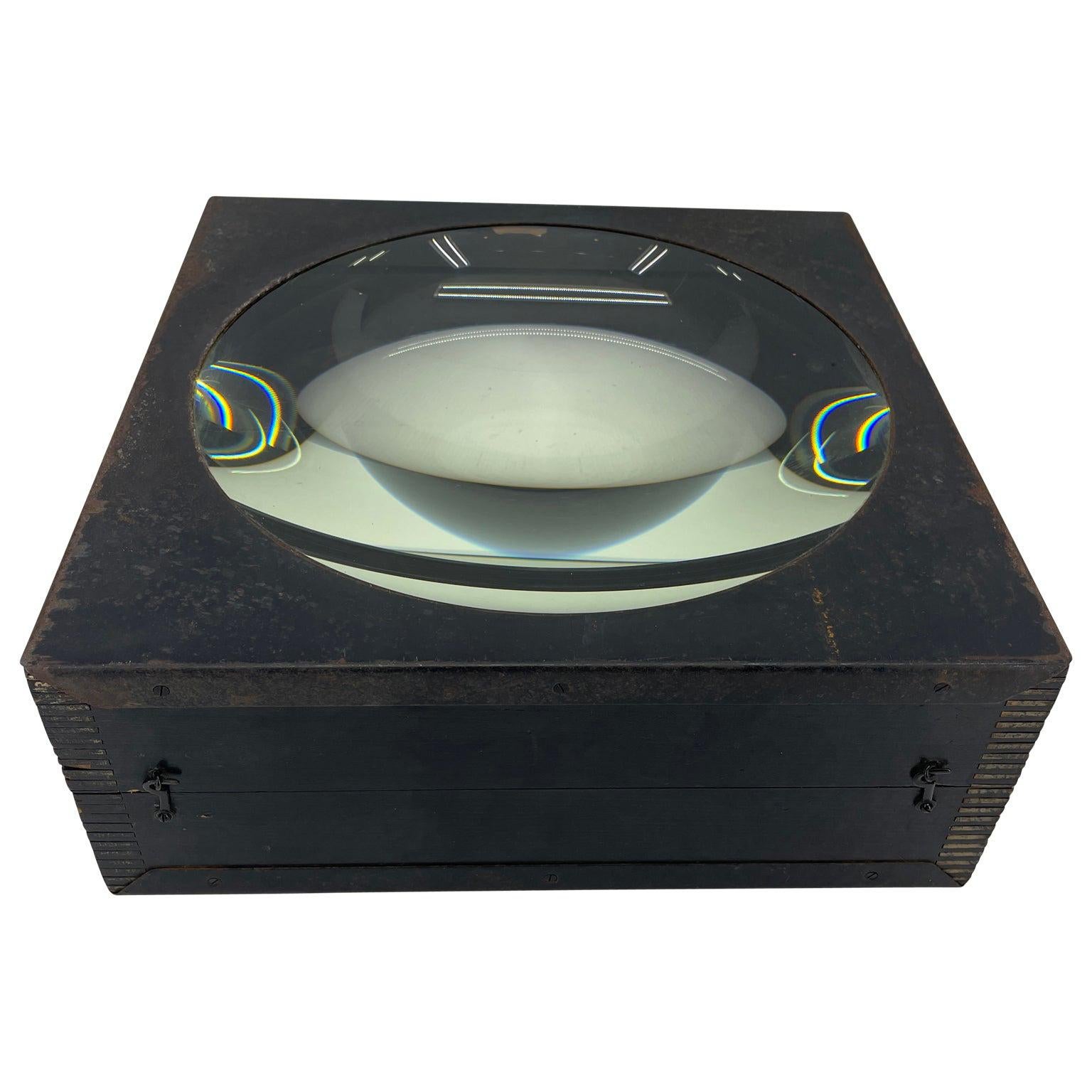
- Large European 1930's Nautical Map Reader Magnifying GlassLocated in Haddonfield, NJThis European set of two nautical magnifying glass map-readers are quite unusual and rarely found. It is fully encased in it's heavy wooden and metal enforced box. Hailing from betwe...Category
Vintage 1930s German Industrial Nautical Objects
MaterialsMetal
 $6,000 Sale Price36% Off
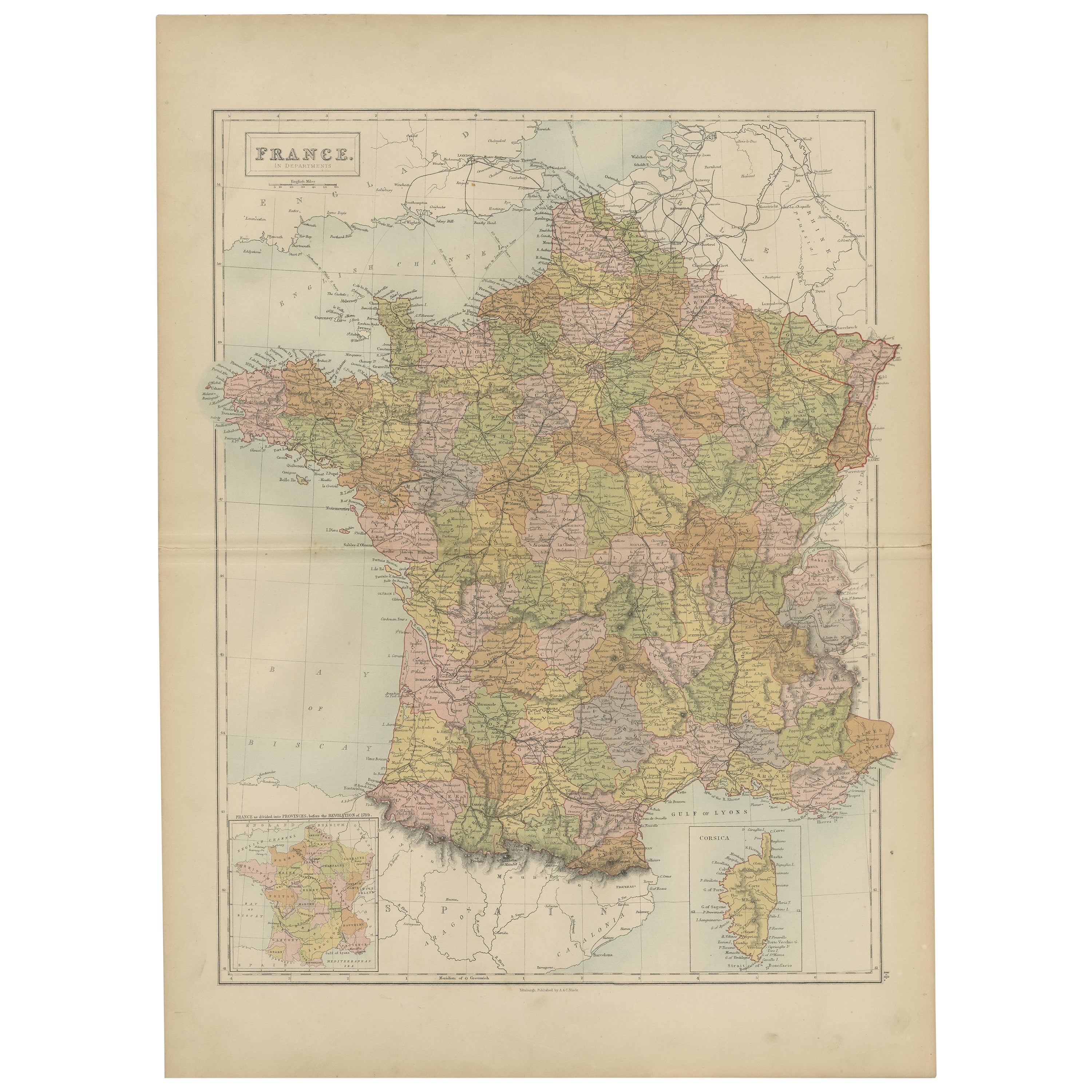
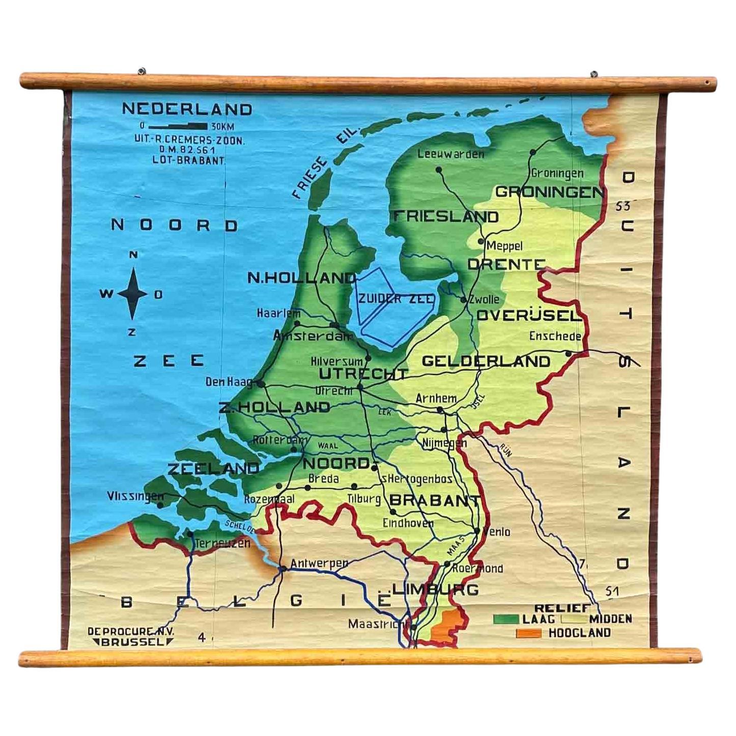
 - Antique Map of Switzerland by A & C. Black, 1870Located in Langweer, NLAntique map titled 'Switzerland'. Original antique map of Switzerland. This map originates from ‘Black's General Atlas of The World’. Published by A & C. Black, 1870.Category
Antique Late 19th Century Maps
MaterialsPaper
- Antique Map of China by A & C, Black, 1870Located in Langweer, NLAntique map titled 'China'. Original antique map of China. This map originates from ‘Black's General Atlas of The World’. Published by A & C. Black, 1870.Category
Antique Late 19th Century Maps
MaterialsPaper
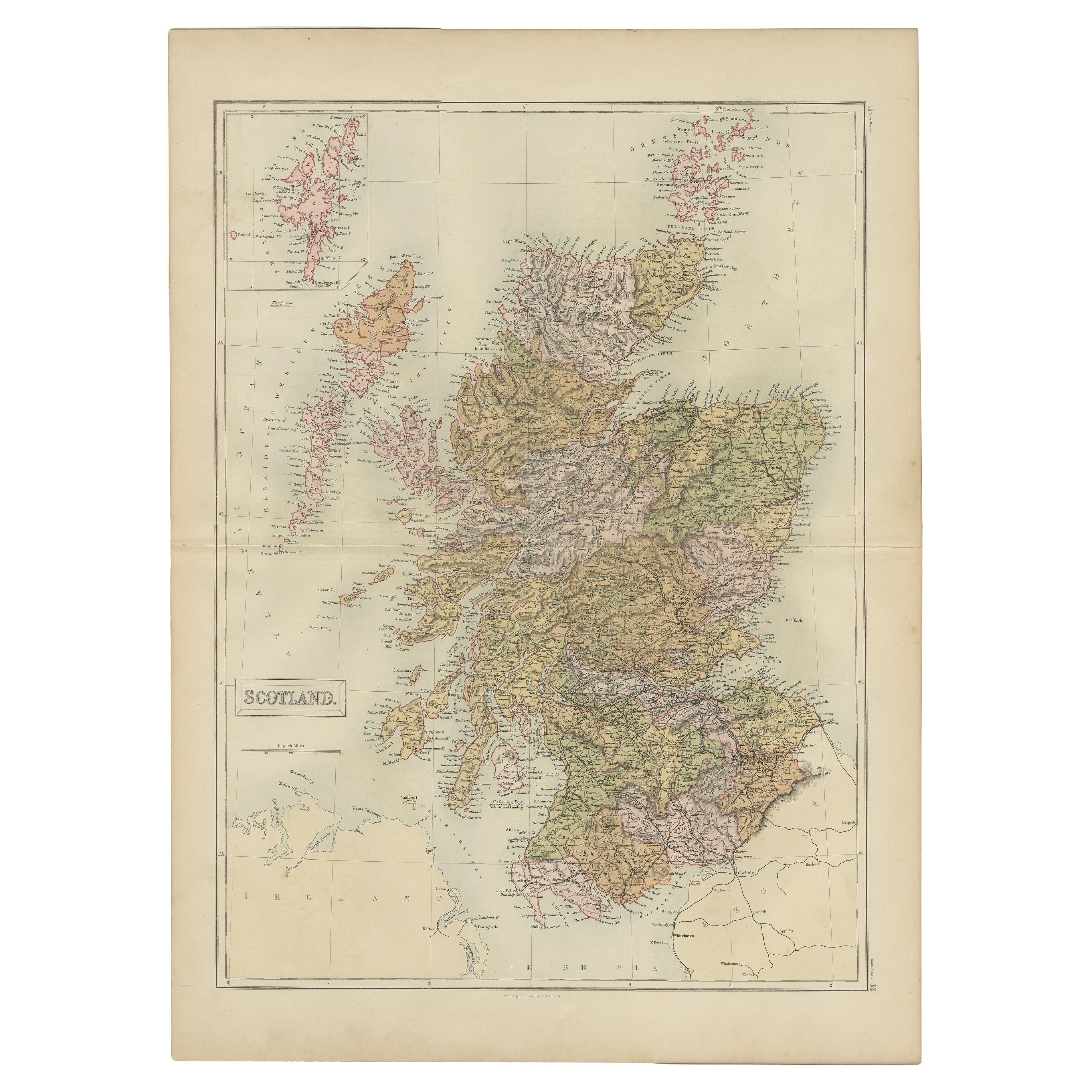
- Antique Map of Scotland by A & C. Black, 1870Located in Langweer, NLAntique map titled 'Scotland'. Original antique map of Scotland with inset map of Shetland island. This map originates from ‘Black's General Atlas of The World’. Published by A & C. ...Category
Antique Late 19th Century Maps
MaterialsPaper
 $210 Sale Price29% Off
 - Antique Map of Asia by A & C, Black, 1870Located in Langweer, NLAntique map titled 'Asia'. Original antique map of Asia. This map originates from ‘Black's General Atlas of The World’. Published by A & C. Black, 1870.Category
Antique Late 19th Century Maps
MaterialsPaper