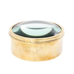
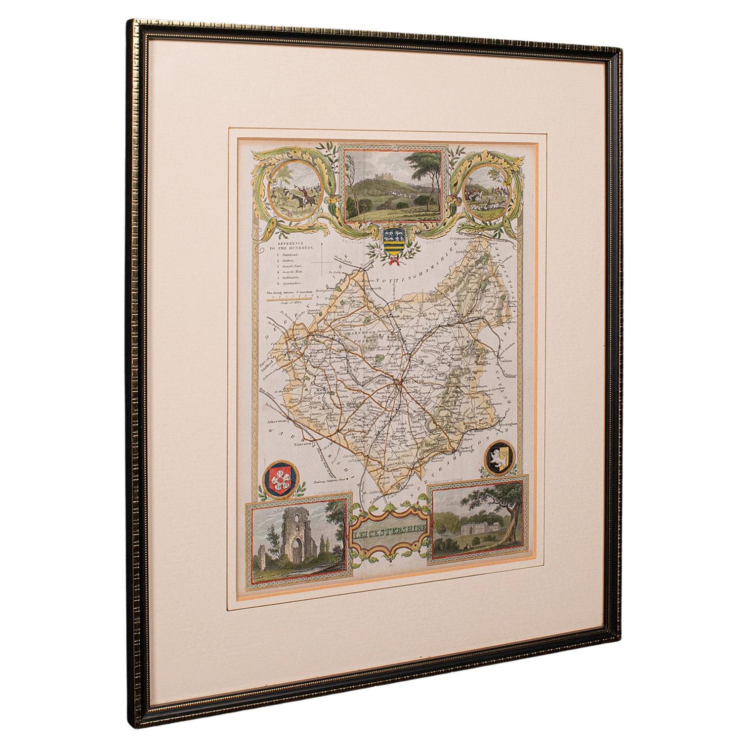
English Map Lens
View Similar Items


1 of 5
English Map Lens
About the Item
- Dimensions:Height: 2 in (5.08 cm)Diameter: 6 in (15.24 cm)
- Materials and Techniques:
- Period:
- Date of Manufacture:1890-1920
- Condition:Wear consistent with age and use.
- Seller Location:Stamford, CT
- Reference Number:Seller: HADLEY ANTIQUES1stDibs: LU862310136783
You May Also Like
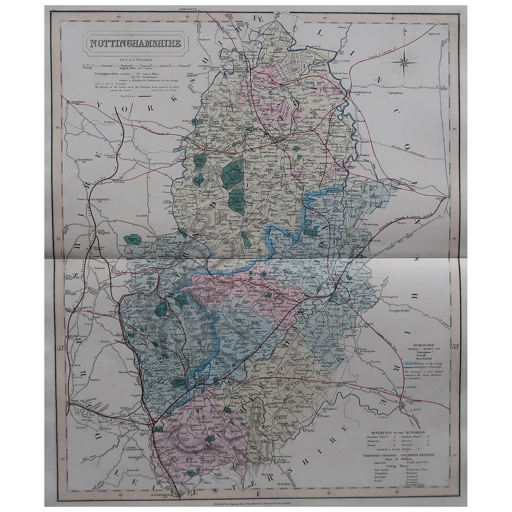
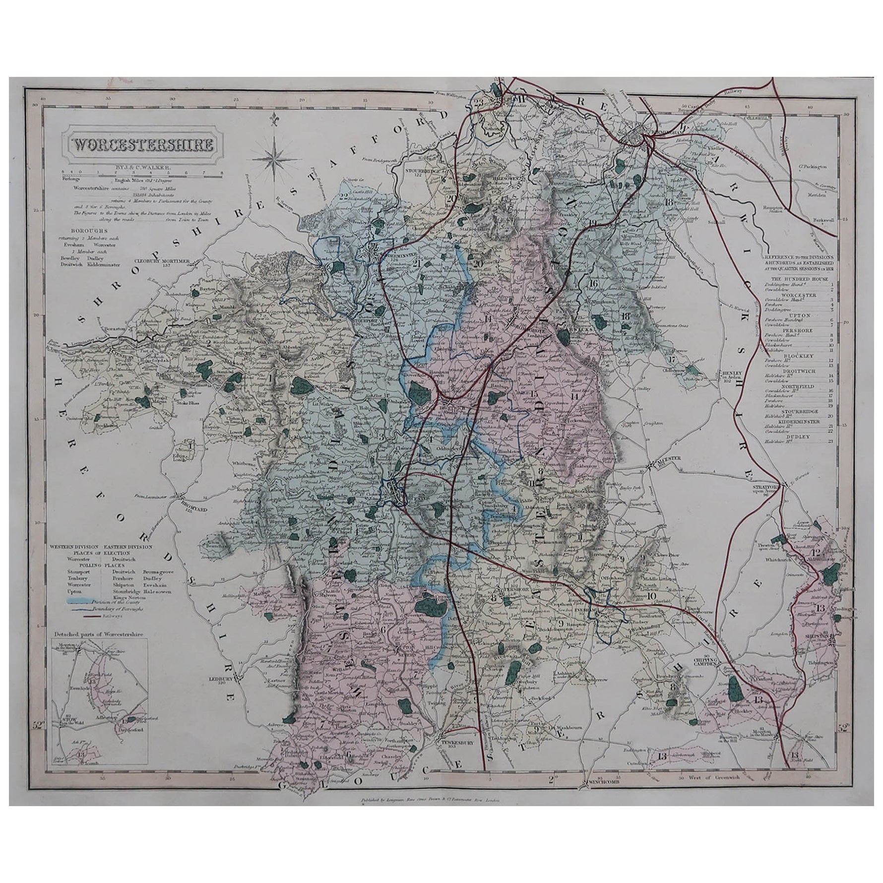
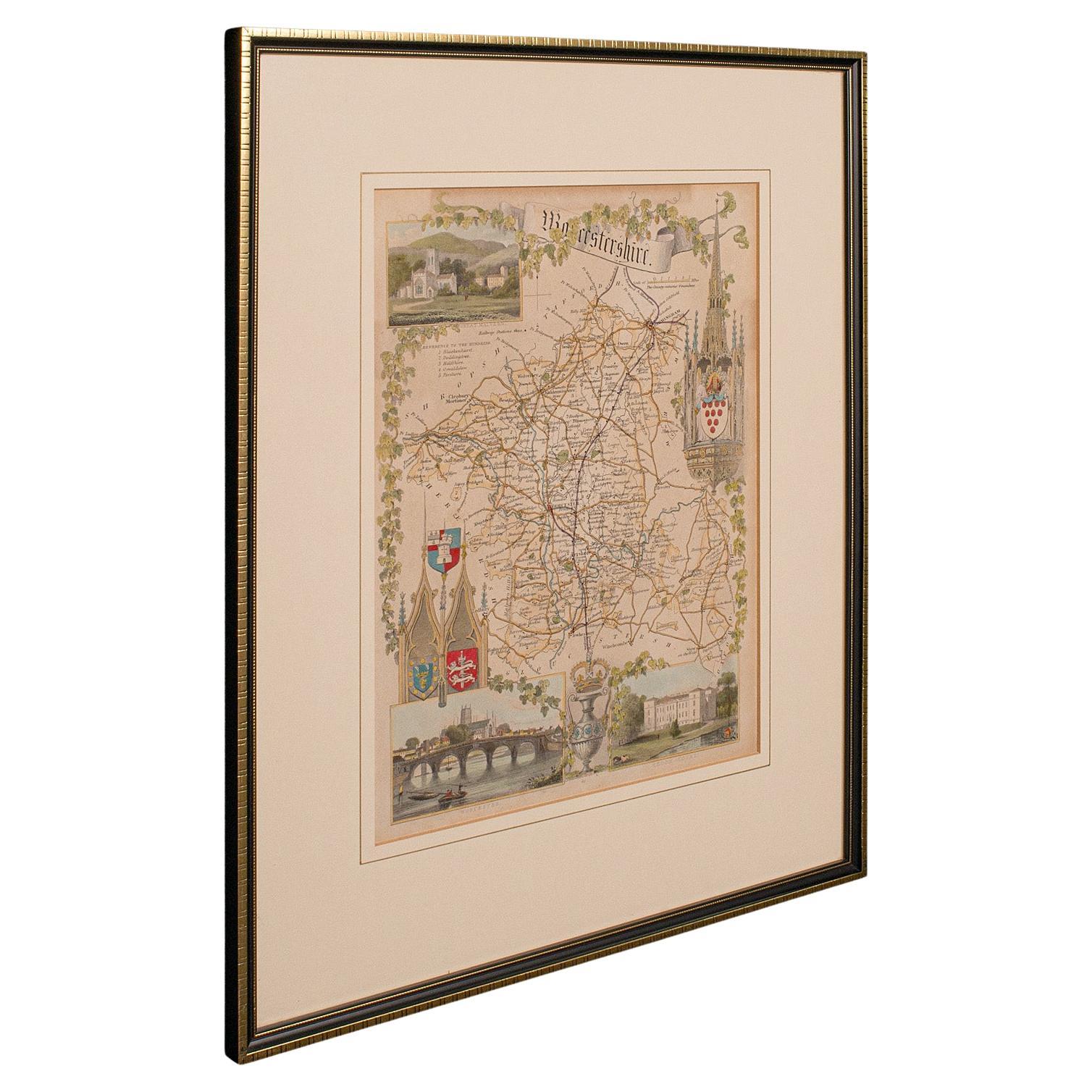
- Original Antique English County Map, Worcestershire, J & C Walker, 1851Located in St Annes, LancashireGreat map of Worcestershire Original colour By J & C Walker Published by Longman, Rees, Orme, Brown & Co. 1851 Unframed.Category
Antique 1850s English Other Maps
MaterialsPaper
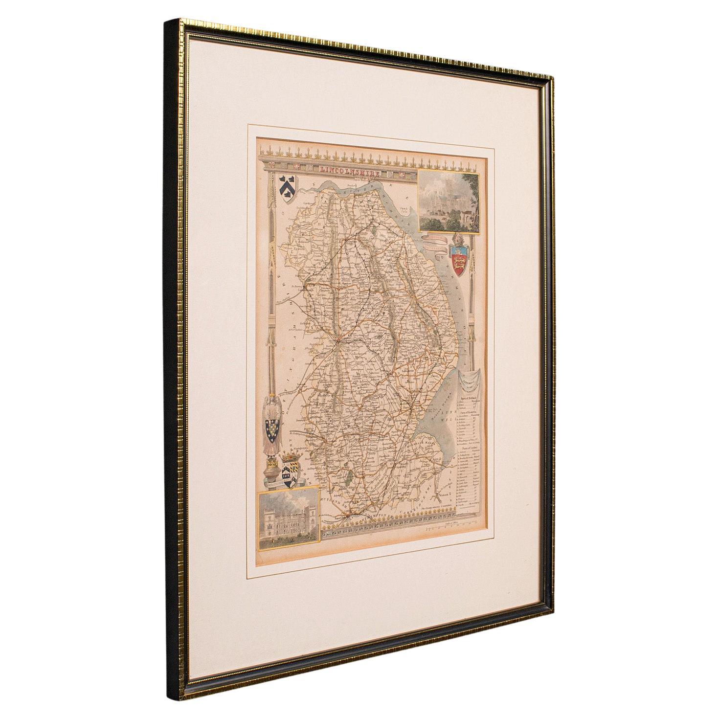
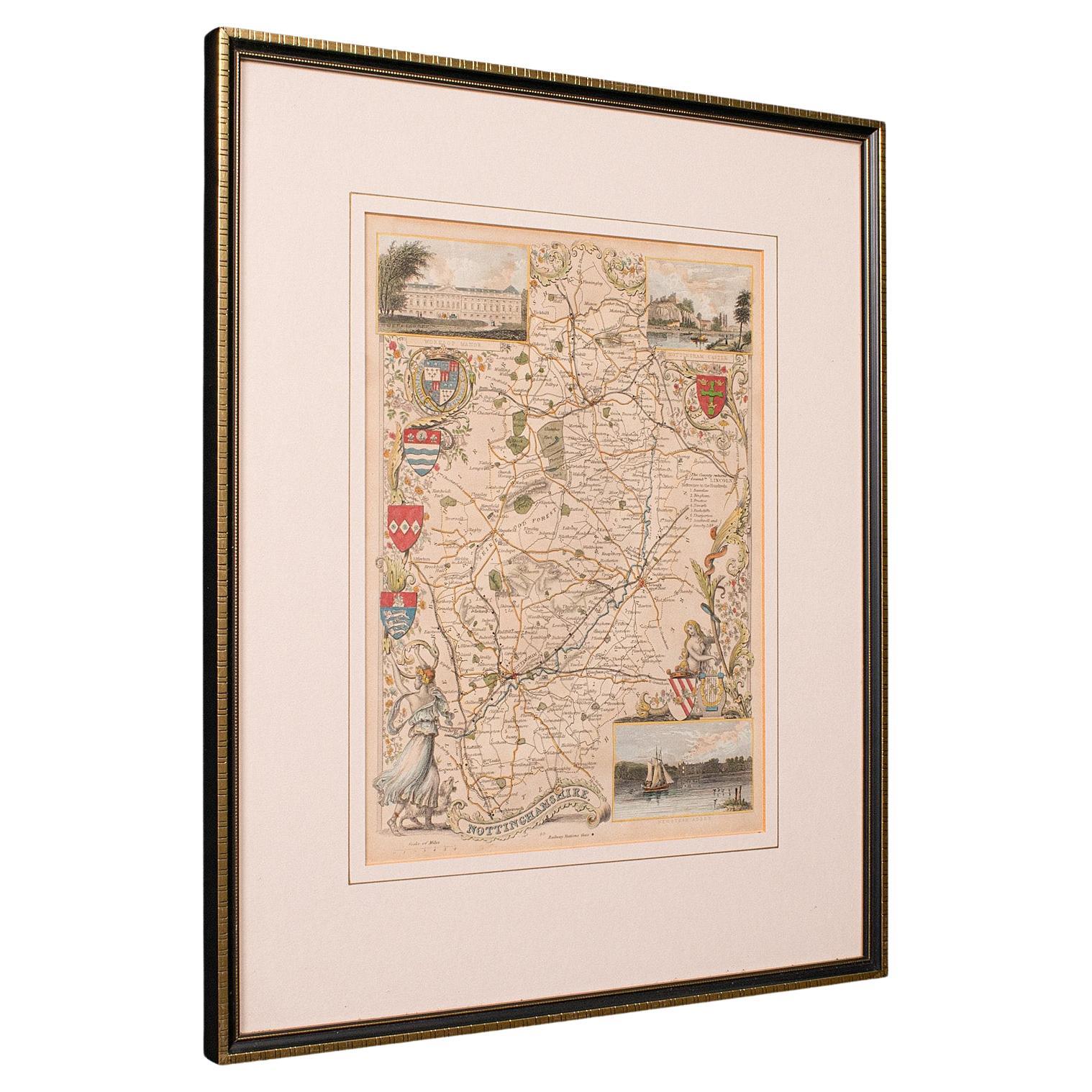
- Antique Lithography Map, Lincolnshire, English, Framed, Engraving, CartographyLocated in Hele, Devon, GBThis is an antique lithography map of Lincolnshire. An English, framed atlas engraving of cartographic interest, dating to the mid 19th century and...Category
Antique Mid-19th Century British Victorian Maps
MaterialsWood
- Antique Lithography Map, Northumberland, English, Framed, Engraving, CartographyLocated in Hele, Devon, GBThis is an antique lithography map of Northumberland. An English, framed atlas engraving of cartographic interest, dating to the mid 19th century a...Category
Antique Mid-19th Century British Victorian Maps
MaterialsWood
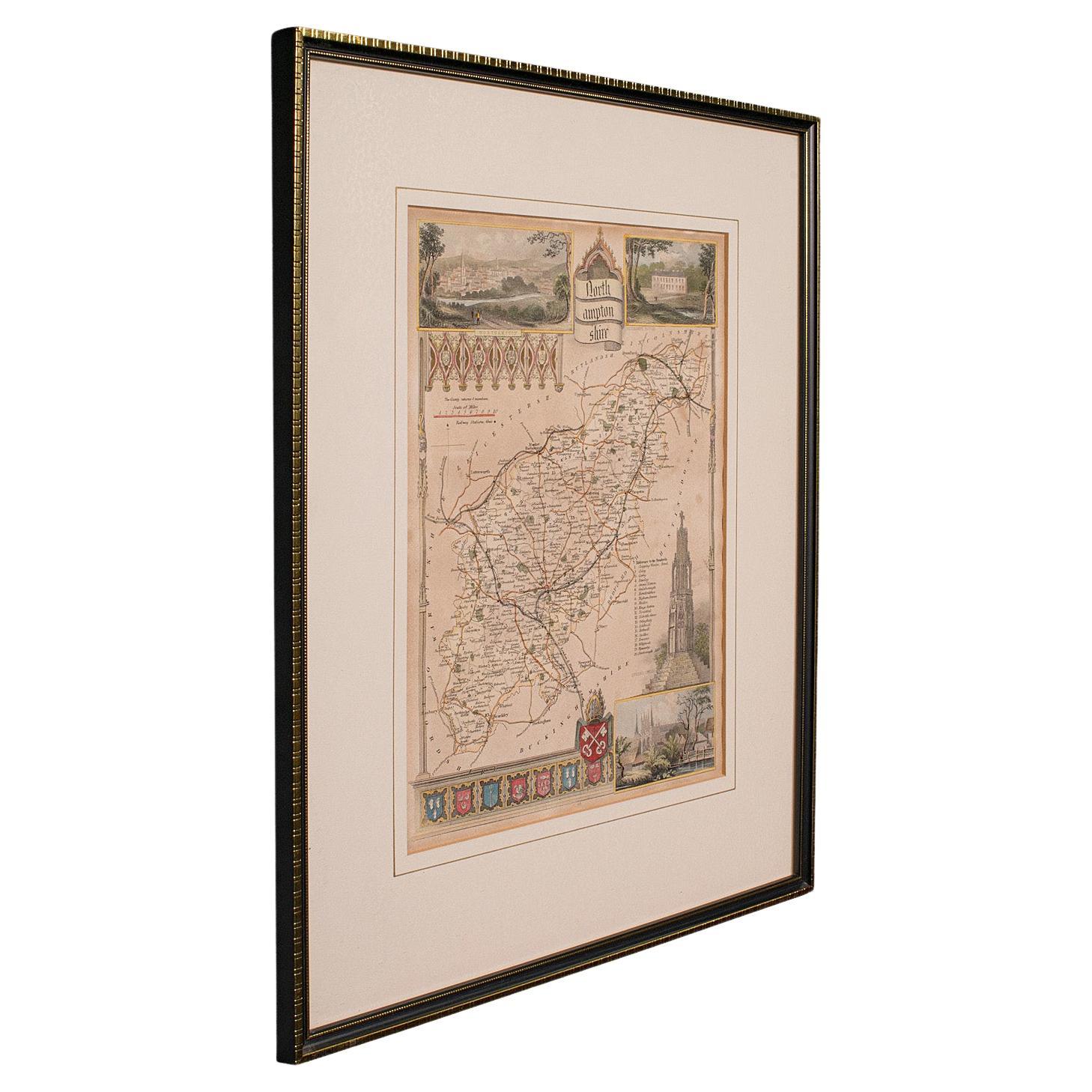
- Antique Lithography Map, Northamptonshire, English, Framed Cartography, C.1860Located in Hele, Devon, GBThis is an antique lithography map of Northamptonshire. An English, framed atlas engraving of cartographic interest, dating to the mid 19th century...Category
Antique Mid-19th Century British Victorian Maps
MaterialsWood
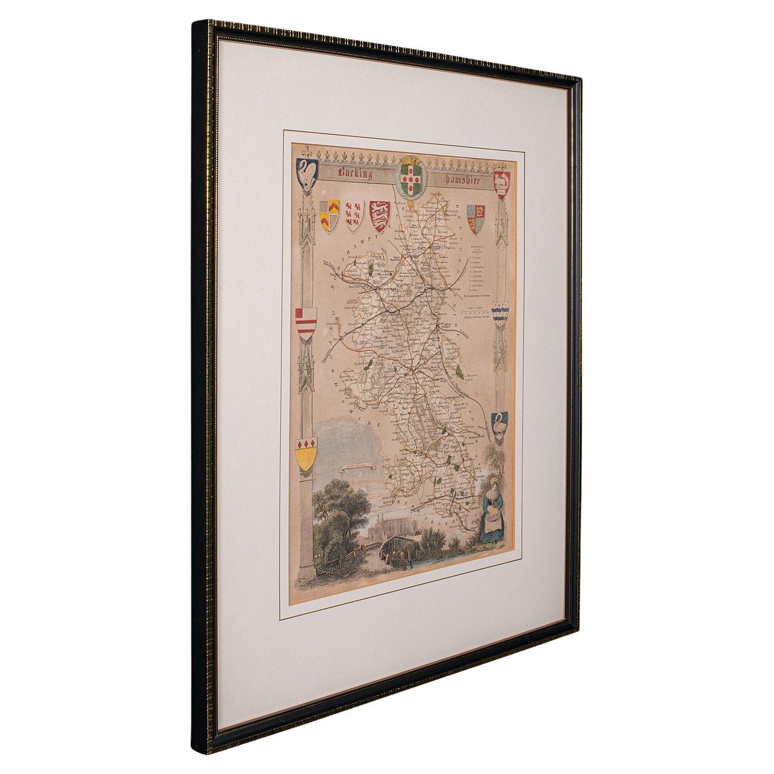
- Antique Lithography Map, Hertfordshire, English, Framed Engraving, CartographyLocated in Hele, Devon, GBThis is an antique lithography map of Hertfordshire. An English, framed atlas engraving of cartographic interest, dating to the mid 19th century an...Category
Antique Mid-19th Century British Victorian Maps
MaterialsWood
- Antique Lithography Map, Gloucestershire, English, Framed Engraving, CartographyLocated in Hele, Devon, GBThis is an antique lithography map of Gloucestershire. An English, framed atlas engraving of cartographic interest, dating to the mid 19th century ...Category
Antique Mid-19th Century British Victorian Maps
MaterialsWood


Recently Viewed
View AllMore Ways To Browse
Pocket Magnifying Glass
Dental Aluminum
Som Histories D
Huger Barometer
Berkel Slicer
Barometer Spanish
Id Lanyard
Copper Rain Gauge
Dolland And Co
Horse Measuring Walking Cane
Hourglass 1700s
Mechanical Sundial
Nautical Brass Barometer Antique
Palladio Barometer
Prosthetic Eye
Rolex Scientific
Russell Of Falkirk
Sikes Hydrometer