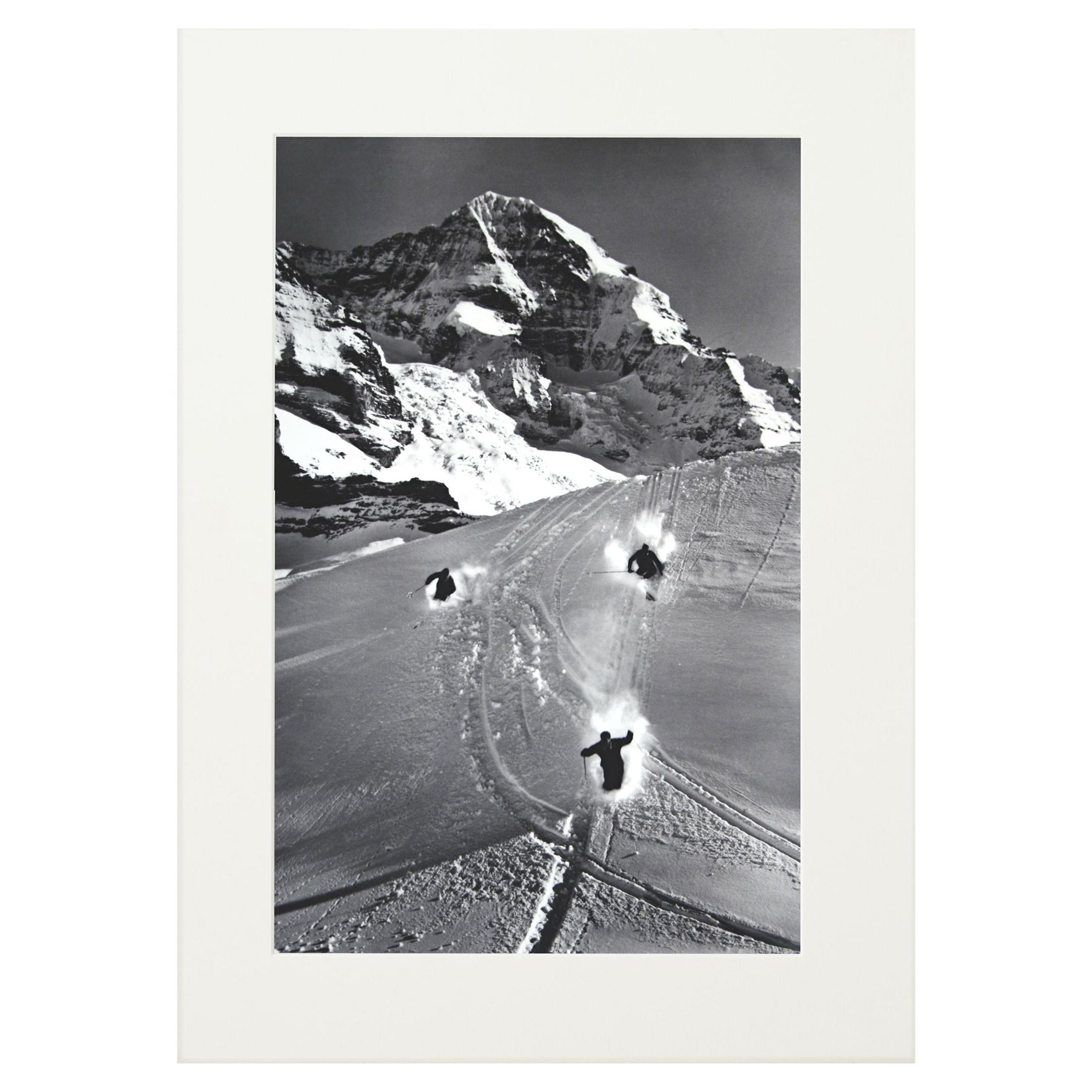
Vintage Travel Ski Poster, Arosa, Switzerland
View Similar Items

Want more images or videos?
Request additional images or videos from the seller
1 of 7
Vintage Travel Ski Poster, Arosa, Switzerland
About the Item
- Dimensions:Height: 40.16 in (102 cm)Width: 25.2 in (64 cm)Depth: 0.04 in (1 mm)
- Style:Sporting Art (Of the Period)
- Materials and Techniques:
- Place of Origin:
- Period:
- Date of Manufacture:1970
- Condition:Wear consistent with age and use. Very good.
- Seller Location:Oxfordshire, GB
- Reference Number:Seller: 216091stDibs: LU975717133272
About the Seller
5.0
Platinum Seller
These expertly vetted sellers are 1stDibs' most experienced sellers and are rated highest by our customers.
Established in 1977
1stDibs seller since 2013
691 sales on 1stDibs
Typical response time: 1 hour
Associations
LAPADA - The Association of Arts & Antiques Dealers
More From This SellerView All
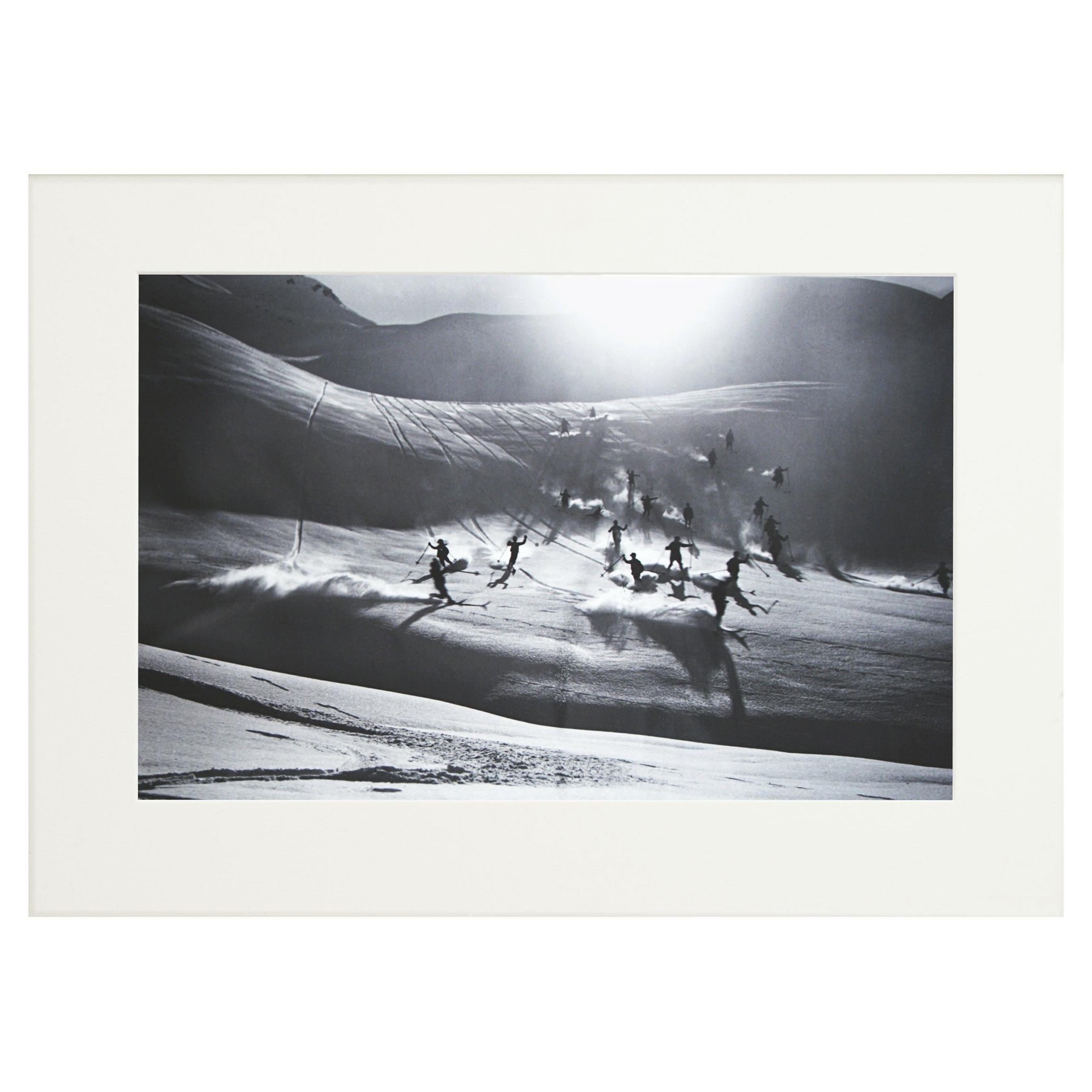
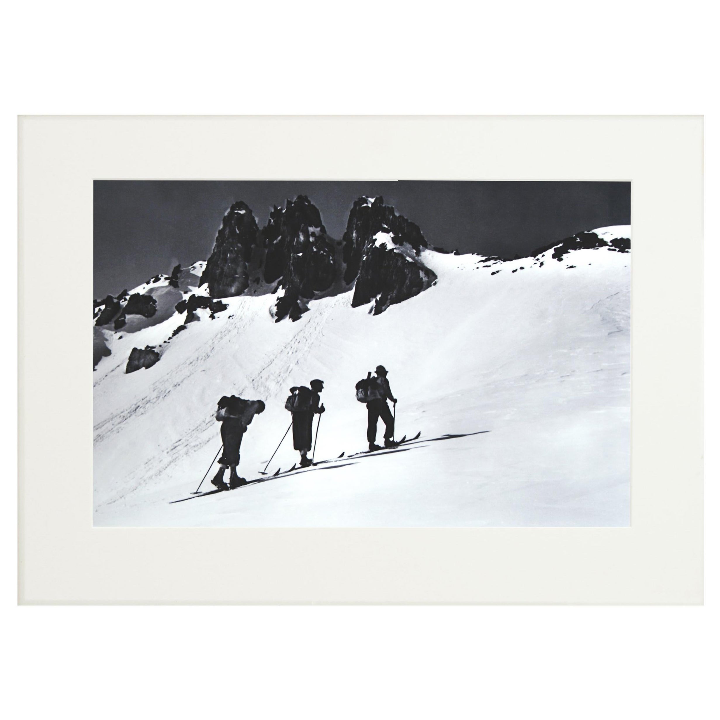
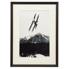
- Vintage Style Ski Photography, Framed Alpine Ski Photograph, QuersprungLocated in Oxfordshire, GB'QUERSPRUNG', a modern framed and mounted black and white photograph after an original 1930's skiing photograph. The frame is black with a burgundy undercoat, the glazing is clarity+...Category
Vintage 1930s British Sporting Art Sports Equipment and Memorabilia
MaterialsPaper, Wood
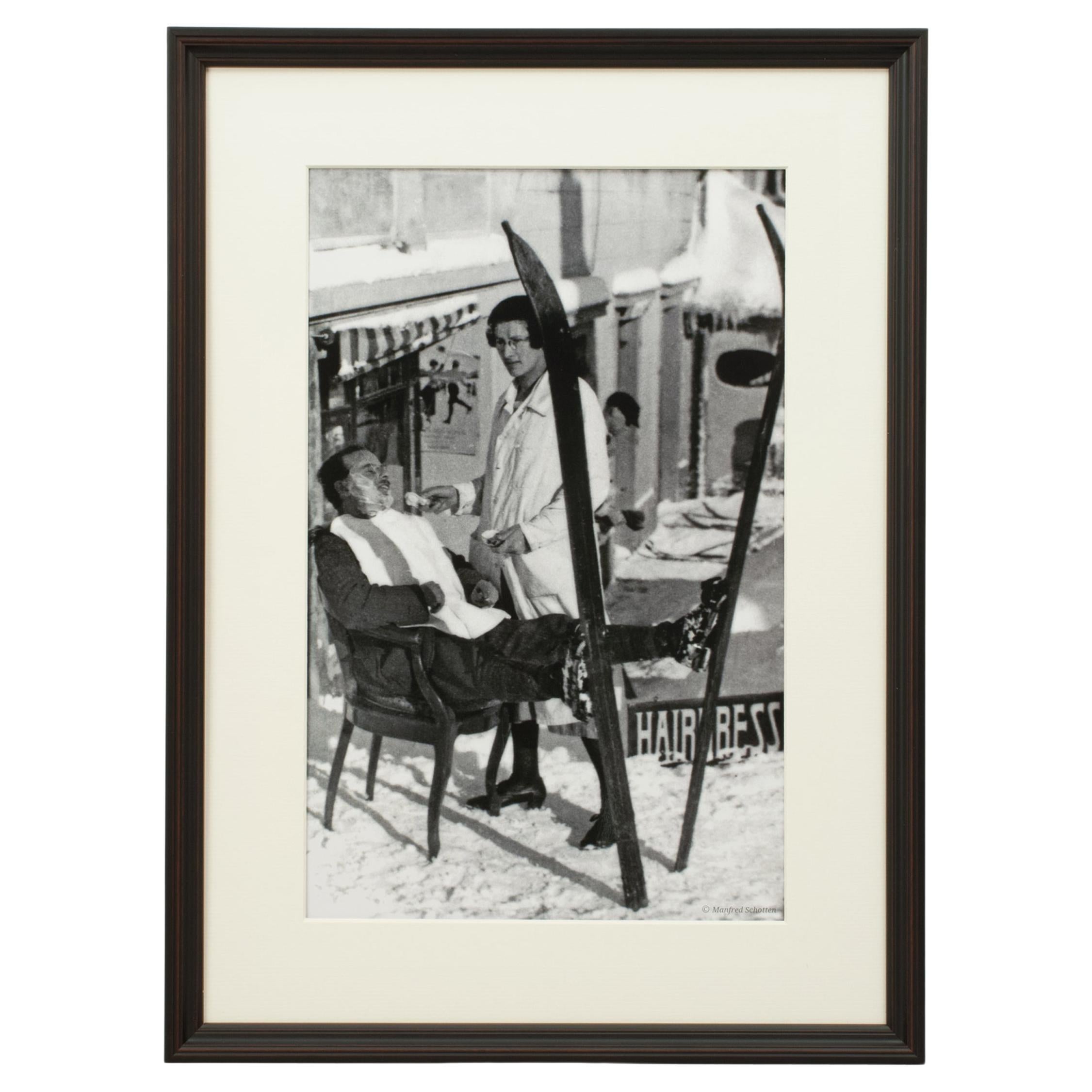
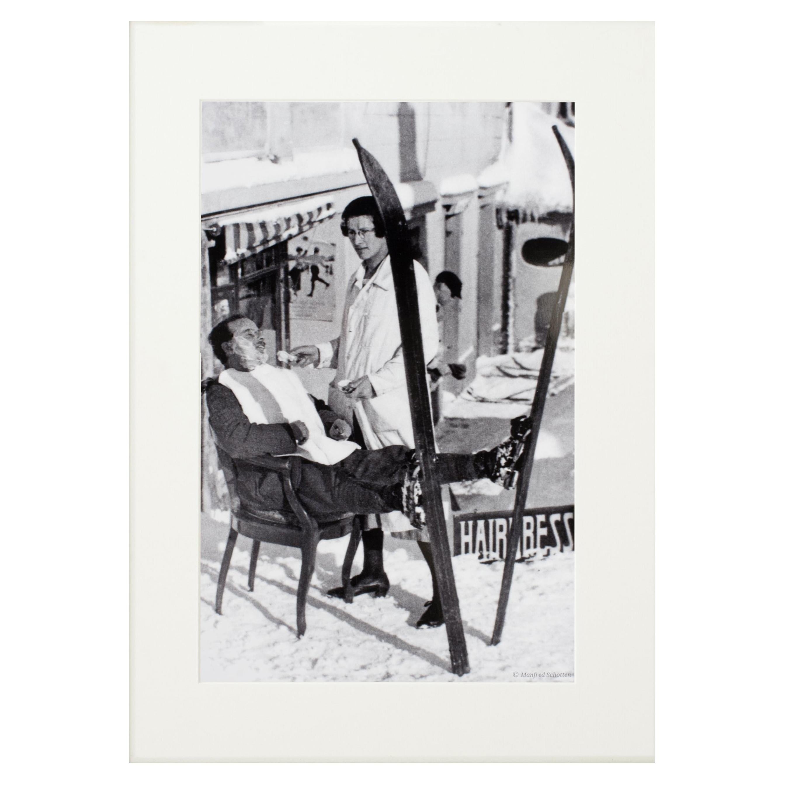
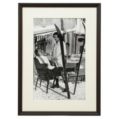
- Vintage Style Ski Photography, Framed Alpine Ski Photograph, Haircut SirLocated in Oxfordshire, GBVintage style Ski Photography, framed Alpine Ski Photograph, Haircut Sir. 'HAIRCUT SIR', a modern framed and mounted black and white pho...Category
Vintage 1930s English Sporting Art Sports Equipment and Memorabilia
MaterialsPaper, Wood
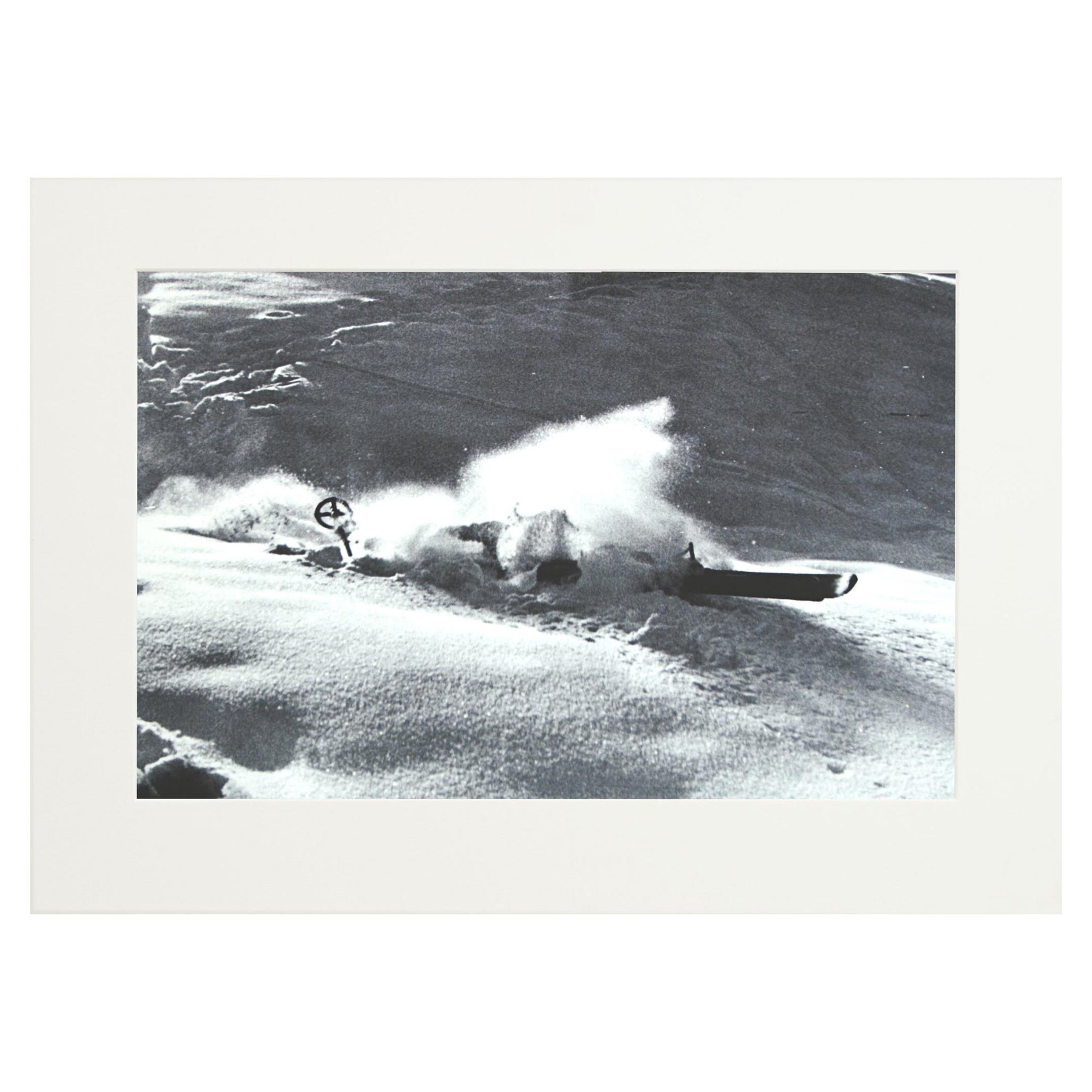
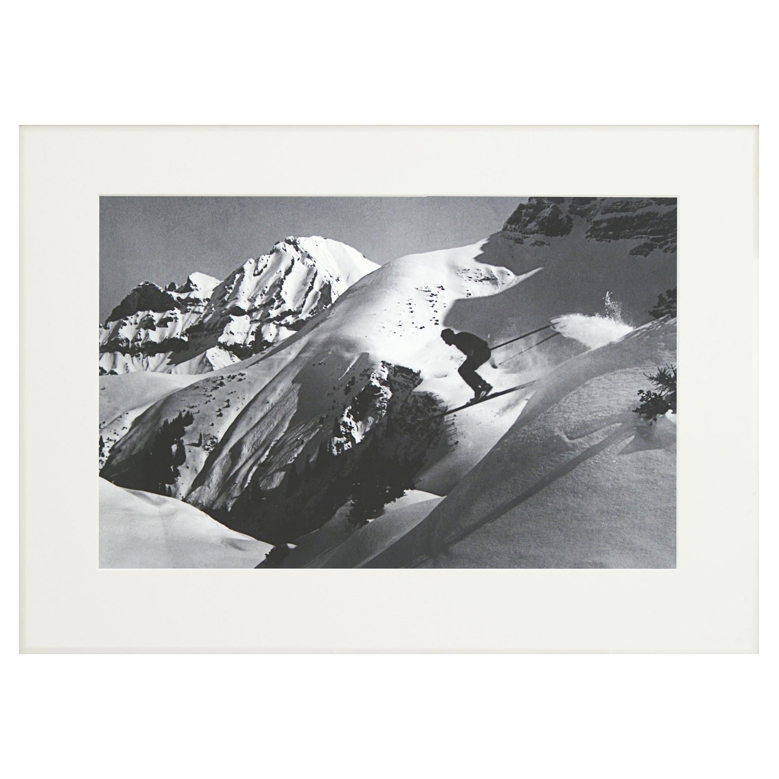
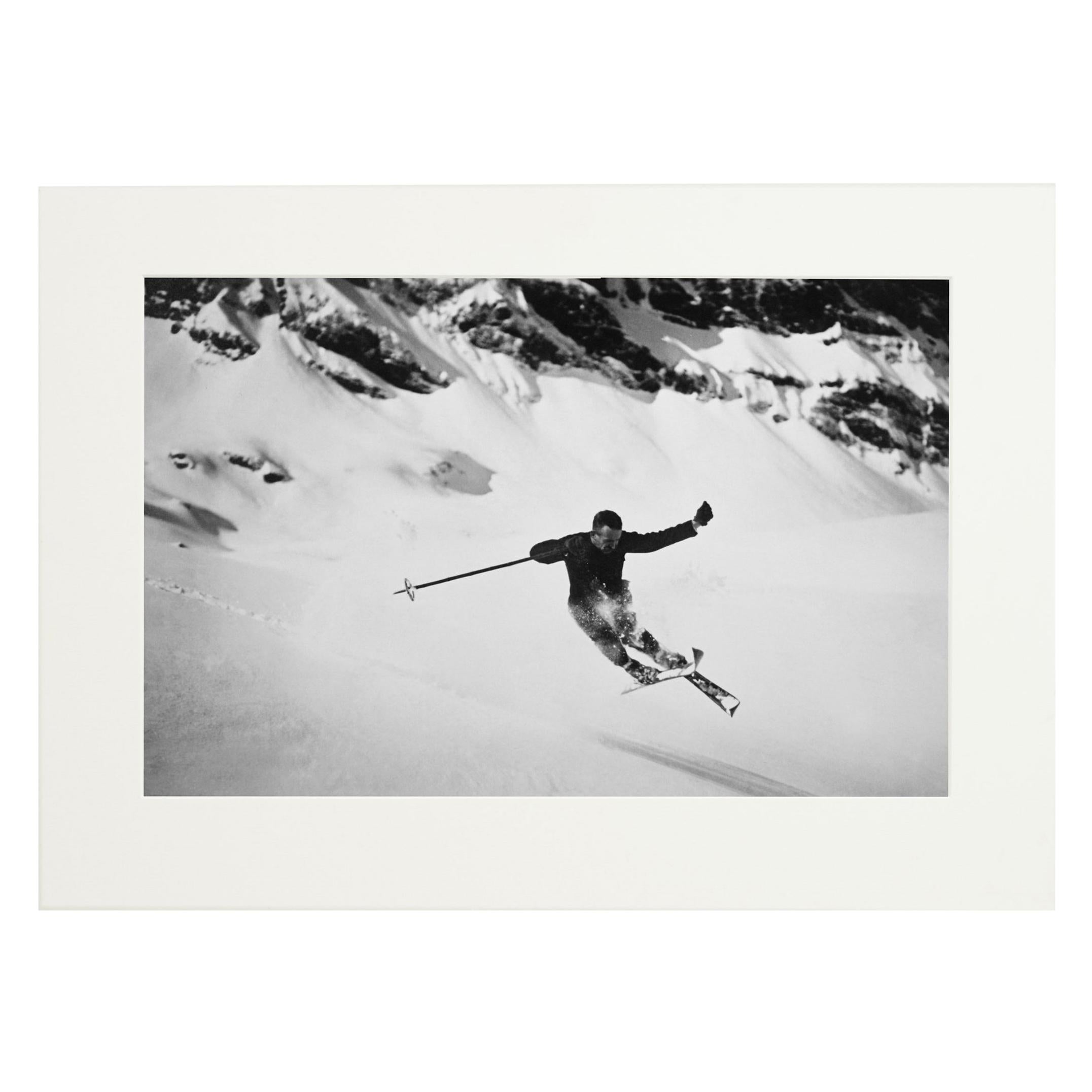
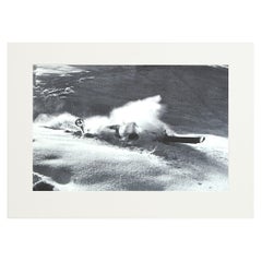
- Vintage, Antique Alpine Ski Photograph, 'NOSE DIVE'Located in Oxfordshire, GBAlpine Ski photograph. Taken from original 1930s photograph 'NOSE DIVE', a new mounted black and white photographic image after an original 1930...Category
Vintage 1930s English Sporting Art Sports Equipment and Memorabilia
MaterialsPaper
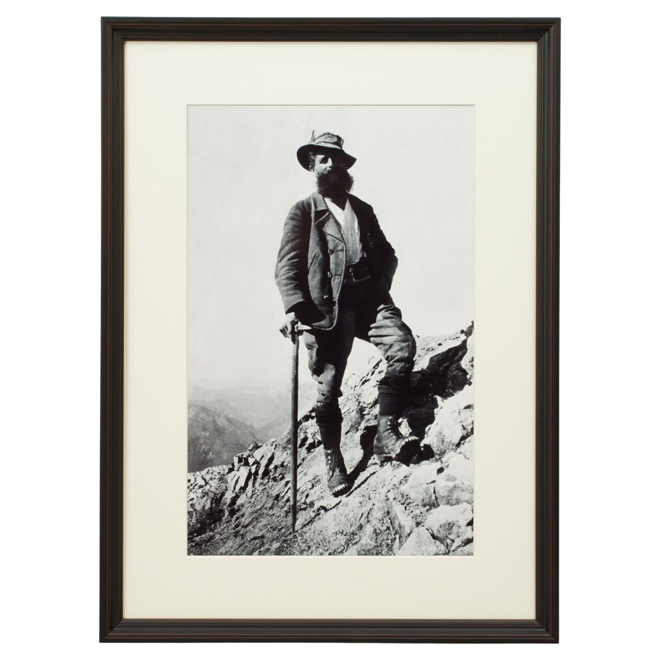
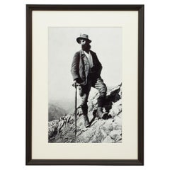
- Vintage Style Photography, Framed Alpine Ski Photograph, Bavarian GuideLocated in Oxfordshire, GBVintage Style Photography, Framed Alpine Ski Photograph, Bavarian Guide. 'BAVARIAN GUIDE', a modern framed and mounted black and white photograph after an original 1930's skiing pho...Category
Vintage 1930s British Sporting Art Sports Equipment and Memorabilia
MaterialsPaper, Wood
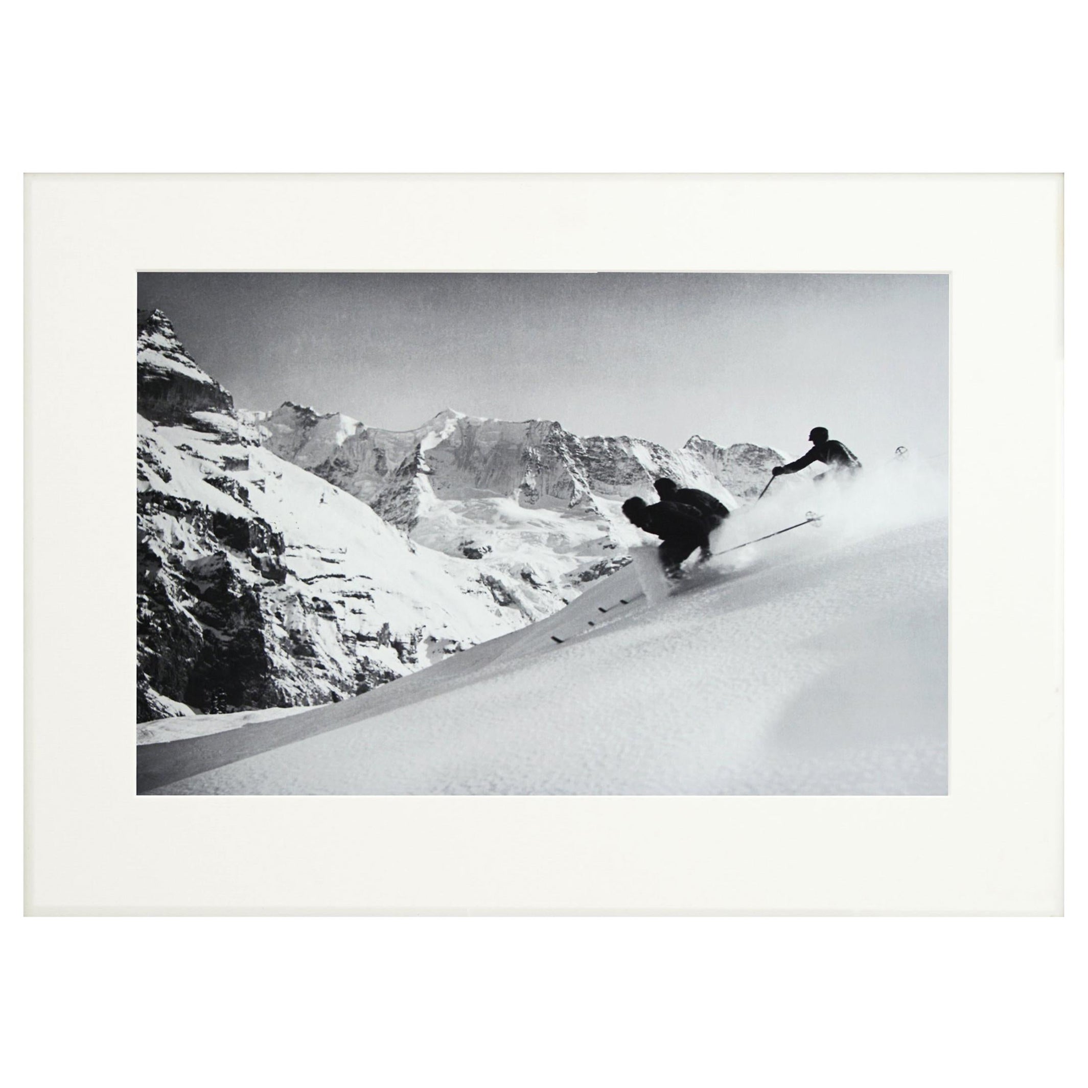
- Vintage Style Photography, Framed Alpine Ski Photograph, The RaceLocated in Oxfordshire, GBVintage Style Photography, Framed Alpine Ski Photograph, The Race. 'THE RACE', a modern framed and mounted black and white photograph after an original 1930's skiing photograph. The...Category
Vintage 1930s British Sporting Art Sports Equipment and Memorabilia
MaterialsPaper, Wood
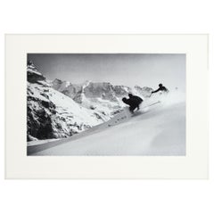
- Alpine Ski Photograph, 'SCHUSS'Located in Oxfordshire, GBAlpine Ski photograph. 'SCHUSS' Murren, Switzerland, a new mounted black and white photographic image after an original 1930s skiing photograph....Category
2010s Sporting Art Sports Equipment and Memorabilia
MaterialsPaper
 $88 / item
You May Also Like
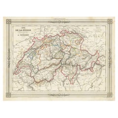
- 1859 Antique Swiss Panorama: Blackie's Detailed Map of SwitzerlandLocated in Langweer, NLThe "Antique Map of Switzerland" is a distinguished piece from 'The Imperial Atlas of Modern Geography', published in 1859 by the renowned cartographer W. G. Blackie. This map presen...Category
Antique Mid-19th Century Maps
MaterialsPaper
 $192 Sale Price30% Off
 - Swiss Splendor: Antique Map of Switzerland and Its Cantons, 1852Located in Langweer, NLThe antique map titled 'Carte de la Suisse' is an attractive map of Switzerland. Here are the key details and features of the map: 1. **Geographic Coverage**: - The map provides comprehensive coverage of Switzerland, depicting the entire country. - It showcases the division of Switzerland by Cantons, including regions from Vaud to Grisons. - Additionally, the map includes parts of adjacent countries, such as France, Germany, and Italy, providing context for Switzerland's geographical location. 2. **Cartographic Details**: - The map offers detailed cartographic information, including the delineation of geographic features, rivers, mountains, and the names of Cantons and towns. - It presents a clear and informative representation of Switzerland's topography. 3. **Origin**: - This map originates from Maison Basset's 1852 edition of 'Atlas Illustre Destine a l'enseignement de la Geographie elementaire,' indicating its use for educational purposes, particularly in the teaching of geography. 4. **Educational Significance**: - As part of an educational atlas, the map likely played a role in instructing students about the geography of Switzerland and its political subdivisions. - It may have been employed as a visual aid to enhance students' understanding of Switzerland's Cantonal divisions. 5. **Aesthetic Appeal**: - The map is described as attractive, suggesting that it possesses not only educational value but also visual appeal. - Maps of this era often featured decorative elements that added to their aesthetic charm. 6. **Historical and Geopolitical Significance**: - Switzerland's unique position in Europe, as a country surrounded...Category
Antique Mid-19th Century Maps
MaterialsPaper
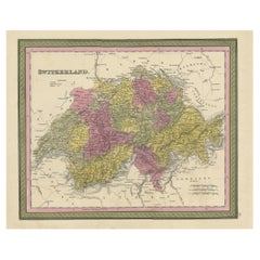
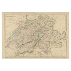
- Colourful Antique Map of Switzerland, 1846Located in Langweer, NLAntique map titled 'Switzerland'. Old map of Switzerland. This map originates from 'A New Universal Atlas Containing Maps of the various Empires...Category
Antique 1840s Maps
MaterialsPaper
- Antique Map of Switzerland by A & C. Black, 1870Located in Langweer, NLAntique map titled 'Switzerland'. Original antique map of Switzerland. This map originates from ‘Black's General Atlas of The World’. Published by A & C. Black, 1870.Category
Antique Late 19th Century Maps
MaterialsPaper
- Antique Map of Switzerland by Lapie, 1842Located in Langweer, NLAntique map titled 'Carte de la Suisse ou Helvetie'. Map of Switzerland. This map originates from 'Atlas universel de géographie ancienne et moderne...Category
Antique Mid-19th Century Maps
MaterialsPaper
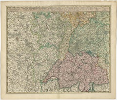
- Antique Map of Switzerland by N. Visscher, circa 1690Located in Langweer, NLAntique map titled 'Tabula Geogaphica qua Pars Meridionalis sive Superior Rheni, Mosae, et Mosellae (..)'. Published by N. Visscher, Amsterdam, circa 1690. Contemporary coloring.Category
Antique Late 17th Century Maps
MaterialsPaper
 $585 Sale Price20% Off