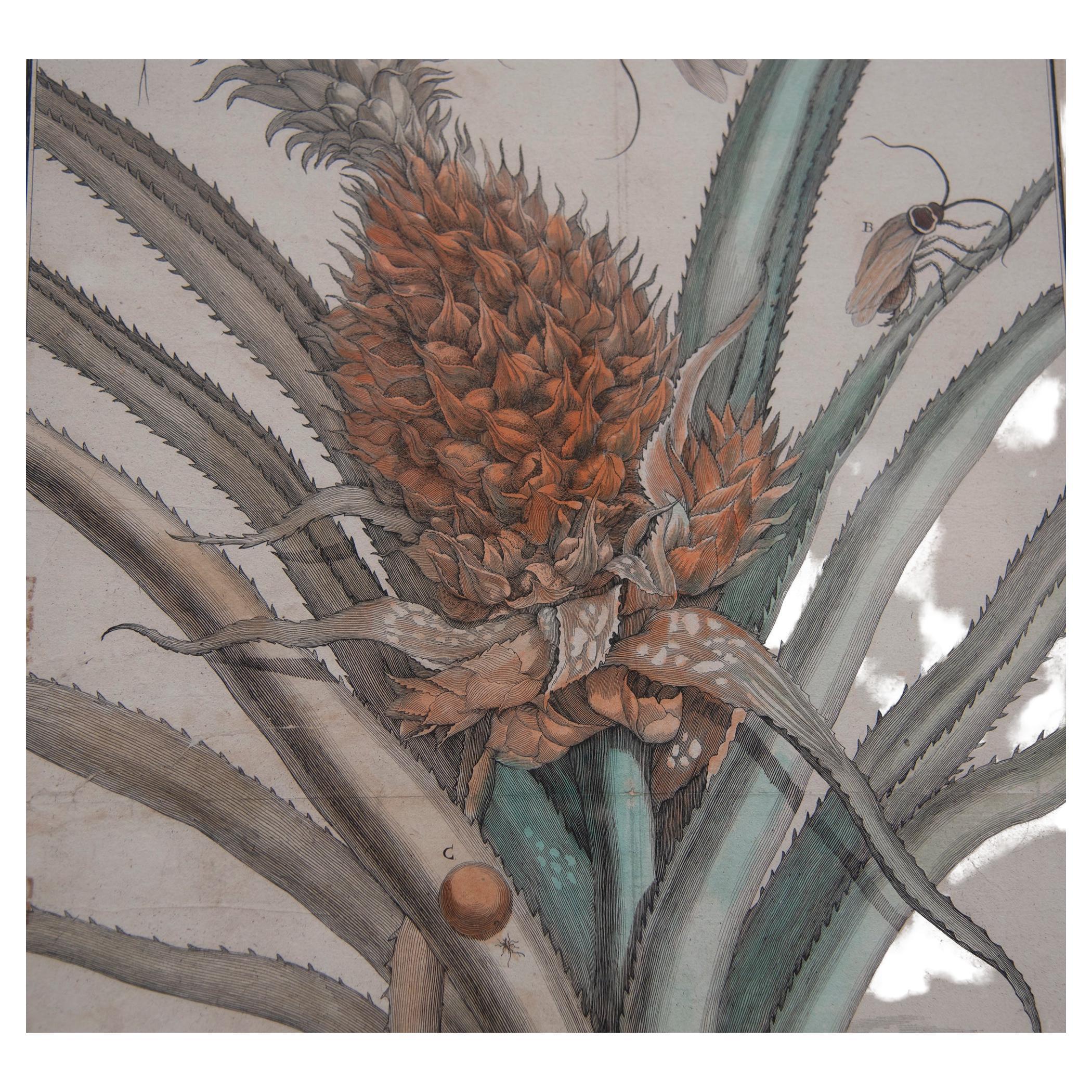
17th century French Map
View Similar Items

1 of 8
17th century French Map
$2,500List Price
About the Item
- Dimensions:Height: 22.5 in (57.15 cm)
- Materials and Techniques:
- Period:
- Date of Manufacture:17th century
- Condition:Good condition, map has a fold and the edges are worn.
- Seller Location:Seattle, WA
- Reference Number:Seller: 09-4051stDibs: 0912028659144
Authenticity Guarantee
In the unlikely event there’s an issue with an item’s authenticity, contact us within 1 year for a full refund. DetailsMoney-Back Guarantee
If your item is not as described, is damaged in transit, or does not arrive, contact us within 7 days for a full refund. Details24-Hour Cancellation
You have a 24-hour grace period in which to reconsider your purchase, with no questions asked.Vetted Professional Sellers
Our world-class sellers must adhere to strict standards for service and quality, maintaining the integrity of our listings.Price-Match Guarantee
If you find that a seller listed the same item for a lower price elsewhere, we’ll match it.Trusted Global Delivery
Our best-in-class carrier network provides specialized shipping options worldwide, including custom delivery.You May Also Like
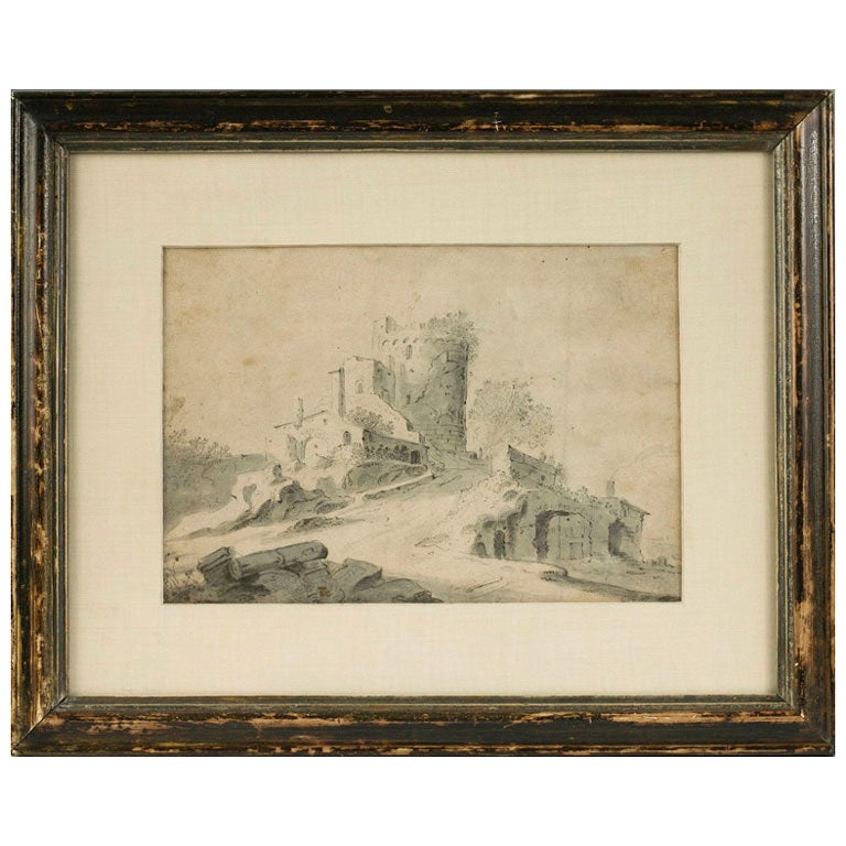
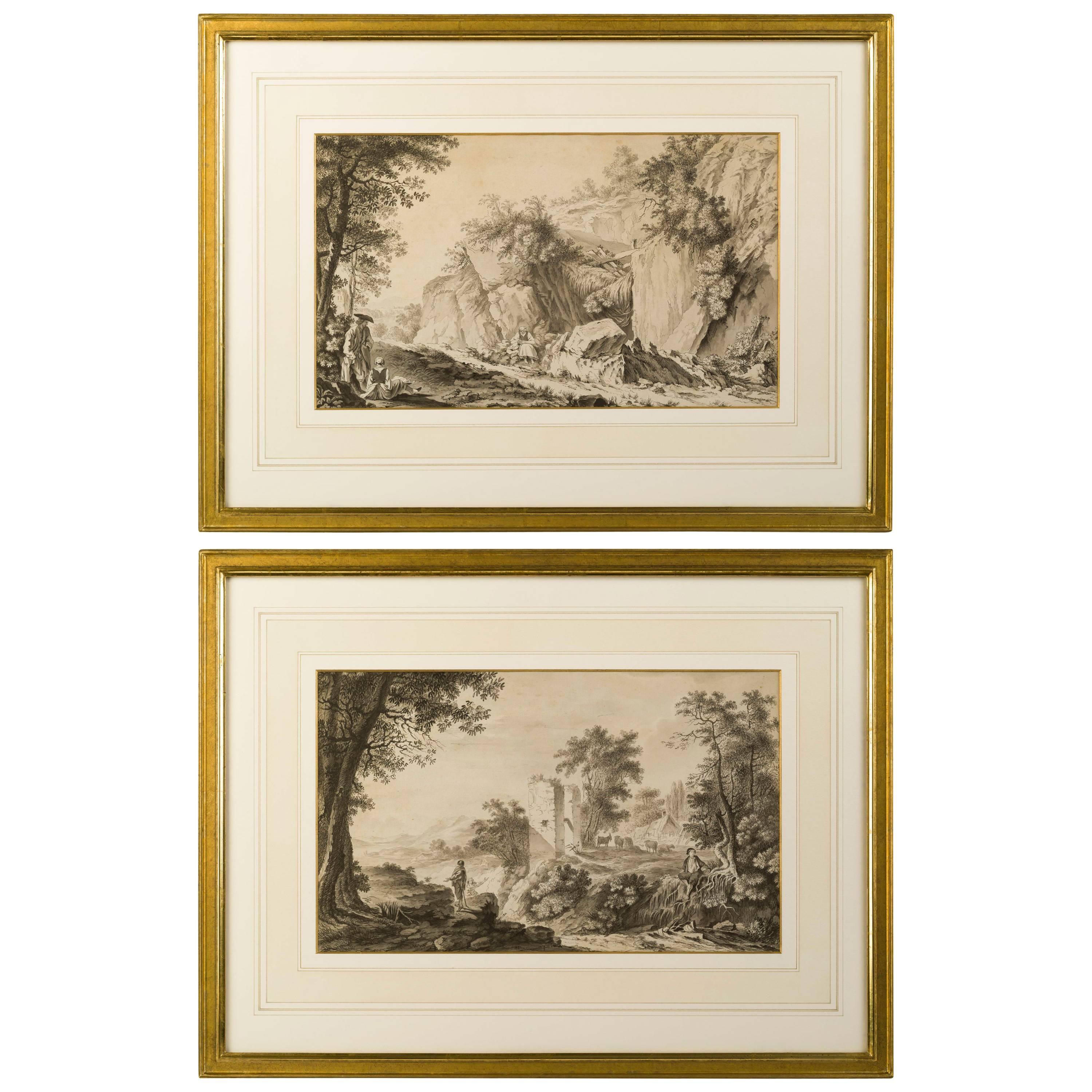
Drawing, 17th Century Dutch School
Located in Kittery Point, ME
Drawing, Attributed to Bartholomeus Breenbergh (Deventer 1598-1657 Amsterdam).
Ruins of an old fort on a hilltop inscribed 'A. no.2'
black chalk, pen and brown ink, grey wash, pen ...
Category
Antique 18th Century and Earlier Dutch Drawings
Materials
Pen

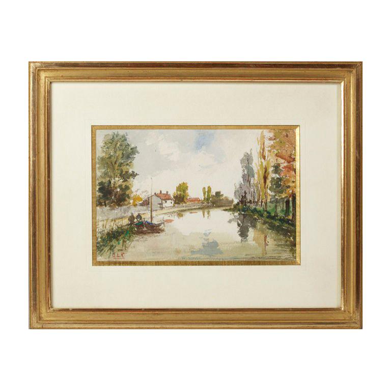
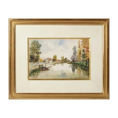
Watercolor, French School, 19th Century
Located in Kittery Point, ME
Landscape with River, Signed in red L de N.
Category
Antique 19th Century French Drawings
Materials
Paper
$1,200 Sale Price
20% Off
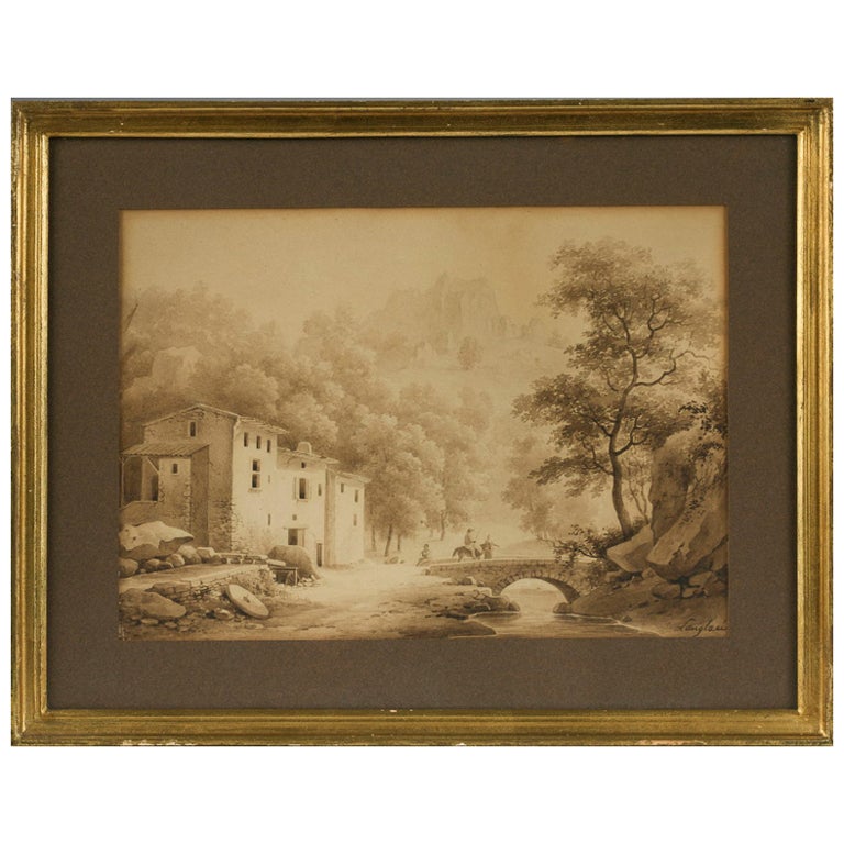
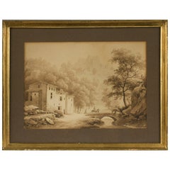
Drawing by Langlace, French School 19th Century
By Langlace
Located in Kittery Point, ME
Moutaineous Landscape with Bridge over a River
Signed lower right by Jean-Baptiste Gabriel Langlace (1786-1864)
Brown wash on paper.
Category
Antique 19th Century French Drawings
Materials
Paper
$960 Sale Price
20% Off
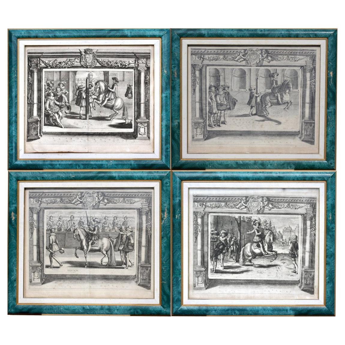
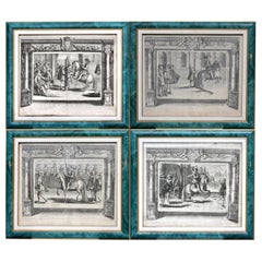
Set of Four French Equestrian Engravings, 18th-19th Century
Located in West Palm Beach, FL
Set of four French equestrian engravings
18th-19th century
depicting aristocrats and prize stallions in a procession or being shown at a festiva...
Category
Antique 19th Century Decorative Art
Materials
Paper
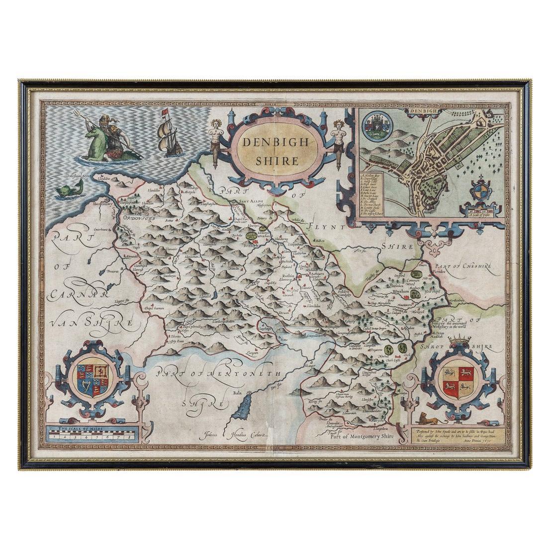
17th Century John Speed Map of Denbighshire, c.1610
By John Speed
Located in Royal Tunbridge Wells, Kent
Antique early 17th century British very rare and original John Speed, hand coloured map of Denbighshire, dated 1610, by John Sunbury and George Humble. John...
Category
Antique 17th Century British Maps
Materials
Wood, Paper

17th Century Nicolas Visscher Map of Southeastern Europe
Located in Hamilton, Ontario
A beautiful, highly detailed map of southeastern Europe by Nicolas Visscher. Includes regions of Northern Italy (showing the cities Bologna, Padua, and Venice), Bohemia, Austria (sho...
Category
Antique 17th Century Dutch Maps
Materials
Paper

$1,350 Sale Price
38% Off