Items Similar to Set of Two 19th Century French Hand-Colored Regional Maps
Video Loading
Want more images or videos?
Request additional images or videos from the seller
1 of 22
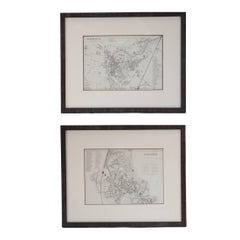
Set of Two 19th Century French Hand-Colored Regional Maps
$675per set
£509.81per set
€589.19per set
CA$946.79per set
A$1,052.92per set
CHF 551.16per set
MX$12,844.38per set
NOK 6,925.48per set
SEK 6,514.31per set
DKK 4,397.93per set
About the Item
These historical regional maps depict the “Dépt de la Moselle" (Department of Moselle) and the Departement de Gard in France. Both pieces date back to the 19th Century, given their style and cartographic techniques. The ornate borders and embellishments typical of maps from this era showing roads, railways, waterways, arrondissements, cantons, and communes reflect the area's natural beauty and trade.
Both engravings been presented in a wooden frame and matted, enhancing its antique aesthetic.
Measurements for the second frame is slightly smaller, measuring 1.1 Deep, 26.45 wide and 20.75 inches in height.
- Dimensions:Height: 21 in (53.34 cm)Width: 27.25 in (69.22 cm)Depth: 1.1 in (2.8 cm)
- Sold As:Set of 2
- Style:Empire (Of the Period)
- Materials and Techniques:
- Place of Origin:
- Period:
- Date of Manufacture:1835
- Condition:Wear consistent with age and use. Both frames have been professionally matted and framed.
- Seller Location:Haddonfield, NJ
- Reference Number:Seller: 373521stDibs: LU943444773142
About the Seller
5.0
Platinum Seller
Premium sellers with a 4.7+ rating and 24-hour response times
Established in 2010
1stDibs seller since 2012
2,024 sales on 1stDibs
Typical response time: <1 hour
- ShippingRetrieving quote...Shipping from: Haddonfield, NJ
- Return Policy
Authenticity Guarantee
In the unlikely event there’s an issue with an item’s authenticity, contact us within 1 year for a full refund. DetailsMoney-Back Guarantee
If your item is not as described, is damaged in transit, or does not arrive, contact us within 7 days for a full refund. Details24-Hour Cancellation
You have a 24-hour grace period in which to reconsider your purchase, with no questions asked.Vetted Professional Sellers
Our world-class sellers must adhere to strict standards for service and quality, maintaining the integrity of our listings.Price-Match Guarantee
If you find that a seller listed the same item for a lower price elsewhere, we’ll match it.Trusted Global Delivery
Our best-in-class carrier network provides specialized shipping options worldwide, including custom delivery.More From This Seller
View All18th Century Map of French Pyrenees Region of France
Located in Haddonfield, NJ
An antique map titled "Principatus Benearnia, La Principaute De Bearn" created by the renowned Dutch cartographer Willem Janszoon Blaeu.
It depicts the Principality of Bearn, a histo...
Category
Antique 1880s Danish Baroque Maps
Materials
Wood, Paper

16th Century Antique Map of Ven Framed in Gold
Located in Haddonfield, NJ
Ven (older Swedish spelling Hven), is a Swedish island in the Öresund strait laying between Skåne, Sweden and Zealand and Denmark. The island was historically under Danish rule. Dani...
Category
Antique 16th Century Danish Baroque Maps
Materials
Wood, Paper
Set Four Hand Colored Pierre Gravees Antiques Engravings
Located in Haddonfield, NJ
Fantastic 18th Century Antique Hand-Colored Engravings depicting Greek Mythological scenes. This set of artwork is from J.B. Wicar. These matted and gold gilt...
Category
Antique Late 18th Century European Neoclassical Revival Prints
Materials
Glass, Wood, Giltwood, Paper

Pair Of Scandinavian Rococo Folk Art Wooden Paintings
Located in Haddonfield, NJ
Pair of early Swedish Rococo Folk Art wooden paintings or table tops.
Category
Antique Mid-18th Century Scandinavian Folk Art Paintings
Materials
Wood
$4,080 Sale Price / set
40% Off
Antique Raffaello Hand Colored Lithograph Etching in Gilt Frame
Located in Haddonfield, NJ
Impressive Italian hand-colored classic motif print depicting lions, birds, griffins, swans, ruins, putti and strongmen.
Raffaello Sanzio d'Urbino, also known as Raphael, designed t...
Category
Mid-20th Century Italian Neoclassical Drawings
Materials
Wood, Giltwood, Paper

19th Century Lithograph Map of Lower Manhattan, New York
Located in Haddonfield, NJ
1859 hand colored map of Lower Manhattan or New Amsterdam by George H. Moore.
Category
Antique 19th Century English Folk Art Maps
Materials
Paper

$620 Sale Price
20% Off
You May Also Like
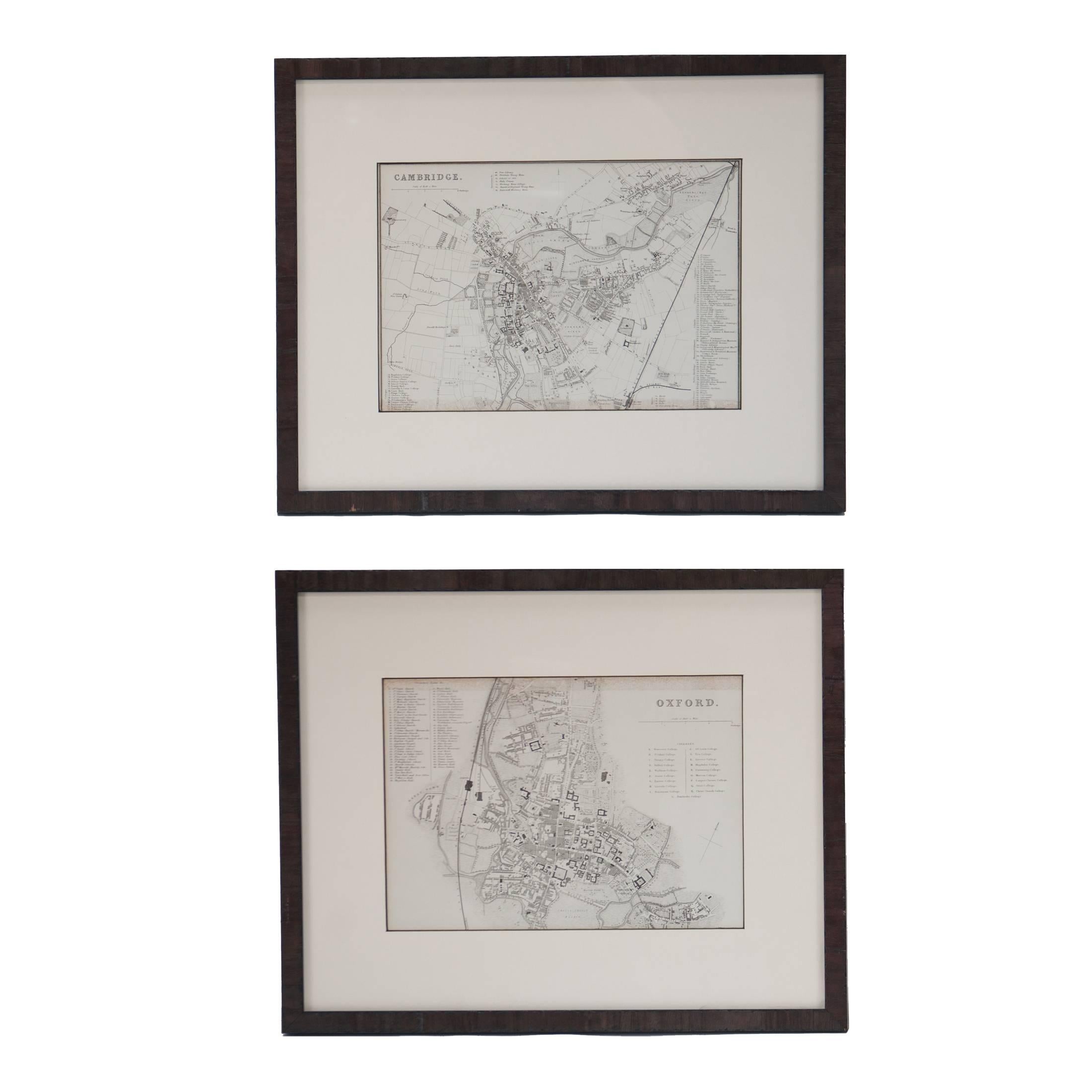
Mid 19th Century Pair of Framed English Maps of Oxford and Cambridge
Located in Los Angeles, CA
This pair of maps featuring Oxford and Cambridge is beautifully preserved in custom black wood frames. These hand-drawn maps showcase exquisite lettering and a remarkable level of de...
Category
Antique 19th Century English Victorian Prints
Materials
Paper, Wood
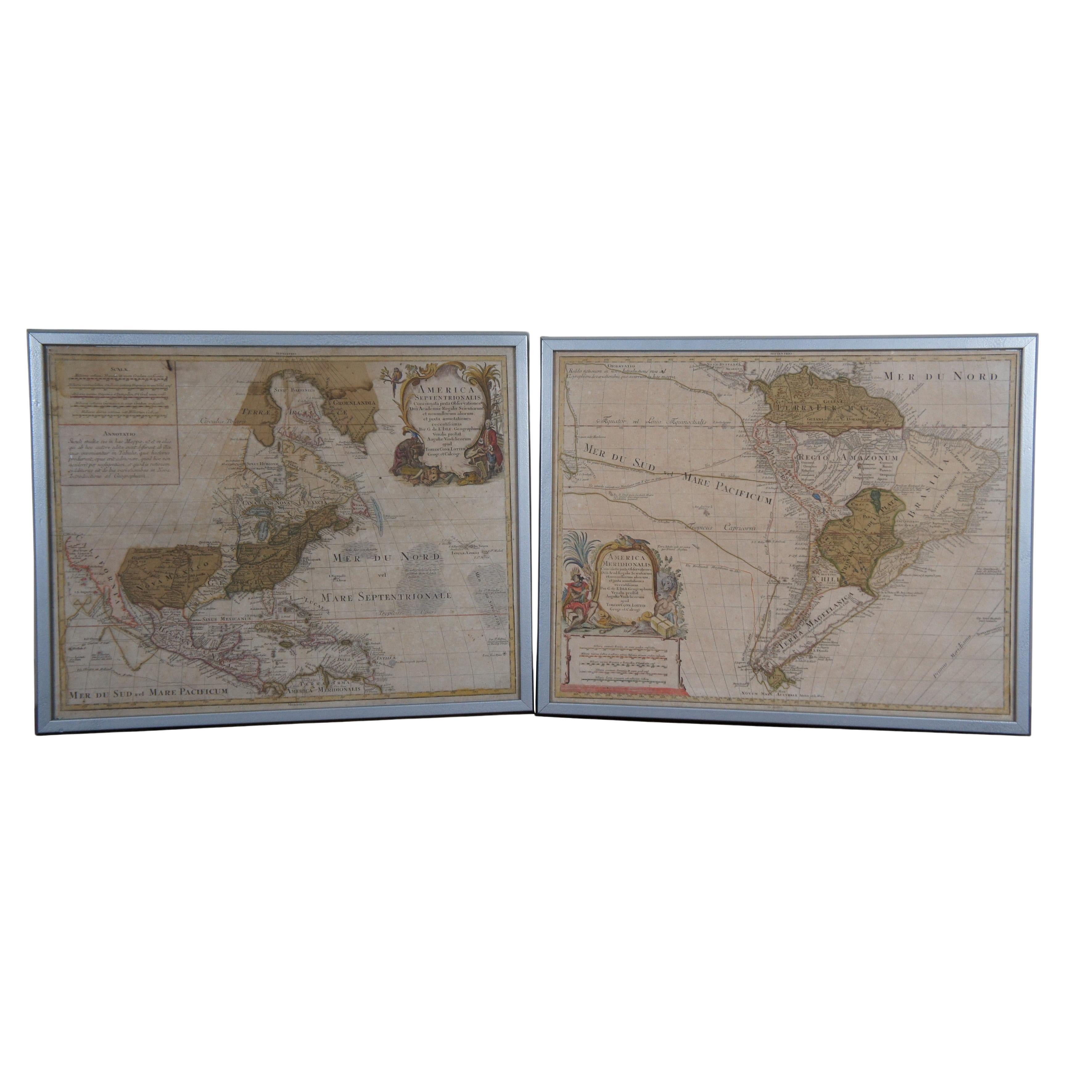
18th Century Antique Conrad Lotter Septentrionalis Meridionalis American Maps
Located in Dayton, OH
Pair of rare hand colored maps from the 1770's, depicting "America Septentrionalis" (North America), engraved by Georg Friedrich Lotter and America Meridionalis (South America), engr...
Category
Antique 18th Century Maps
Materials
Paper
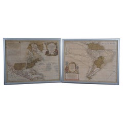
$2,250 Sale Price
25% Off
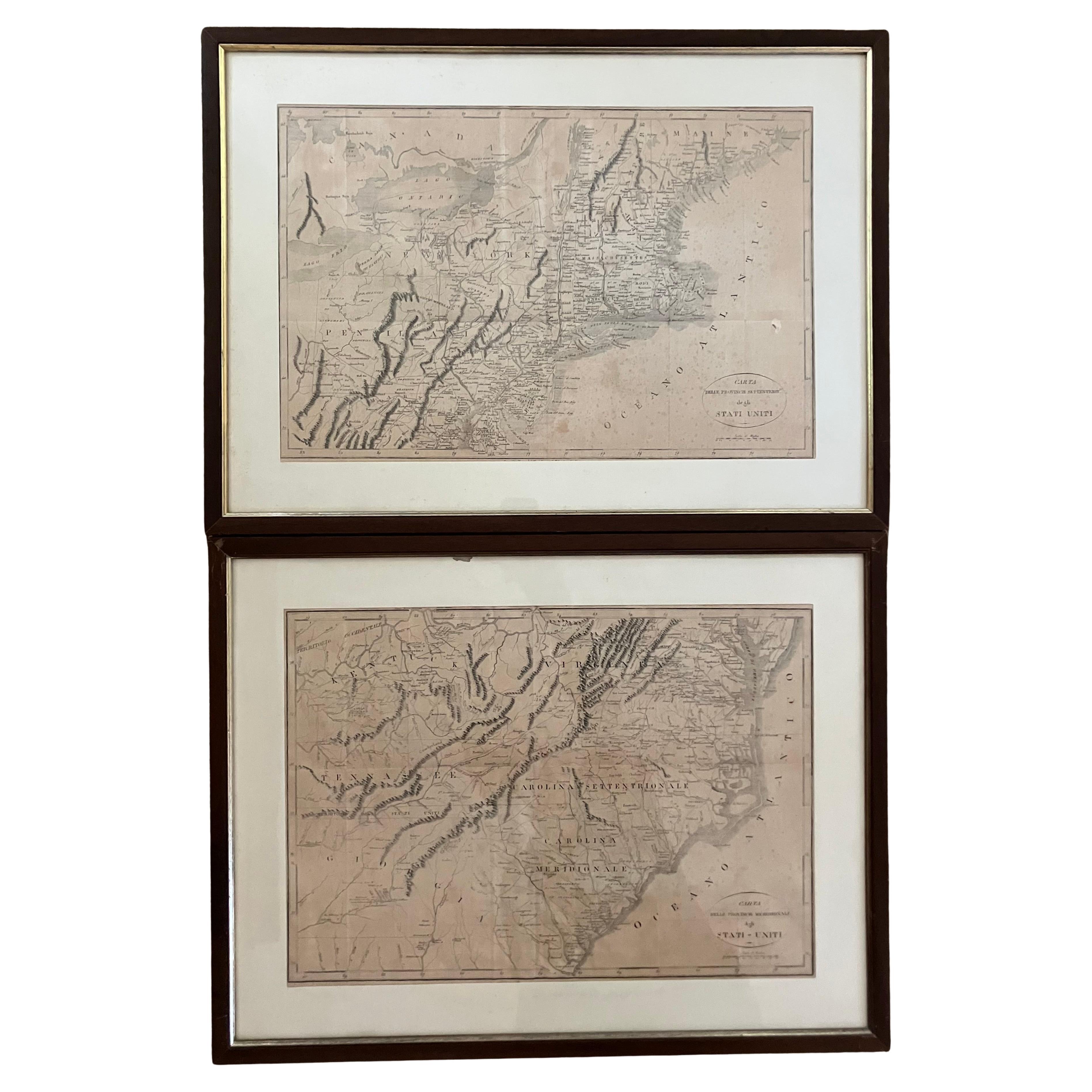
Pair Antique Italian Maps of the North American Eastern Seaboard
Located in New York, NY
Pair antique Italian maps of the North American Eastern Seaboard. Late 18th early 19th century original Italian documentation of the East Coast of the United States from Passamaquadd...
Category
Antique Late 18th Century Italian Maps
Materials
Wood, Paper

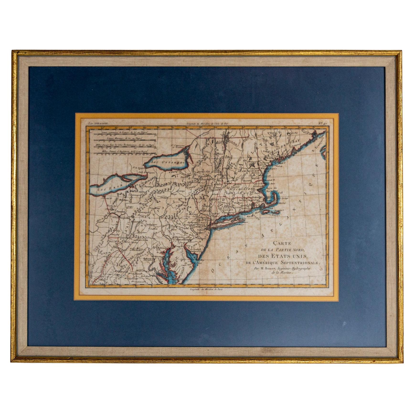
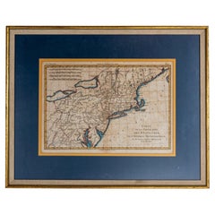
Hand-Colored French Map, Carte des Etats Unis, Par Bonne, Late 18th Century
By Rigobert Bonne
Located in Chappaqua, NY
Hand-colored French map, Carte de la Partie Nord, des Etats Unis, de l'Amérique Septentrionale, late 18th century. A French map of New England published at the end of the Revolutionary War...
Category
Antique Late 18th Century French Louis XVI Prints
Materials
Paper
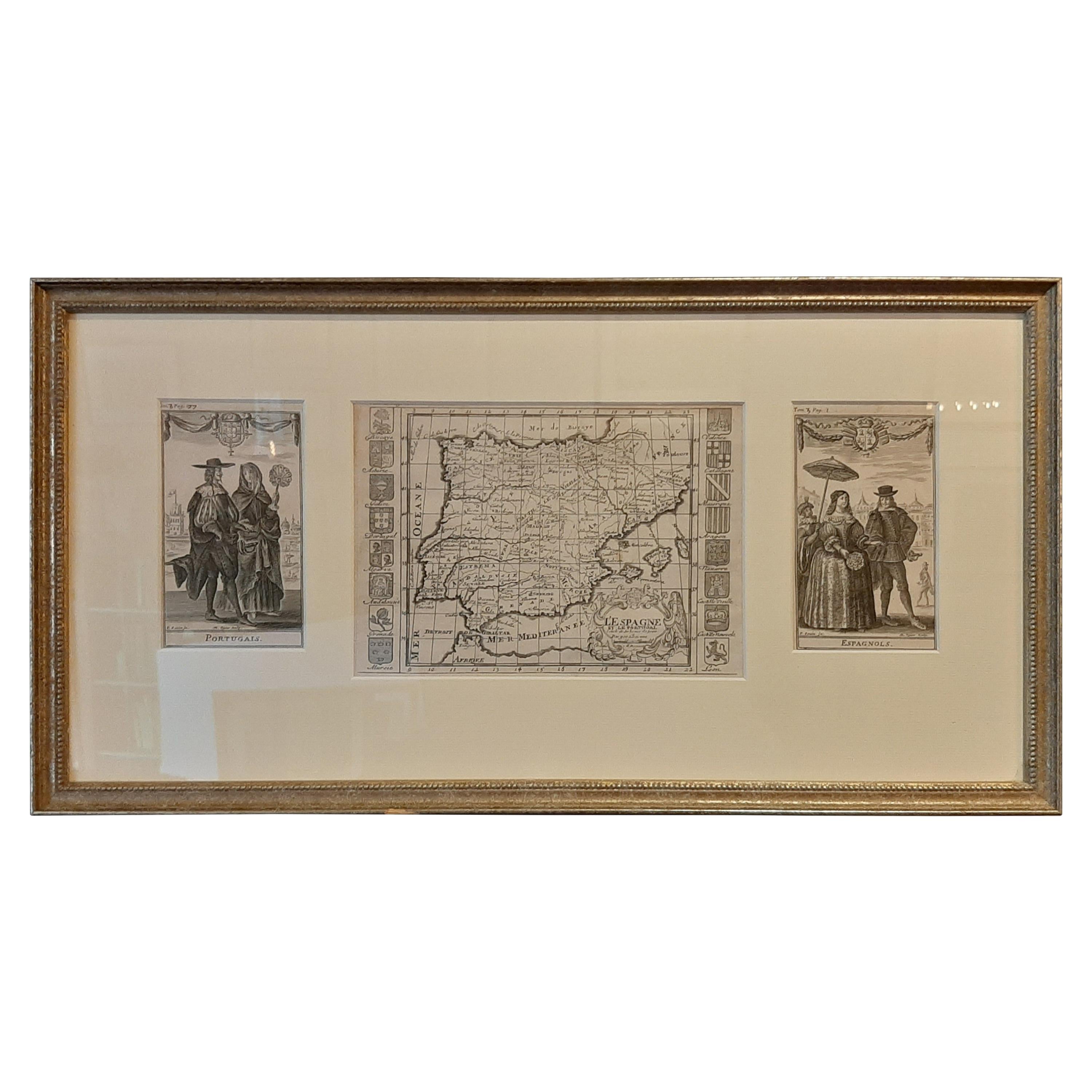
Set of 2 Costume Prints and a Map of Spain and Portugal, circa 1720
Located in Langweer, NL
Set of two costume prints and a map of Spain and Portugal. The costume prints show costumes of Portugal and Spain and originate from Nouvelle méthode pour apprendre la géographie uni...
Category
Antique Early 18th Century Maps
Materials
Paper
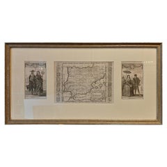
$429 Sale Price
20% Off
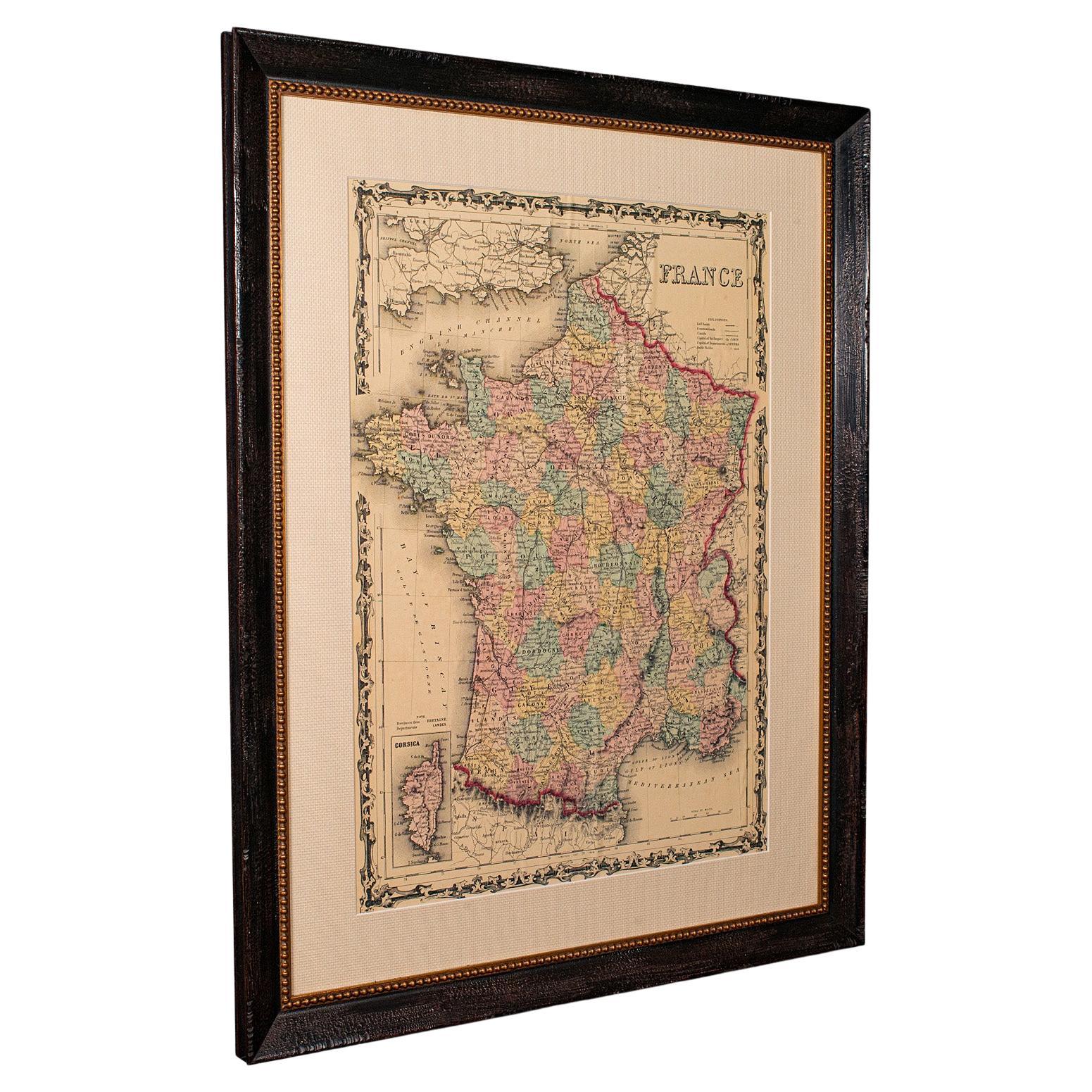
Large Vintage France Map, Continental, Historical Cartography, Late 20th Century
Located in Hele, Devon, GB
This is a large vintage map of France. A Continental, framed example of historical cartography, dating to the late 20th century, circa 1970.
Fas...
Category
Late 20th Century European Mid-Century Modern Prints
Materials
Glass, Wood, Paper

More Ways To Browse
Vintage And Antique Wall Decor And Decorations
Berlin Plaque
Black Forest Carved Table
Bronze Lion Clock
Burl Wood Cabinet Pair
Canada 18th Century
Carved Bottle Stopper
Carved Wooden Bracket
Chapel Door
Chinese Chest Red
Chinese Ming Chairs
Chinese Opium
Chinese Soldier
Chinese Tassel
Curtis Jere Metal Art
Decorative Balls Glass
Eames Book
Ebony Wood Carving