Vintage Surveyor's Map of Huntington Beach Harbor, Ca circa 1970
View Similar Items

1 of 8
Vintage Surveyor's Map of Huntington Beach Harbor, Ca circa 1970
About the Item
- Dimensions:Height: 23 in (58.42 cm)Width: 68 in (172.72 cm)Depth: 1 in (2.54 cm)
- Style:Mid-Century Modern (Of the Period)
- Materials and Techniques:
- Place of Origin:
- Period:
- Date of Manufacture:1970
- Condition:Minor fading. Professionally mounted and framed.
- Seller Location:Costa Mesa, CA
- Reference Number:1stDibs: LU1384229697982
Authenticity Guarantee
In the unlikely event there’s an issue with an item’s authenticity, contact us within 1 year for a full refund. DetailsMoney-Back Guarantee
If your item is not as described, is damaged in transit, or does not arrive, contact us within 7 days for a full refund. Details24-Hour Cancellation
You have a 24-hour grace period in which to reconsider your purchase, with no questions asked.Vetted Professional Sellers
Our world-class sellers must adhere to strict standards for service and quality, maintaining the integrity of our listings.Price-Match Guarantee
If you find that a seller listed the same item for a lower price elsewhere, we’ll match it.Trusted Global Delivery
Our best-in-class carrier network provides specialized shipping options worldwide, including custom delivery.You May Also Like
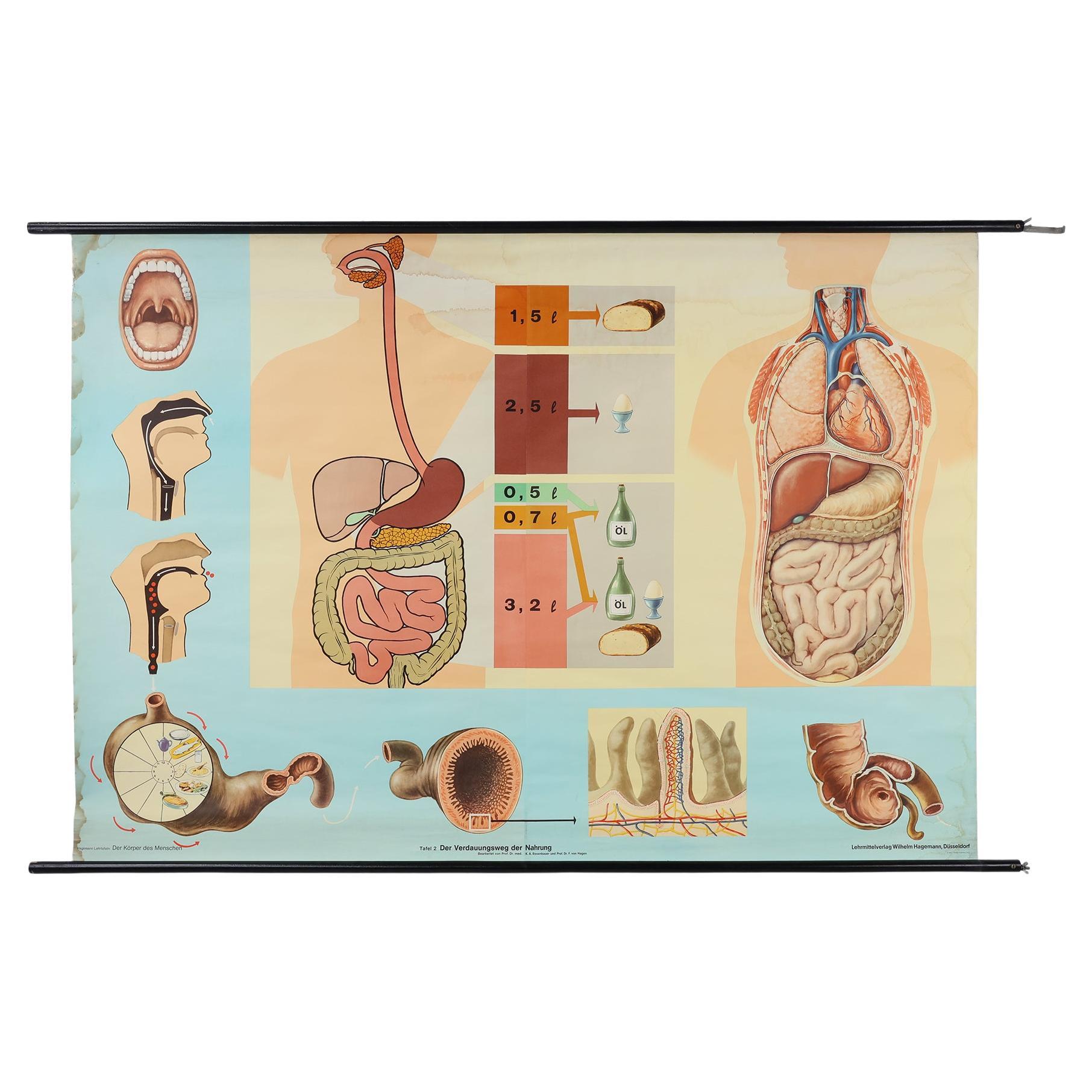
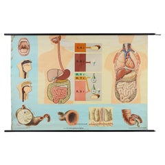
Vintage mid-century school map �“Digestion”, Germany ca. 1960
Located in Meulebeke, BE
Germany / 1960 / school map / canvas, wood / Mid-century / Vintage
A school wall map of the stomach, intestines and digestive system. With beautiful drawings and many details. Print...
Category
Vintage 1960s German Mid-Century Modern Posters
Materials
Canvas, Wood
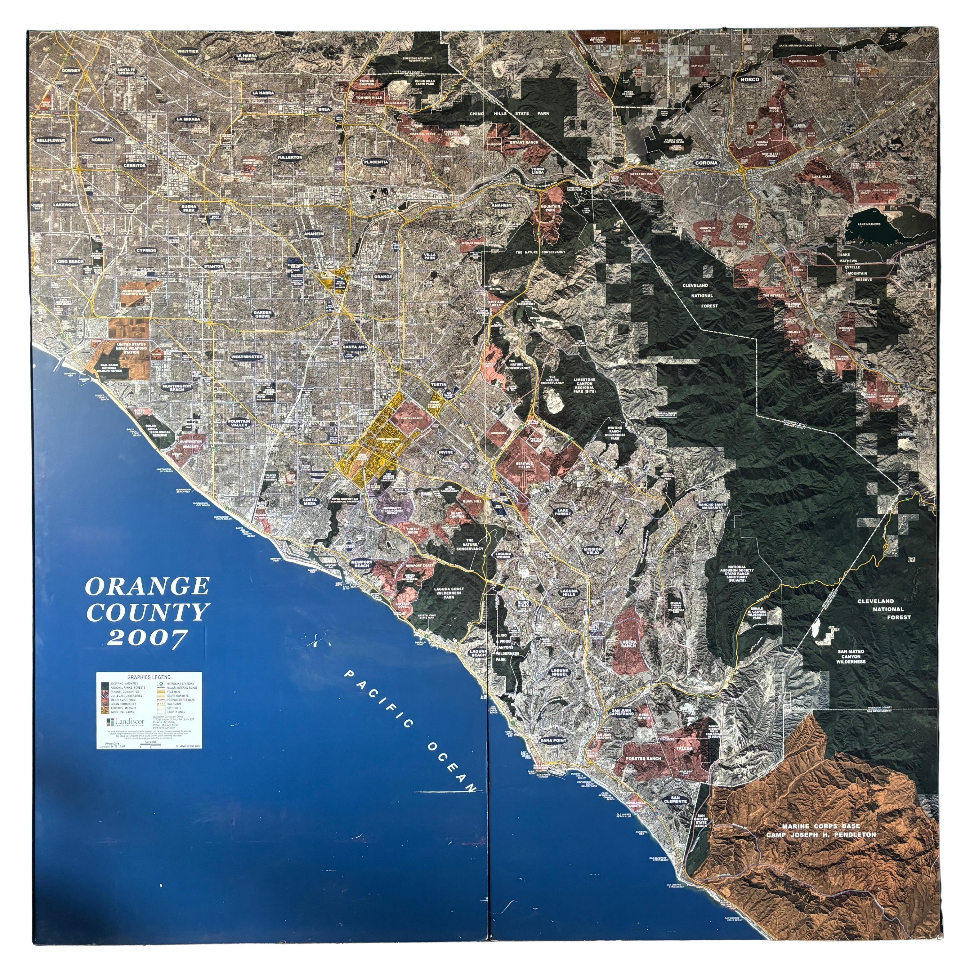
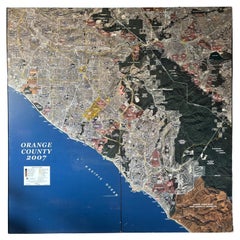
Large Format Map of Orange County, CA 2007
Located in Alhambra, CA
Killer Large Format Map of Orange County CA.
Two panels 90” h x 45” wide. Amazing detail.
Good vintage condition.
2007 Landiscor.
Category
21st Century and Contemporary American Post-Modern Posters
Materials
Paper
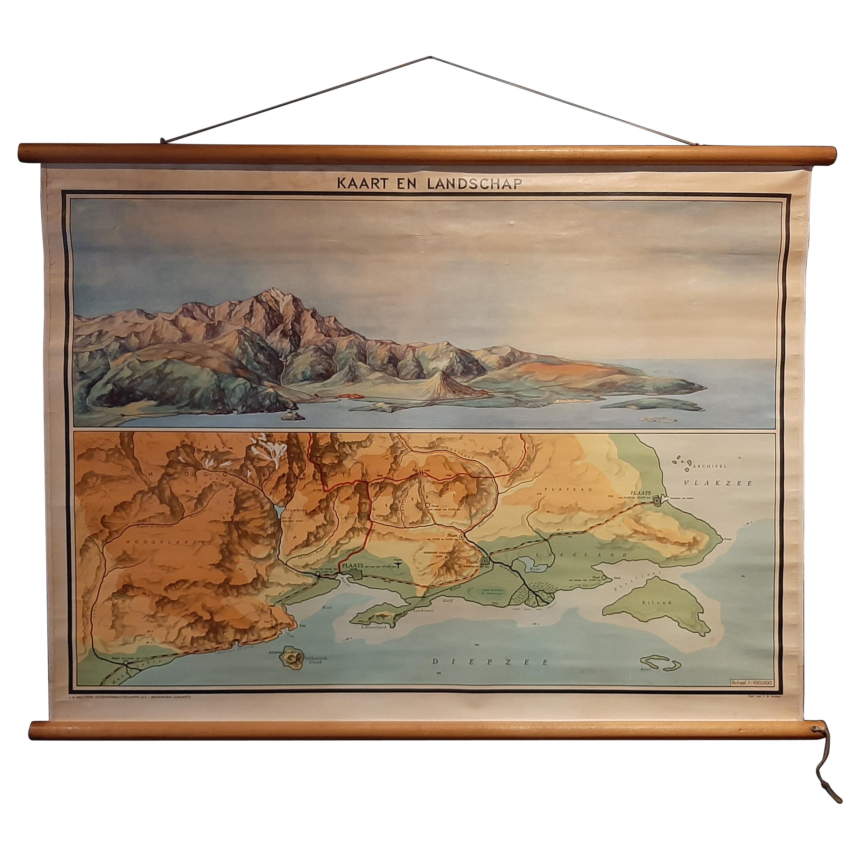
Vintage Wall Chart of a Landscape and Geographic Map, circa 1955
Located in Langweer, NL
Vintage wall chart titled 'Kaart en Landschap'. This wall chart shows a mountain range and geographic map. Published by J.B. Wolters, circa 1955.
Category
Mid-20th Century Prints
Materials
Paper

$559 Sale Price
20% Off
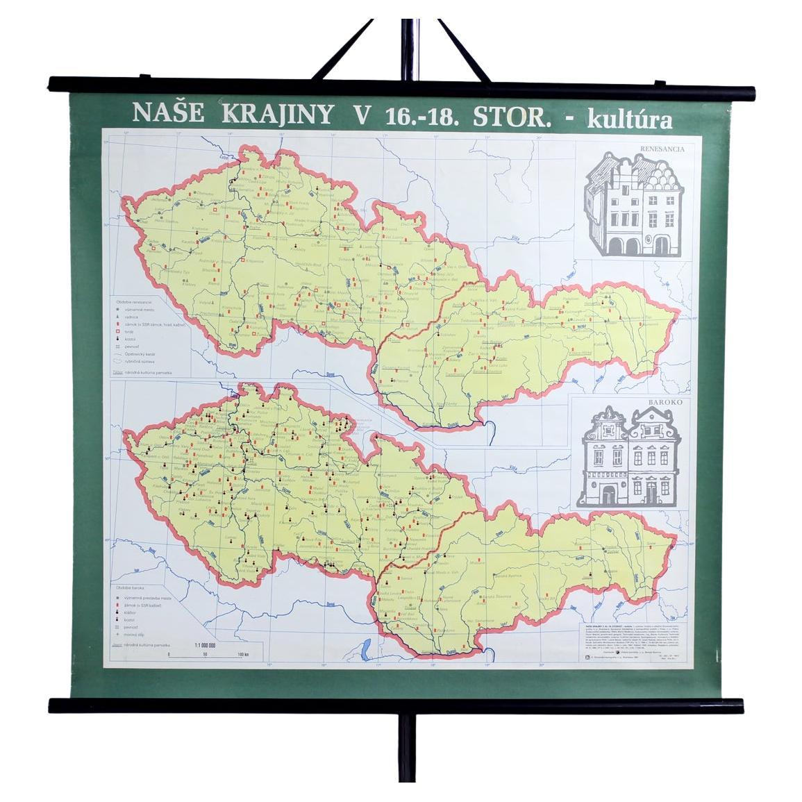
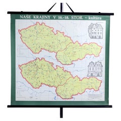
Vintage School Map of Czechoslovakia, 1960s
Located in Zohor, SK
This is a great vintage school map produced in Czechoslovakia by Skolske pomucky n.p., which was a national factory for producing the school items i...
Category
Vintage 1960s Slovak Mid-Century Modern Posters
Materials
Paper
$155 Sale Price
65% Off
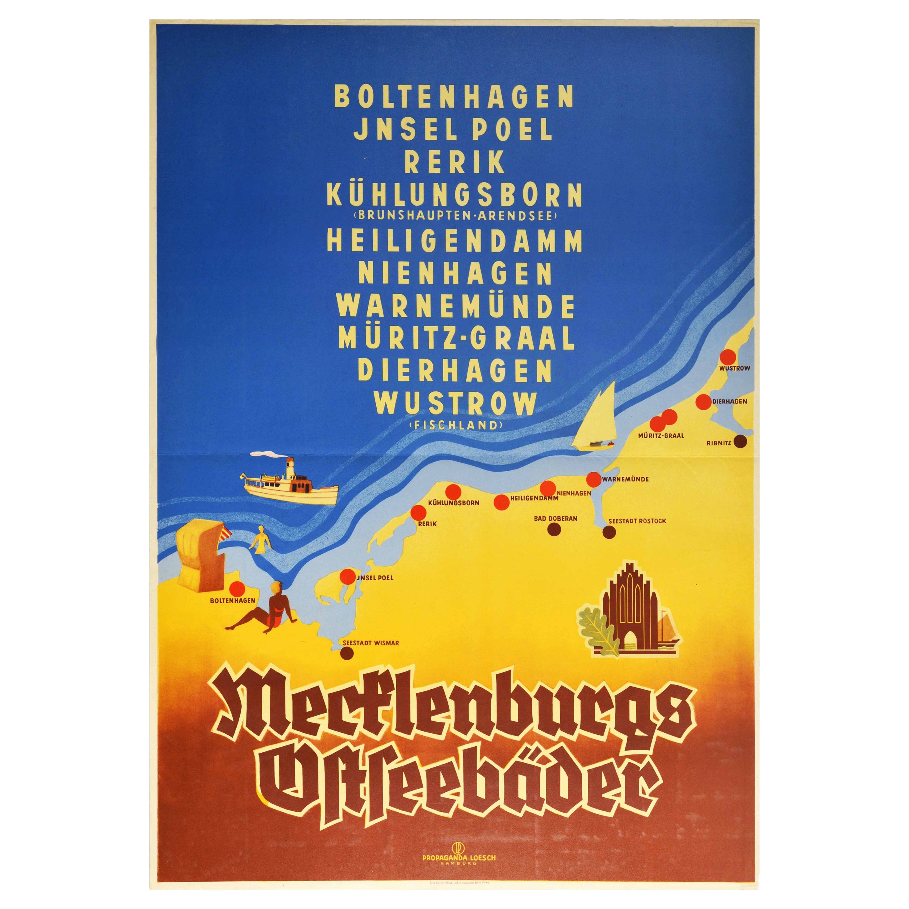
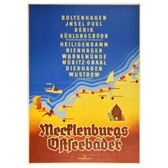
Original Vintage Poster Mecklenburg Germany Baltic Sea Beach Resorts Travel Map
Located in London, GB
Original vintage travel poster promoting Mecklenburg Baltic seaside resorts - Boltenhagel, Jnsel Poel island, Rerik, Kuhlungsborn (Brunshaupten-Arendsee), Heiligendamm, Nienhagen, Wa...
Category
Vintage 1930s German Art Deco Posters
Materials
Paper
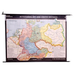
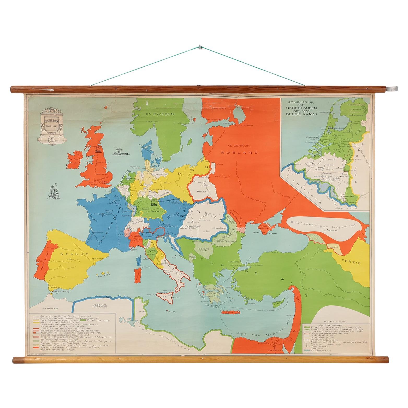
German Vintage school map of Central Europe, 1961
Located in Prague 8, CZ
Old Vintage school paper map of Central Europe. It was produced in 1961 in Germany.
Map has on top and bottom wooden slats. It´s in good Vintage condition.
Height: 147 cm
Width: 1...
Category
Mid-20th Century German Mid-Century Modern Posters
Materials
Wood, Paper