Items Similar to Antique Hand-Colored Print of a Spearman, 1842
Want more images or videos?
Request additional images or videos from the seller
1 of 6
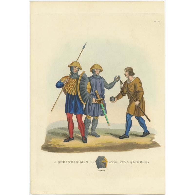
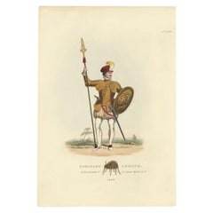
Antique Hand-Colored Print of a Spearman, 1842
About the Item
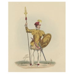
Antique print titled 'A Spearman, Man at Arms and a Slinger'. Old print of a spearman, slinger and man at arms. This print originates from 'A critical inquiry into antient armour as it existed in Europe (..)' by Sir Samuel Rush Meyrick.
Artists and Engravers: Published by Henry G. Bohn, York Street, Covent Garden.
Condition: Very good, general age-related toning. Please study image carefully.
Date: 1845
Overall size: 27 x 37 cm.
Image size: 22 x 25 cm.
We sell original antique maps to collectors, historians, educators and interior decorators all over the world. Our collection includes a wide range of authentic antique maps from the 16th to the 20th centuries. Buying and collecting antique maps is a tradition that goes back hundreds of years. Antique maps have proved a richly rewarding investment over the past decade, thanks to a growing appreciation of their unique historical appeal. Today the decorative qualities of antique maps are widely recognized by interior designers who appreciate their beauty and design flexibility. Depending on the individual map, presentation, and context, a rare or antique map can be modern, traditional, abstract, figurative, serious or whimsical. We offer a wide range of authentic antique maps for any budget.
- Dimensions:Height: 14.57 in (37 cm)Width: 10.63 in (27 cm)Depth: 0 in (0.01 mm)
- Materials and Techniques:
- Period:
- Date of Manufacture:1845
- Condition:Condition: Very good, general age-related toning. Please study image carefully.
- Seller Location:Langweer, NL
- Reference Number:
About the Seller
5.0
Platinum Seller
These expertly vetted sellers are 1stDibs' most experienced sellers and are rated highest by our customers.
Established in 2009
1stDibs seller since 2017
1,916 sales on 1stDibs
Typical response time: <1 hour
- ShippingRetrieving quote...Ships From: Langweer, Netherlands
- Return PolicyA return for this item may be initiated within 14 days of delivery.
More From This SellerView All
- Antique Print of a Spearman, Man at Arms and Slinger, 1842Located in Langweer, NLAntique print titled 'A Spearman, Man at Arms, and a Slinger'. Old print of ea spearma, slinger and man at arms. This print originates from 'A critical inquiry into antient armour as...Category
Antique 19th Century Prints
MaterialsPaper
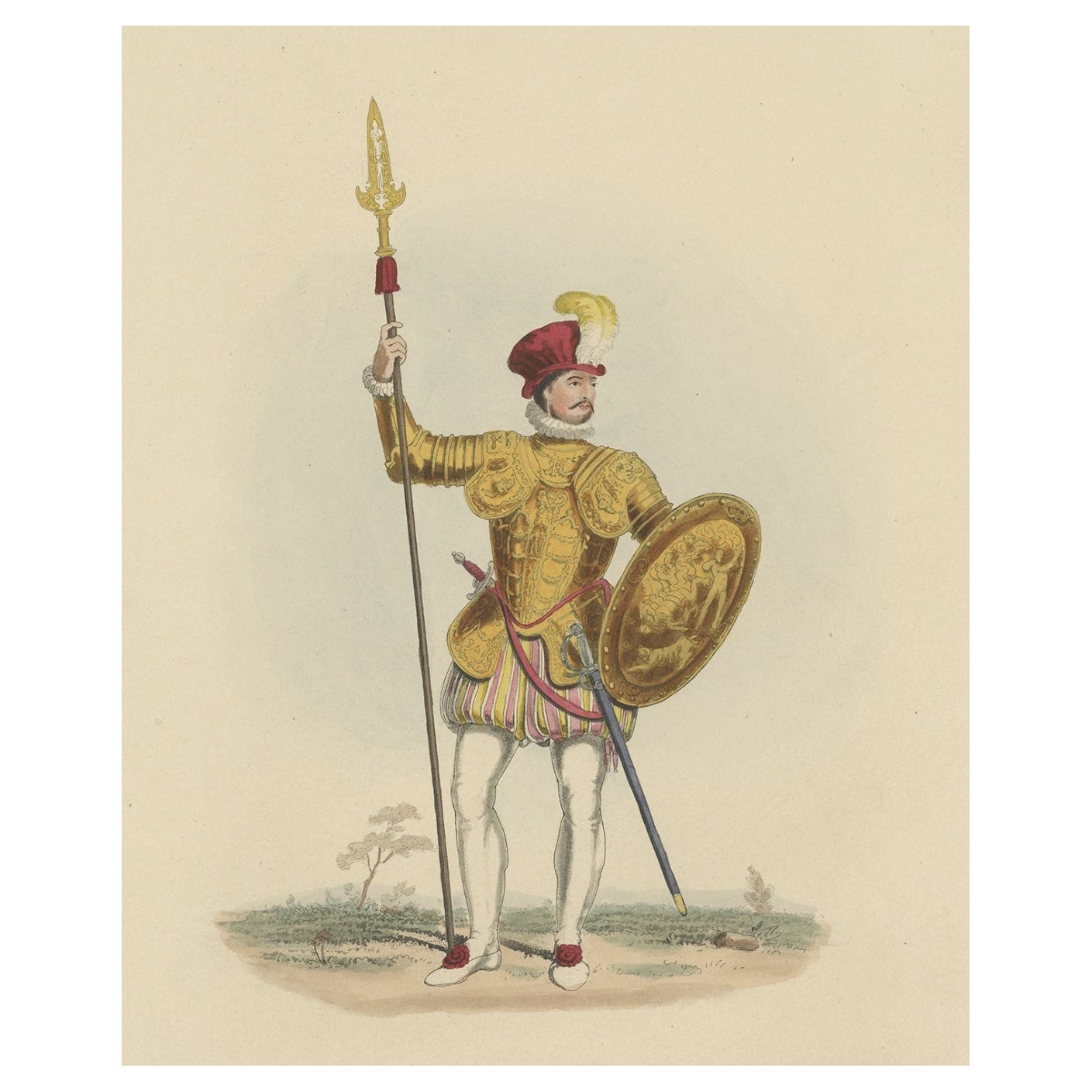
- Nicely Hand-colored Antique Print of Embossed Armour, 1842Located in Langweer, NLAntique print titled 'Embossed Armour, in the possession of Sir Samuel Meyrick K.H.'. Old print of embossed armour. This print originates from 'A criti...Category
Antique 19th Century Prints
MaterialsPaper
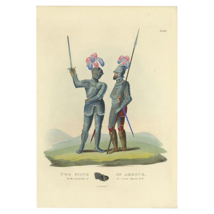
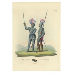
- Antique Hand-Colored Print of Two Suits of Armour, 1842Located in Langweer, NLAntique print titled 'Two Suits of Armour, in the possession of Sir Samuel Meyrick K.H.'. Old print of two suits of armour. This print originates from 'A critical inquiry into antien...Category
Antique 19th Century Prints
MaterialsPaper
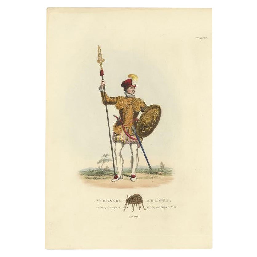
- Antique Hand-Colored Print of a Knight in Embossed Armour, (1842)Located in Langweer, NLAntique print titled 'Embossed Armour, in the possession of Sir Samuel Meyrick K.H.'. Old print of embossed armour. This print originates from 'A criti...Category
Antique 19th Century Prints
MaterialsPaper
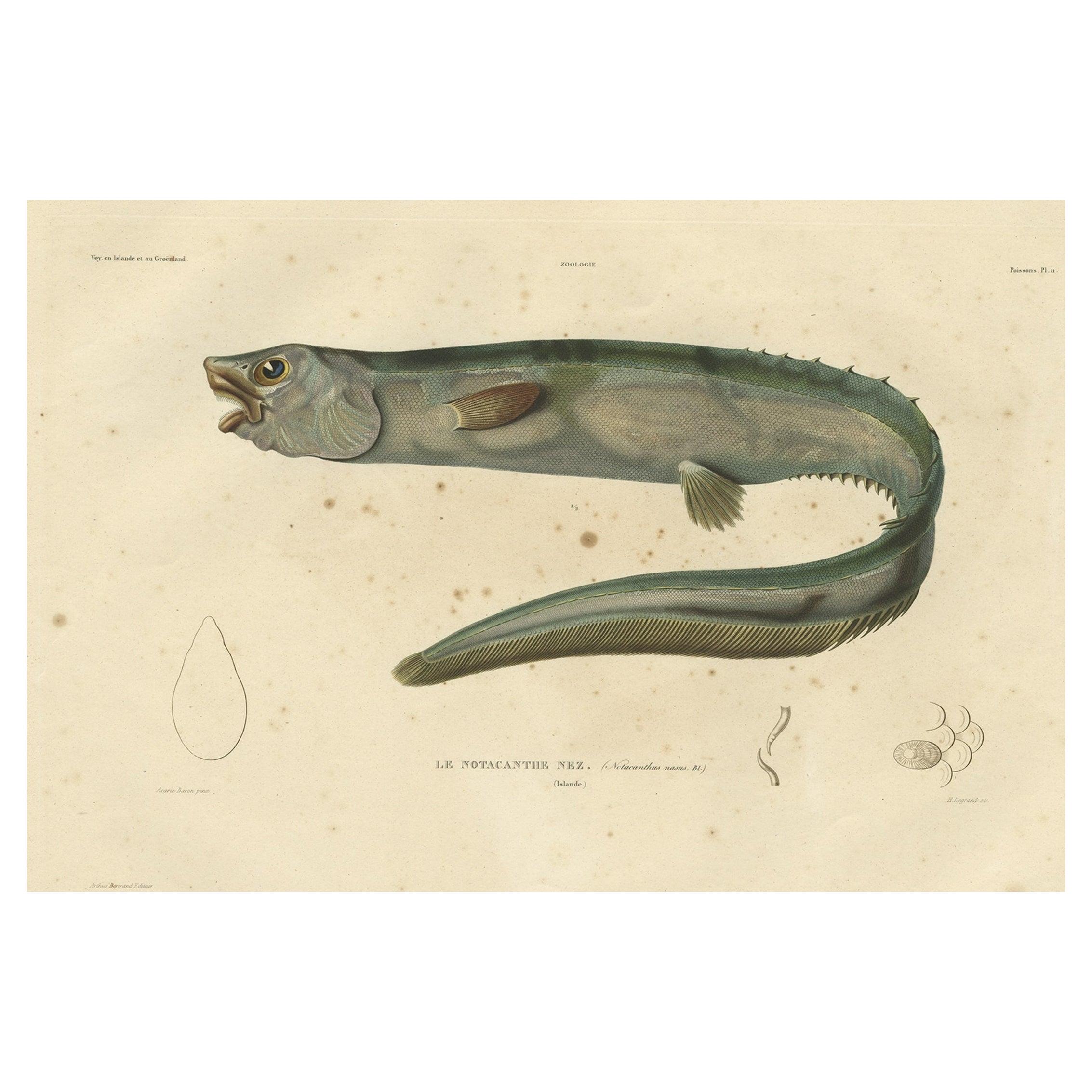
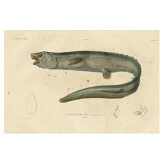
- Antique Hand-Colored Fish Print of the Snub-Nosed Spiny Eel, 1842Located in Langweer, NLAntique print, titled: 'Poissons Plate 11 - Le Notacanthe Nez (Notacanthus nasus).' - This rare plate shows the snub-nosed spiny eel (Notacanthus chemnitzii). From: 'Voyage en Island...Category
Antique 1840s Prints
MaterialsPaper
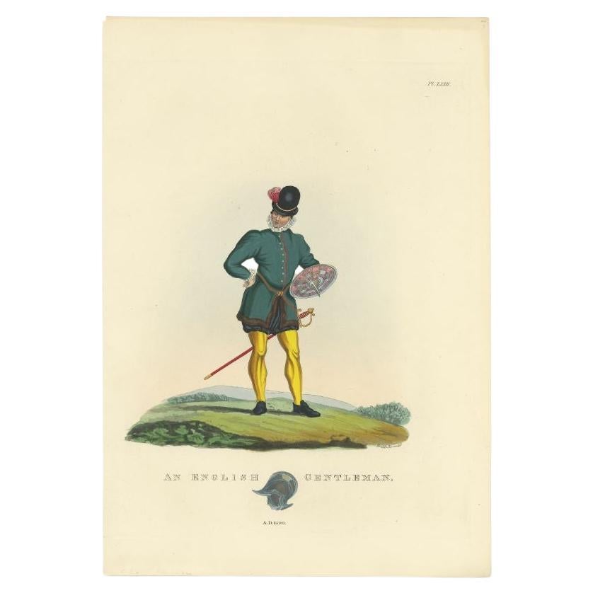
- Antique Hand-Colored Print of an English Gentleman with Sable and Shield, 1842Located in Langweer, NLAntique print titled 'An English gentleman'. Old print of an English gentleman. This print originates from 'A critical inquiry into antient armour as it existed in Europe (..)' by Si...Category
Antique 19th Century Prints
MaterialsPaper


You May Also Like
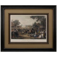
- "Raising the Liberty Pole" Hand-Colored Antique Print, 1875Located in Colorado Springs, COThis nineteenth-century engraving shows a liberty pole being raised in a town square in 1776, while a sign bearing the face of King George III is removed in the background. The rioto...Category
Antique 1870s American Historical Memorabilia
MaterialsPaper
- Antique Albertus Seba Pair 18th Century Hand-Colored Engravings ButterflyBy Albertus Seba 1Located in Washington, DCRare pair of original hand-colored prints from Sir Albertus Seba's cabinet of natural curiosities. Prints come from published volumes in Amste...Category
Antique Mid-18th Century Dutch Prints
MaterialsPaper
- England, Scotland & Ireland: A Hand Colored Map of Great Britain by TirionBy Isaak TirionLocated in Alamo, CAThis is a hand-colored double page copperplate map of Great Britain entitled "Nieuwe Kaart van de Eilanden van Groot Brittannien Behelzende de Kon...Category
Antique Mid-18th Century Dutch Maps
MaterialsPaper
- Captain Cook's Exploration of Tahiti 18th C. Hand-Colored Map by BellinBy Jacques-Nicolas BellinLocated in Alamo, CAThis beautiful 18th century hand-colored copper plate engraved map is entitled "Carte de l'Isle de Taiti, par le Lieutenant J. Cook" was created by Jacques Nicolas Bellin and publish...Category
Antique Mid-18th Century French Maps
MaterialsPaper
- Sweden & Adjacent Portions of Scandinavia: A Hand-Colored 18th C. Map by HomannBy Johann Baptist HomannLocated in Alamo, CAThis hand-colored map of Sweden and adjacent portions of Scandinavia entitled "Regni Sueciae in Omnes suas Subjacentes Provincias accurate divisi Tabula Generalis" was created by Joh...Category
Antique 1720s German Maps
MaterialsPaper
- "Africae Accurata", a Hand-Colored 17th Century Map of Africa by VisscherBy Nicolaes Visscher IILocated in Alamo, CAAn 18th century hand-colored map of Africa entitled "Africae Accurata Tabula ex officina" by Nicolaes Visscher, published in Amsterdam in 1680. This beautiful, colorful and detailed map is embellished by eleven sailing ships, a whale, flying fish and multiple land animals. It includes the Mediterranean Sea and adjacent portions of Portugal, Spain, Italy, Greece and Asia Minor. The map perpetuates several long-standing errors, including the origin of the Nile River from two imaginary lakes in southern Africa, which are shown adjacent to the imaginary Lunae Montes (Mountains of the Moon...Category
Antique Late 17th Century Dutch Maps
MaterialsPaper


Recently Viewed
View AllMore Ways To Browse
16th Century Hand Colored Map
Wall Bracket Italy
Vintage 1960s Suit
Pair Of Chinese Cabinets
Antique Corner Shelf Cabinet
Retro Door Plates
Pair Of China Cabinets
Large Storage Box
3 Door Glass Cabinet
18th Century Louis Xv Commode
Four Sided Glass Cabinet
Circular Dress
Inlaid Chest Of Drawers French
Antique English Drawer Pulls
Georgian Chest On Chest
Side Cutout
18th Century Louis Xv Chest
Deco Plaque