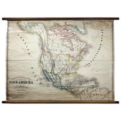
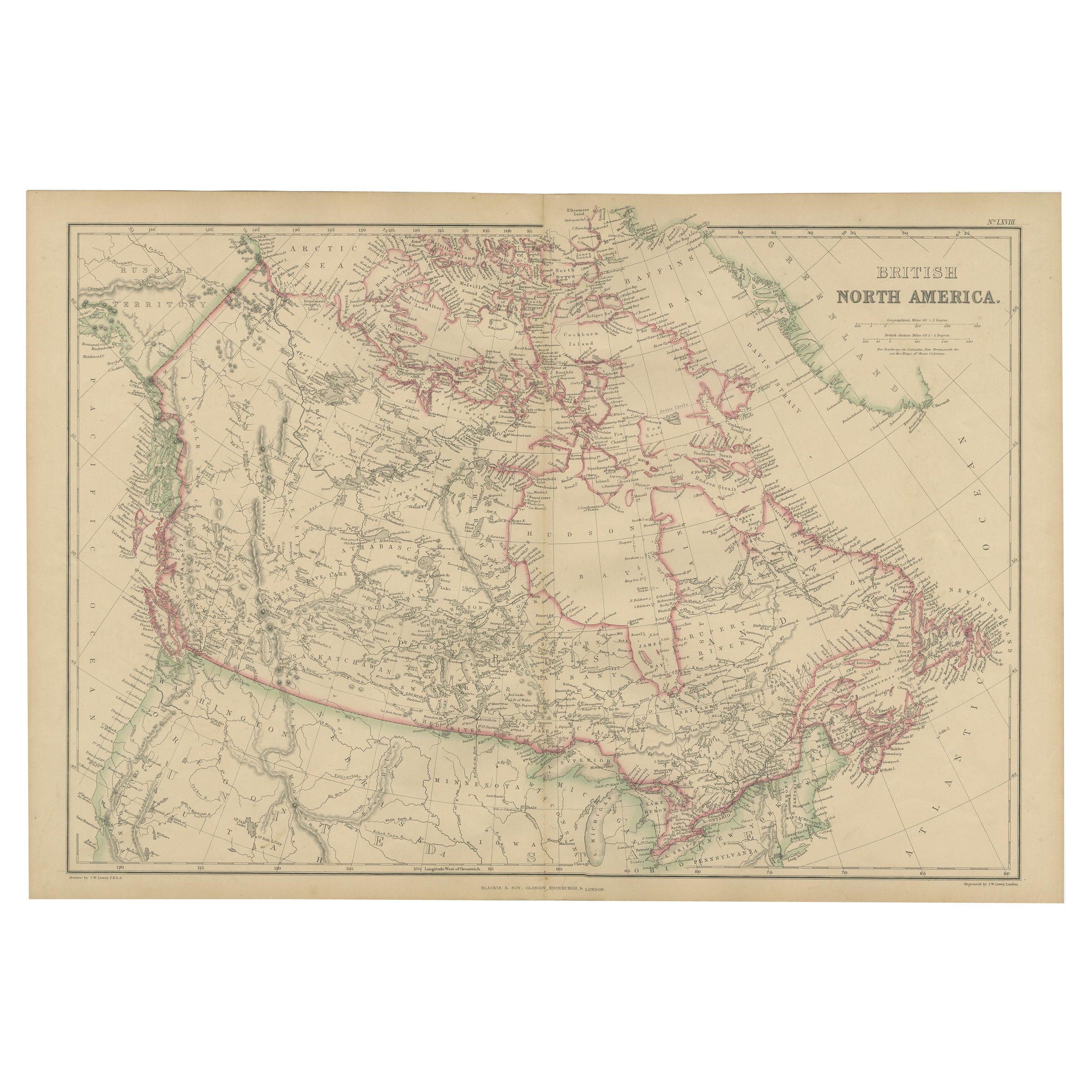
Antique Mid-19th Century Wall Map of North America by Lienhart Holle
View Similar Items


1 of 5
Antique Mid-19th Century Wall Map of North America by Lienhart Holle
About the Item
- Dimensions:Height: 44.1 in (112 cm)Width: 54.73 in (139 cm)Depth: 0.79 in (2 cm)
- Style:Biedermeier (Of the Period)
- Place of Origin:
- Period:
- Date of Manufacture:circa 1870
- Condition:Wear consistent with age and use. Minor losses. Minor structural damages. Minor fading.
- Seller Location:Vienna, AT
- Reference Number:1stDibs: LU166523882522
You May Also Like
- Antique Map of North America, 1821Located in Langweer, NLAntique map of America titled 'Carte de l'Amerique septentrionale'. Scarce map of North America, shortly after the Louisiana Purchase and the first ...Category
Antique 19th Century Maps
MaterialsPaper
- Antique Map of North America by Johnson, '1872'Located in Langweer, NLAntique map titled 'Johnson's North America'. Original map of North America, with an inset map of the Hawaiian group or Sandwich Islands. This map originates from 'Johnson's New Illu...Category
Antique Late 19th Century Maps
MaterialsPaper
 $351 Sale Price20% Off
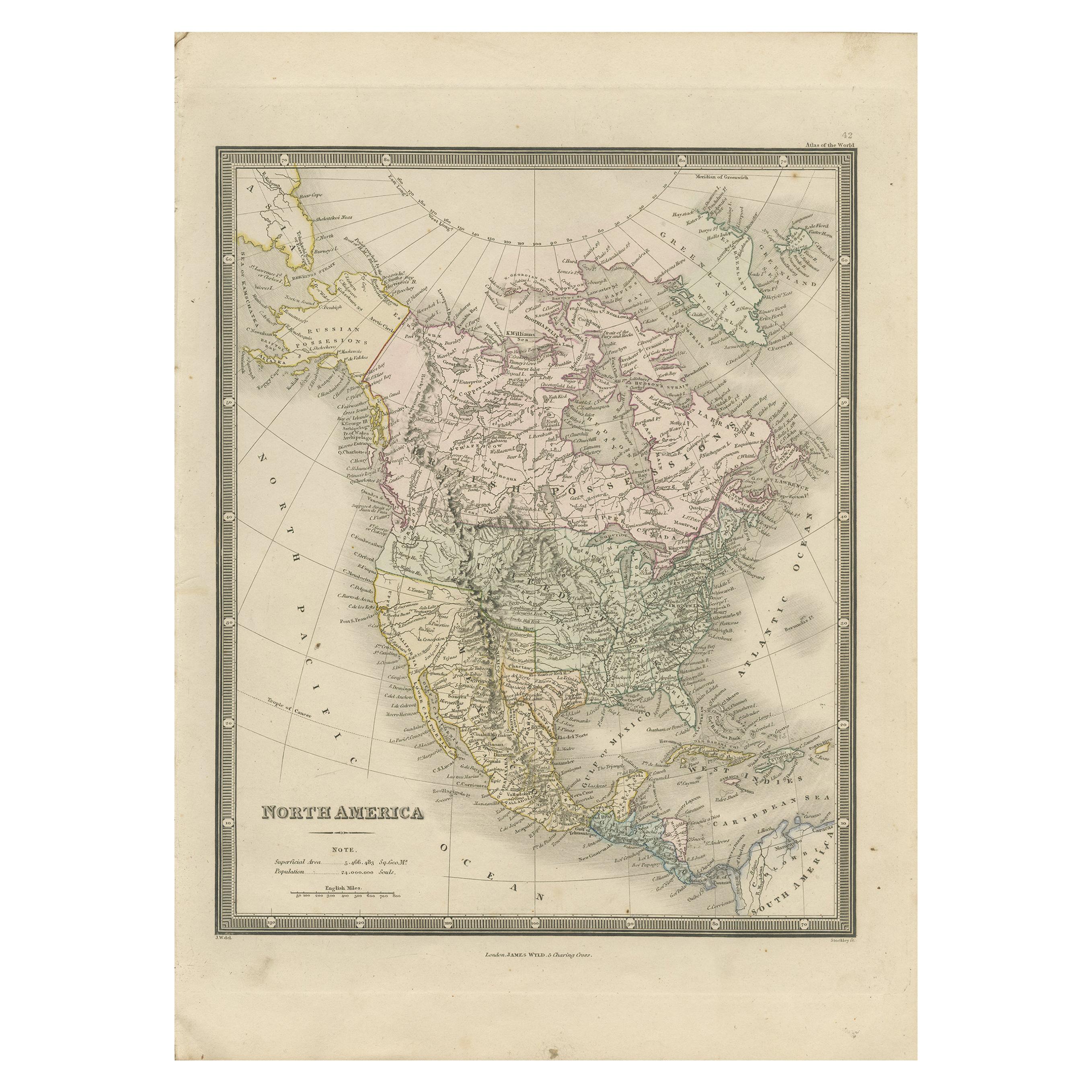
 - Antique Map of North America by Wyld '1845'Located in Langweer, NLAntique map titled 'North America'. Original antique map of North America. This map originates from 'An Atlas of the World, Comprehending ...Category
Antique Mid-19th Century Maps
MaterialsPaper
 $179 Sale Price34% Off
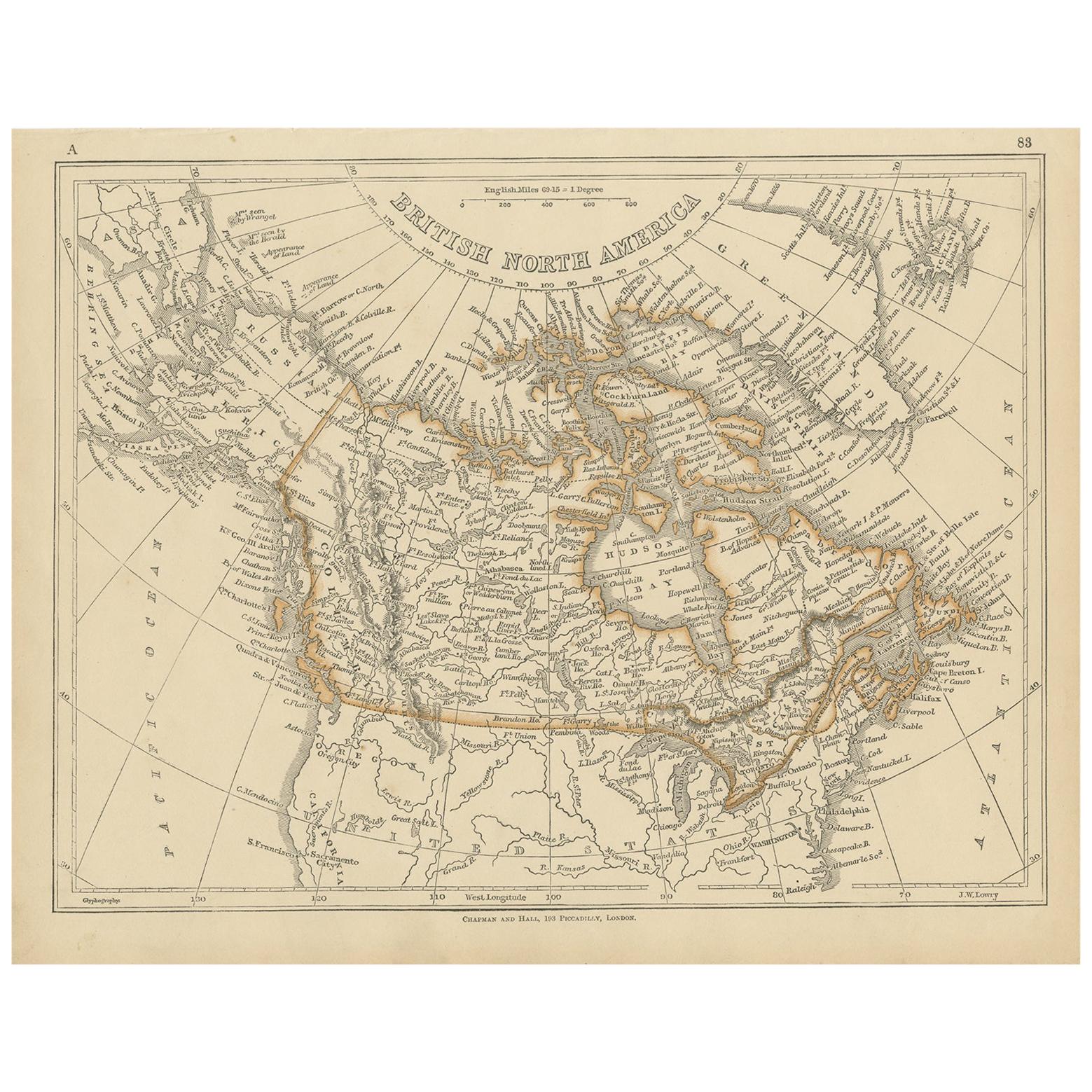
 - Antique Map of North America by Lowry '1852'Located in Langweer, NLAntique map titled 'North America'. Original map of North America. This map originates from 'Lowry's Table Atlas constructed and engraved from the...Category
Antique Mid-19th Century Maps
MaterialsPaper
- Antique Map of North America by Lapie '1842'Located in Langweer, NLAntique map titled 'Carte de l'Amérique septentrionale'. Map of North America, with an inset map of the Aleutian Islands. This map originates from 'Atlas universel de géographie anci...Category
Antique Mid-19th Century Maps
MaterialsPaper
- Antique Map of North America by Levasseur '1875'Located in Langweer, NLAntique map titled 'Carte générale de l'Amérique Septentrionale'. Large map of North America. This map originates from 'Atlas de Géographie Modern...Category
Antique Late 19th Century Maps
MaterialsPaper


