Items Similar to Antique Print of Liège / Luik in Belgium by Braun & Hogenberg, 1575


Want more images or videos?
Request additional images or videos from the seller
1 of 6
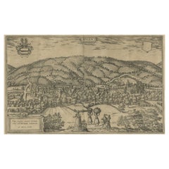
Antique Print of Liège / Luik in Belgium by Braun & Hogenberg, 1575
About the Item
Antique print titled 'Leodium'. View of Liège / Luik, Belgium with surrounding hills and the city wall. With text explaining the origins of Liège, a cartouche expressing thanks to the bisshop of Liège, Gerhard von Groesbeck, and a key to locations. Originates from 'Civitates Orbis Terrarum'.
Artists and Engravers: Georg Braun (1542-1622), a German publisher and Frans Hogenberg issued the famous six volume town book "Civitates Orbis Terrarum" between 1572 and 1618. The volumes originally published in Latin, follow by German and French translations. Franz Hogenberg (1533-1588) was the son of a Munich engraver who settled in Malines. He engraved most of the plates for Ortelius' Theatrum and the majority of those in the Civitates, and may have been responsible for originating the project. Worked and died in Cologne/Germany. He was a prolific copper engraver and etching artist of maps and town views. In cooperation with Georg Braun he created the first four volumes of the Civitates Orbis Terrarum in 1572.
Condition: Good, Latin text on verso. General age-related toning. Minor wear, mainly on folding line and margins. Please study image carefully.
Date: 1575
Overall size: 59.5 x 40 cm.
Image size: 48 x 33 cm.
Antique prints have long been appreciated for both their aesthetic and investment value. They were the product of engraved, etched or lithographed plates. These plates were handmade out of wood or metal, which required an incredible level of skill, patience and craftsmanship. Whether you have a house with Victorian furniture or more contemporary decor an old engraving can enhance your living space. We offer a wide range of authentic antique prints for any budget.
- Dimensions:Height: 15.75 in (40 cm)Width: 15.56 in (39.5 cm)Depth: 0 in (0.01 mm)
- Materials and Techniques:
- Period:
- Date of Manufacture:1575
- Condition:Condition: Good, Latin text on verso. General age-related toning. Minor wear, mainly on folding line and margins. Please study image carefully.
- Seller Location:Langweer, NL
- Reference Number:
About the Seller
5.0
Platinum Seller
These expertly vetted sellers are 1stDibs' most experienced sellers and are rated highest by our customers.
Established in 2009
1stDibs seller since 2017
1,928 sales on 1stDibs
Typical response time: <1 hour
- ShippingRetrieving quote...Ships From: Langweer, Netherlands
- Return PolicyA return for this item may be initiated within 14 days of delivery.
More From This SellerView All
- Antique Map of Douai 'France' by Braun & Hogenberg, circa 1575Located in Langweer, NLBeautiful map in excellent condition. This map depicts the city of Douai (France) and originates from 'Civitates Orbis Terrarum'.Category
Antique 16th Century Maps
MaterialsPaper
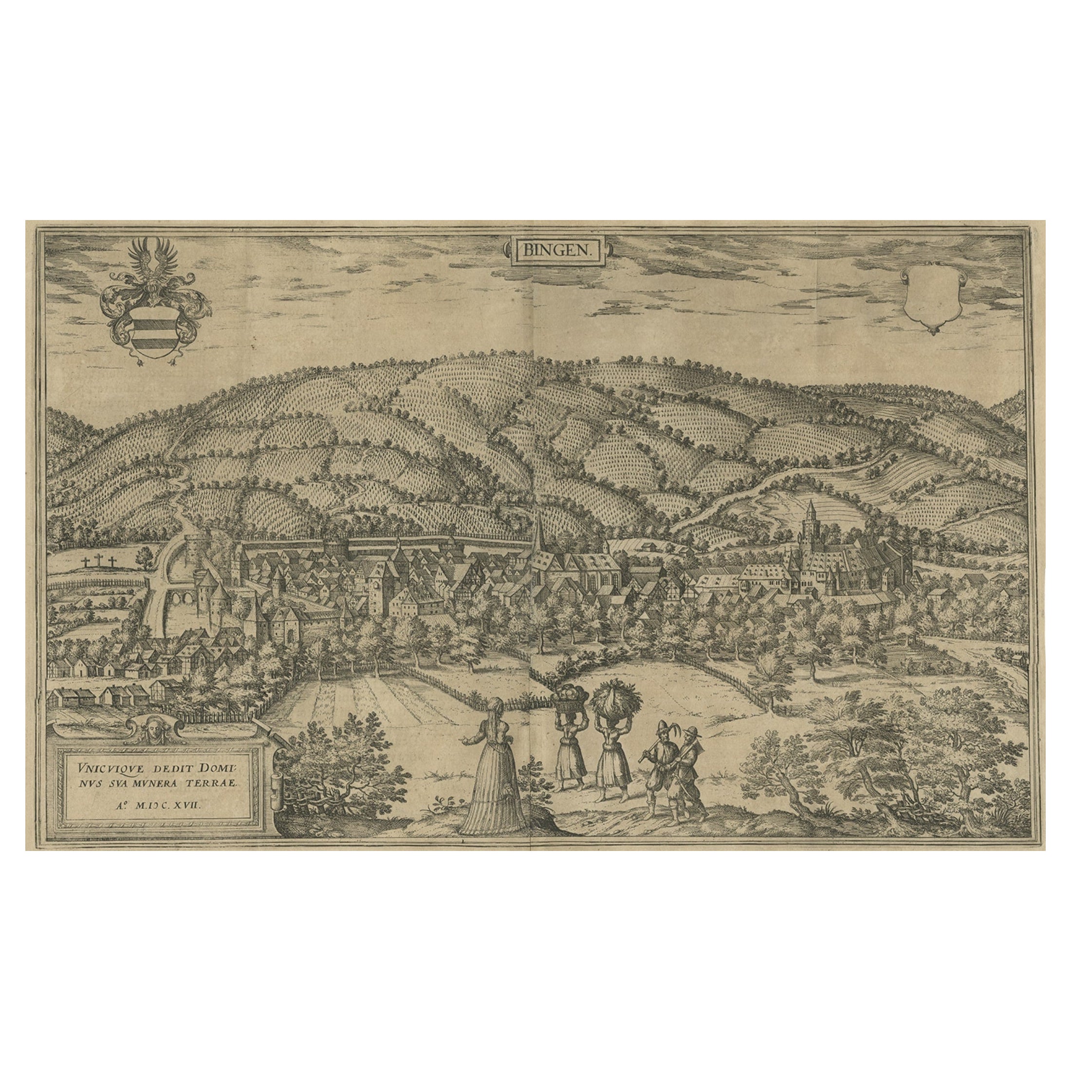
- Antique Print of Büdingenin Germany by Braun & Hogenberg, 1617Located in Langweer, NLAntique map titled 'Bingen'. Bird's eye-view of Büdingen, Germany. The view shows a city surrounded by vineyards and well fortified with walls and moats. On the right is the castle w...Category
Antique 17th Century Prints
MaterialsPaper
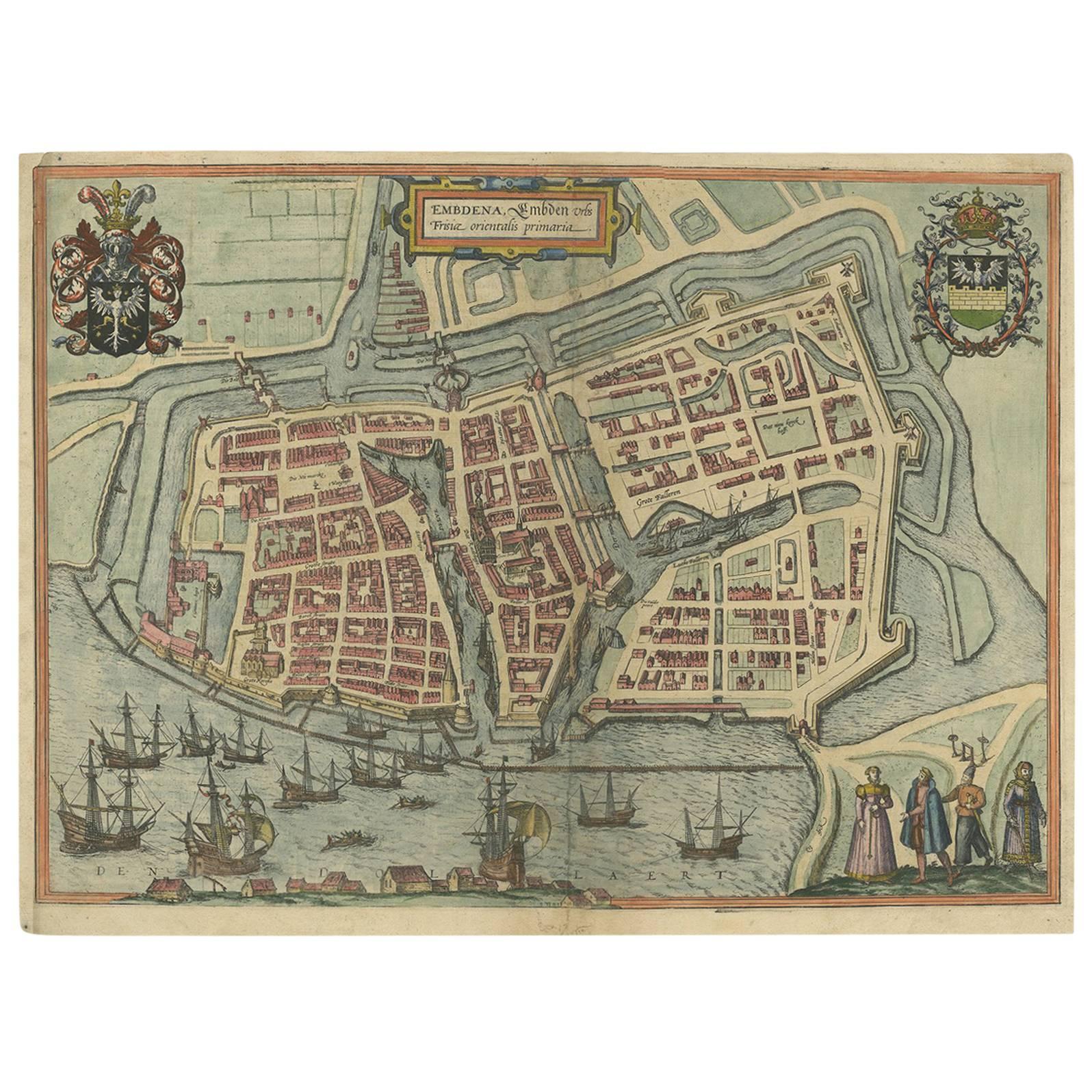
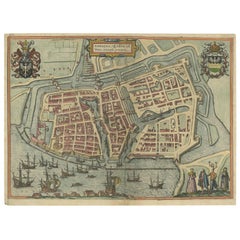
- Antique Town Plan of Emden ‘Germany’ by Braun & Hogenberg, 1597Located in Langweer, NLAntique map titled 'Embdena (..)'. Old, antique bird's-eye view plan of Emden, Germany. This bird's-eye view from the southwest over the Dollart shows Emden, which developed from a trading settlement in the 7th/8th centuries into a city as late as late 14th century. In 1494 it was granted staple rights, and in 1536 the harbour was extended. In the mid-16th century Emden's port was thought to have the most ships in Europe. Its population then was about 5,000, rising to 15,000 by the end of the 16th century. The Ems flowed directly under the city walls, but its course was changed in the 17th century by the construction of a canal. Emden has canals within its city limits, a typical feature of Dutch towns, which also enabled the extension of the harbour. Emden's first herring company was founded in 1553, and in 1595 Emden was created a Free Imperial City under the protection of Holland. Published by Braun...Category
Antique 16th Century Maps
MaterialsPaper
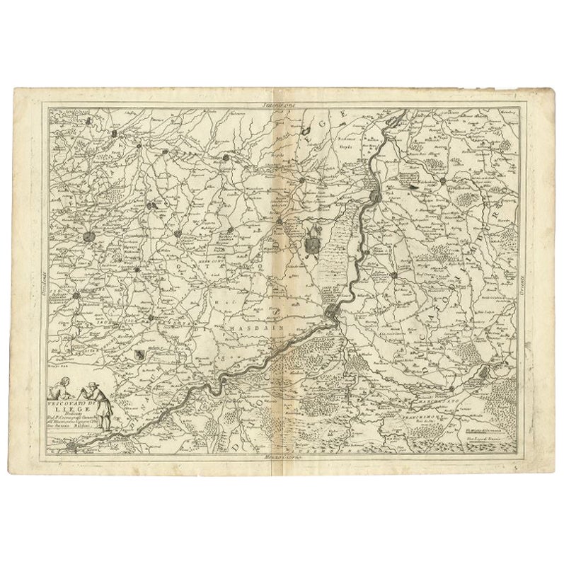
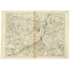
- Antique Map of the Region of Liege by Coronelli, 1690By Vincenzo CoronelliLocated in Langweer, NLAntique map titled 'Vescovato di Liege (..)'. Map of the Belgium area centered on Liege and the course of Meuse/Maas River. Also depicts the cities of Maastricht, Namur and Tienen. O...Category
Antique 17th Century Maps
MaterialsPaper
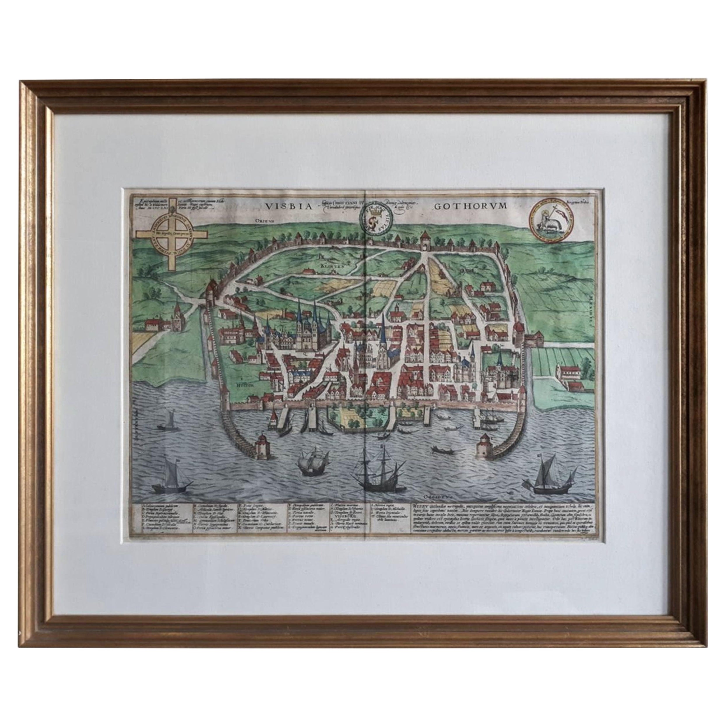
- Antique Map of the City of Visby 'Sweden' by F. Hogenberg, 1598Located in Langweer, NLThis is a wonderful bird's-eye plan/view of the oldest city in Sweden. Visby, the largest city on the island of Gotland was an important Viking city and the main centre of the Ha...Category
Antique 16th Century Maps
MaterialsPaper
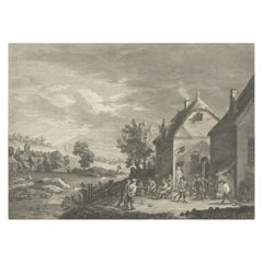
- Original Antique Print of People Playing Games in Flanders, Belgium, 1774Located in Langweer, NLAntique print titled 'La récréation Flamande'. Original antique print of people playing games in Flanders, Belgium. Published 1774. Artists and En...Category
Antique 1770s Prints
MaterialsPaper

You May Also Like
- 17th Century Hand Colored Map of the Liege Region in Belgium by VisscherBy Nicolaes Visscher IILocated in Alamo, CAAn original 17th century map entitled "Leodiensis Episcopatus in omnes Subjacentes Provincias distincté divisusVisscher, Leodiensis Episcopatus" by Nicolaes Visscher II, published in Amsterdam in 1688. The map is centered on Liege, Belgium, includes the area between Antwerp, Turnhout, Roermond, Cologne, Trier and Dinant. This attractive map is presented in a cream-colored mat measuring 30" wide x 27.5" high. There is a central fold, as issued. There is minimal spotting in the upper margin and a tiny spot in the right lower margin, which are under the mat. The map is otherwise in excellent condition. The Visscher family were one of the great cartographic families of the 17th century. Begun by Claes Jansz Visscher...Category
Antique Late 17th Century Dutch Maps
MaterialsPaper
- Original Antique Map of Belgium by Tallis, Circa 1850Located in St Annes, LancashireGreat map of Belgium Steel engraving Many lovely vignettes Published by London Printing & Publishing Co. ( Formerly Tallis ), C.1850 Origin...Category
Antique 1850s English Maps
MaterialsPaper
- Antique Shooting Print by Archibald ThorburnBy Archibald ThorburnLocated in Oxfordshire, GBPartridge shooting picture by Archibald Thorburn. A game bird photogravure titled 'Coming Over The Guns (Partridge Driving)' by Archibald Thorburn. The partridge shooting picture is...Category
Antique Early 1900s English Sporting Art Sports Equipment and Memorabilia
MaterialsPaper
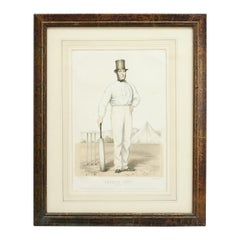
- Antique Cricket Print of Joseph Guy of NottinghamLocated in Oxfordshire, GBCricket print of Joseph Guy of Nottingham. A framed, tinted and hand colored lithographic portrait of the All- England cricketer Joseph Guy (1813 - 187...Category
Antique 1850s British Sporting Art Sports Equipment and Memorabilia
MaterialsPaper
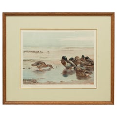
- Antique Wildfowl Print Mallards Feeding by Archibald ThorburnLocated in Oxfordshire, GBMallards by Archibald Thorburn. A framed wildfowl colotype print by Archibald Thorburn, signed in pencil by the artist and bearing fine Art Trade Guild blind stamp. Copyright Publis...Category
Vintage 1920s British Sporting Art Prints
MaterialsPaper
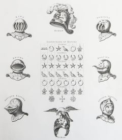
- Original Antique Print of Armour / Helmets, Circa 1820Located in St Annes, LancashireGreat image of helmets Copper-plate engraving Published C.1820 Unframed.Category
Antique 1820s English Georgian Prints
MaterialsPaper


Recently Viewed
View AllMore Ways To Browse
Antique Keys Decor
Antique Key Decor
Metal Wall Etching
Orbis Copper
Antique Map Ortelius
Antique Maps Ortelius
French Glass Front Cabinet
18th Century Styled Chests
Italian Commode Pair
Metal Platform
Chinese Painted Wood Panel
Side Cabinet Blue
Antique Italian Carved Walnut
Antique French Carved Wood Cabinet
Vintage Pair Of Doors
Victorian Slider
Victorian Slide
Painted Commode Antique