
"Composition: Hommage a Léger" by Elmyr de Hory
View Similar Items


1 of 3
"Composition: Hommage a Léger" by Elmyr de Hory
About the Item
Once his cover was blown in the 1960s, de Hory made a living from continuing his work as before, but signing the pieces with his own name. This lithograph, precisely in the style of his former teacher, Fernand Léger, is just such a work.
Signed in pencil by the artist ("Elmyr") and numbered 40 from the edition of 175. "Composition" was published in Paris in 1972, and the printmaker was Marcel Salinas, who had collaborated with Picasso on a series of lithographs only a few years earlier.
You May Also Like
- Antique Map of Denmark by F. de Wit, 1680Located in Langweer, NLAntique map titled 'Dania Regnum'. Large, attractive map of Denmark, Sleschwig-Holstein and southern Sweden. Good detail throughout. Embellished with a title cartouche with the Danis...Category
Antique Late 17th Century Maps
MaterialsPaper
 $772 Sale Price27% Off
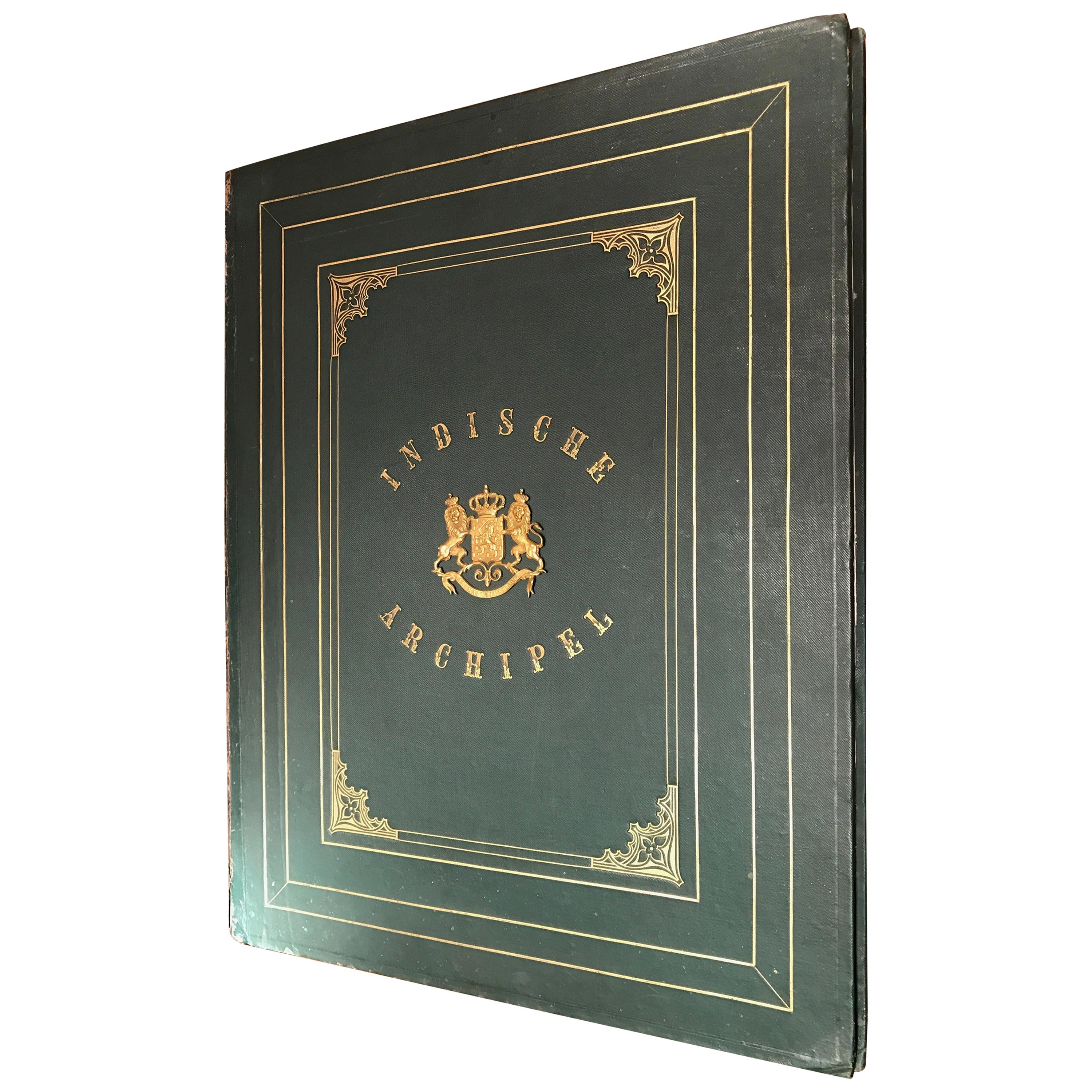
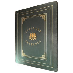
 - De Indische Archipel by C.W. Mieling, 1865-1876Located in Langweer, NL'De Indische Archipel: Tafereelen uit de natuur en het volksleven in Indië' by C.W. Mieling. This is a very rare first edition (only 1 copy in Nederlandse Centrale Catalogus – NCC and only 1 copy in JAP, sold in 1974) of a sumptuous work originally published in 12 instalments (started in 1865 by C.W. Mieling and completed in 1876 by J.M. van ‘t Haaff, both in The Hague). It was in January 1862 that a Prospectus was issued by C. W. Mieling, The Hague, announcing the publication of what is the most spectacular of the plate works of Indonesia, De Indische Archipel, which commenced publication in The Hague in 1865. The work contains 24 large chromolithograph plates which are among the largest published on Indonesia. From both a topographical and artistic point of view the plates are of considerable interest as they present a comprehensive series of views in the archipelago, ranging through Java. Borneo, Sumatra and Minahasa, after drawings by virtually all the prominent mid-19th century artists of Indonesia: Raden Saleh...Category
Antique Mid-19th Century Books
MaterialsPaper
 $58,526 Sale Price22% Off
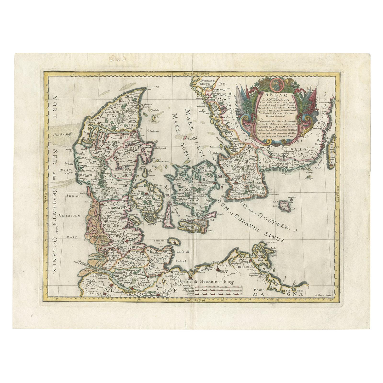
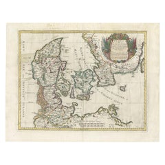
 - Antique Map of Denmark by De Rossi (1697)Located in Langweer, NLAntique map of Denmark titled 'Regno di Danimarca'. Old map of Denmark showing Jutland, Funen, Zealand, Lolland-Falster, Bornholm, etc. This map was engraved by S. Roges and publishe...Category
Antique Late 17th Century Maps
MaterialsPaper
 $397 Sale Price40% Off
 - Antique Map of Austria by F. de Wit, 1690Located in Langweer, NLAntique map titled 'Circuli Austriaci pars Septentrionalis in qua Archiducatus'. Decorative and detailed map of Austria by F. de Wit.Category
Antique Late 17th Century Maps
MaterialsPaper
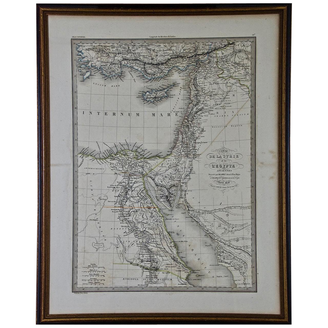
- Map of the Holy Land "Carte de la Syrie et de l'Egypte" by Pierre M. LapieBy Pierre M. LapieLocated in Alamo, CAAn early 19th century map of ancient Syria and Egypt entitled "Carte de la Syrie et de l'Egypte anciennes/dressée par M. Lapie, Colonel d'Etat Major, et...Category
Antique Early 19th Century French Maps
MaterialsPaper
- Large Antique Map of France by De Wit, c.1680By Frederick de WitLocated in Langweer, NLAntique map titled 'Accuratissima Galliae Tabula vulgo Royaume de France'. Detailed map of France. Shows provinces, cities, rivers etc. Artists and Engravers: Frederick de Wit (1...Category
Antique 17th Century Maps
MaterialsPaper


Recently Viewed
View AllMore Ways To Browse
Vintage Tin Collectors
Vintage French Tin Signs
Vintage Corner Kitchen Cabinet
A Pair Of China Cabinets
A Pair Of Chinese Cabinets
Antique Outdoor Garden
Japanese Porcelain By Masters
Vanity Table With Mirror And Drawers
Dining Table With Wrought Iron Base
Large Antique Display Case
Exhibition Poster Italy
Glass Shop Cabinet
Scandinavian Midcentury Chest Of Drawers
Vintage Walnut Display Cabinet
19th Century English Mahogany Chest
Dark French Doors
Pair Small Chests
Plastic Chair 70