Items Similar to Geometric Map of Florence with Black Lacquered Frame Old Map Reproduction
Want more images or videos?
Request additional images or videos from the seller
1 of 11
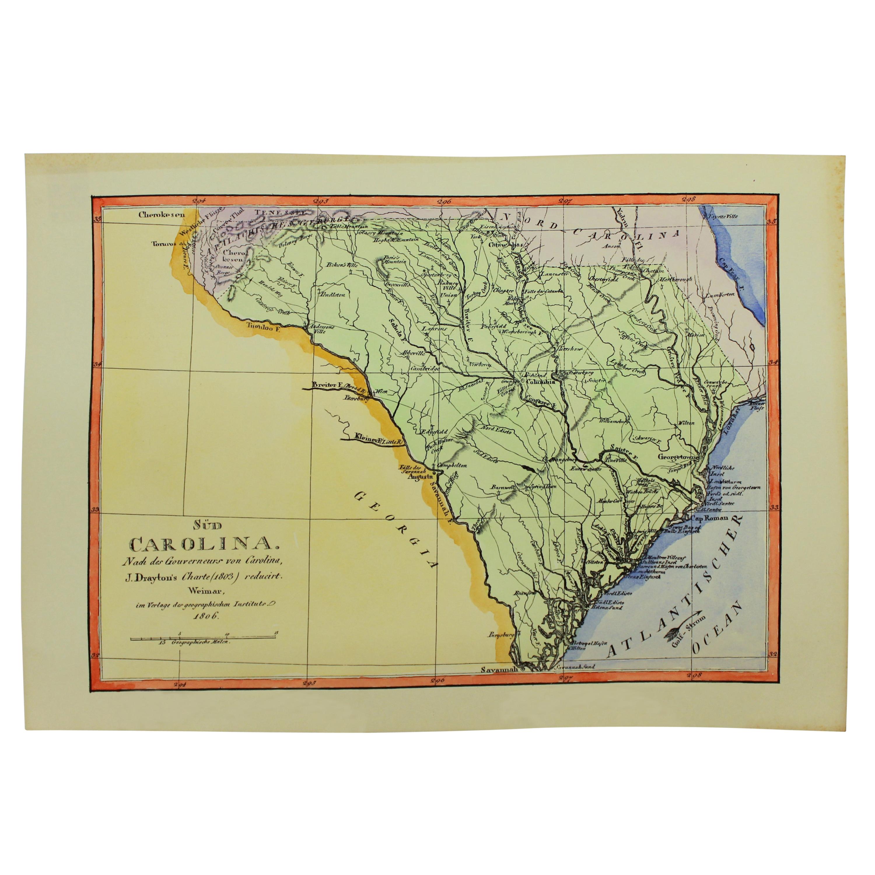
Geometric Map of Florence with Black Lacquered Frame Old Map Reproduction
About the Item
GEOMETRIC PLAN OF THE CITY OF FLORENCE WHICH IS TRUE AS 1:4.500, showing expansions and urban planning changes. The entire print, reproduced on paper, is framed with a "window" structure made of black lacquered and antiqued wood.
With an experience of over 40 years, Artecornici design create high quality hand made frames using precious woods and working various types of high quality finishes, lacquers and aging, offering a vast choice of models.
Each print is an artisanal Florentine product, reproducing images of the European eighteenth and nineteenth centuries with the same printing techniques (engraving with a star press), the golden age of prints, which are then finished and watercolored exclusively by hand
The richness of our work lies in the ability to make our customers' requests our own, creating products with personalized, unique and precious creations, renewing our collections year after year.
- Dimensions:Height: 47.64 in (121 cm)Width: 43.71 in (111 cm)Depth: 1.58 in (4 cm)
- Materials and Techniques:
- Place of Origin:
- Period:
- Date of Manufacture:2023
- Production Type:New & Custom(Current Production)
- Estimated Production Time:7-8 weeks
- Condition:
- Seller Location:Scandicci, IT
- Reference Number:1stDibs: LU4850217725571
About the Seller
4.9
Gold Seller
These expertly vetted sellers are highly rated and consistently exceed customer expectations.
Established in 1981
1stDibs seller since 2019
75 sales on 1stDibs
Typical response time: <1 hour
- ShippingRetrieving quote...Ships From: Scandicci, Italy
- Return PolicyA return for this item may be initiated within 14 days of delivery.
More From This SellerView All
- Italian Handcolored Old Map Reproduction Printed on Rough CanvasLocated in Scandicci, FlorenceThe technique of applying the print on a cotton canvas dates back to the eighteenth century. The background, in hand-aged cotton, acts as a backdrop for the hand-colored geography pa...Category
21st Century and Contemporary Italian Prints
MaterialsCotton, Paper
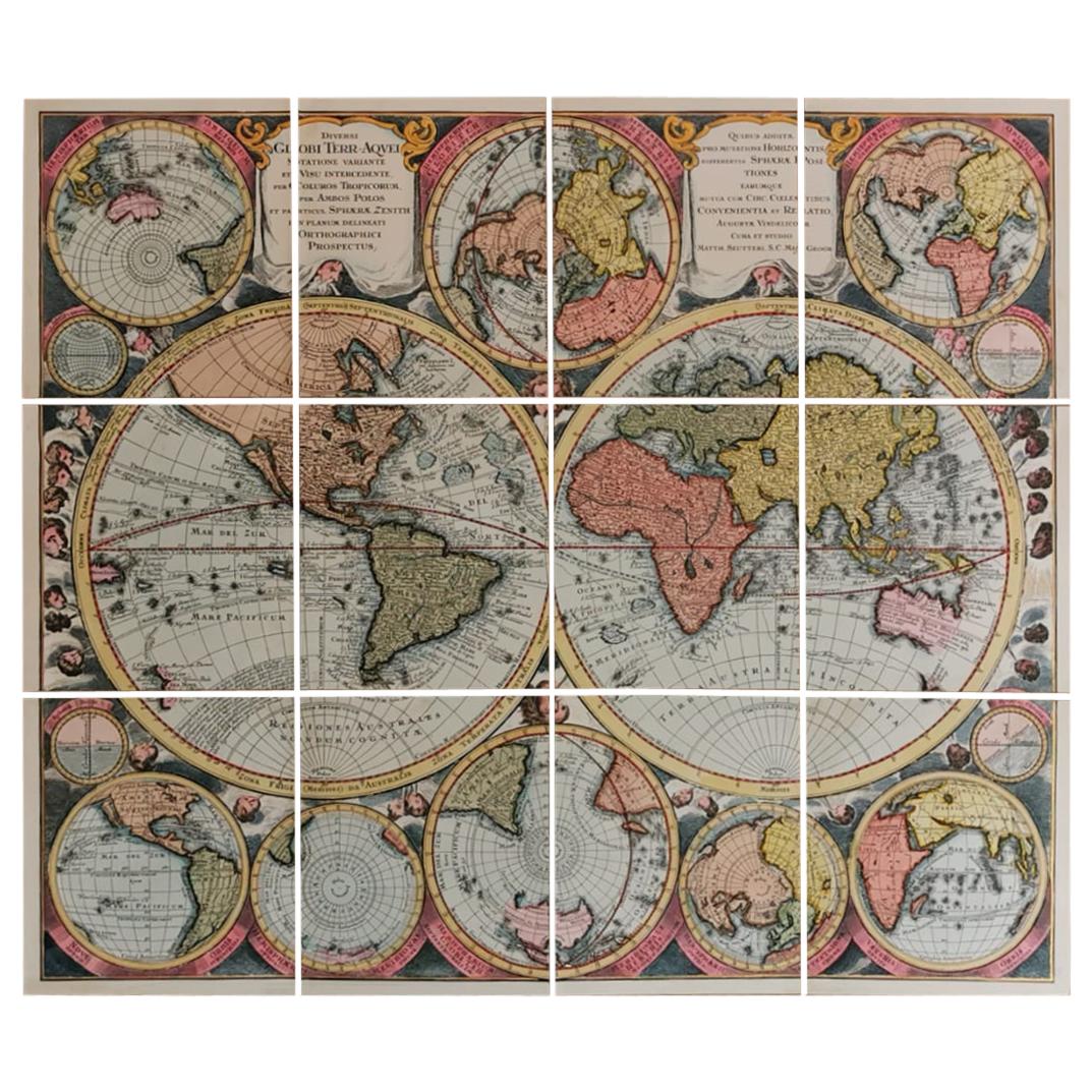
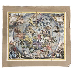
- Italian Contemporary Handcolored Old Map Printed Rough Canvas "Planisphere"Located in Scandicci, FlorenceBeautiful reproduction of an antique English map showing th Planisfere, with astral hemisfere, made in 1629. We can see with what mastery of joints and vivid colours the author depi...Category
21st Century and Contemporary Italian Prints
MaterialsCotton, Paper
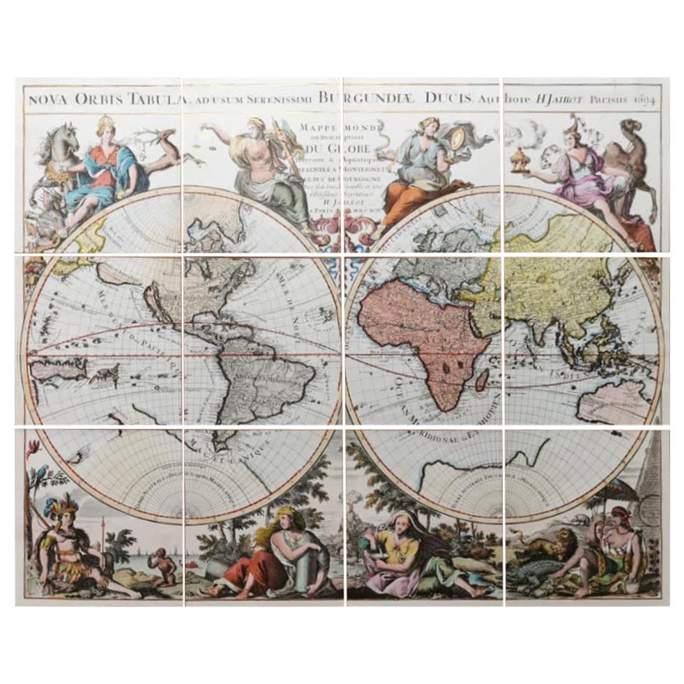
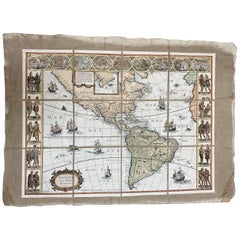
- Italian Contemporary Handcolored Old Map Printed on Canvas "The Americas"Located in Scandicci, FlorenceBeautiful reproduction of an antique map showing th Planisfere, with continets, lands and their populations. We can see with what mastery of joints and vivid colours the author depic...Category
21st Century and Contemporary Italian Prints
MaterialsCotton, Paper
- Italian Contemporary Handcolored Old Map Printed Rough Canvas "Astral Hemisper"Located in Scandicci, FlorenceBeautiful reproduction of an antique French map showing Astral Hemisfere, made around the age of the 17th century. We can see with what mastery of joints and vivid colours the autho...Category
21st Century and Contemporary Italian Prints
MaterialsCotton, Paper
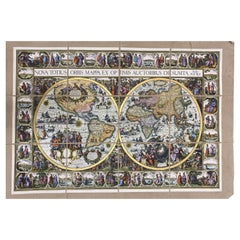
- Italian Contemporary Handcolored Old Map Printed on Canvas "Planisphere Ethnics"Located in Scandicci, FlorenceBeautiful reproduction of an antique English map showing th Planisfere, with continets, views of important cities and their population, made in 1602 By Petri Kerl. We can see with w...Category
21st Century and Contemporary Italian Prints
MaterialsCotton, Paper
You May Also Like
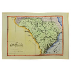
- Old Reproduction Handcolored Map of South Carolina, J. DraytonLocated in Charleston, SCVery fine old reproduction handcolored Map of Sud Carolina (South Carolina), the original from an early 19th century original by J. Drayton's Charte (1803) and the German Geographica...Category
Mid-20th Century American Paintings
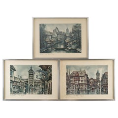
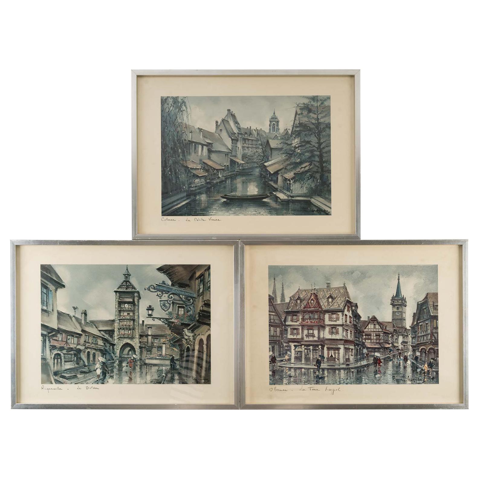
- Suite of 3 Framed ReproductionsLocated in Saint-Ouen, FRSuite of 3 framed reproductions, 20th century. Measures: H: 30 cm, W: 40 cm, D: 1.5 cm.Category
20th Century European Prints
MaterialsPaper
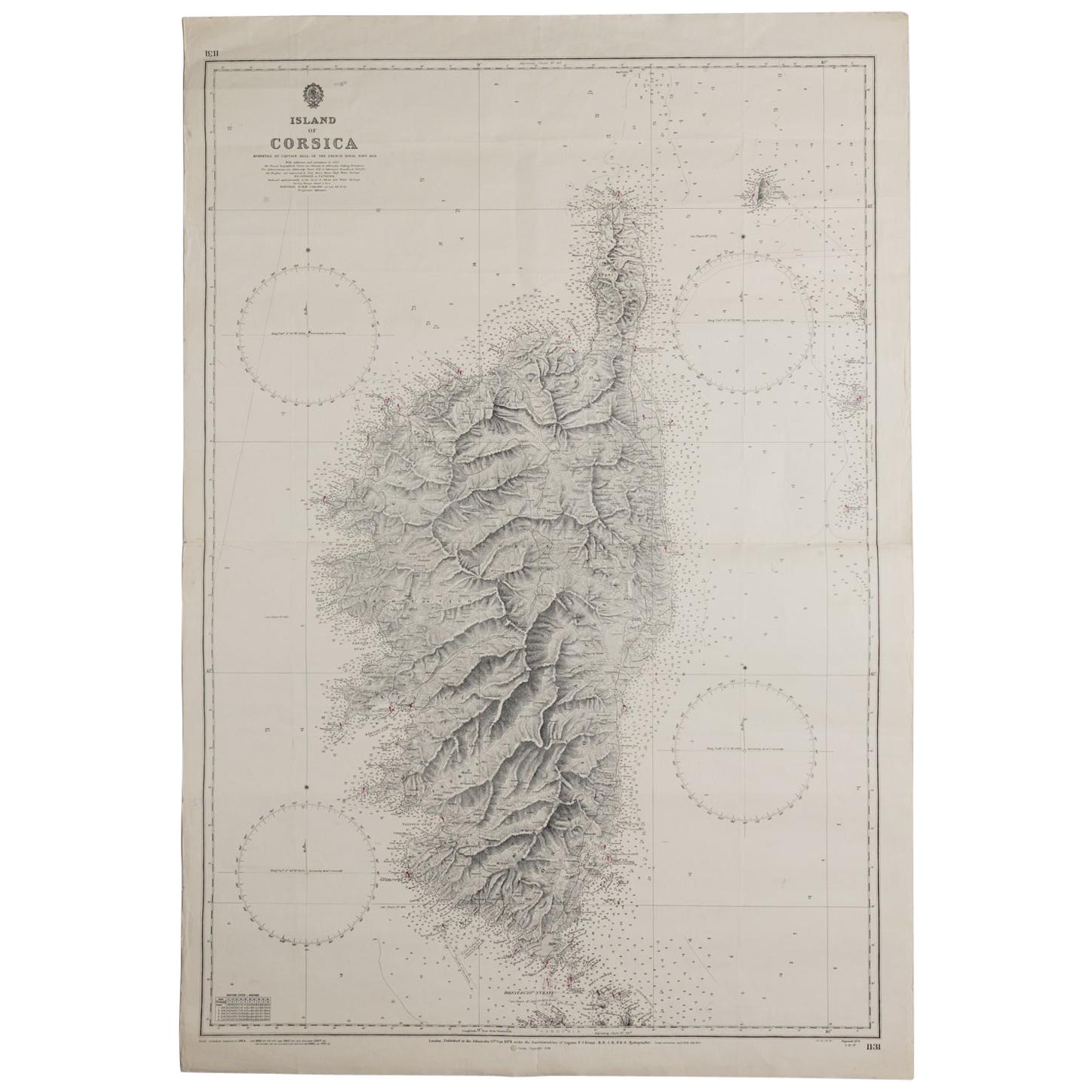
- Old Nautical Map of CorsicaLocated in Alessandria, PiemonteST/556/1 - Old map of Corsica isle, surveyed by Captain Hell, of the French Royal Navy in 1824, engraved and published on 1874, with additions and corre...Category
Antique Early 19th Century English Other Prints
MaterialsPaper
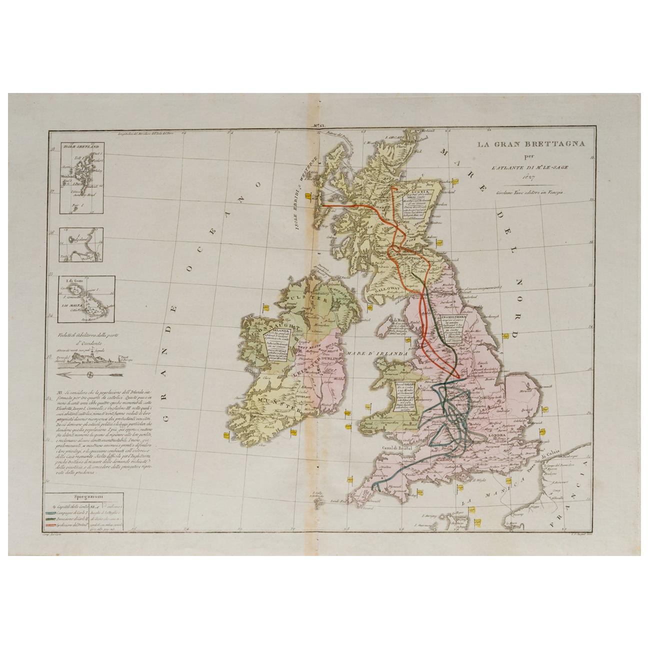
- Old Horizontal Map of EnglandBy TassoLocated in Alessandria, PiemonteST/520 - Old rare Italian map of England, dated 1826-1827 - by Girolamo Tasso, editor in Venise, for the atlas of M.r Le-Sage.Category
Antique Early 19th Century Italian Other Prints
MaterialsPaper
- Four Reproduction Vintage Panels of Air France World MapLocated in Los Angeles, CAReproduction of a beautiful green and blue mid-century Air France world map on four individual panels. The charming illustrations evoke an era of international jet-set style. May be ...Category
21st Century and Contemporary French Prints
MaterialsWood, Paper
- Four Reproduction Vintage Panels of Air France World MapLocated in Los Angeles, CAReproduction of beautiful blue and green mid-century Air France world map on four individual panels. The charming illustrations evoke an era of international jet-set style. May be pu...Category
21st Century and Contemporary French Prints
MaterialsPaper, Wood