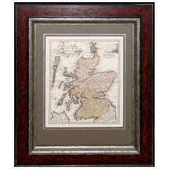
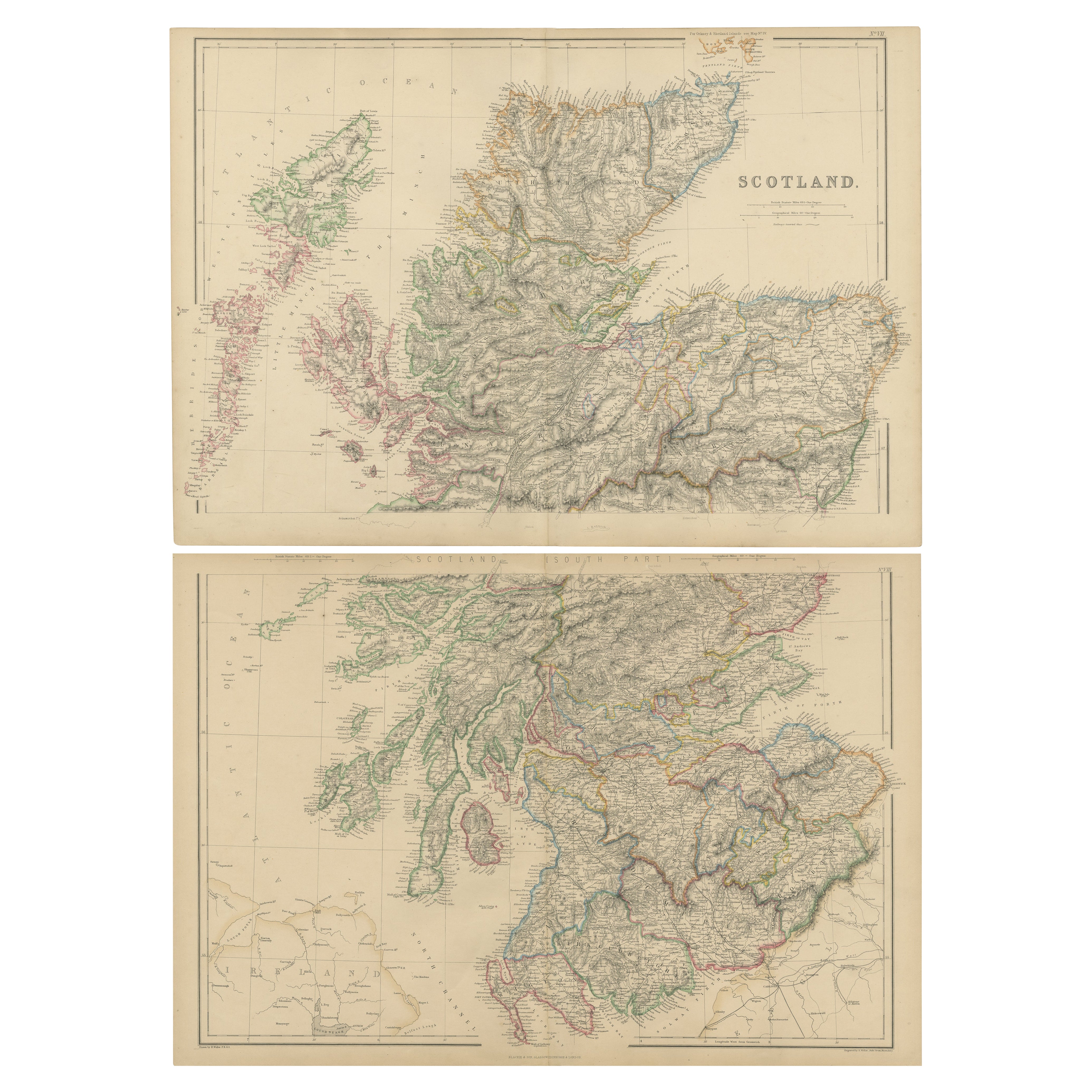
Map of Scotland - Christoper Weigel
View Similar Items


1 of 2
Map of Scotland - Christoper Weigel
About the Item
- Creator:Christoph Weigel (Designer)
- Dimensions:Height: 25 in (63.5 cm)
- Place of Origin:
- Period:
- Date of Manufacture:1722
- Condition:
- Seller Location:Toronto, CA
- Reference Number:1stDibs: U1201078755255
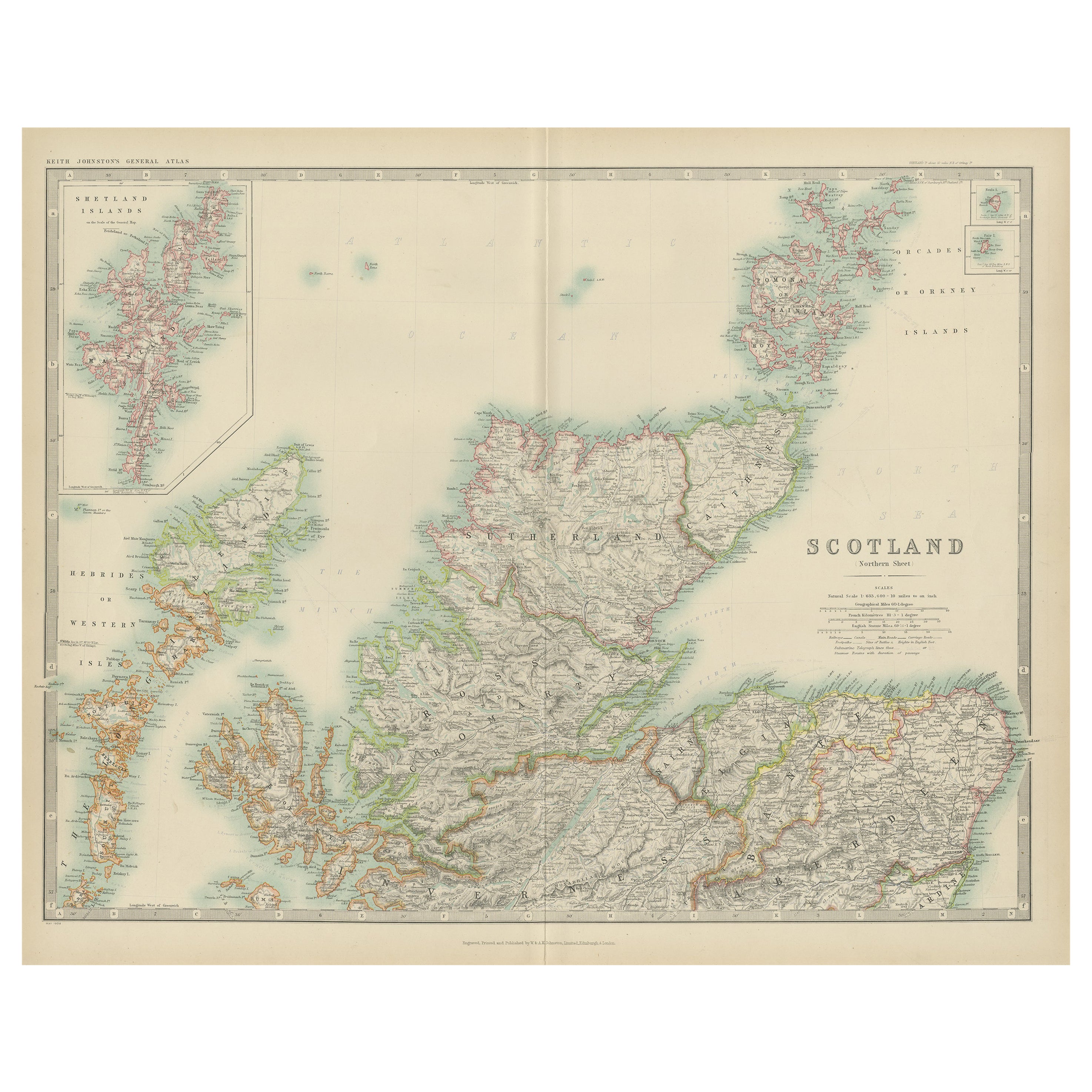
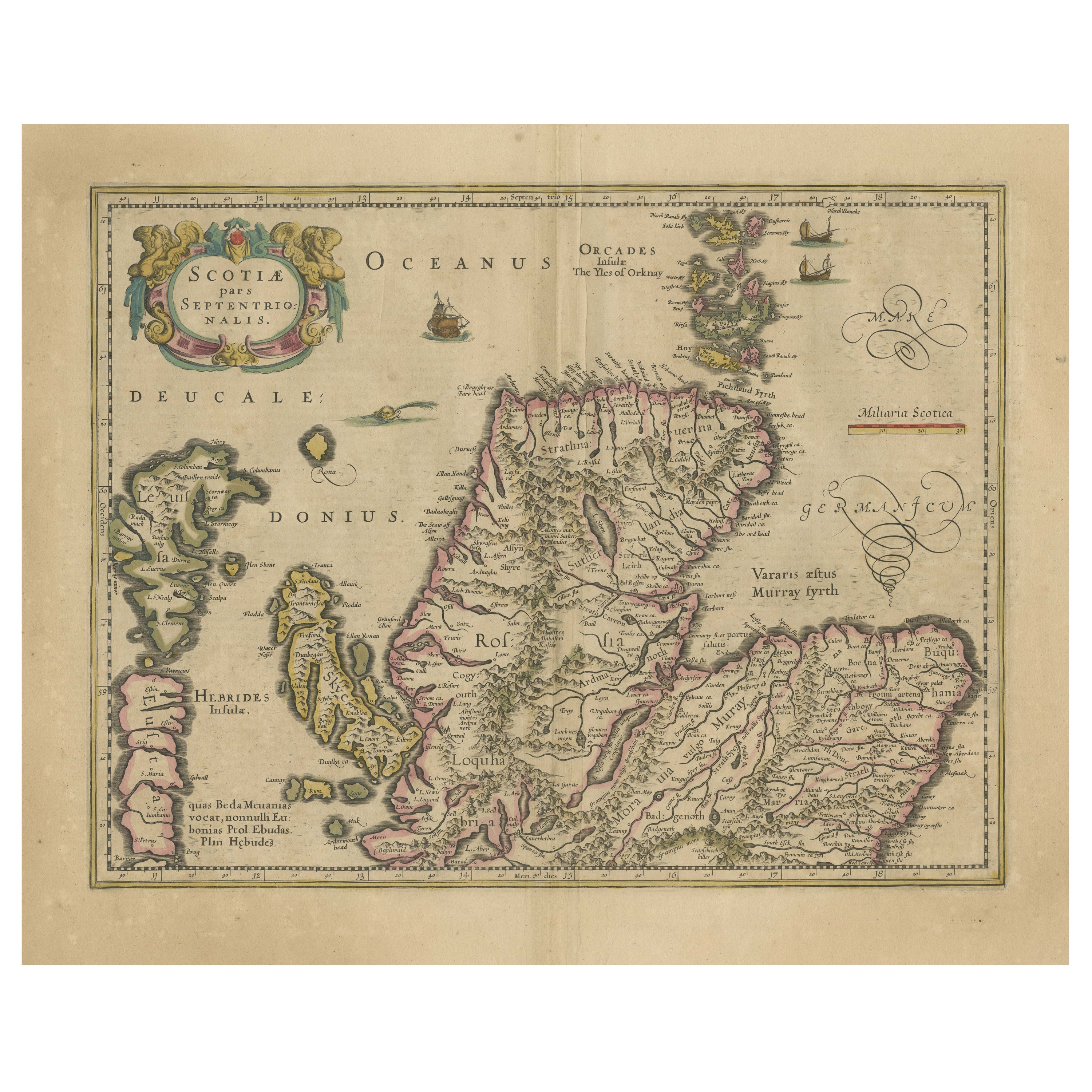
You May Also Like
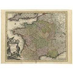
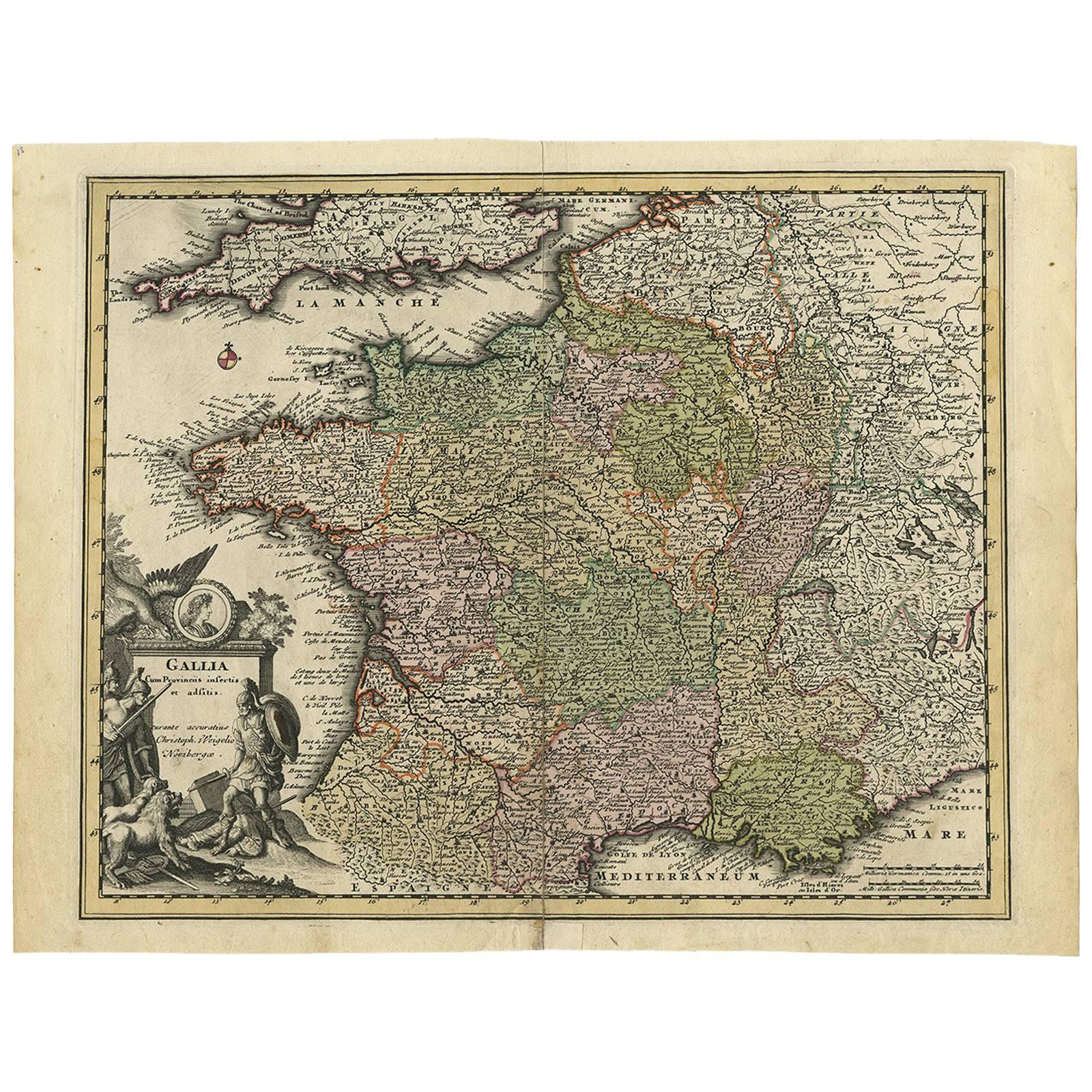
- Original High Detailed Antique Map of France by C. Weigel, 1719By Christoph WeigelLocated in Langweer, NLAntique map titled 'Gallia'. This highly detailed map shows France divided up into its provinces. The map provides a lot of information on place names, rivers, mountains, etc. The ...Category
Antique Early 18th Century Maps
MaterialsPaper
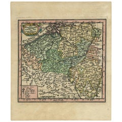
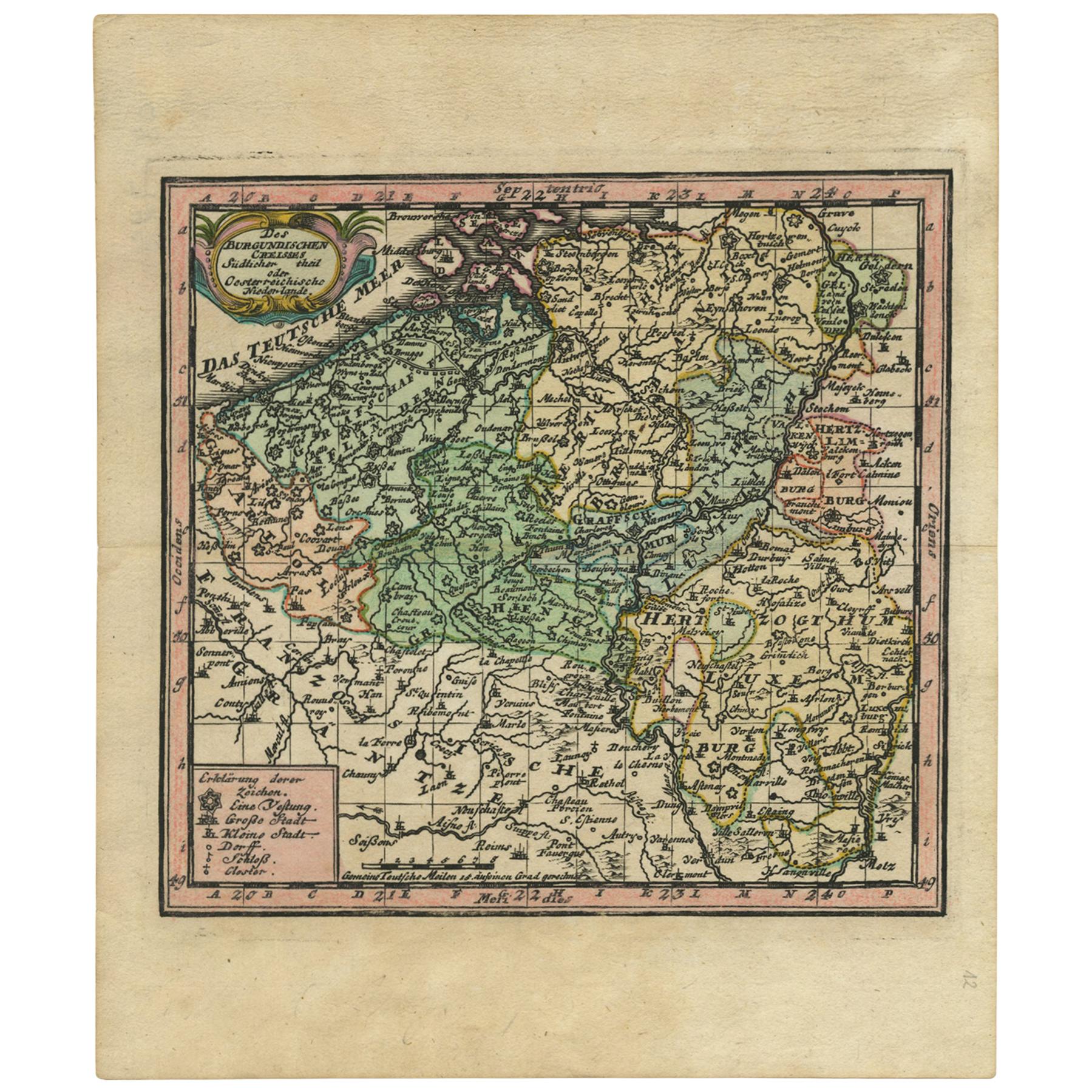
- Antique Map of Belgium by J.C. Weigel, 1723Located in Langweer, NLAntique map titled 'Des Burgundischen Creisses Südlicher theil oder Oesterreichische Niederlande'. This map originates from 'Continuirter Atlas Portatilis Germanicus (..)' by Johann ...Category
Antique Early 18th Century Maps
MaterialsPaper
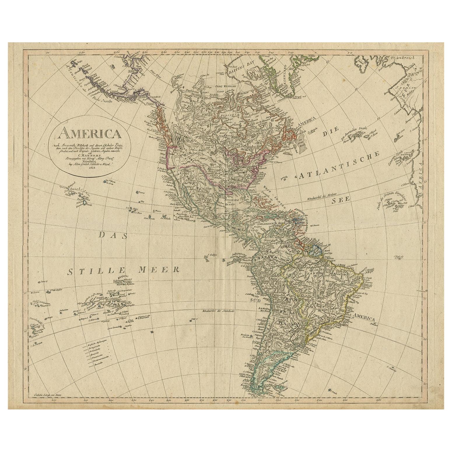
- Antique Map of North and South America by Schneider and Weigel, 1818Located in Langweer, NLAntique map titled 'America nach Arrowsmiths Weltcharte und dessen Globular Projection (..)'. Map of North and South America. Published by Schneider and Weigel, 1818.Category
Antique Early 19th Century Maps
MaterialsPaper
 $1,319 Sale Price20% Off
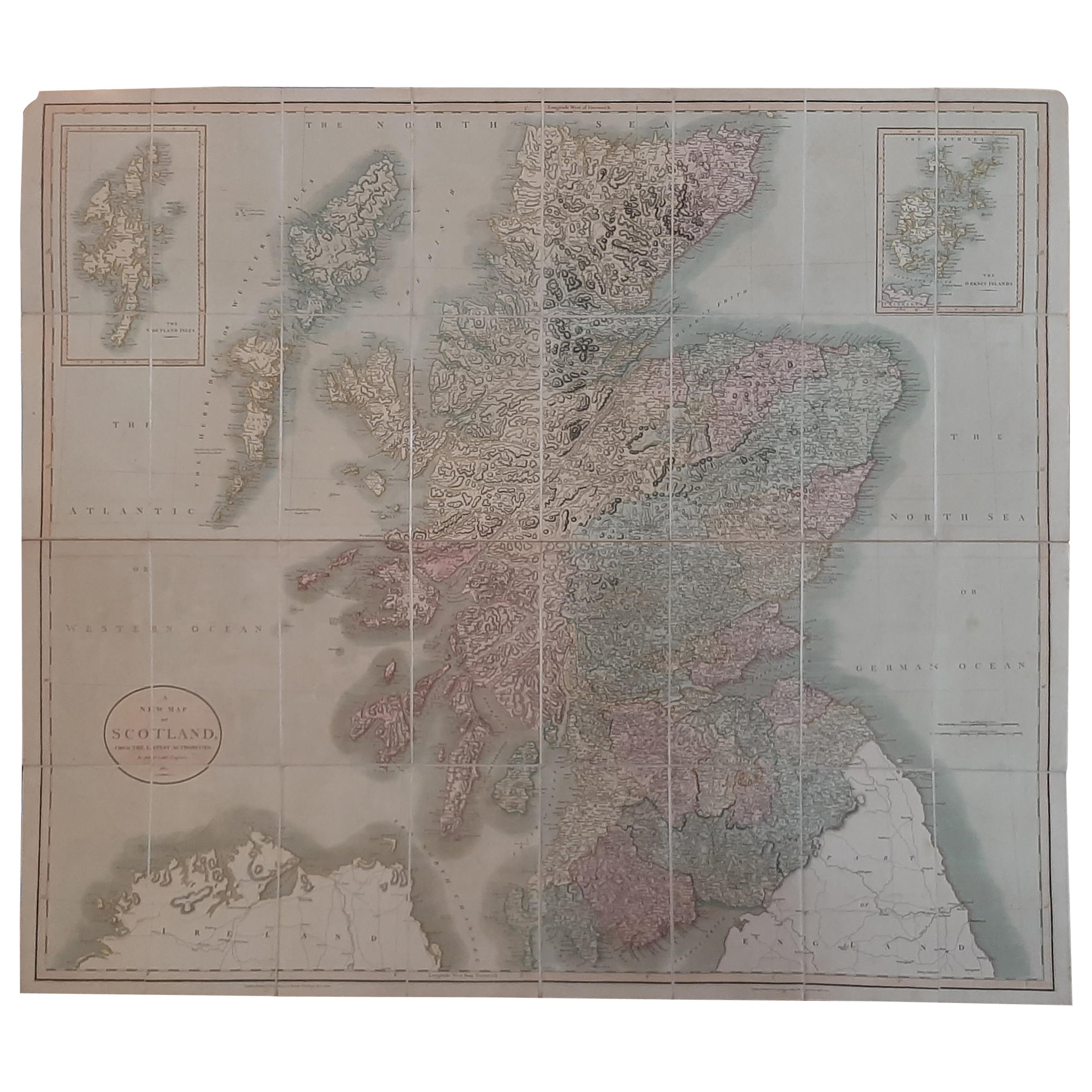
 - Antique Map of Scotland by Cary, '1811'Located in Langweer, NLAntique map titled 'A New Map of Scotland from the Latest Authorities': **Title**: A New Map of Scotland from the Latest Authorities **Publisher**: J....Category
Antique Early 19th Century Maps
MaterialsLinen, Paper
 $703 Sale Price20% Off
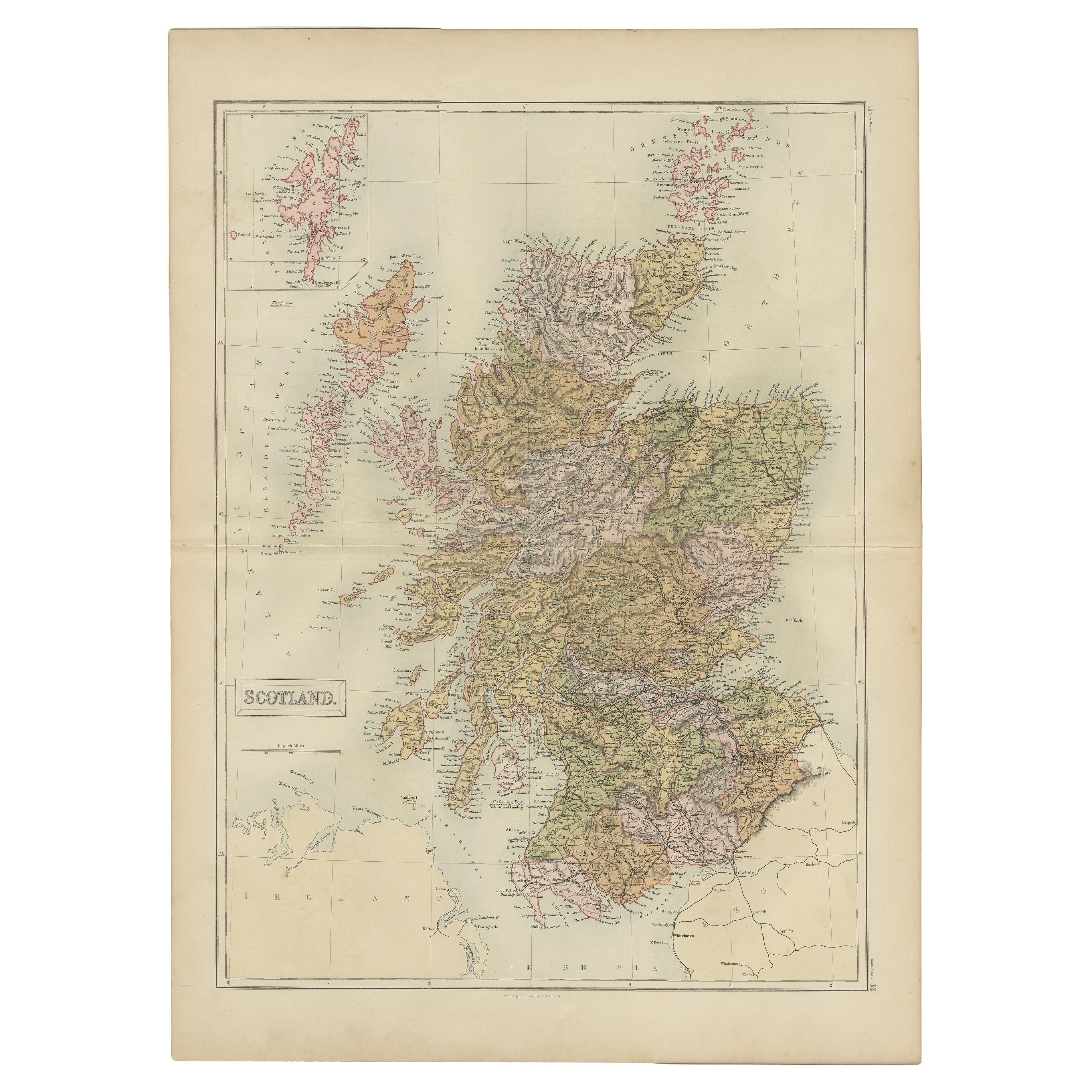
 - Antique Map of Scotland by A & C. Black, 1870Located in Langweer, NLAntique map titled 'Scotland'. Original antique map of Scotland with inset map of Shetland island. This map originates from ‘Black's General Atlas of The World’. Published by A & C. ...Category
Antique Late 19th Century Maps
MaterialsPaper
 $212 Sale Price29% Off
 - Antique Map of Scotland With an Inset Map of the Shetland Islands, 1854Located in Langweer, NLStunning Map of Scotland that will look beautiful in any setting framed on the wall. Description: Large Antique map titled 'Scotland with its Islands, drawn from the Topographical surveys...Category
Antique 1850s Maps
MaterialsPaper
 $1,031 Sale Price24% Off