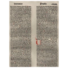
"A New Covenant" Jeremiah 31-32, 1479 Large Latin Bible Leaf Medieval Incunabula
View Similar Items


1 of 4
"A New Covenant" Jeremiah 31-32, 1479 Large Latin Bible Leaf Medieval Incunabula
About the Item
- Creator:Anton Koberger (Maker)
- Dimensions:Height: 16 in (40.64 cm)Width: 11 in (27.94 cm)Depth: 0.01 in (0.26 mm)
- Style:Renaissance (Of the Period)
- Materials and Techniques:
- Place of Origin:
- Period:
- Date of Manufacture:1479
- Condition:Wear consistent with age and use. Moderate wear and fraying to lower right corner. Please note that this leaf is written in Latin.
- Seller Location:Albany, OR
- Reference Number:Seller: AB1479BSJer311stDibs: LU3674111915003
You May Also Like
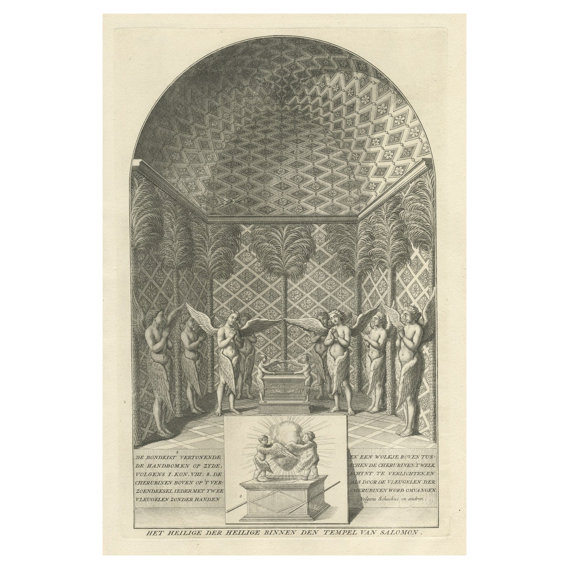
- Solomon's Temple, the Holy of Holies, Showing the Ark of the Covenant, c.1780Located in Langweer, NLAntique religion print titled 'Het Heilige der Heilige binnen den Tempel van Salomon'. This print depicts Solomon's Temple, the Holy of Holies, showing the Ark of the Covenant...Category
Antique 1780s Prints
MaterialsPaper
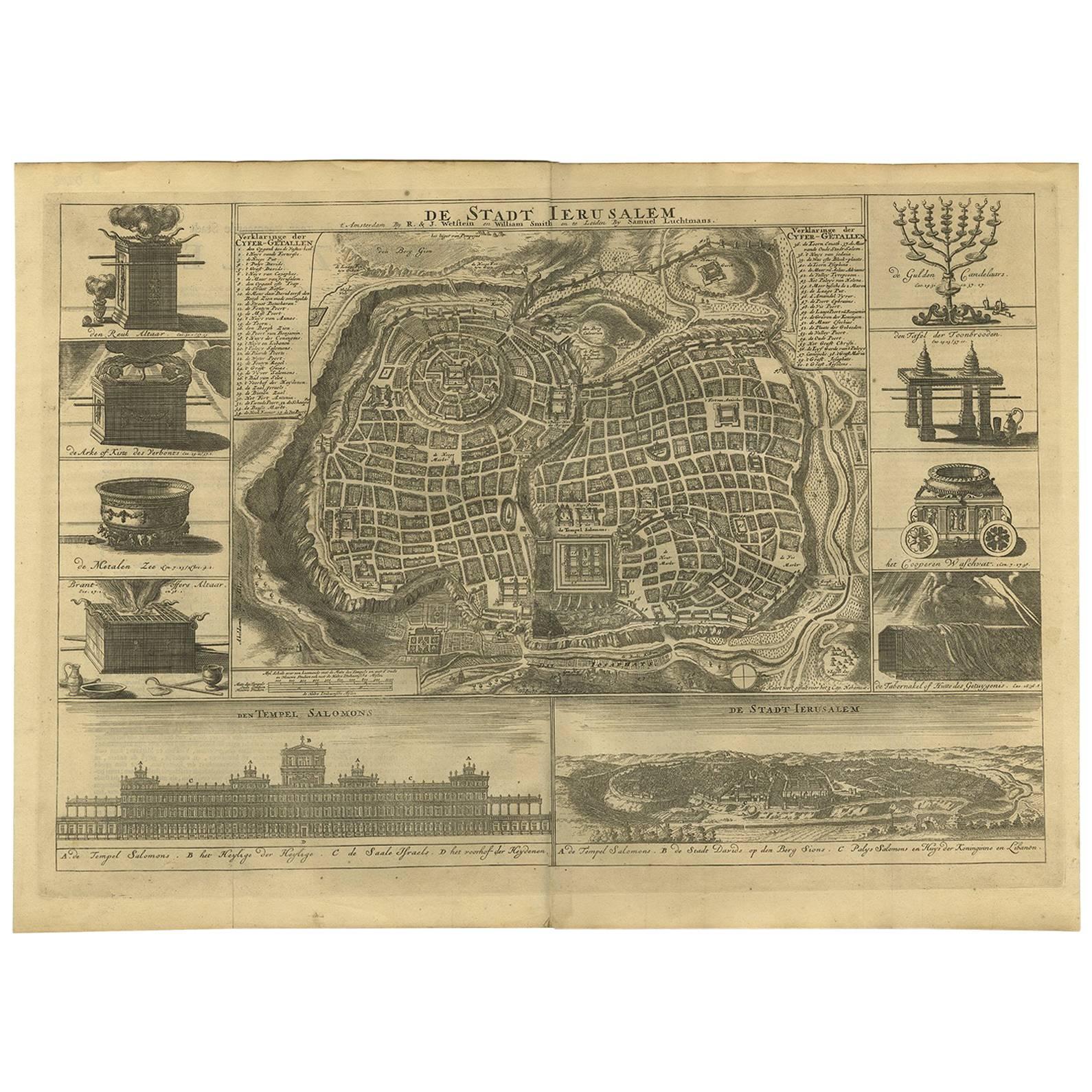
- Antique Bible Plan of Ancient Jerusalem, 1743Located in Langweer, NLThis plan originates from ‘Biblia Sacra, dat is, de H. Schriftuer van het Oude, en het Nieuwe Testament, naer de laetste Roomsche keure der gemeine Latijnsche overzettinge, in nederd...Category
Antique Mid-18th Century Maps
MaterialsPaper
 $819 Sale Price32% Off
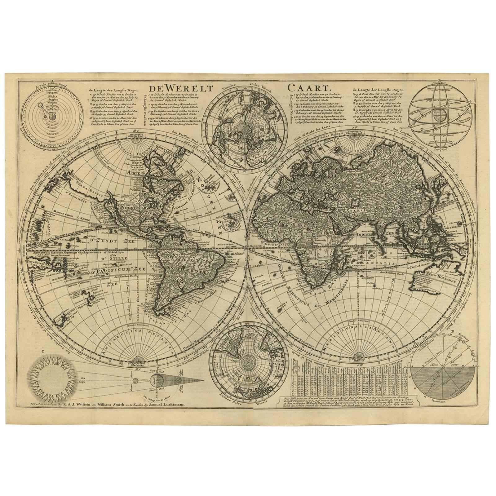
 - Antique Bible World Map by R. & J. Wetstein, 1743Located in Langweer, NLAntique world map titled 'De Werelt Caart'. A scarce and richly detailed double hemisphere world map that was probably based on an earlier work by Cornelis Dankerts. This map has t...Category
Antique Mid-18th Century Maps
MaterialsPaper

- Antique Bible Plan of Jerusalem by Covens & Mortier, 1743Located in Langweer, NLThis plan originates from ‘Biblia Sacra, dat is, de H. Schriftuer van het Oude, en het Nieuwe Testament, naer de laetste Roomsche keure der gemeine Latijnsche overzettinge, in nederd...Category
Antique Mid-18th Century Maps
MaterialsPaper
 $393 Sale Price34% Off
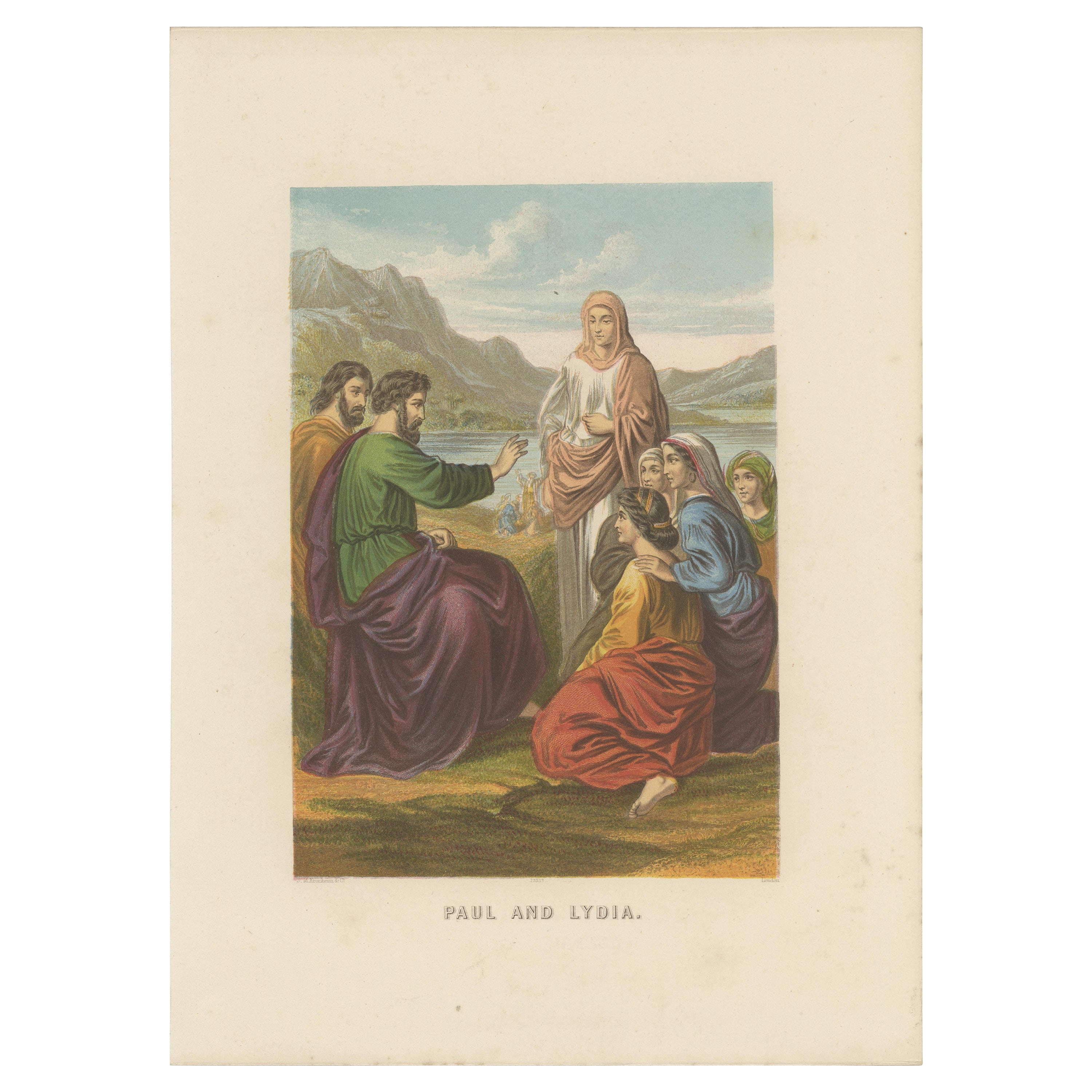
 - Antique Bible Print of Paul & Lydia by Kronheim 'c.1860'Located in Langweer, NLAntique bible print titled 'Paul and Lydia'. This print most likely originates from an illustrated bible, published by J.M. Kronheim & Co, circa 1...Category
Antique Mid-19th Century Prints
MaterialsPaper
- Antique Bible Map of the Middle East by A. Schut, 1743Located in Langweer, NLAntique map titled 'De Gelegentheyt van 't Paradys en 't Landt Canaan'. Dutch Bible map covering the region between the Mediterranean and the Persian Gulf, ...Category
Antique Mid-18th Century Maps
MaterialsPaper
 $453 Sale Price24% Off

