Items Similar to Rare City View of London and Westminster, Showing Many Battles Ships, 1804

Want more images or videos?
Request additional images or videos from the seller
1 of 5
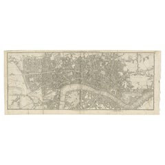
Rare City View of London and Westminster, Showing Many Battles Ships, 1804
About the Item
Title: The Cities of London & Westminster, accurately copied from the table of the Camera Obscura in the Royal Observatory at Greenwich
This is a rare plate from a serie of 22 landmarks taken from Modern London, published in 1804 by Richard Phillips. This engraving is drawn by the Welsh artist Edward Pugh (the name of the artist and engraver can be found in small text under the image).
Condition: Good. A very clean copy with two vertical folding lines as issued. The right side is a bit rough from the original binding, but not touching the image.
- Dimensions:Height: 10.04 in (25.5 cm)Width: 16.15 in (41 cm)Depth: 0 in (0.02 mm)
- Materials and Techniques:
- Period:
- Date of Manufacture:1804
- Condition:Condition: Good. A very clean copy with two vertical folding lines as issued. The right side is a bit rough from the original binding, but not touching the image.
- Seller Location:Langweer, NL
- Reference Number:
About the Seller
5.0
Platinum Seller
These expertly vetted sellers are 1stDibs' most experienced sellers and are rated highest by our customers.
Established in 2009
1stDibs seller since 2017
1,932 sales on 1stDibs
Typical response time: <1 hour
- ShippingRetrieving quote...Ships From: Langweer, Netherlands
- Return PolicyA return for this item may be initiated within 14 days of delivery.
More From This SellerView All
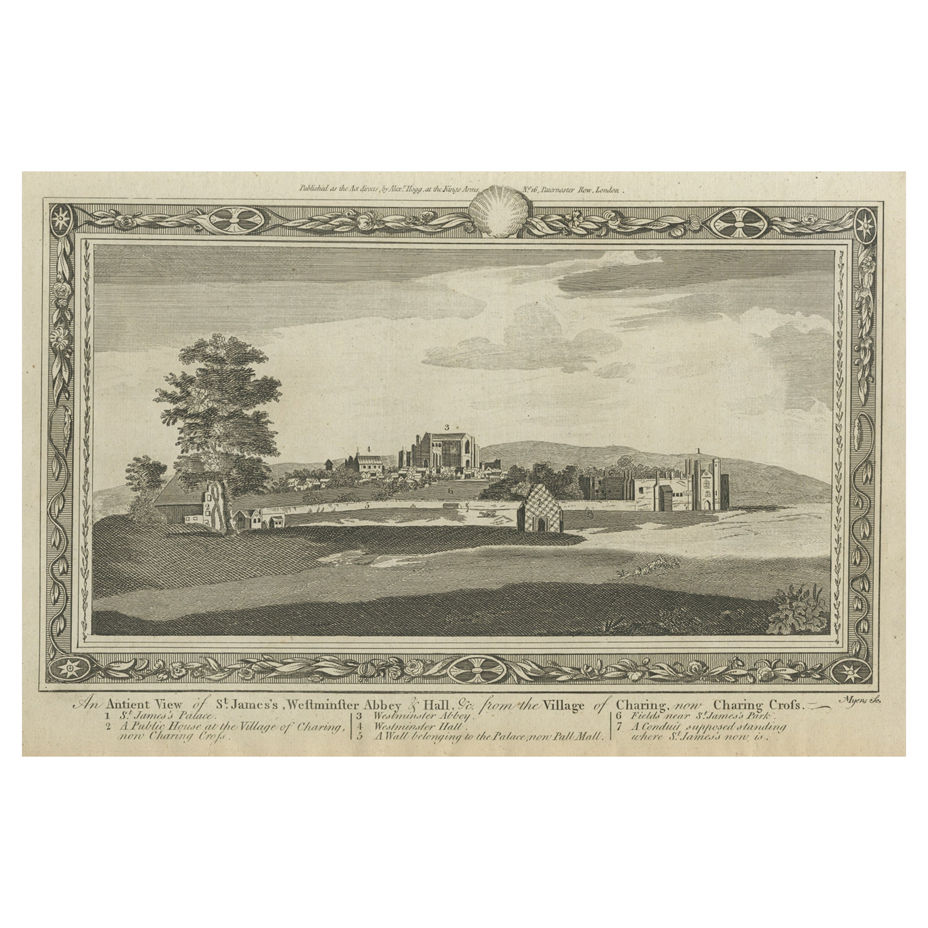
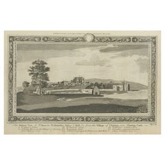
- Rare Antique Print of the Famous Westminster Abbey, London, England, C.1800Located in Langweer, NLAntique print titled 'An ancient View of St. James's (..)'. Old print of Westminster, the old Westminster Abbey in the centre, with St James's Palace on the right. Westminster Abb...Category
Antique 18th Century Prints
MaterialsPaper
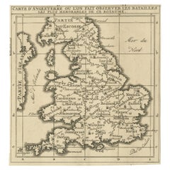
- Original Antique Map of England, Showing the Most Memorable BattlesLocated in Langweer, NLAntique map titled 'Carte d'Angleterre ou l'on fait observer les Batailes les plus Memorables de ce Royaume'. Original antique map of England, showing the most memorable battles. Thi...Category
Antique Early 18th Century Maps
MaterialsPaper
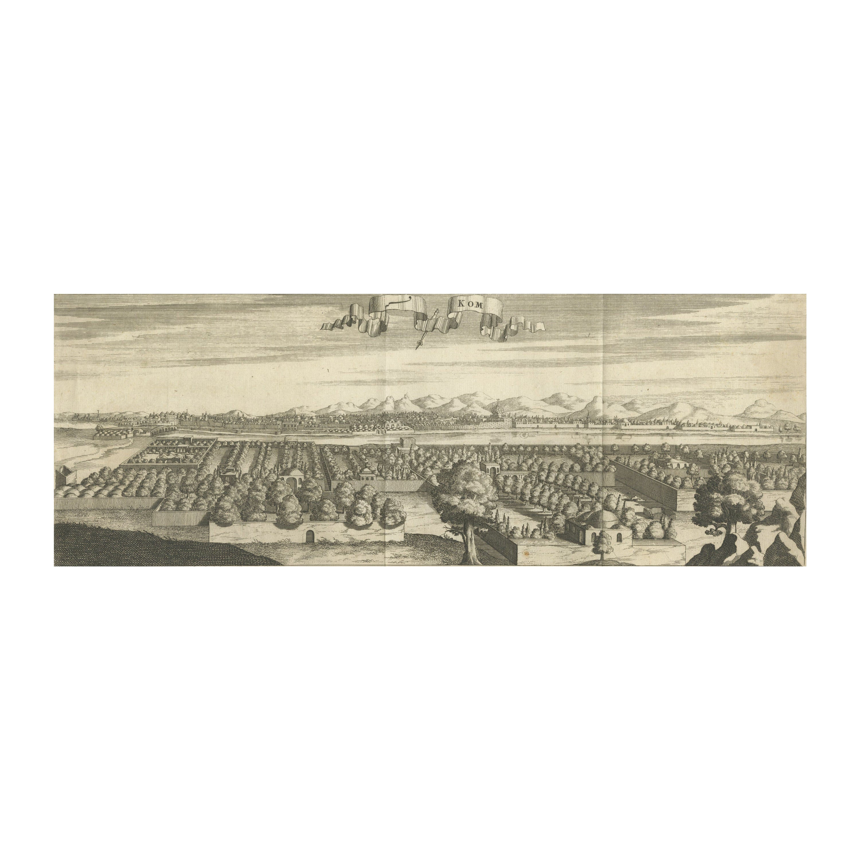
- Rare Engraving with a View of the City of Kom in EgyptLocated in Langweer, NLThis is an original antique print of the city of Kom in Egypt.Category
Antique Late 18th Century Prints
MaterialsPaper
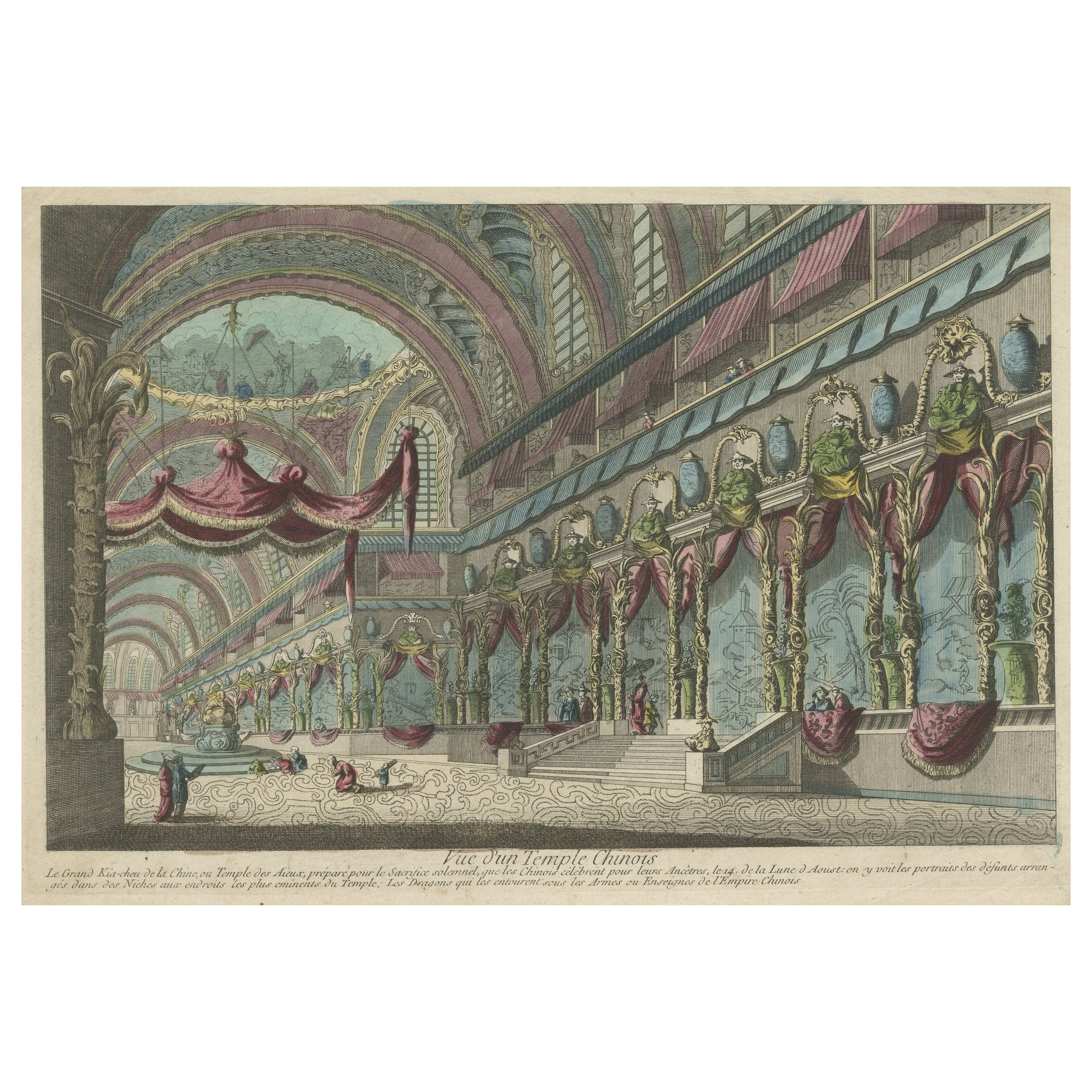
- Handcolored Copperplate Engraving Showing a Perspective View of a Chinese TempleLocated in Langweer, NLAntique print titled 'Vue d'un Temple Chinois'. View of a Chinese temple. This is an optical print, also called 'vue optique' or 'vue d'optique', which were made to be viewed through a Zograscope, or other devices of convex lens...Category
Antique Late 18th Century Prints
MaterialsPaper
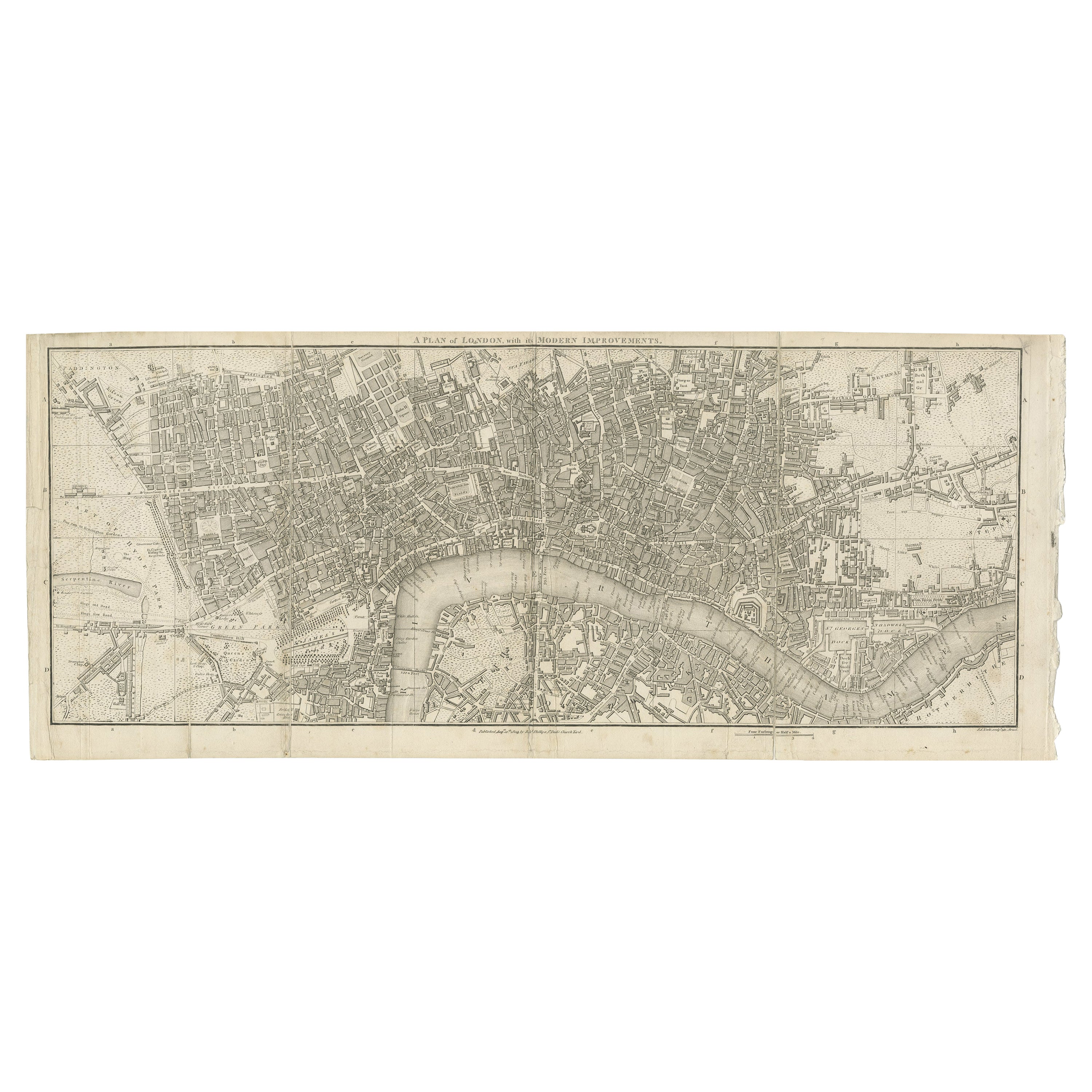
- Antique Copper Engraving of Folding Plan of London, Published in 1804Located in Langweer, NLThis rare map comes originally from the publication: Modern London: Being the History and Present State of the British Metropolis. It was published in London and Printed for Richard...Category
Antique Early 1800s Maps
MaterialsPaper
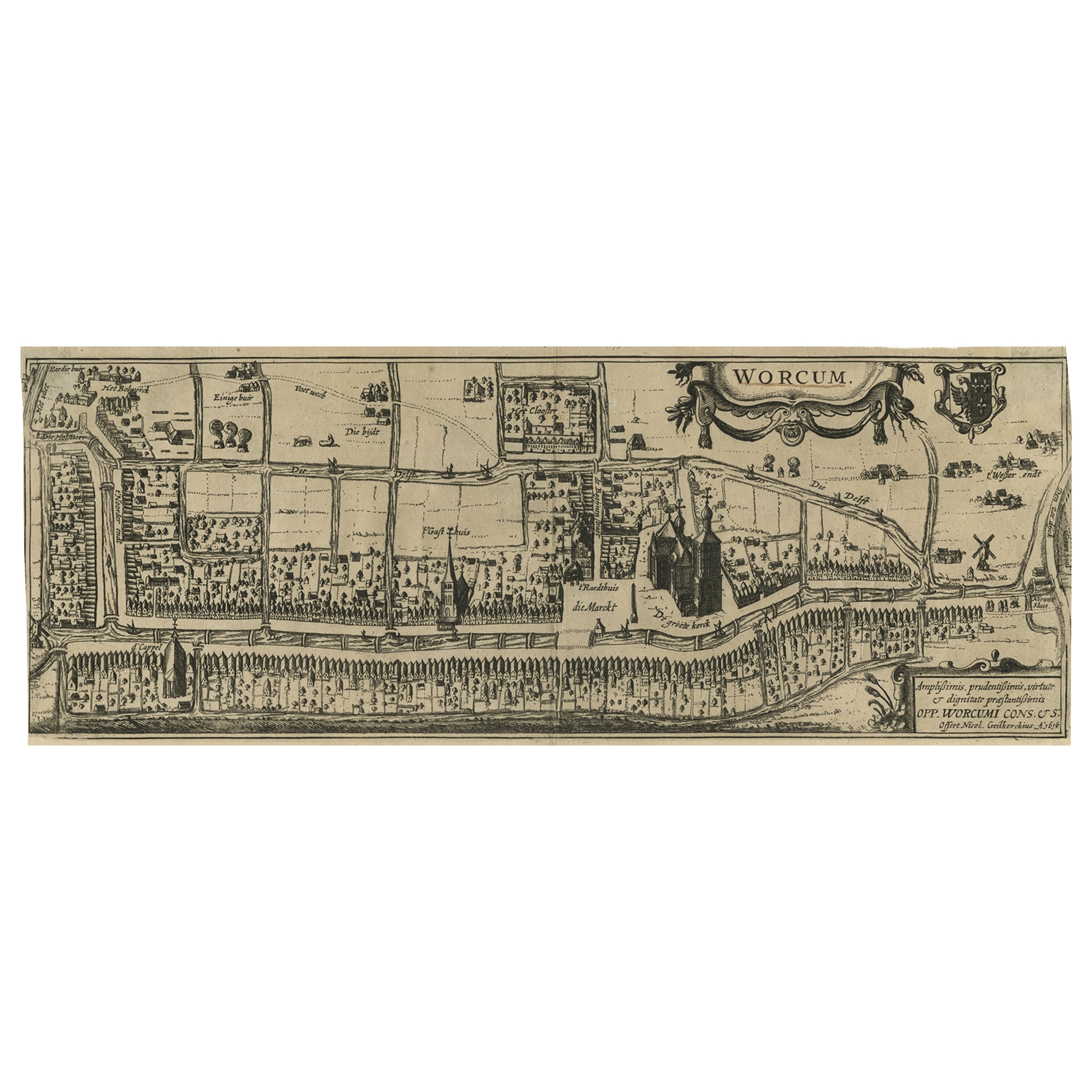
- Original Old & Rare View of the City of Workum, Friesland, The Netherlands, 1616Located in Langweer, NLAntique map titled 'Worcum'. This print depicts the city of Workum (Friesland, The Netherlands). With German captions. This print originates from 'Rerum Frisicarum Historia' publishe...Category
Antique 1610s Maps
MaterialsPaper


You May Also Like
- Catalogue of Engraved Views, Plans, Etc., Of New York City, 1st EdLocated in valatie, NYA catalogue of engraved views, plans, etc., Of New York City, (The Collection of Percy R. Pyne II). Privately Printed by The De Vinne Press, New York, 1912. Limited to 100 copies. Gr...Category
Early 20th Century American Books
MaterialsPaper
- 18th Century French Map and City View of Joppe/Jaffa 'Tel Aviv' by SansonBy Nicolas SansonLocated in Alamo, CAAn original antique engraving entitled "Joppe; in ’t Hebreeusch by ouds Japho; hedendaags Japha, of Jaffa; volgens d’aftekening gedaan 1668", by Nicholas Sanson d'Abbeville (1600 - 1667). This is a view of the city of Joppe (in Hebrew Japho), now called Japha or Jaffa, the harbor portion of modern day Tel Aviv, Israel as it appeared in 1668 . It depicts a very busy harbor with numerous boats. A large ship on the left appears to be firing its canons and a small ship on the right appears to be sitting very low in the water, either heavily loaded with cargo or sinking. The town is seen on the far shore with a fortress on a hill across in the background. The map is printed from the original Sanson copperplate and was published in 1709 by his descendants. The map is presented in an ornate brown wood frame embellished by gold-colored leaves and gold inner trim with a double mat; the outer mat is cream-colored and the inner mat is black. There is a central vertical fold, as issued. There are two small spots in the lower margin and one in the upper margin, as well as two tiny spots adjacent to the central fold. 1717 is written below the date 1668 in the inscription. The map is otherwise in very good condition. Another map of the "Holy Land" (by Claes Visscher in 1663), with an identical style frame and mat is available. This pair of maps would make a wonderful display grouping. Please see Reference #LU5206220653552. A discount is available for the purchase of the pair of maps. Artist: Nicholas Sanson d'Abbeville (1600-1667) and his descendents were important French cartographer's active through the 17th century. Sanson started his career as a historian and initially utilized cartography to illustrate his historical treatises. His maps came to the attention of Cardinal Richelieu and then King Louis XIII of France, who became a supporter and sponsor. He subsequently appointed Sanson 'Geographe Ordinaire du Roi' the official map maker to the king. Sanson not only created maps for the king, but advised him on geographical issues and curated his map collection...Category
Antique Early 18th Century French Maps
MaterialsPaper
- City View of Nuremberg, Germany: An 18th Century Hand-Colored Map by M. SeutterBy Matthew SeutterLocated in Alamo, CAAn 18th century hand-colored city view of Nuremburg, Germany entitled "Geometrischer Grundris der des Heiligen Römischen Reichs Freyen Stadt Nürnberg" by Matthaus Seutter from his "A...Category
Antique Mid-18th Century German Maps
MaterialsPaper
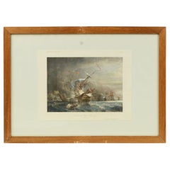
- Vintage Lithographic Print of Battle of Cape Lèzard, Early 1900s, Oakwood FrameLocated in Milan, ITLithographic print of the battle of Cape Lèzard on 21st October 1707, taken from the book Historical Gallery of Versailles. Skelton is the engraver. Original print by Victor Gilbert Théodore Gudin...Category
Early 20th Century French Nautical Objects
MaterialsPaper
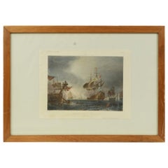
- 1900s Vintage Lithographic Print of the Naval Battle of Beziers, Oak Wood FrameLocated in Milan, ITLithographic print of the Naval Battle of Beziers on 10th July 1690, taken from the book Historical Gallery of Versailles 319bis. Skelton is the engraver. Original print by Victor Gilbert Théodore Gudin...Category
Early 20th Century French Nautical Objects
MaterialsPaper
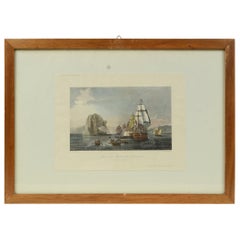
- Antique Lithographic Print of the Diamond Rock Battle Early 1900s, Oakwood FrameLocated in Milan, ITLithographic print of the diamond rock battle, the main port of the island of Martinique, taken from the book Historical Gallery of Versailles 112. Chacoane is the engraver. Original...Category
Early 20th Century French Nautical Objects
MaterialsPaper


Recently Viewed
View AllMore Ways To Browse
Wall Foldable Table
Wall Folding Table
Antique Folding Table Small
Antique Small Folding Table
Small Antique Folding Table
Small Folding Side Table
Camera Table
Folding Camera
Antique Cameras Folding Cameras
Antique Folding Camera
Brown Vintage Shoes
Victorian Knot
Antique Cabinet Gold
Found Object Jewelry
Tapestry Scene
Antique Rings London
Oak And Iron Storage Cabinet
Antique Small Side Cabinet