Items Similar to Two-Part Large Hand-Colored Map of Europe from 1798

Want more images or videos?
Request additional images or videos from the seller
1 of 6
Thomas KitchinTwo-Part Large Hand-Colored Map of Europe from 17981798
1798
About the Item
Map of Europe printed on two separate sheets from A New Universal Atlas by Thomas Kitchin. Published in London by Laurie & Whittle, 1798. Original engravings hand-colored at publication. Each sheet is 21 1/4" x 50". Unframed.
Maker: Thomas Kitchin
- Creator:Thomas Kitchin (1710, British)
- Creation Year:1798
- Dimensions:Height: 42.5 in (107.95 cm)Width: 50 in (127 cm)Depth: 0.02 in (0.51 mm)
- Medium:
- Period:1790-1799
- Condition:has original creases.
- Gallery Location:New York, NY
- Reference Number:
About the Seller
4.9
Recognized Seller
These prestigious sellers are industry leaders and represent the highest echelon for item quality and design.
Gold Seller
These expertly vetted sellers are highly rated and consistently exceed customer expectations.
Established in 1972
1stDibs seller since 2016
176 sales on 1stDibs
Typical response time: 2 hours
Associations
International Fine Print Dealers Association
- ShippingRetrieving quote...Ships From: New York, NY
- Return PolicyA return for this item may be initiated within 14 days of delivery.
More From This SellerView All
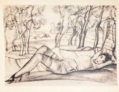
- Tout Pres de Marino.By Marino MariniLocated in New York, NYMARINI, Marino. Tout Pres de Marino. Text by Egle Marini. Illustrated with 10 original etchings by Marini. Atlas folio, loose as issued in wrappers and cloth folding box. Paris:...Category
1970s More Art
MaterialsPaper
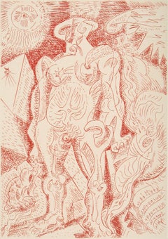
- Shadows.By Carroll DunhamLocated in New York, NYDUNHAM, Carroll. Shadows. Ten original full sheet drypoints, with justification, title- leaf, and tissue interleaves. Oblong folio, 350 x 584 mm, the whole enclosed in publisher's...Category
1980s More Art
MaterialsPaper
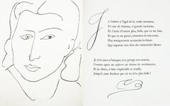
- Intimite.By Boris GrigorievLocated in New York, NYGRIGORIEW, Boris. Intimite. 88 pp. Illustrated with mounted colour frontispiece and numerous full-page and in text illustrations. Small folio, 295 x 230 mm, bound in contemporary p...Category
1910s More Art
MaterialsPaper
- [2, 3]. Geometric Pop Up Book.By Tauba AuerbachLocated in New York, NYAUERBACH, Tauba. [2, 3]. Six separate volumes, each illustrated with one cut-out pop-up figure. Folio, 527 x 419 mm. Each volume bound in different brightly-coloured boards. Lai...Category
2010s More Art
MaterialsPaper
- Le Septieme Chant.Located in New York, NYMASSON, André. Le Septieme Chant. By Alain Jouffroy. Illustrated with 4 engravings by Masson. Folio, loose as issued in the original wrappers and linen-covered slipcase, preserve...Category
1970s Surrealist More Art
MaterialsPaper
- Les Fleurs Du Mal. By Charles Baudelaire.By Henri MatisseLocated in New York, NYMATISSE, Henri. Les Fleurs Du Mal. By Charles Baudelaire. Illustrated with an original etching on Chine, 33 original photo-lithographs, 69 original woodcuts (including initials, c...Category
1940s Modern More Art
MaterialsPaper
![[2, 3]. Geometric Pop Up Book.](https://a.1stdibscdn.com/a_4383/a_133460821698688861797/165795_copy_master.jpg?width=240)
You May Also Like
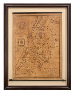
- Map of Palestine or Judea, Illustrating the History of the New TestamentBy Rev. Nathan B. RogersLocated in New York, NYPen and ink on paper, laid down on canvas, mounted to wooden scroll bars Signed and dated lower right: “Drawn by N. B. Rogers August. 1843” Inscribed with an ownership inscription on the verso: Rev. E. D. Daniels, Palmer, Mass. Provenance: Rev. Eugene Davidson Daniels, Palmer, Massachusetts, 1871 This extraordinary manuscript map is a rare survivor of the devotional and educational culture of New England in the first half of the nineteenth century. Although at first glance resembling a large-scale engraving or printed publication, this precisely rendered wall map was entirely drawn by hand, the product of meticulous research by a minister working in isolation in rural Maine. The map shows New Testament era cities, towns, tribal areas, and political borders as well as physical features such as rivers, lakes, mountains, and hills (indicated by half-tone cross-hatching). On to this geographically accurate rendering of the Holy Land, Rogers has located and inscribed significant locales mentioned in the Gospels and has annotated these places with relevant citations from the Bible. He further records these by plotting the travels of Jesus on what resemble a series of trails across the Holy Land. Each is distinguished by a different pattern of dots and dashes – correlated to an explanatory table at the lower right. From this we know that these lines document the “Flight into Egypt and return,” “Travels of Christ from Nazareth to Jerusalem and return,” “Travels from the commencement of his Ministry to the first Passover,” “Travels from the first and the second Passover,” “Travels from Jerusalem to Galilee after the 2nd Passover,” and “Travels from the third Passover to the Crucifixion.” An inset map of “Jerusalem...Category
19th Century More Art
MaterialsCanvas, Paper, Ink, Pen
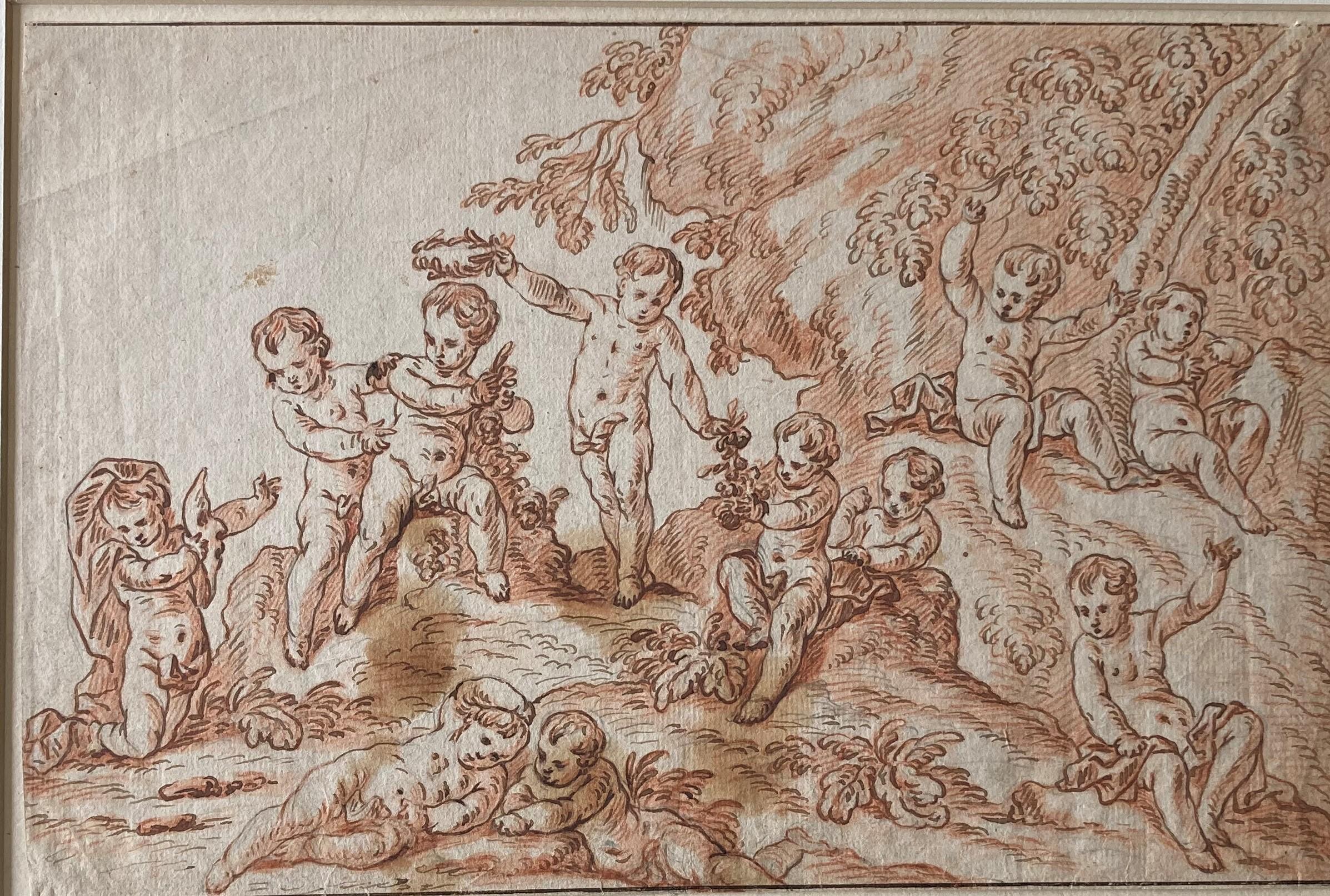
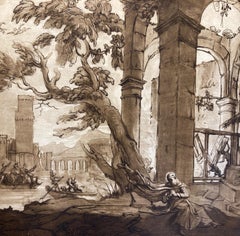
- Putti in a Landscape, Putti playing, flowers, Berchet, French Art, Old MasterBy Pierre BerchetLocated in Greven, DEPierre Berchet, Drawing of Putti playing in a landscape, Painter of decorative history subjects; trained under La Fosse; worked in France and during the 1690s...Category
17th Century Baroque Figurative Drawings and Watercolors
MaterialsHandmade Paper
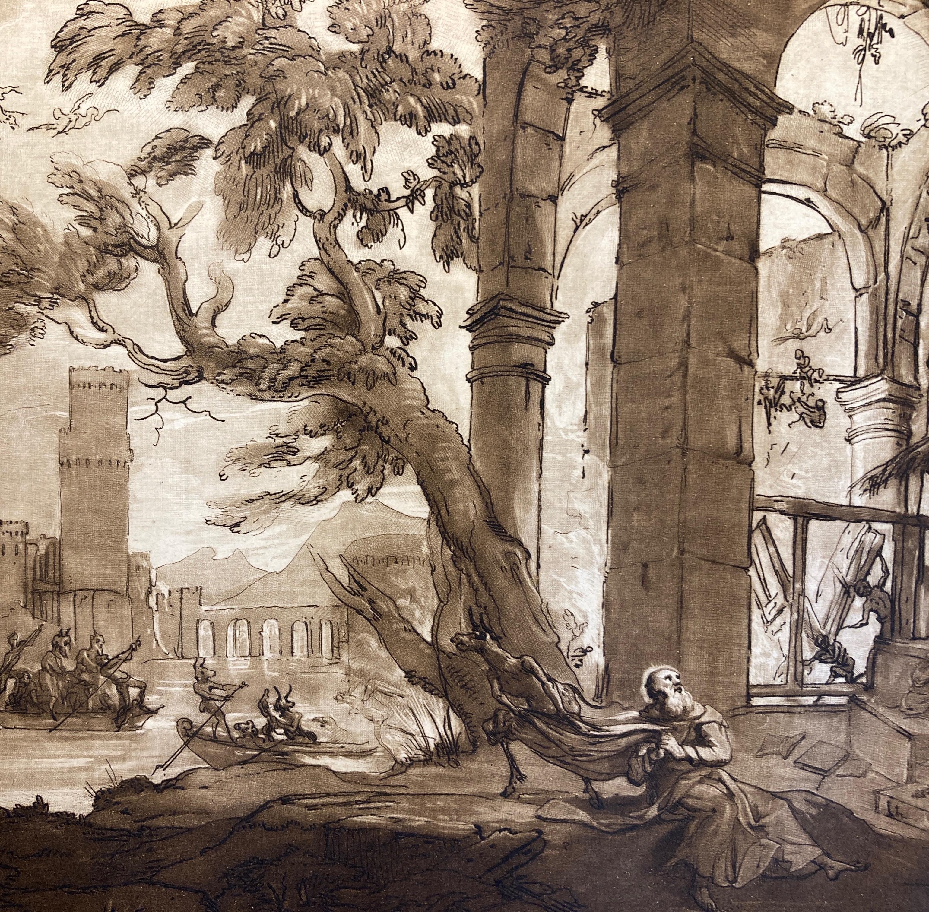
- Claude Lorrain Landscape with temptation of Saint Anthony, Aquatint by EarlomBy (after) Claude Lorrain (Claude Gellée)Located in Greven, DEClaude Lorrain landscape with the temptation of Saint Anthony .Richard Earlom aquatint c1817 by Lorrain, Claude le/Earlom, Richard Country...Category
19th Century Baroque Landscape Prints
MaterialsPaper
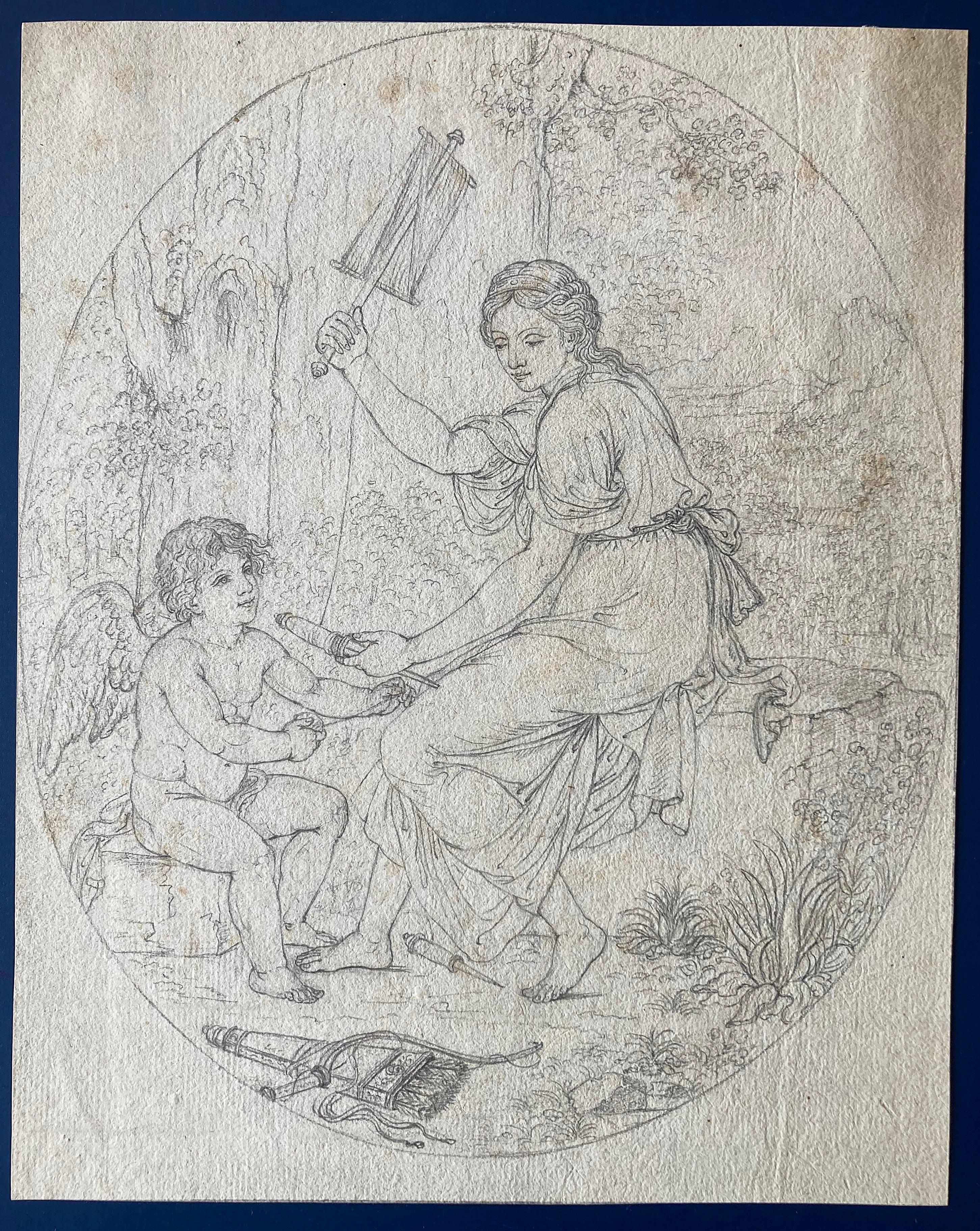
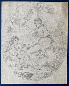
- Circle of Angelika Kauffmann, Venus and Amor, Arrow and Spindle, Oval DrawingLocated in Greven, DEFine drawing in pencil, oval format. Circle of Angelika Kauffmann. The subject is not clear. It is Amor with his arrows and perhaps Venus with a sp...Category
18th Century Romantic Figurative Drawings and Watercolors
MaterialsCrayon, Handmade Paper
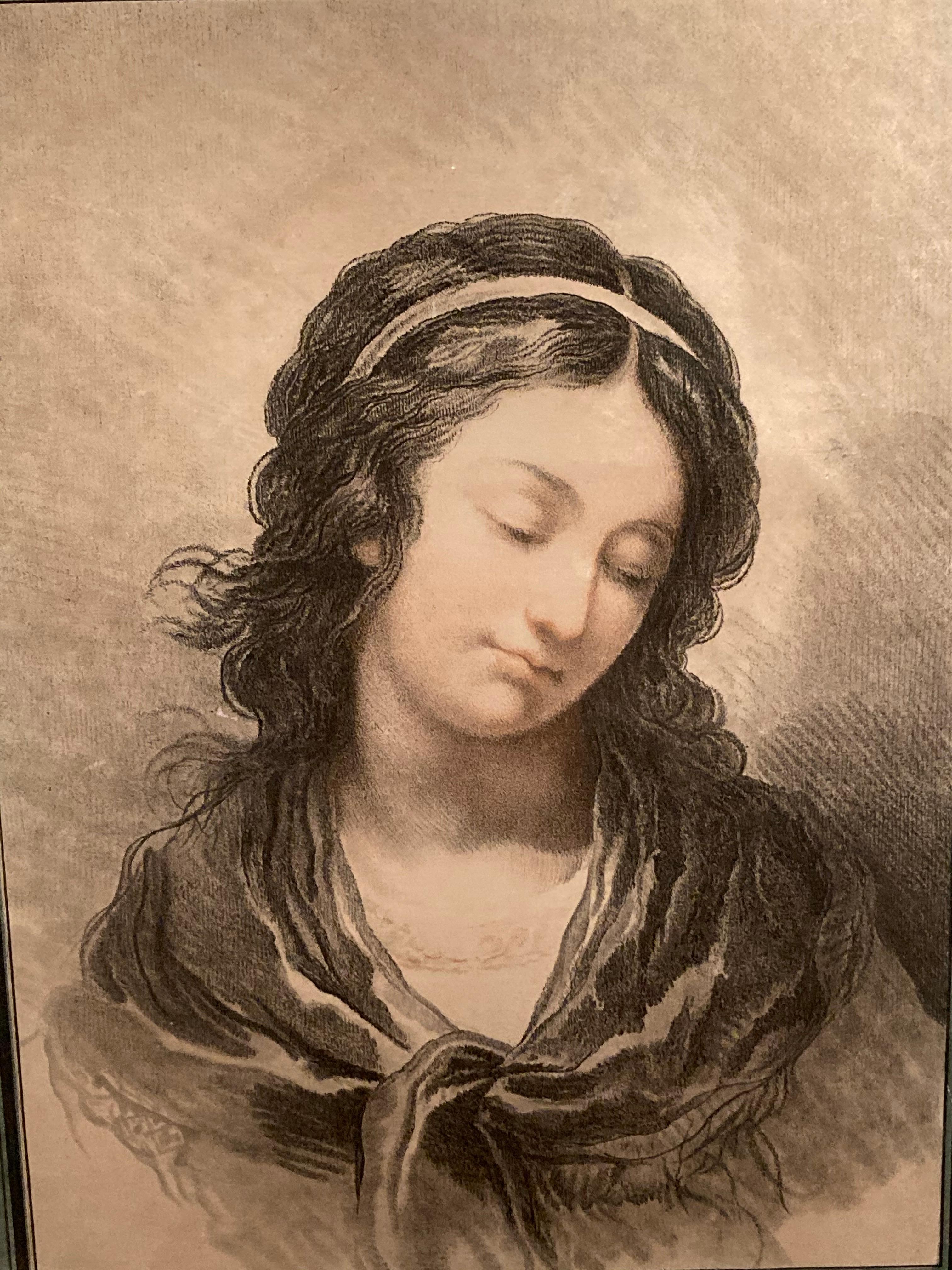
- Pair of Portraits, Two Ladies, Head of a Young Woman, Demarteau, French, RococcoBy Gilles DemarteauLocated in Greven, DECrayon style colouring after Francois-Andre Vincent. The sheets are a typical example of the highly developed colour printing technique used by Gilles Demarteau and his pupil and nep...Category
18th Century Romantic Figurative Prints
MaterialsHandmade Paper
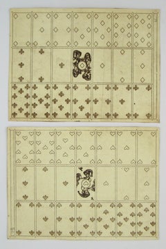
- Merry Andrew No. 30, 1989 by Karl Gerich of Bath - Two Playing Card Print SheetsLocated in Meinisberg, CHKarl Alexander Gerich (English, 23.4.1956 - 4.1.2016) Merry Andrew No. 30, 1989 - Etchings - Sheet 24 x 32 cm - No plate mark (trimmed sheets) With t...Category
1980s Naturalistic Figurative Prints
MaterialsPaper, Ink, Etching


Recently Viewed
View AllMore Ways To Browse
Hand Colored
Original Antique Engraving
Map Of Europe
Maps Of Europe
Antique Map Art
Hand Colored Map
Antique Maps Of Europe
London Colored Engravings
Thomas Whittle
Thomas Kitchin On Sale
Retro Space Alien
Pooh Vintage
Abstract Bookshelf
Doll Parts
Animation Cel Hand Drawing
200 Louis Vuitton
Louis 200 Louis Vuitton
Joyce Grasso