Items Similar to Tobias and the Angel

Want more images or videos?
Request additional images or videos from the seller
1 of 5
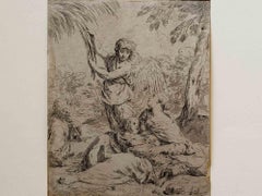
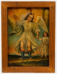
Hendrik GoudtTobias and the Angel1613
1613
$12,000
£9,155.42
€10,469.77
CA$16,910.56
A$18,439.16
CHF 9,785.48
MX$222,923.44
NOK 123,842.30
SEK 113,518.69
DKK 78,198.36
About the Item
References:
Bartsch, Dutuit and Hollstein 2
- Creator:Hendrik Goudt (1585 - 1630, Dutch)
- Creation Year:1613
- Dimensions:Height: 10 in (25.4 cm)Width: 10 in (25.4 cm)
- Medium:
- Movement & Style:
- Period:
- Condition:
- Gallery Location:Chicago, IL
- Reference Number:1stDibs: LU36535746332
About the Seller
5.0
Recognized Seller
These prestigious sellers are industry leaders and represent the highest echelon for item quality and design.
Established in 1955
1stDibs seller since 2016
15 sales on 1stDibs
Typical response time: Several days
Associations
International Fine Print Dealers Association
- ShippingRetrieving quote...Shipping from: Chicago, IL
- Return Policy
More From This Seller
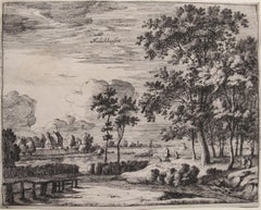
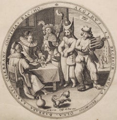
View AllHedickhuyfen
Located in Chicago, IL
from the series of eight views of Provincial Holland and Ultrecht
Category
17th Century Landscape Prints
Materials
Etching
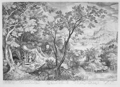
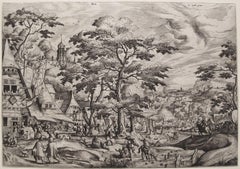
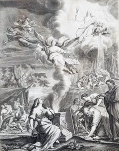
Landscape with the Prophets Ahias and Jerobeam
Located in Chicago, IL
Engraving after David Vinckboons (Malines 1576-1629 Amsterdam), executed by James Van Londerseel (Antwerp c. 1570 - 1624/25 Rotterdam)
Category
17th Century Old Masters Prints and Multiples
Materials
Engraving
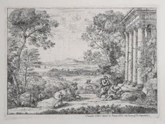
Mercury and Argus (2nd State)
Located in Chicago, IL
References:
Blum 38 II/IV
Robert-Dumesnil 17 I/III
Russell 49 II/IV
Mannocci 42 IIb/III
Category
17th Century Old Masters Prints and Multiples
Materials
Etching
February, from the Months of the Year
By Crispin De Passe
Located in Chicago, IL
engraving after Maarten de Vos (1532-1603)
Category
17th Century Prints and Multiples
Materials
Engraving
Kermess
By Hans Bol
Located in Chicago, IL
2nd State
Watermark: Hand with Cuff and Flower (close to Briquet 11467)
Category
16th Century Landscape Prints
Materials
Etching
$3,500
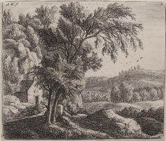
The Hermitage
By Anthonie Waterloo
Located in Chicago, IL
2nd State of three States
Category
17th Century Landscape Prints
Materials
Etching
You May Also Like
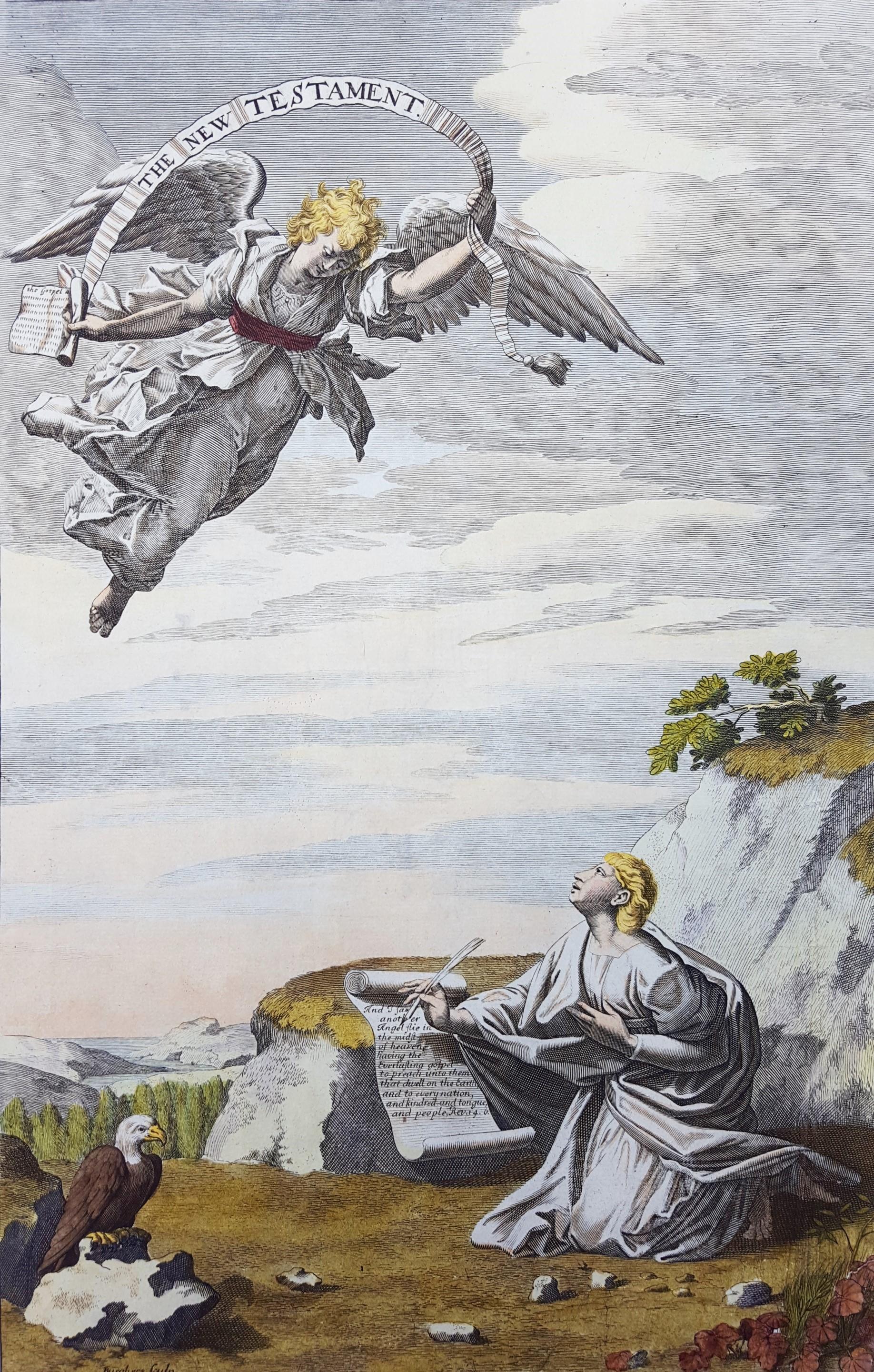
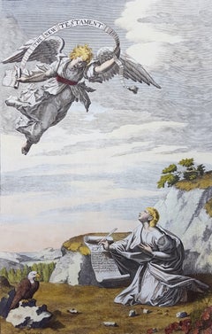
The New Testament /// Old Masters Biblical Religious Engraving Dutch Angel Art
By Michael Burghers
Located in Saint Augustine, FL
Artist: Michael Burghers (Dutch, c.1647/1648-1727)
Title: "The New Testament"
Portfolio: Holy Bible
*Signed by Burghers in the plate (printed signature) lower left
Year: 1680
Medium...
Category
1680s Old Masters Figurative Prints
Materials
Watercolor, Laid Paper, Engraving, Etching, Intaglio
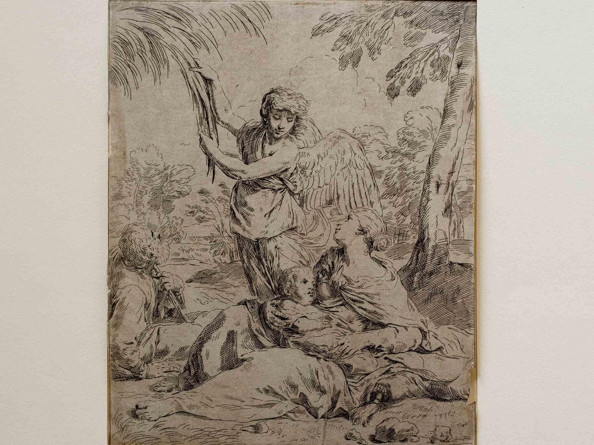
The Arrival of the Angel - Etching By Simone Cantarini - 17th Century
Located in Roma, IT
The Arrival of the Angel is an old master artwork realized by Simone Cantarini in 17th Century.
Black and white etching.
Image dimensions: 21x17
Mo...
Category
17th Century Old Masters Figurative Prints
Materials
Etching
Aurora sive Tempus Matutinum; Der Wohl und Übel angewandte Morgen /// Old Master
Located in Saint Augustine, FL
Artist: (after) Johann Daniel Preissler (German, 1666-1737)
Title: "Aurora sive Tempus Matutinum; Der Wohl und Übel angewandte Morgen (Dawn or Morning Time; The Morning Used for Better or For Worse)"
Portfolio: Die Vier Tageszeiten (The Four Times of Day)
Year: 1723
Medium: Original Etching and Engraving on laid paper
Limited edition: Unknown
Printer: likely Johann Balthasar Probst, Augsburg, Germany
Publisher: Jeremias Wolff (Erben), Augsburg, Germany
Reference: Le Blanc No. 255, 38; Nagler No. 23
Sheet size: 22.57" x 16.38"
Image size: 17.75" x 14"
Condition: Soft handling creases, folds, and scattered faint areas of discoloration to sheet. Three tears skillfully repaired from verso. Has been professionally stored away for decades. It is otherwise a strong impression in good condition with full margins
Extremely rare
Notes:
Provenance: private collection - Aspen, CO. Engraved by German artist Johann Balthasar Probst (1673-1750) after a drawing by German artist Johann Daniel Preissler (1666-1737). Comes from Preissler's 1723 "Die Vier Tageszeiten (The Four Times of Day)" portfolio of four etchings and engravings. Printed from one copper plate in one color: black. Descriptions of the portrayed image are printed in Latin and German.
Biography:
Johann Daniel Preissler, or Preisler (1666–1737) was a German painter and director of Nuremberg's Academy of Fine Arts. He was a notable member of a German artistic family, originating in Bohemia. His children included Johann Justin Preissler (1698–1771), Georg Martin Preisler (1700–1754), Barbara Helena Preisler (1707–1758; married to Oeding), Johan Martin Preisler (1715–1794), and Valentin Daniel Preisler (1717–1765), all in their time renowned artists. Most notable for his portraits, nudes and history paintings, Johann Daniel Preissler also produced drawings and frescoes. He was particularly known beyond his native Nuremberg for his "Die durch Theorie erfundene Practic", a sequence of works on art theory – the individual works were translated into several other languages and served as textbooks for students such as the Swiss Salomon Gessner...
Category
1720s Old Masters Figurative Prints
Materials
Laid Paper, Engraving, Etching
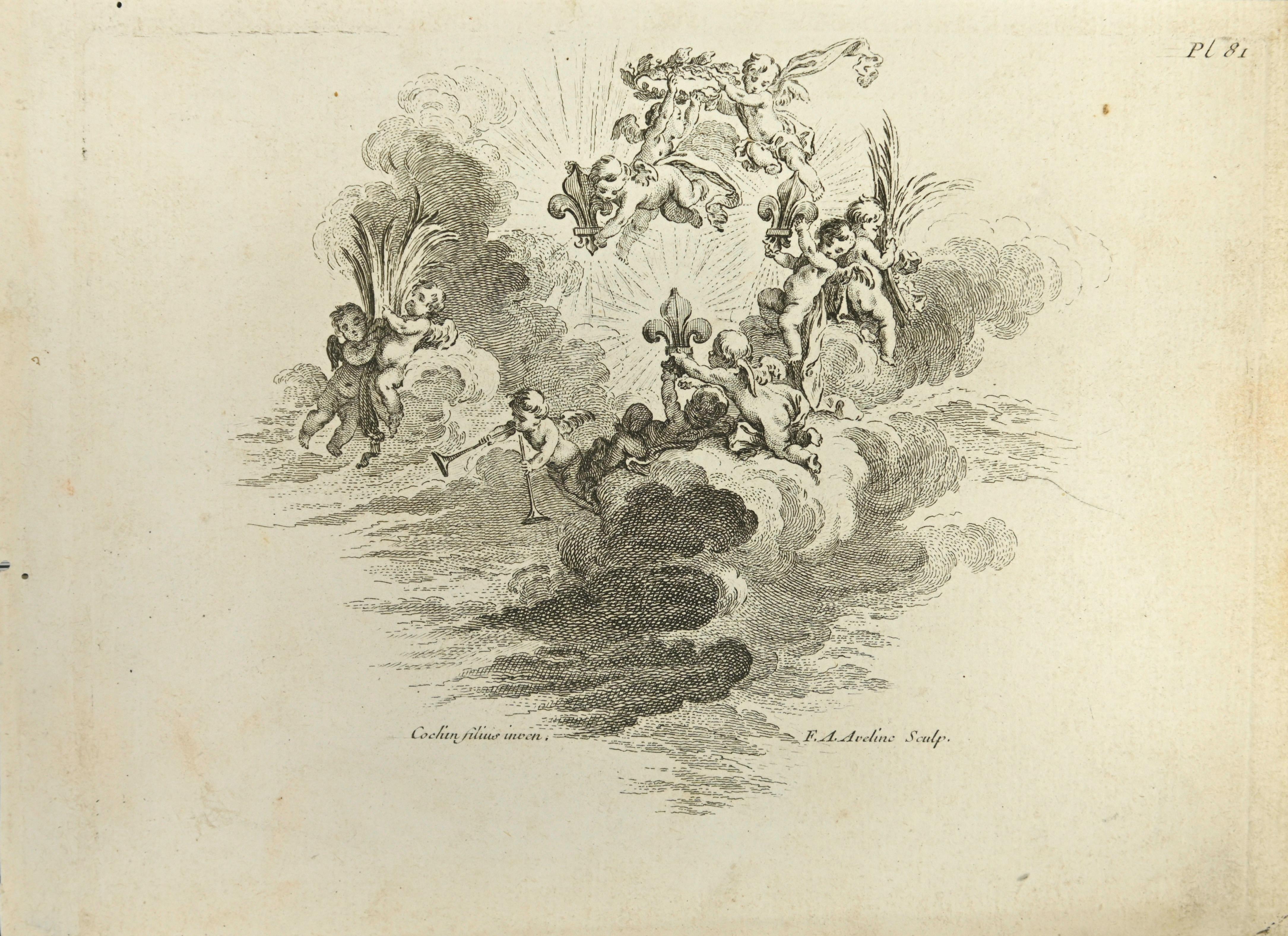
Angels - Etching by Nicholas Cochin - 1755
Located in Roma, IT
Angels is an etching realized by Nicholas Cochin in 1755.
Good conditions with slight foxing and aged margins.
Signed in the plate.
The etching was ...
Category
1750s Modern Figurative Prints
Materials
Etching
Leucothoé et Apollon, from "Le Temple des Muses"
By Bernard Picart
Located in Roma, IT
Black and white etching on wire rod paper, representing "Leucothoe seduced by Apollo in the shape of Eurynome", as the capture reports.
Beautiful plate with fresh impression, from the volume “Le Temple des Muses...
Category
1740s Old Masters Figurative Prints
Materials
Etching
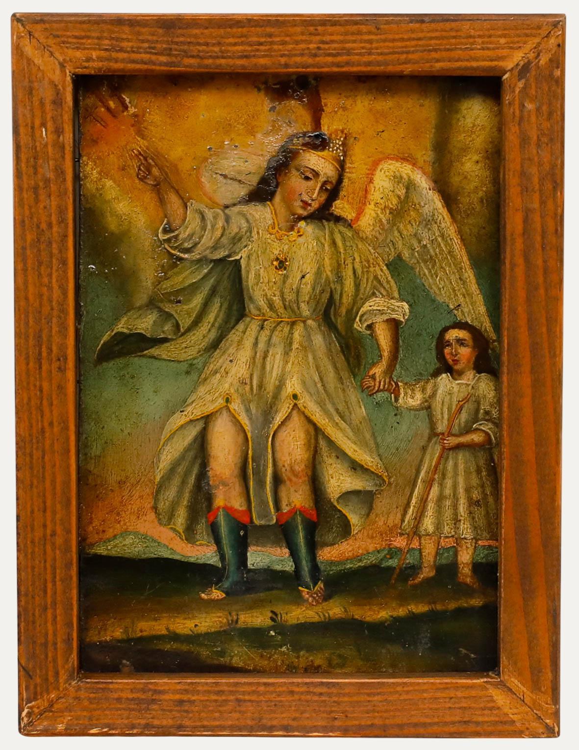
19th Century Oil - Tobias and the Angel
Located in Corsham, GB
A charming 19th century oil depicting the story of archangel Raphael and Tobias. Tobias, guided by the angel Raphael journeys to heal his father's blindness. Unsigned. Well presented...
Category
19th Century Figurative Paintings
Materials
Oil
More Ways To Browse
Antique Angels
Tobias Antique
Angel 17th Century
Vintage Lido Posters
Vintage Pin Up Posters
Wallpaper Friezes
Watercolor Prints Trees
80s Pop Art
Alex Katz Vivien
Alex Katz Yellow Flags
Andrew Wyeth Lithograph
Andrew Wyeth Poster
Antique Prints Sydney
Antique Stone Grinder
Art Deco Exhibition Posters
Bruce Ricker
Cathelin Lithograph
Christian Signed Prints