Want more images or videos?
Request additional images or videos from the seller
1 of 8

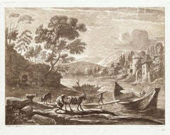
Claude Lorrain
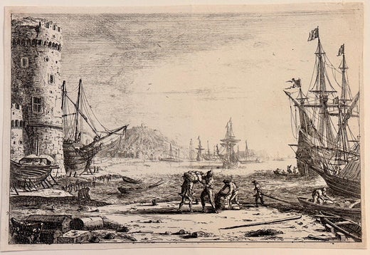
17th century etching black and white landscape harbor ruins figures scene

1668

About the Item

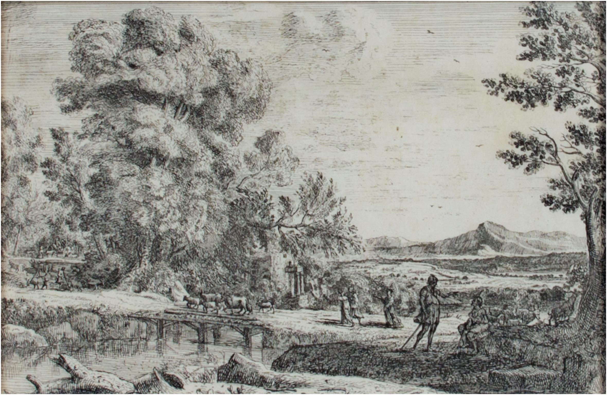
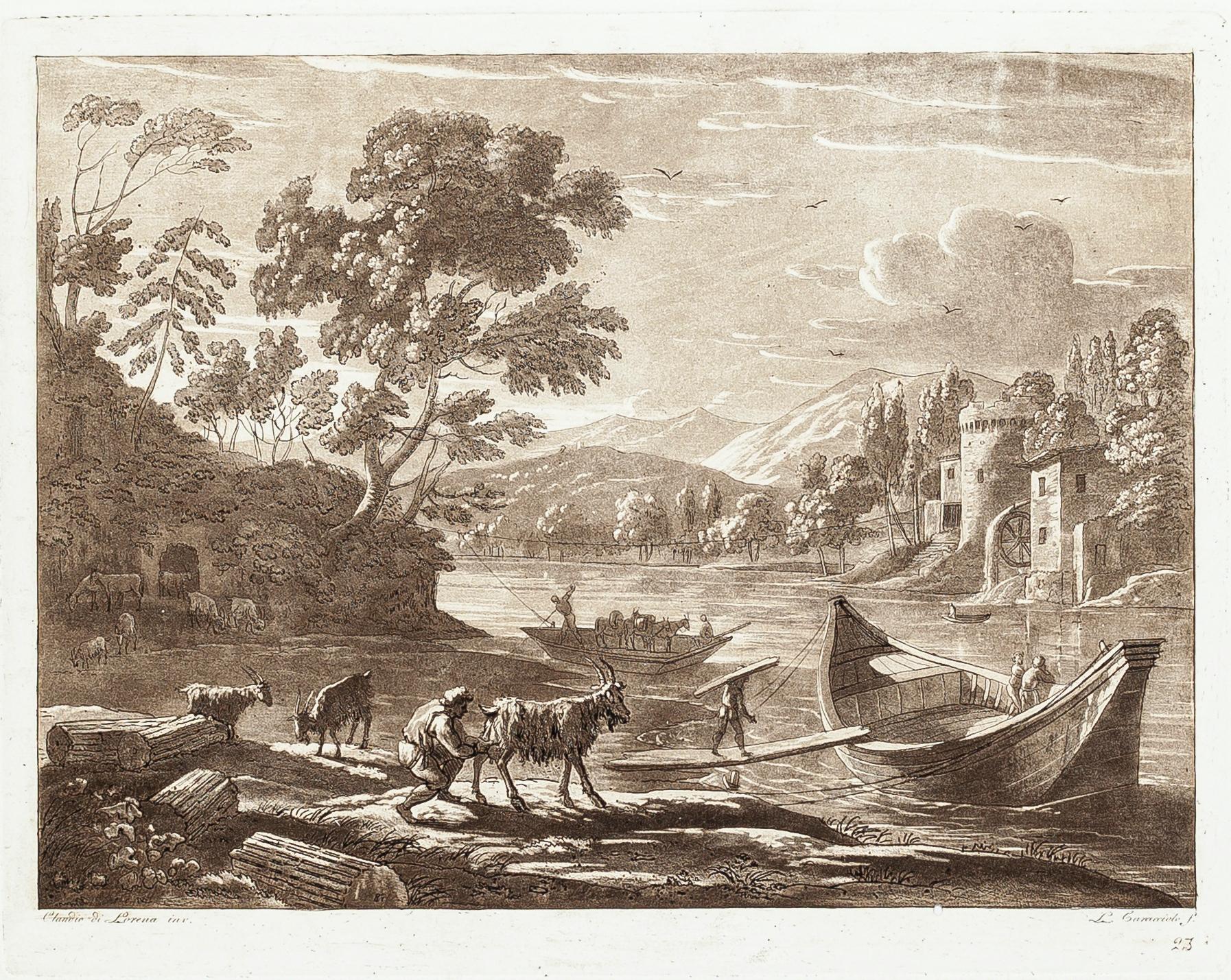
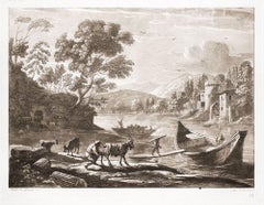
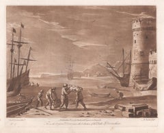
"Harbour Scene" is an engraving by Claude Gellee (Le Lorrain). The artist signed the piece in plate lower left. 7 3/4" x 9 5/8" art 18 1/8" x 20 1/4" frame Biography Claude Lorrain was born in c. 1604 into poverty in the town of Chamagne, Vosges in Lorraine—then the Duchy of Lorraine, an independent state until 1766 in northeastern France. He was one of five children. His name was Claude Gellée, however, he is known by the province in which he was born. He is often simply called Claude. Orphaned by the age of twelve, he went to live in Freiburg with an elder brother, Jean Gellée, a woodcarver. Claude went to Rome and then Naples from 1619 to 1621, where he apprenticed under Goffredo (Gottfried) Wals. He returned to Rome in April of 1625 and was apprenticed to Augustin Tassi. Claude toured in Italy, France, and Germany, including his native Lorraine. Claude Deruet, painter to the Duke of Lorraine, kept him as an assistant for a year. He painted architectural subjects in Nancy at the Carmelite church. In 1627, Claude returned to Rome. Two landscapes commissioned by Cardinal Bentivoglio earned him the patronage of Pope Urban VIII. From about 1627, he rapidly achieved fame as a painter of landscapes and seascapes. Apparently, he befriended his fellow Frenchman, Nicolas Poussin; together they would travel the Roman Campagna, sketching landscapes. Although both artists have been called landscape painters, they were history painters. In Poussin’s work, landscape is a backdrop for the figures that dominate the composition. Claude’s work is more landscape dominant, yet figures are always present. To avoid the repetition of subjects and to combat copiers of his work, Claude made drawings of the pictures he sent to all his patrons. On the back of each drawing, he wrote the name of the purchaser. Called the Liber Veritatis (Book of Truth), the volume became a valuable study guide for Claude’s work. Claude Lorrain died in Rome in November of 1682, leaving his wealth to his only surviving relatives, a nephew and an adopted daughter (possibly his niece). Legacy Landscape was not considered a serious subject for painting during Claude’s time. Despite his mastery of landscape and his legacy as one of the most accomplished landscape painters in Western art history, Claude was known during his time as a history painter, representing mythical and religious subjects. In seventeenth-century Europe, landscape, like still life and genre painting, reflected an aesthetic viewpoint that lacked moral seriousness. In the matter of the importance of landscape, Claude was prescient. He did not depict the uninhabited panoramas that were esteemed in later centuries, rather his works featured pastoral worlds populated by classical ruins or seascapes. To satisfy his patrons, his pictures include gods, heroes, and saints, even though his sketchbooks contain many drawings of the natural world. Joachim van Sandrart, a German artist and one of Claude’s biographers, described the artist’s working methods for capturing the essence of nature. He wrote that Claude “... studied his art with great seriousness and application; he tried by every means to penetrate nature, lying in the fields before the break of day and until night in order to learn to represent very exactly the red morning sky, sunrise and sunset and the evening hours. When he had well contemplated one or the other in the fields he immediately prepared his colours accordingly, returned home and applied them to the work he had in mind with much greater naturalness than anyone had ever done.” John Constable described Claude Lorrain as "the most perfect landscape painter the world ever saw", and declared that in Claude’s landscape "all is lovely - all amiable - all is amenity and repose; the calm sunshine of the heart"
  • Creator:
    Claude Lorrain (1604 - 1682, French)
  • Creation Year:
    1668
  • Dimensions:
    Height: 18.125 in (46.04 cm)Width: 20.25 in (51.44 cm)
  • Medium:
  • Movement & Style:
  • Period:
    Mid-17th Century
  • Condition:
  • Gallery Location:
    Milwaukee, WI
  • Reference Number:
    Seller: 12378c1stDibs: LU605313405692

More From This Seller

View All
17th century engraving black and white landscape ancient building scene
By Israel Silvestre
Located in Milwaukee, WI
"Tempio Della Pace" is an original engraving by Israel Silvestre. The title is printed below the miniature image. It shows a frontal view of the remains of the Temple of Peace in Rom...
Category

1650s Old Masters Landscape Prints

Materials

Paper, Ink, Engraving

18th century landscape etching pastoral house nature scene detailed ink trees
By John Thomas Smith
Located in Milwaukee, WI
"Figure by the Cottage in Forest" is an original etching by John Thomas Smith. The miniature landscape shows a pair of cottages in the woods, nestled back into the trees. A river flo...
Category

1790s Old Masters Landscape Prints

Materials

Paper, Ink, Etching

18th century landscape etching pastoral nature scene detailed ink trees
By John Thomas Smith
Located in Milwaukee, WI
"Near Tottenham Midd." is an original etching by John Thomas Smith at the top right of the image, reading "Drawn & Etch'd by J. T. Smith, Engraver of the Antiquities of London & Envi...
Category

1790s Old Masters Landscape Prints

Materials

Paper, Ink, Etching

18th century landscape etching pastoral house nature scene detailed ink trees
By John Thomas Smith
Located in Milwaukee, WI
"English Country Fisherman by the Cottage" is an original etching by John Thomas Smith. The miniature etching features a country cottage with a thatc...
Category

1790s Old Masters Landscape Prints

Materials

Paper, Ink, Etching

17th century etching black and white landscape scene forest trees figures sky
By Claude Lorrain
Located in Milwaukee, WI
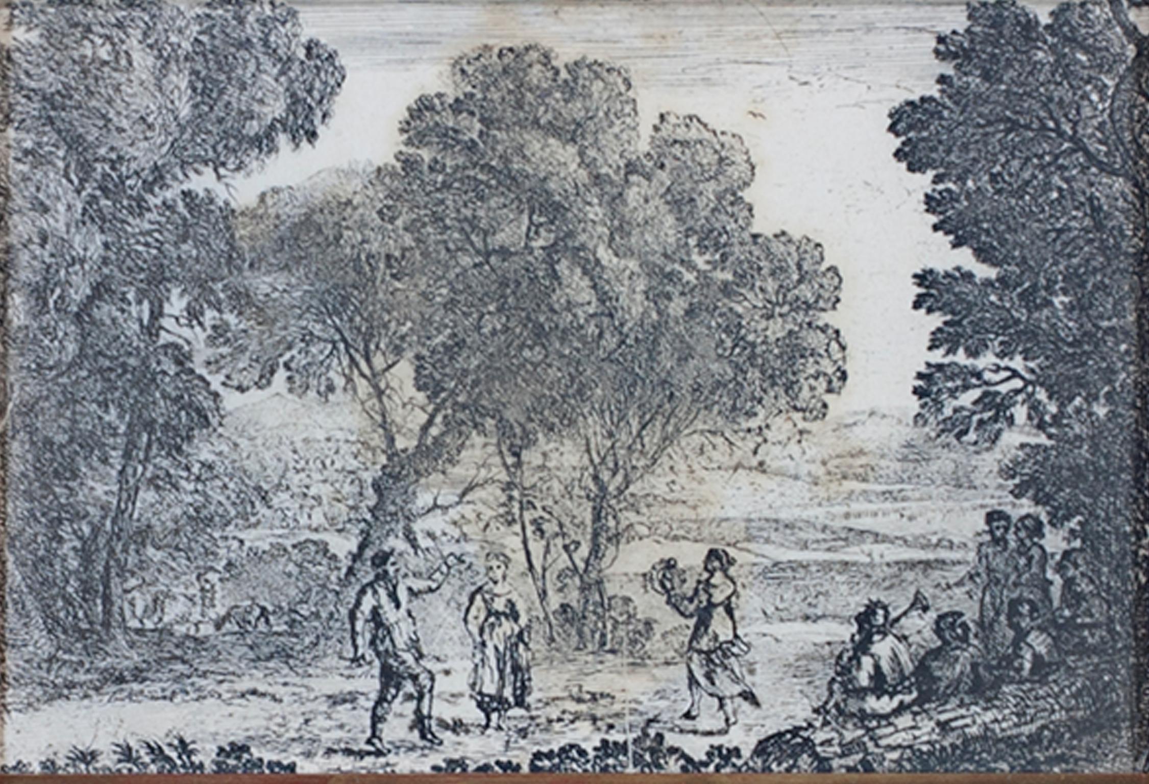
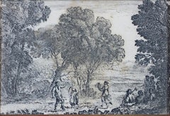
"La Danse Sous Les Arbes (The Country Dance)" is an etching by Claude Gellee (Le Lorrain). This etching is in the collections of the Metropolitan Museum and the Louvre. Publisher: Ma...
Category

Mid-17th Century Old Masters Landscape Prints

Materials

Etching

17th century etching black and white figurative landscape obelisk buildings
By Jan Frans van Bloemen (Orizzonte)
Located in Milwaukee, WI
"Figures at the Obelisk" is an original etching by Jan Frans van Bloemen. It depicts two people conversing in front of a monument. Behind them, an expansive landscape sprawls. 9 1/4" x 6 3/4" art 21 3/4" x 19 3/8" frame Jan Frans van Bloemen (baptized 12 May 1662 - buried 13 June 1749) was a Flemish landscape painter mainly active in Rome. Here he was able to establish himself as the leading painter of views (vedute) of the Roman countryside depicted in the aesthetic of the classical landscape tradition. Van Bloemen predominantly painted classical landscapes, taking his inspiration from the Roman Campagna. His landscapes, with their recession through a series of planes, soft, warm lightning and classical and religious subject matter, drew on the examples of artists such as Claude Lorrain and Gaspard Dughet. His paintings are exquisitely imbued with that "difficult-to-define pastoral ambience" which helped to make him such a great painter in the eyes of his contemporaries. The technique and subjects of the work of Jan Frans van Bloemen are also related to painters such as Jan Asselijn, Thomas Wyck...
Category

18th Century Old Masters Landscape Prints

Materials

Etching

You May Also Like

Meissen, Germany : A Large Framed 18th Century Map by Petrus Schenk
Located in Alamo, CA
This is a hand-colored 18th century map of the Meissen region of Germany, entitled "Geographischer Entwurff Derer Aemmter Meissen als Creys-Procuratur-Schul-und Stiffts-Ammt benebst ...
Category

Mid-18th Century Old Masters Landscape Prints

Materials

Engraving

Frankfort, Germany: A 16th Century Hand-colored Map by Braun & Hogenberg
By Franz Hogenberg
Located in Alamo, CA
This is a 16th century original hand-colored copperplate engraved map of Frankfort, Germany entitled "Francenbergum, vel ut alij Francoburgum Hassiae Opp" by Georg Braun & Franz Hogenberg, from their famous city atlas "Civitates Orbis Terrarum", published in Cologne, Germany in 1595. This is an English translation of an excerpt from the original text in the atlas: "Frankenberg or, according to others, Francoburgum, a town in Hesse. Charlemagne vested the town of Frankenberg with many freedoms and privileges, which it still enjoys to this day, and on account of its valiant and victorious soldiers awarded a signet, upon which there formerly appeared a golden castle with a tower, together with the letter F and a golden crown. Frankenberg, seen here from the northeast, lies on a hill above the River Eder. The hillside is covered with fields neatly separated by bushes and fences. Soaring above the town is the massive Liebfrauenkirche, which was modelled on St Elizabeth's church in Marburg. The New Town was founded in 1335 at the foot of the hill (right) and merged with the Old Town as late as 1556. Frankenberg was founded by Conrad of Thuringia in 1233/34 to prevent the archbishops of Mainz from expanding their sphere of influence...
Category

16th Century Old Masters Landscape Prints

Materials

Engraving

Column of Antoninus Pius, Rome Italy. Jacobs Lauro 17th century engraving
Located in Melbourne, Victoria
Lauro produced a series of engravings of the ancient monuments of Classical Rome with detailed descriptions in Latin below. 180mm by 240mm (plate mark)...
Category

Early 17th Century Old Masters Landscape Prints

Materials

Engraving, Etching

Danube River, Italy, Greece and Croatia: A Hand-colored 18th C. Homann Map
By Johann Baptist Homann
Located in Alamo, CA
"Fluviorum in Europa principis Danubii" is a hand-colored map of the region about the Danube river created by Johann Baptist Homann (1663-1724) in his 'Atlas Novus Terrarum', publish...
Category

Early 18th Century Old Masters Landscape Prints

Materials

Engraving

Sweden and Adjacent Portions of Scandinavia: A Hand-colored 18th C. Homann Map
By Johann Baptist Homann
Located in Alamo, CA
This hand-colored copper-plate map of Sweden and adjacent portions of Scandinavia entitled "Regni Sueciae in Omnes suas Subjacentes Provincias accurate divisi Tabula Generalis" was c...
Category

Early 18th Century Old Masters Landscape Prints

Materials

Engraving

Hand Colored 18th Century Homann Map of Austria Including Vienna & the Danube
By Johann Baptist Homann
Located in Alamo, CA
"Archiducatus Austriae inferioris" is a hand colored map of Austria created by Johann Baptist Homann (1663-1724) and published in Nuremberg, Germany in 1728 shortly after his death. ...
Category

Early 18th Century Old Masters Landscape Prints

Materials

Engraving

Recently Viewed

View All