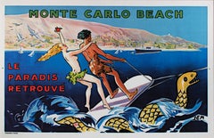
"Monte Carlo Beach" original lithograph travel poster by Georges Goursat (SEM)
View Similar Items


Georges Goursat (Sem)"Monte Carlo Beach" original lithograph travel poster by Georges Goursat (SEM)c. 1932
c. 1932
About the Item
- Creator:Georges Goursat (Sem) (1863, French)
- Creation Year:c. 1932
- Dimensions:Height: 31 in (78.74 cm)Width: 47 in (119.38 cm)
- Medium:
- Movement & Style:
- Period:
- Condition:
- Gallery Location:Milwaukee, WI
- Reference Number:Seller: 1197d1stDibs: LU60535600652
Georges Goursat (Sem)
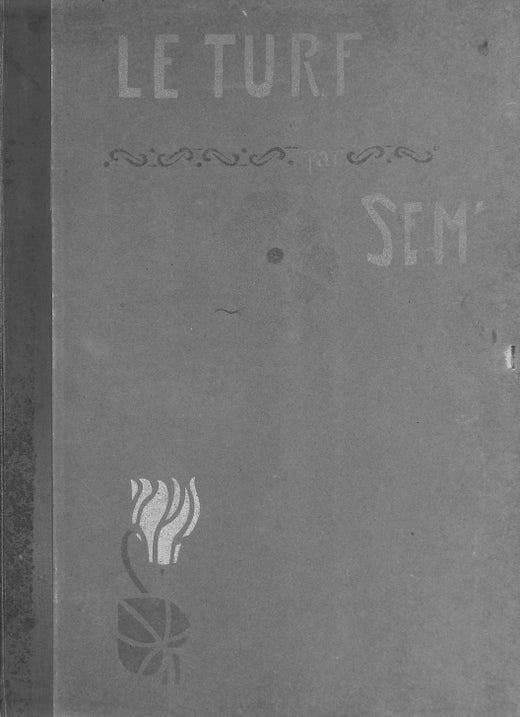
Georges Goursat was a French caricaturist known as Sem. In 1888, Goursat self-published three albums of caricatures, signing them Sem. It is thought that this was in tribute to the early 19th-century French caricaturist and lithographer Charles Amédée de Noé, who signed his caricatures for the periodical “Le Monde Illustré” as "Cham." A charming and talented man, Goursat was working in Paris at the time of the opening of the Universal Exposition in 1900, where the Art Nouveau style in architecture and decoration was hugely popular. His inspiration came from observing French high society enjoying life at restaurants, at the opera and at the races. Goursat actually chose horse racing as his way of entry to French "Beau Monde." Just three months after his arrival to Paris he self-published an album titled “Le Turf” with caricatures of many prominent Parisians. The success of this album made him famous overnight. Goursat supported himself selling illustrations both humorous and serious to the French major periodicals of the day. He put together albums of caricatures depicting high society in Monte Carlo, Deauville, the Cote d’Azur, and Paris. He wrote articles and created posters illustrating the tourist towns of Deauville, Cannes and Monte Carlo. His art is particularly associated with the Belle Epoque and his unique style of drawing brought him great success and fame.
More From This Seller
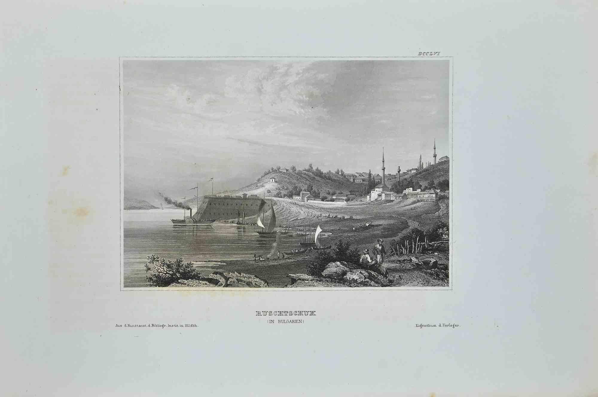
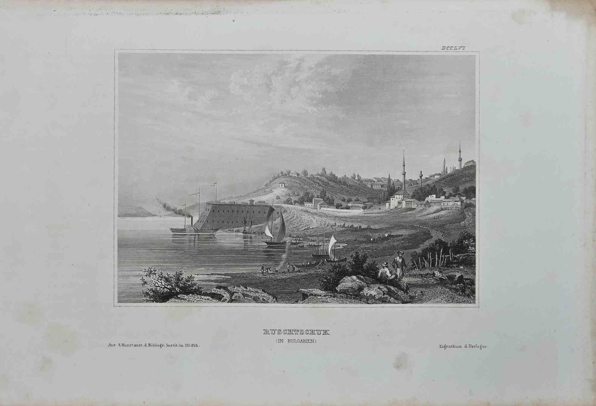
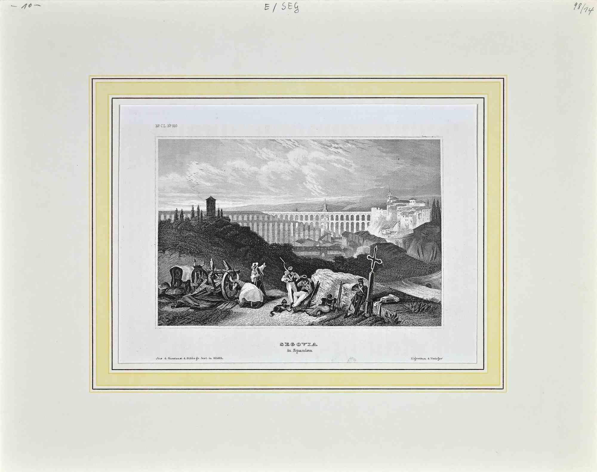
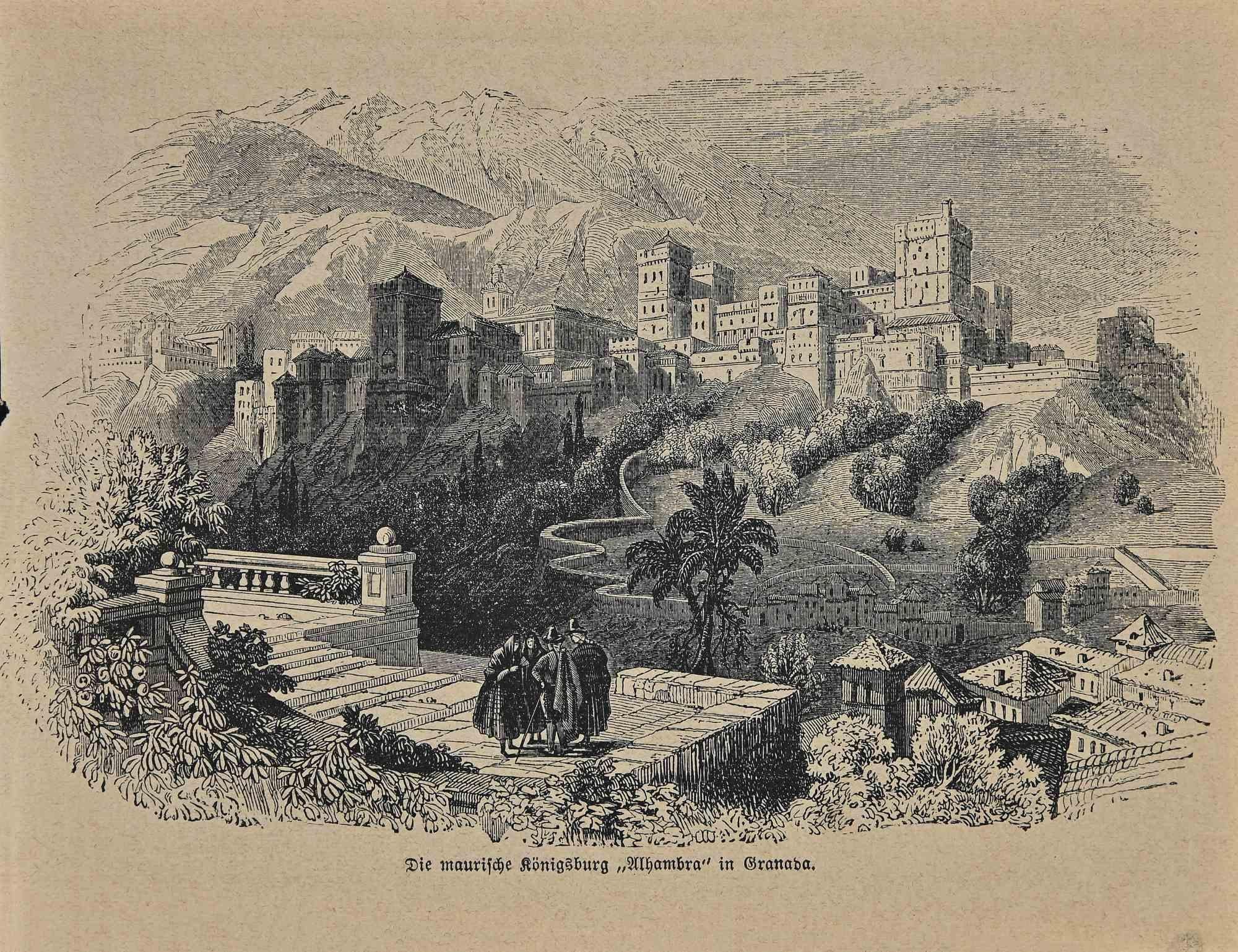
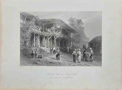
View All1850s Romantic Landscape Prints
Lithograph
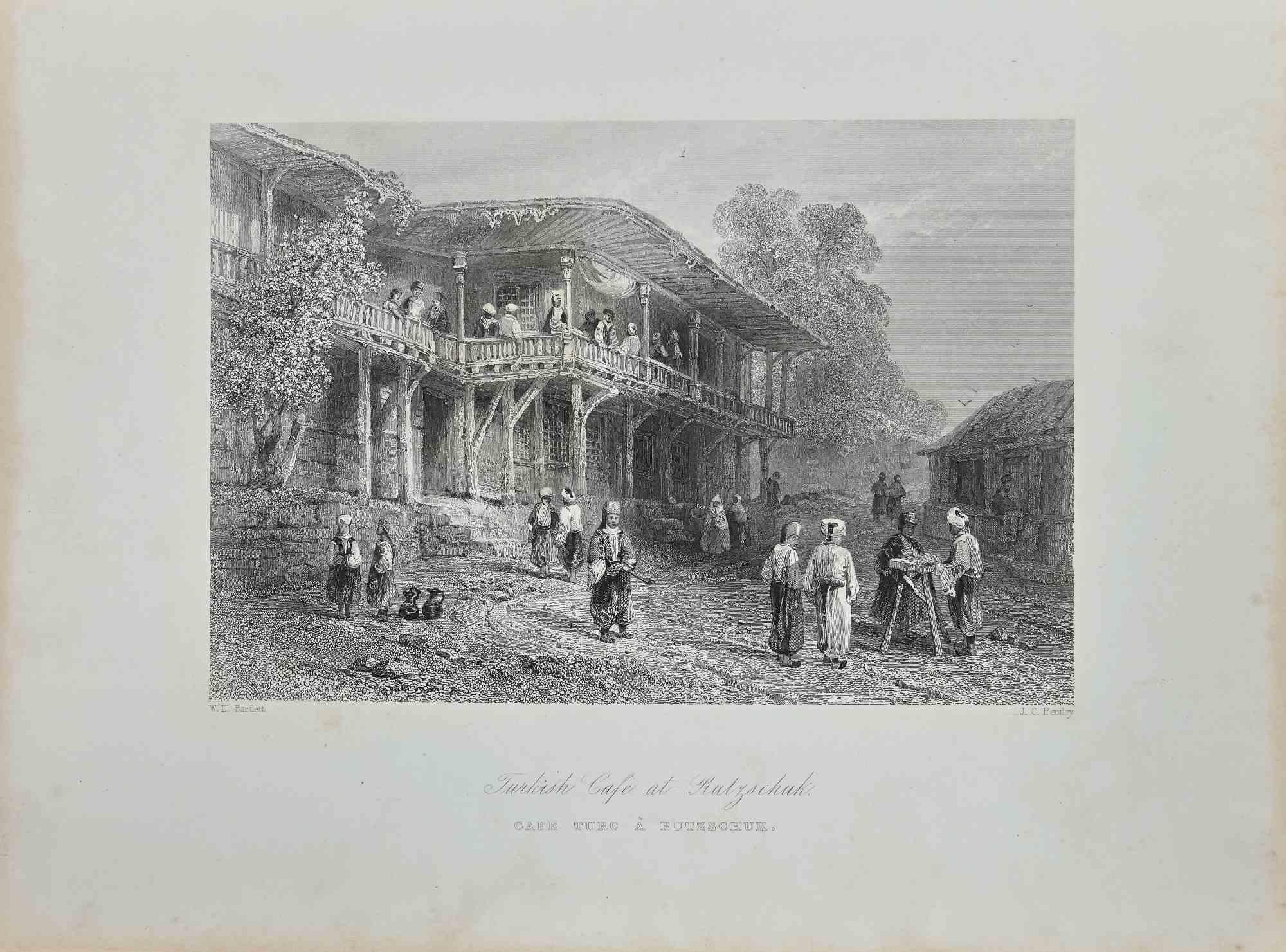
1850s Romantic Landscape Prints
Lithograph
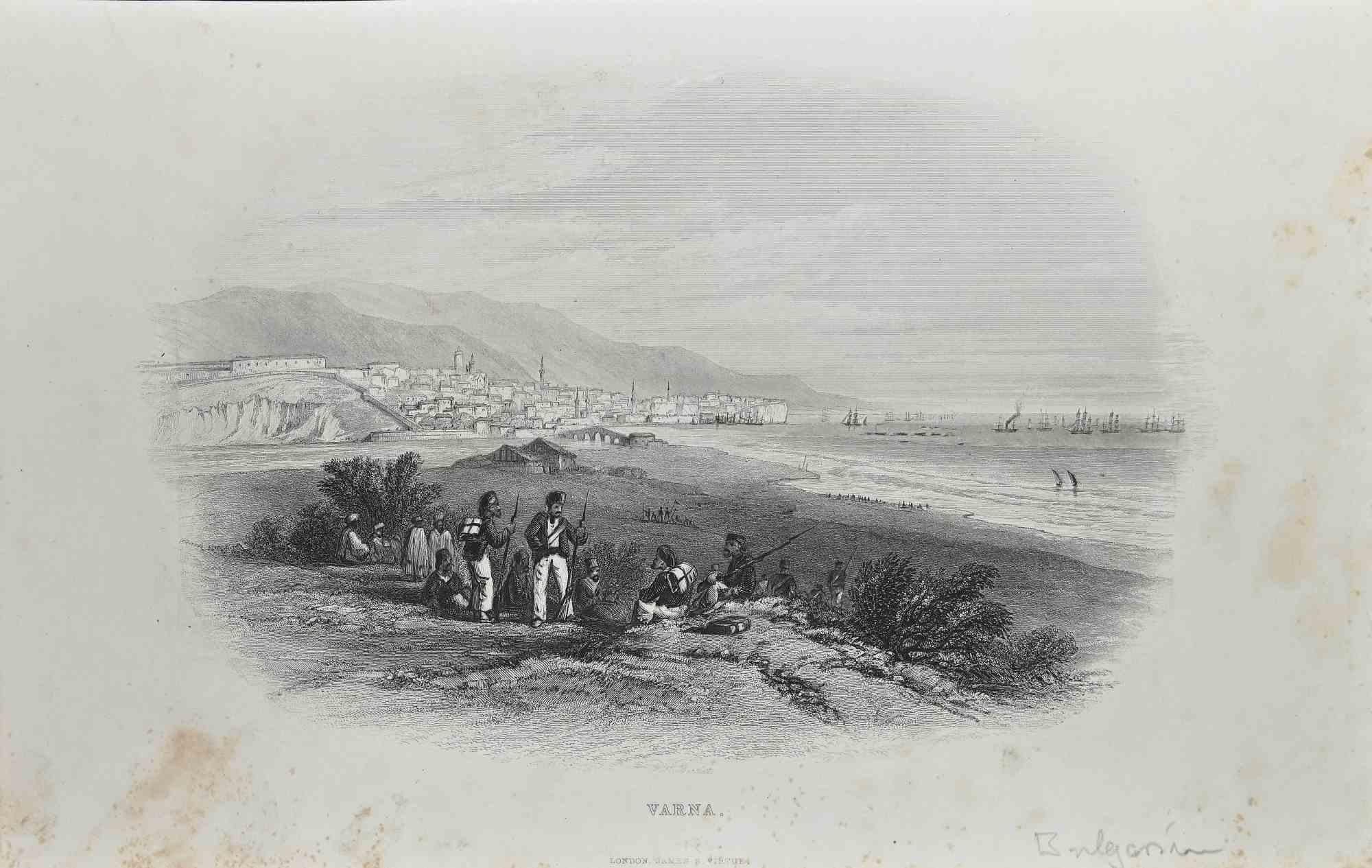
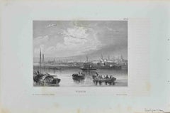
1850s Romantic Landscape Prints
Lithograph
Early 1900s American Realist Landscape Prints
Lithograph, Ink
Mid-19th Century Romantic Figurative Prints
Watercolor, Lithograph
1890s Other Art Style Figurative Prints
Lithograph
You May Also Like
1950s Modern Landscape Prints
Lithograph

19th Century Modern Figurative Prints
Lithograph
19th Century Modern Figurative Prints
Lithograph
19th Century Modern Figurative Prints
Lithograph

19th Century Modern Figurative Prints
Lithograph
1840s Modern Figurative Prints
Lithograph