Diagram Prints and Multiples
1990s Contemporary Figurative Prints
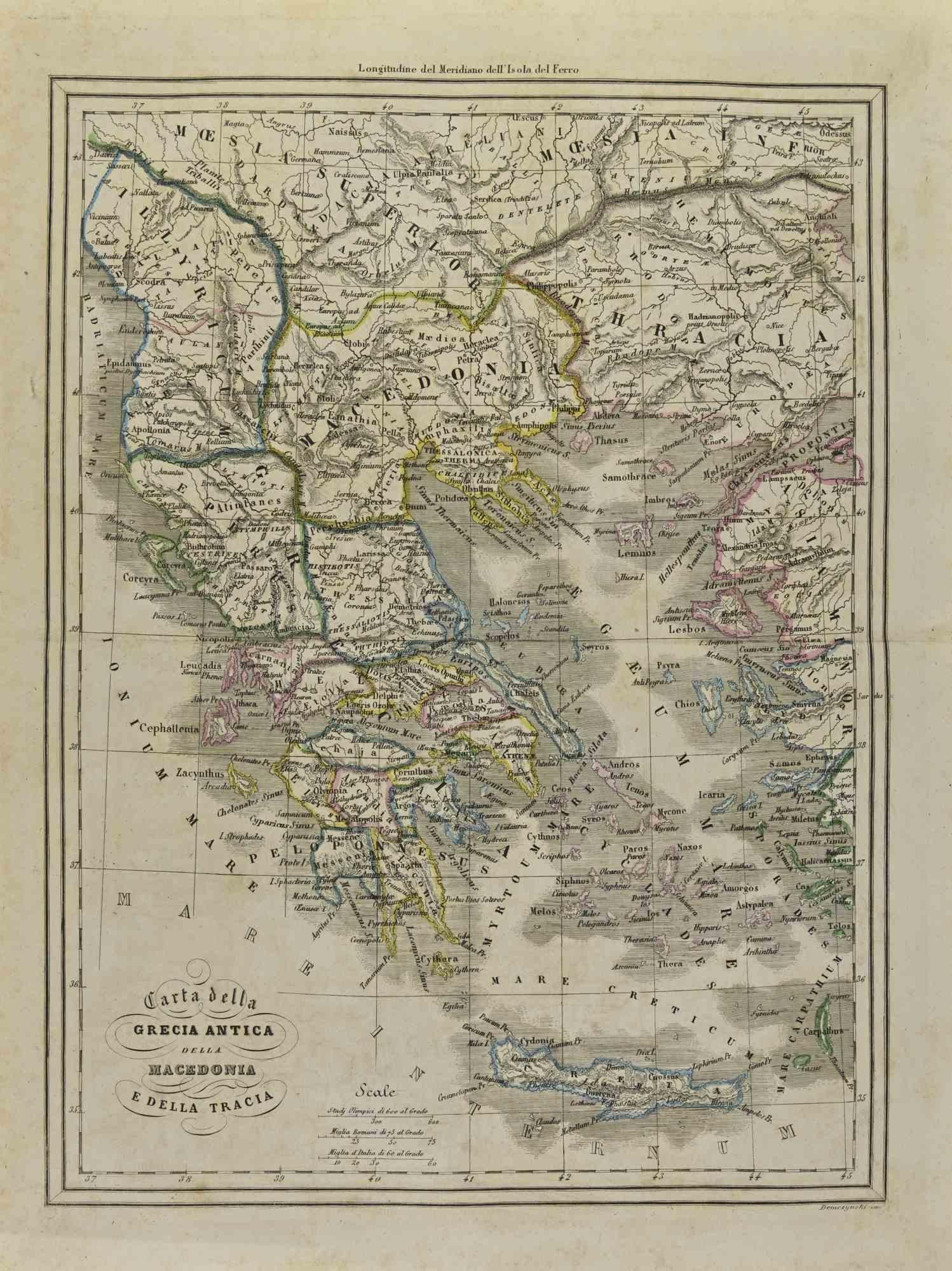
Lithograph


1960s Prints and Multiples
Paper, Lithograph

1950s Prints and Multiples
Linen, Paper, Lithograph

1620s Old Masters Landscape Prints
Engraving

Late 20th Century Prints and Multiples
Offset

Early 2000s Bauhaus Prints and Multiples
Offset

Mid-18th Century English School Landscape Prints
Engraving, Handmade Paper

Early 18th Century Realist Prints and Multiples
Engraving

Early 19th Century English School Landscape Prints
Handmade Paper, Engraving, Watercolor

Late 17th Century Old Masters Landscape Prints
Engraving

1970s Prints and Multiples
Lithograph

Late 18th Century Landscape Prints
Paper

19th Century Naturalistic Landscape Prints
Engraving

Early 1700s Old Masters Landscape Prints
Engraving

1970s Prints and Multiples
Lithograph

Early 1800s Modern Figurative Prints
Etching

1680s Modern Figurative Prints
Etching

1950s American Modern Landscape Prints
Lithograph

1950s Prints and Multiples
Lithograph

Late 20th Century American Realist Landscape Prints
Offset

1970s Prints and Multiples
Lithograph

1960s American Modern Landscape Prints
Offset

1780s Interior Prints
Ink, Paper

1680s Modern Figurative Prints
Etching

1630s Old Masters Landscape Prints
Engraving

1650s Modern Figurative Prints
Etching

1680s Modern Figurative Prints
Etching

1680s Modern Figurative Prints
Etching

1680s Modern Figurative Prints
Etching

Early 17th Century Old Masters Landscape Prints
Engraving

1780s Modern Figurative Prints
Etching

1680s Modern Figurative Prints
Etching

1710s Old Masters Figurative Prints
Etching

1870s Landscape Prints
Engraving

1940s Prints and Multiples
Paper, Lithograph

1650s Modern Figurative Prints
Etching

1650s Modern Figurative Prints
Etching

1820s Modern Landscape Prints
Etching

1940s Prints and Multiples
Paper, Lithograph

1650s Modern Figurative Prints
Etching

19th Century Naturalistic Landscape Prints
Engraving

1650s Modern Figurative Prints
Etching

1840s Modern Figurative Prints
Lithograph

1940s Prints and Multiples
Paper, Lithograph

1650s Modern Figurative Prints
Etching

1650s Modern Figurative Prints
Etching

1610s Landscape Prints
Engraving

1650s Modern Figurative Prints
Etching

1650s Modern Figurative Prints
Etching

17th Century Prints and Multiples
Engraving, Etching

1650s Modern Figurative Prints
Etching

1680s Modern Figurative Prints
Etching

1650s Modern Figurative Prints
Etching

1650s Modern Figurative Prints
Etching

1650s Modern Figurative Prints
Etching

1650s Modern Figurative Prints
Etching

16th Century Figurative Prints
Etching

1710s Old Masters Landscape Prints
Laid Paper, Engraving, Intaglio, Etching

Early 18th Century Realist Prints and Multiples
Engraving

1950s Prints and Multiples
Paper, Lithograph

Read More
Revisiting Robert Rauschenberg’s Creative Rebellion on His 100th Birthday
A planet-wide celebration feels fitting for an artist who saw connections everywhere: between paint and photography, art and life, self and surroundings.
Red Grooms’s 3D Tugboat Is a Chaotic, Comic Take on New York Life
The sculptural lithograph is part of the inimitable artist’s “Ruckus” series, now on view at the Brooklyn Museum.
Joan Mitchell’s Rare, Late-Career Diptych Buzzes with Life
Beneath the inky blackness, the painter’s irrepressible energy electrifies this pair of intaglio prints.
The 1stDibs Guide to Types of Abstract Art
Get to know the key movements and artists who have influenced visual culture for more than a century.
Romare Bearden’s Humanity Infuses His Bright, Bold Art
Through collage, painting and printmaking, the artist foregrounded Black life in America in revolutionary new ways.
Andy Warhol and Suzie Frankfurt’s ‘Wild Raspberries’ Cookbook Is an Artful, Fanciful Delight
This set of recipes and original prints might not make you a better chef. But it will make you smile.
Art Brings the Drama in These Intriguing 1stDibs 50 Spaces
The world’s top designers explain how they display art to elicit the natural (and supernatural) energy of home interiors.
Welcome (Back) to the Wild, Wonderful World of Walasse Ting
Americans are rediscovering the globe-trotting painter and poet, who was connected to all sorts of art movements across a long and varied career.