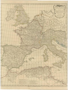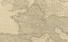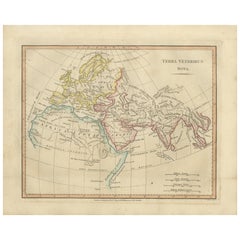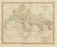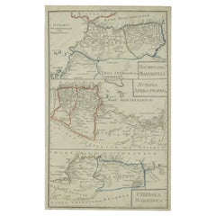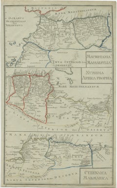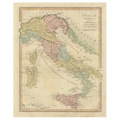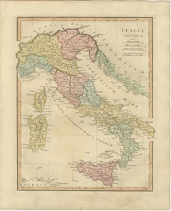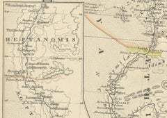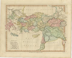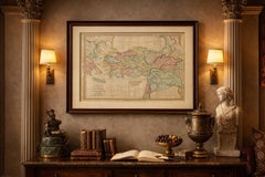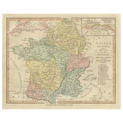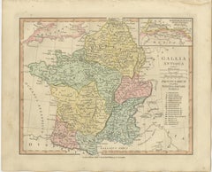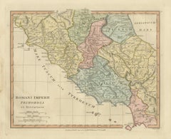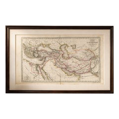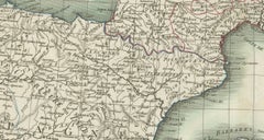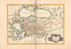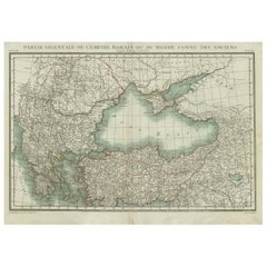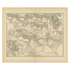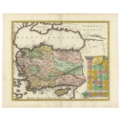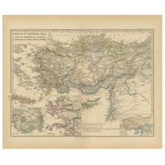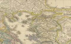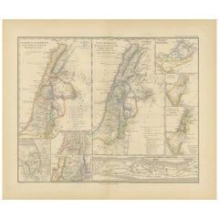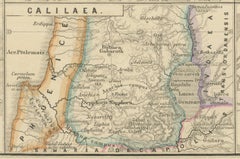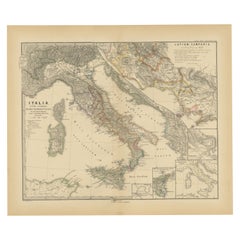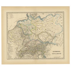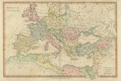
Roman Empire Map, Europe Mediterranean & Near East, Wilkinson London 1817
Located in Langweer, NL
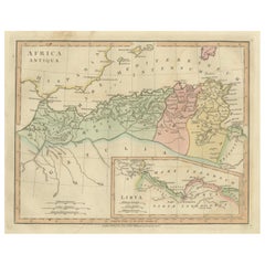
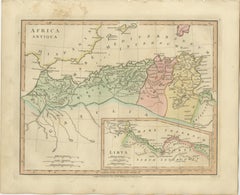
Keywords: Roman Empire map, Romanum Imperium, ancient Rome map, classical antiquity map, Europe antique map, Mediterranean map, Britannia Hispania Gallia Italia, Germania Dacia map, ...
Category
Antique Early 19th Century British Maps
Materials
Paper