Items Similar to The World After the Battle of Corupedium: Hellenistic Kingdoms Map, 1880

Want more images or videos?
Request additional images or videos from the seller
1 of 7
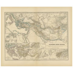
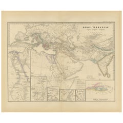
The World After the Battle of Corupedium: Hellenistic Kingdoms Map, 1880
About the Item
The map is titled "ORBIS TERRARUM post proelium Corupedinse," which translates to "The World after the Battle of Corupedium." This battle, which took place in 281 BC in Lydia, was the final encounter of the Wars of the Diadochi, fought between the armies of Lysimachus and Seleucus, two of Alexander the Great's successors. The outcome led to the establishment of the Seleucid Empire's dominance over Anatolia.
Features that make this map interesting:
1. **Historical Transition**: The map captures a moment of transition after Alexander the Great's empire was divided, marking the end of the Wars of the Diadochi and the beginning of the Hellenistic period in earnest.
2. **Geographical Coverage**: It spans a vast area covering the territories impacted by Alexander's campaigns and their subsequent division among his generals.
3. **Inset Maps**: The map includes inset maps of regions and cities of historical significance during the Hellenistic period, such as Rhodes, Sparta, and Antioch.
4. **Political Boundaries**: The delineation of political boundaries reflects the division of Alexander's empire into the realms controlled by his successors.
5. **Military History**: It provides a geographical context for understanding the military movements and territorial changes resulting from the Diadochi's conflicts.
6. **Latin Nomenclature**: The use of Latin reflects the scholarly approach of the period when the map was created, catering to the educational and research needs of the time.
7. **Topographical Features**: It details the topography of the region, including mountain ranges, rivers, and plains that would have influenced the outcome of the battle.
This map is from the "Spruner-Menke Atlas Antiquus," created by Karl Spruner von Merz and edited by Theodorus Menke. The atlas is known for its detailed and historically accurate maps of ancient geographies, used extensively for educational purposes in the 19th century.
The period depicted on the map was crucial for shaping the political and cultural landscape of the Hellenistic world, influencing the development of the cultures and conflicts that would play out over the centuries in these regions.
- Dimensions:Height: 15.56 in (39.5 cm)Width: 18.51 in (47 cm)Depth: 0 in (0.02 mm)
- Materials and Techniques:
- Period:
- Date of Manufacture:1880
- Condition:Good, given age. General age-related toning, especially around the edges. The vertical folding line is a bit rough with a small hole in the lower part. Please study scan carefully.
- Seller Location:Langweer, NL
- Reference Number:
About the Seller
5.0
Platinum Seller
These expertly vetted sellers are 1stDibs' most experienced sellers and are rated highest by our customers.
Established in 2009
1stDibs seller since 2017
1,916 sales on 1stDibs
Typical response time: <1 hour
- ShippingRetrieving quote...Ships From: Langweer, Netherlands
- Return PolicyA return for this item may be initiated within 14 days of delivery.
More From This SellerView All
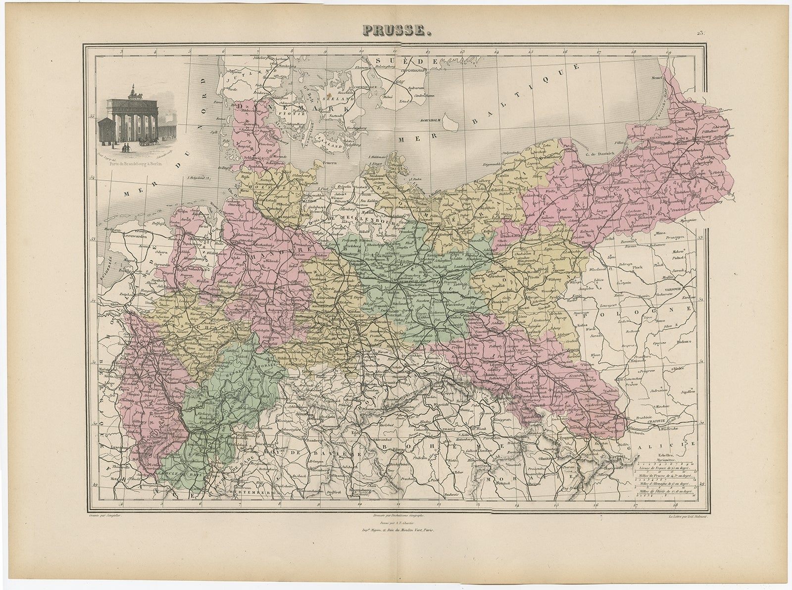
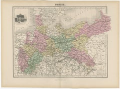
- Antique Map of the Kingdom of Prussia, 1880Located in Langweer, NLAntique map titled 'Prusse'. Old map of the Kingdom of Prussia, with a decorative vignette of the gate of Brandenburg, Berlin. This map originates from 'Géographie Universelle Atlas-...Category
Antique 19th Century Maps
MaterialsPaper
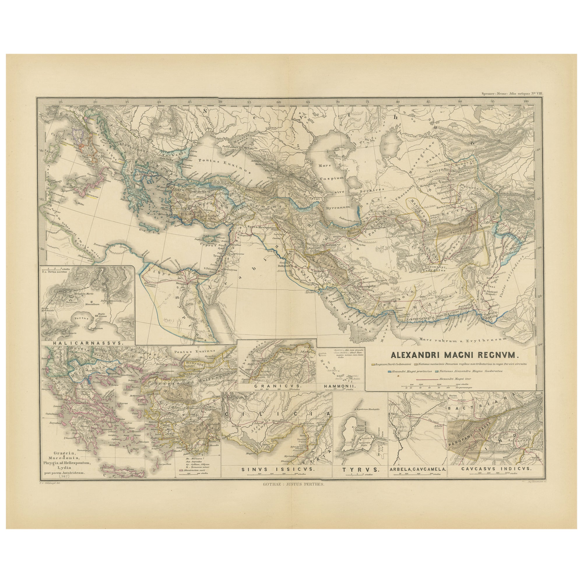
- Antique Map of The Kingdom of Alexander the Great, Published in 1880Located in Langweer, NLThe map is titled "ALEXANDRI MAGNI REGNUM," which translates to "The Kingdom of Alexander the Great." It depicts the vast territories conquered by Alexander the Great during his reig...Category
Antique 1880s Maps
MaterialsPaper
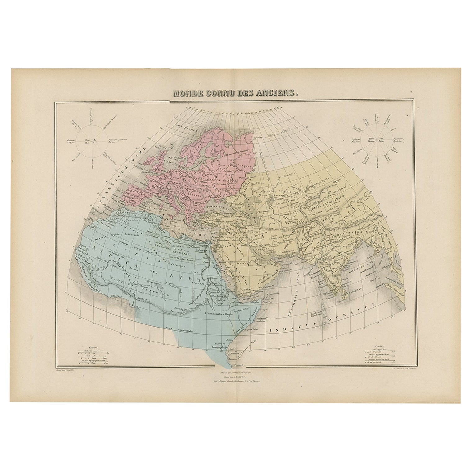
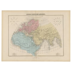
- Antique World Map before the Voyages of Christopher Columbus, 1880Located in Langweer, NLAntique world map titled 'Monde Connu des Anciens'. Antique map of the World and continents before the voyages of Christopher Columbus. This map originates from 'Géographie Universel...Category
Antique 19th Century Maps
MaterialsPaper
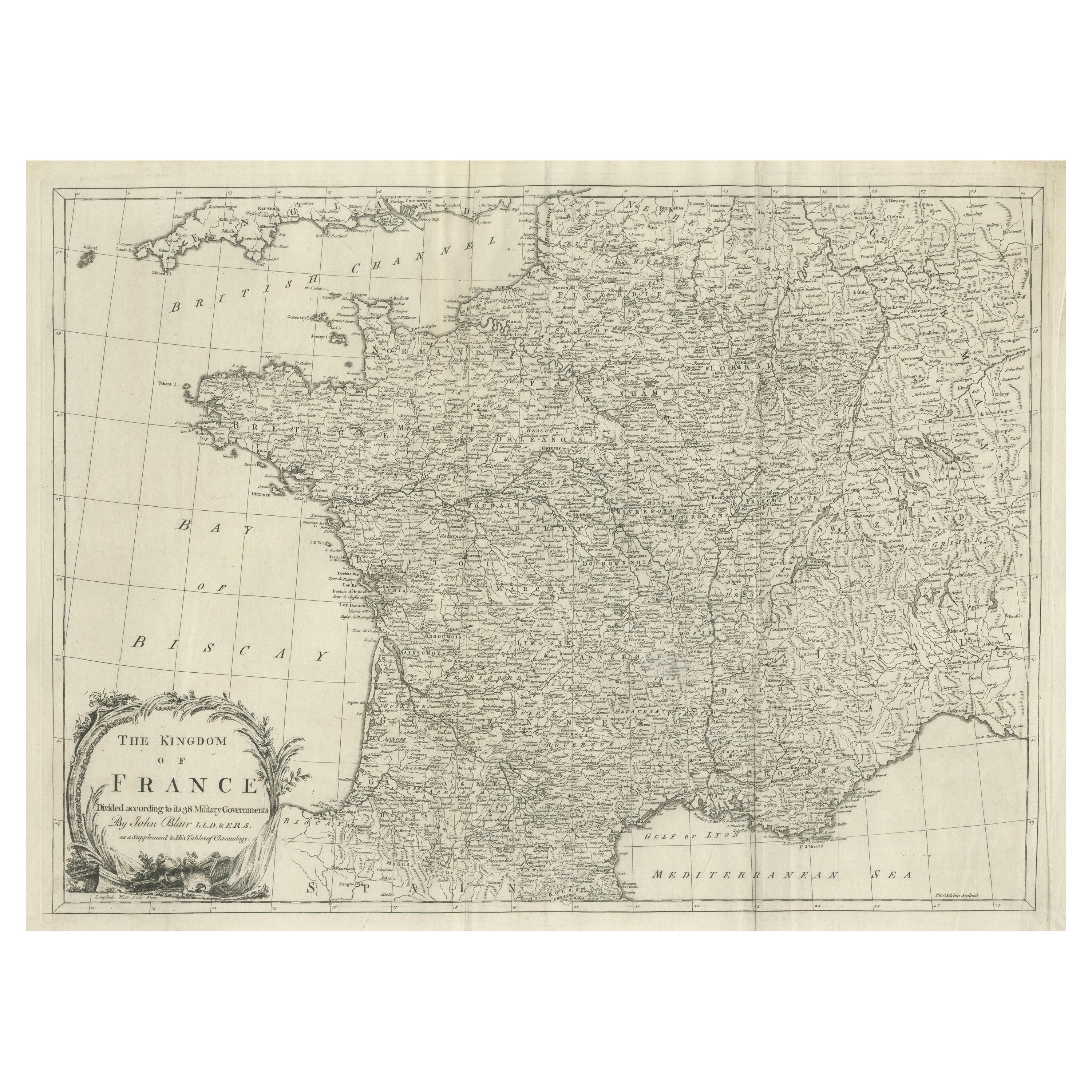
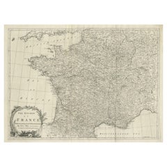
- Large Antique Map of the Kingdom of FranceLocated in Langweer, NLAntique map titled 'The Kingdom of France (..)'. Large antique map of the Kingdom of France. Engraved by T. Kitchin. Published J. Blair, circa 1779.Category
Antique Late 18th Century Maps
MaterialsPaper
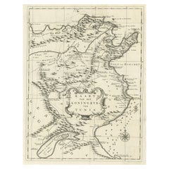
- Antique Map of the Kingdom of Tunisia, Africa, 1773Located in Langweer, NLAntique map titled 'Kaart van het Koningryk van Tunis'. Old map of the Kingdom of Tunisia. Originates from the first Dutch editon of an interesting travel account of Northern Africa ...Category
Antique 18th Century Maps
MaterialsPaper
- The World in the Assyrian Empire's Era: A Historical Map, Published in 1880Located in Langweer, NLThis map from the "Spruner-Menke Atlas Antiquus" is titled "ORBIS TERRARVM regni Assyrii tempore," which translates to "The World at the Time of the Assyrian Kingdom." It depicts the...Category
Antique 1880s Maps
MaterialsPaper
You May Also Like
- Map of the Kingdom of Sardinia and Part of the Kingdom of Genoa, RomeBy Giovanni Maria CassiniLocated in Hamilton, Ontario18th century map by Italian engraver Giovanni Maria Cassini (Italy 1745-1824). Map of Part of the Kingdom of Sardinia and Part of the Kingdom of Genoa: Rome. This is a hand colored a...Category
Antique 18th Century Italian Maps
MaterialsPaper
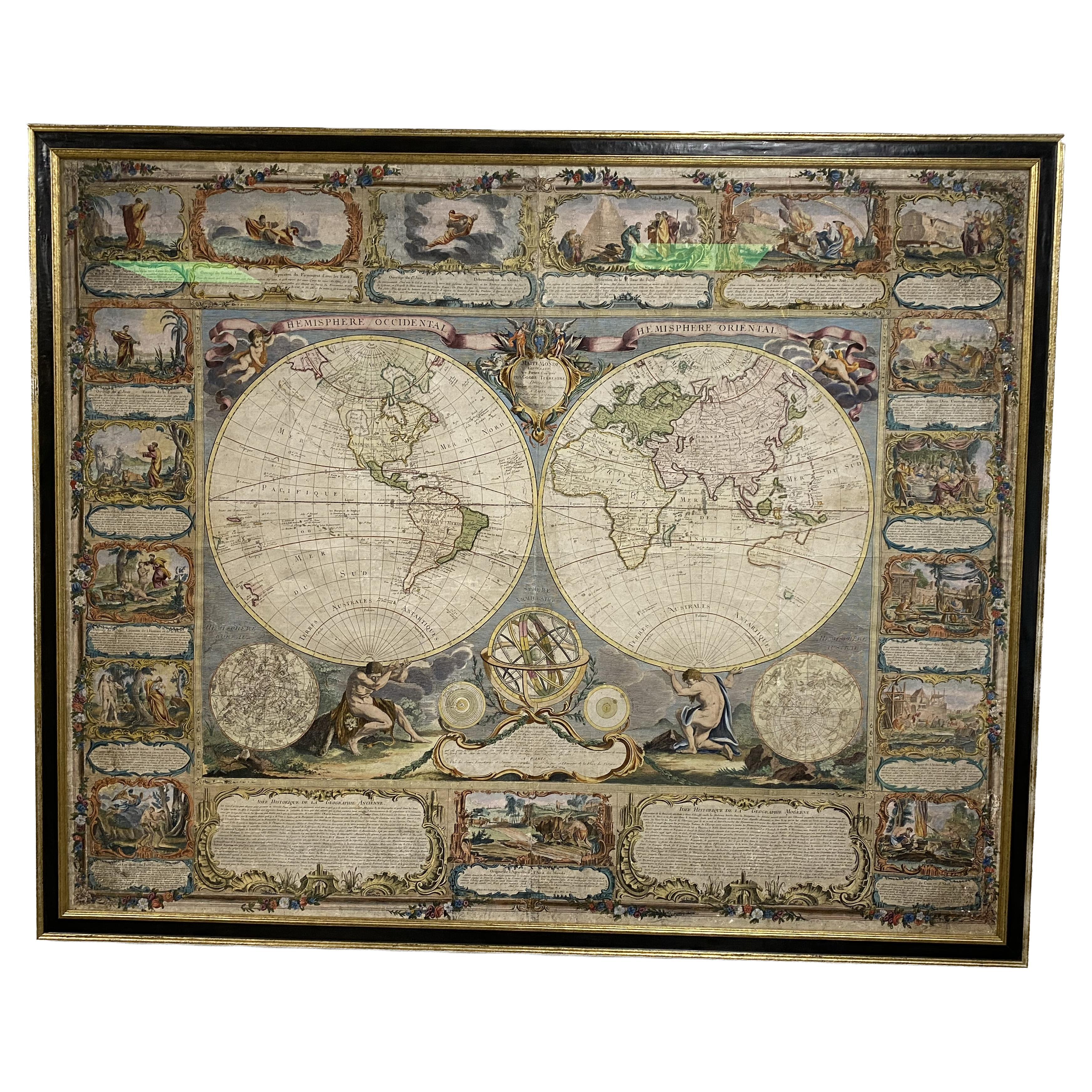
- Colored wall map of the WORLDBy ChambonLocated in ZWIJNDRECHT, NL“Mappe Monde, contenant les Parties Connues du Globe Terrestre” CHAMBON, Gobert-Denis (France, 17.. - 1781) Paris, Longchamps et Janvier, 1754 Size H. 115 x W. 145 cm. Gobert-Denis Chambon made copper engraving after the work of Guillaume De L’Isle, published in 1754 by Jean Janvier and S.G. Longschamps. A huge wall map of the world in two hemispheres printed on two sheets, depicting the Eastern and Western hemispheres supported by two male figures, decorated at the bottom right and left with two celestial hemispheres (boreal and southern) and at the bottom in the middle with an armillary sphere, in addition. This map is most notable for its depiction of the Sea of Japan labeled "Mer de Corée" and of "Mer de L'Ouest" or Sea of the West - a great sea, easily the size of the Mediterranean, to flow from the then-known Strait of Juan de Fuca...Category
Antique Mid-18th Century French French Provincial Maps
MaterialsWood, Paper

- Map, Exploring The WorldLocated in New York City, NY300 stunning maps from all periods and from all around the world, exploring and revealing what maps tell us about history and ourselves. Selected by an international panel of cartographers, academics, map dealers and collectors, the maps represent over 5,000 years of cartographic innovation drawing on a range of cultures and traditions. Comprehensive in scope, this book features all types of map from navigation and surveys to astronomical maps, satellite and digital maps, as well as works of art inspired by cartography. Unique curated sequence presents maps in thought-provoking juxtapositions for lively, stimulating reading. Features some of the most influential mapmakers and institutions in history, including Gerardus Mercator, Abraham Ortelius, Phyllis Pearson, Heinrich Berann...Category
21st Century and Contemporary Hong Kong Books
MaterialsPaper
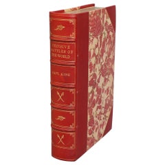
- Books, Captain Charles King's "Famous Decisive Battles of the World"Located in New York, NYBooks, Captain Charles King's "Famous Decisive Battles of the World. Or, History From the Battlefield." Leatherbound. One volume. Octavo. Bound in three quarter red morocco with marbled boards, top edges gilt, raised bands, & gilt panels on spine. Very good. Published in Philadelphia by J.C. McCurdy & Co., N.D., Circa 1890s. History, Military History...Category
Antique Late 19th Century American Books
MaterialsLeather, Paper
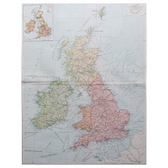
- Large Original Vintage Map of the United Kingdom, circa 1920Located in St Annes, LancashireGreat map of The United Kingdom Unframed Original color By John Bartholomew and Co. Edinburgh Geographical Institute Published, circa 1920 Free shipping.Category
Vintage 1920s British Maps
MaterialsPaper
- Large Original Vintage Map of The United Kingdom, circa 1920Located in St Annes, LancashireGreat map of The United Kingdom Original color. Published by Alexander Gross Unframed.Category
Vintage 1920s English Maps
MaterialsPaper