Antique Mississippi Map
to
4
13
11
16
8
7
5
5
4
4
4
3
2
2
2
2
2
1
1
1
1
1
1
1
1
2
1
1
1
Sort By
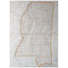
Large Original Antique Map of Mississippi, USA, 1894
By Rand McNally & Co.
Located in St Annes, Lancashire
Fabulous map of Mississippi
Original color
By Rand, McNally & Co.
Published, 1894
Unframed
Category
1890s American Antique Mississippi Map
Materials
Paper
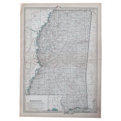
Original Antique Map of the American State of Mississippi, 1903
Located in St Annes, Lancashire
Antique map of Mississippi
Published By A & C Black. 1903
Original colour
Good condition
Category
Early 1900s English Antique Mississippi Map
Materials
Paper
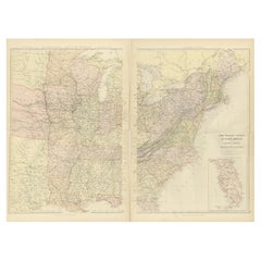
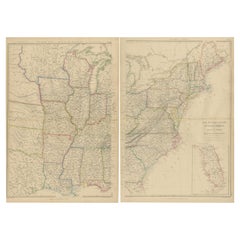
1882 Blackie Atlas Maps: Atlantic States and Mississippi Valley Compilation
Located in Langweer, NL
factories and ports vital to trade and commerce.
Map 2: Valley of the Mississippi
This map highlights the
Category
1880s Antique Mississippi Map
Materials
Paper
H 14.97 in W 11.03 in D 0.01 in
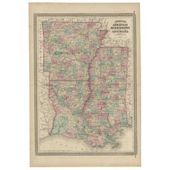
Antique Map of Arkansas, Mississippi and Louisiana by Johnson, 1872
Located in Langweer, NL
Antique map titled 'Johnson's Arkansas (..)'. Original map of Arkansas, Mississippi and Louisiana
Category
Late 19th Century Antique Mississippi Map
Materials
Paper
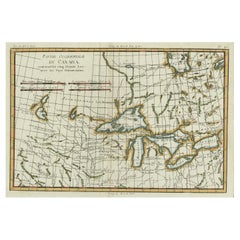
Old Map of the Great Lakes and Upper Mississippi Valley, Northern America, c1780
Located in Langweer, NL
Guilleme Raynal's 1780 map of the Great Lakes and upper Mississippi Valley.
A map of considerable
Category
1780s Antique Mississippi Map
Materials
Paper
H 10.32 in W 14.85 in D 0 in
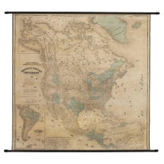
1868 "Lloyd's Topographical Railway Map of North America..." Hanging Wall Map
Located in Colorado Springs, CO
Francisco on the coasts and from the Delta of the Mississippi in the south.
This map also offers
Category
1860s American Late Victorian Antique Mississippi Map
Materials
Linen, Paper
H 60 in W 67.5 in D 1 in
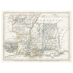
Antique Map of the Southern United States with Inset Map of New Orleans
Located in Langweer, NL
Antique map titled 'Die Staaten von Arkansas Mississippi, Louisiana & Alabama'. Detailed map of the
Category
Mid-19th Century Antique Mississippi Map
Materials
Paper
H 9.06 in W 12.21 in D 0.02 in
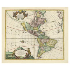
Antique Map of America with California as an Island by Homann '1710'
Located in Langweer, NL
: The map provides detailed information about the Great Lakes and the course of the Mississippi River
Category
Early 18th Century Antique Mississippi Map
Materials
Paper
Set of 2 Antique Maps of the United States by W. G. Blackie, 1859
Located in Langweer, NL
Mississippi'. Original antique map of the United States of North America, Atlantic States and Valley of the
Category
Mid-19th Century Antique Mississippi Map
Materials
Paper
1863 "Lloyd's New Map of the United States, the Canadas, and New Brunswick"
Located in Colorado Springs, CO
copies of Lloyd’s Mississippi River map for Rear Admiral Chas. E. Davis, “for use of his squadron."
J.T
Category
1860s American Antique Mississippi Map
Materials
Linen, Wood, Paper
Antique 1844 J Calvin Smith JH Colton Midwest United States Survey Map 27"
By J.H. Colton
Located in Dayton, OH
shows Maiden’s Rock on the tranquil Mississippi. The map provides a fascinating glimpse at how the U.S
Category
1840s Antique Mississippi Map
Materials
Paper
H 21 in W 26.5 in D 0.5 in
Map of Mississippi Carey & Lea, 1822
Located in Savannah, GA
Atlas” by Henry Carey and Issac Lea, the map depicts Mississippi as it existed in 1822.
sight: 10 by 13
Category
1820s American Other Antique Mississippi Map
Materials
Glass, Wood, Paper
Map of Mississippi from Fanning's Illustrated Gazetteer, 1853
Located in Savannah, GA
A map of Mississippi from Fanning’s Illustrated Gazetteer, 1853.
sight: 5 by 8 ½ inches
frame: 12
Category
1850s American Antique Mississippi Map
Materials
Glass, Wood, Paper
Mississippi. USA Century Atlas state antique vintage map
Located in Melbourne, Victoria
'The Century Atlas. Mississippi'
Original antique map, 1903.
Central fold as issued. Map name and
Category
Early 20th Century Victorian Antique Mississippi Map
Materials
Lithograph
1772 Map of Part of "West Florida"
Located in New York, NY
Mississipi".
A fascinating map showing the Mississippi delta and coastal regions of the now states of
Category
1770s Realist Antique Mississippi Map
Materials
Engraving
1730 Hand-Colored Antique Map of the Americas
Located in La Jolla, CA
the map. The Mississippi flows into the Gulf of Mexico on the Texas coast. The Great Lakes are well
Category
1730s Dutch Baroque Antique Mississippi Map
Materials
Paper
Mitchell's New National Wall Map Exhibiting the United States, circa 1856
Located in Colorado Springs, CO
of the region. A seminal map and a must for any serious United States, Southwest or Trans-Mississippi
Category
1850s American Antique Mississippi Map
Giltwood Framed and Matted Map
Located in Tarry Town, NY
Giltwood framed and matted library / study room map of Arkansas, Mississippi, Louisiana. Each map
Category
Early 20th Century Antique Mississippi Map
Materials
Giltwood, Paper
Original Antique Map of Mississippi, 1889
Located in St Annes, Lancashire
Great map of Mississippi
Drawn and Engraved by W. & A.K. Johnston
Published By A & C Black
Category
1880s Scottish Victorian Antique Mississippi Map
Materials
Paper
Original Antique Map of Mississippi, circa 1890
Located in St Annes, Lancashire
Great map of Mississippi
Original color.
Published, circa 1890
A few minor edge tears
Category
1890s English Other Antique Mississippi Map
Materials
Paper
Large Original Antique Map of Mississippi, USA, C.1900
Located in St Annes, Lancashire
Fabulous map of Mississippi
Original color
Engraved and printed by the George F. Cram Company
Category
1890s American Antique Mississippi Map
Materials
Paper
Original Antique Map of The American State of Mississippi, 1889
Located in St Annes, Lancashire
Great map of Mississippi
Drawn and engraved by W. & A.K. Johnston
Published By A & C Black
Category
1880s Scottish Victorian Antique Mississippi Map
Materials
Paper
Large Original Antique Map of Mississippi by Rand McNally, circa 1900
By Rand McNally & Co.
Located in St Annes, Lancashire
Fabulous monochrome map with red outline color
Original color
By Rand, McNally & Co
Category
Early 1900s American Edwardian Antique Mississippi Map
Materials
Paper
"Personal Memoirs of U.S. Grant" First Edition, Two-Volume Set, circa 1885-1886
By Ulysses S. Grant
Located in Colorado Springs, CO
stamps celebratory of both U.S. Grant and the Mississippi River. Internally, all maps and fold-outs are
Category
1880s American Antique Mississippi Map
Materials
Paper
H 9.75 in W 6.63 in D 4.38 in
La Louisiane et Pays Voisins (Louisiana and surrounding areas) by Bellin
By Jacques-Nicolas Bellin
Located in New York, NY
on the Mississippi River Valley, this map covers from the Riviere du Nord (Rio Grande) eastward to
Category
1760s Realist Antique Mississippi Map
Materials
Engraving
Get Updated with New Arrivals
Save "Antique Mississippi Map", and we’ll notify you when there are new listings in this category.
Antique Mississippi Map For Sale on 1stDibs
Choose from an assortment of styles, material and more with respect to the antique mississippi map you’re looking for at 1stDibs. An antique mississippi map — often made from paper, animal skin and glass — can elevate any home. Whether you’re looking for an older or newer antique mississippi map, there are earlier versions available from the 18th Century and newer variations made as recently as the 19th Century. An antique mississippi map, designed in the Georgian style, is generally a popular piece of furniture. You’ll likely find more than one antique mississippi map that is appealing in its simplicity, but Gray and Co, Herman Moll and Ulysses S. Grant produced versions that are worth a look.
How Much is a Antique Mississippi Map?
An antique mississippi map can differ in price owing to various characteristics — the average selling price 1stDibs is $1,150, while the lowest priced sells for $85 and the highest can go for as much as $10,000.
