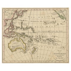
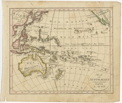
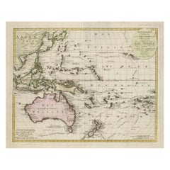
Antique Map of Oceania and the Pacific Ocean, Australia and New Zealand, 1826
Located in Langweer, NL
Antique map of Australia titled 'Karte von Australien'.
Category
19th Century Antique Maps Australia
Materials
Paper
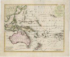
Antique Map of Oceania and the Pacific Ocean, Australia and New Zealand, 1826
Located in Langweer, NL
Antique map of Australia titled 'Karte von Australien'.
Paper
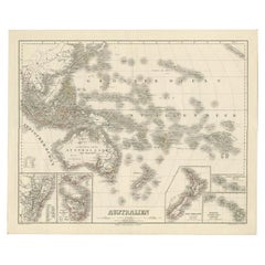
Map of Australia, New Zealand, Part of China, Japan and Southeast Asia, 1857
Located in Langweer, NL
German Antique map titled 'Australien'. Map of Australia, New Zealand, part of China, Japan and Southeast Asia.
Paper
$179Sale Price|30% Off
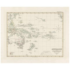
Antique Map of Australia, New Zealand and Oceania by F. von Stülpnagel, 1850
Located in Langweer, NL
A map of Australia, New Zealand and Oceania. This includes Fiji, Tahiti and several other island groups in the Pacific.
Paper
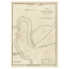
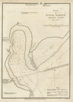
Map of Winter Harbour on Melville Island, Australia by Parry's Expedition, 1821
Located in Langweer, NL
Antique print titled 'Survey of Winter Harbour Melville Island, June 1820'. Chart of the bay or harbor on Melville Island where William Parry's expedition spent the winter of 1819-...
Paper
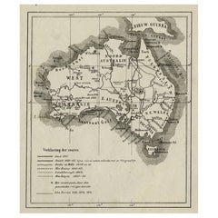
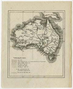
Old Map of Australia Showing The Routes of the Main Explorers, ca.1900
Located in Langweer, NL
Antique print, untitled. This map shows Australia with the routes of explorers in the continent and marking the furthest point reached..
Paper
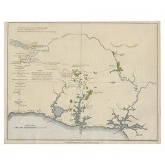
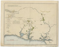
Early Map of Sydney with Botany Bay, Port Jackson & Broken Bay, Australia, 1802
Located in Langweer, NL
This map originates from 'An account of the English colony in New South Wales' by David Collins.
Paper
$1,044Sale Price|20% Off
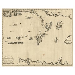
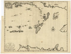
Map of the Southeastern Part of the Banda Islands, Incl Northern Australia, 1726
Located in Langweer, NL
Antique map titled 'Kaart van de Zuyd-Ooster Eylanden van Banda.' Map of the southeastern part of the Banda islands. This map originates from 'Oud en Nieuw Oost-Indiën' by Franço...
Paper
$805Sale Price|20% Off
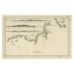
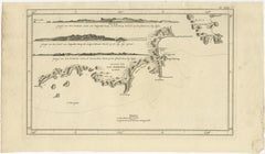
Antique Coastal Views and a Map of Van Diemens Land (Tasmania), Australia, 1803
Located in Langweer, NL
Antique map Tasmania titled 'Kaart van Diemens Land'. Coastal views and a map of van Diemens Land (Tasmania). Originates from 'Reizen Rondom de Waereld door James Cook (..)'. ...
Paper
$233Sale Price|20% Off
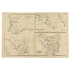
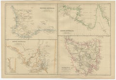
Antique Map of West, South, North Australia and Tasmania by W. G. Blackie, 1859
Located in Langweer, NL
Antique map titled 'Western Australia, South Australia, North Australia and Tasmania'.
Paper
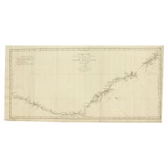

Old Map of Cook's Discovery and Charting of the East Coast of Australia, 1803
Located in Langweer, NL
Cook met het Schip de Endeavour in het Jaar 1770'. Antique map recording James Cook's discovery and charting of the east coast of Australia on the first of his three voyages arou...
Paper

$121Sale Price|20% Off
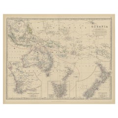
Antique Map of Oceania by Johnston, 1882
Located in Langweer, NL
Antique map titled 'Oceania'. Old map of Oceania with inset maps of Western Australia, Tasmania and New Zealand.
Paper

$233Sale Price|20% Off
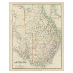
Antique Map of New South Wales by Johnston, '1909'
Located in Langweer, NL
Antique map titled 'South Australia, New South Wales, Victoria and Queensland'.
Paper

$93Sale Price|20% Off
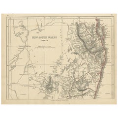
Antique Map of New South Wales by Lowry, '1852'
Located in Langweer, NL
Antique map titled 'New South Wales north'. Original map of New South Wales, Australia.
Paper
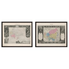
Antique Levasseur Maps Asia & Oceania, Decorative Atlas Pair c.1845
Located in Langweer, NL
Technique: Steel engraving with original hand coloring Maker: Victor Levasseur, Paris, circa 1842–1845 Keywords: Levasseur Asia map, Levasseur Oceania map, Atlas Universel Illustré,...
Paper
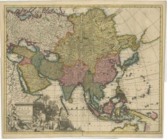
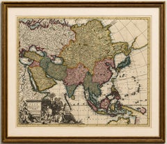
Decorative Antique Map of Asia and the East Indies, circa 1720
Located in Langweer, NL
Of particular interest is the early representation of parts of Australia. The map shows portions of the coastline of “Nova Hollandia” and “Carpentaria”, reflecting the still incomple...
Paper
$68Sale Price|20% Off
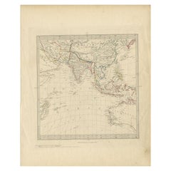
Antique Map of Southeast Asia by Walker, c.1845
Located in Langweer, NL
"Untitled map of southeast Asia. This map depicts India, Indonesia, Australia and surrounding regions.
Paper
$163Sale Price|20% Off
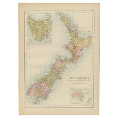
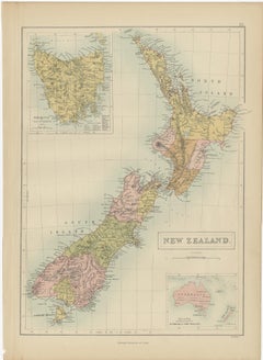
Antique Map of New Zealand by A & C. Black, 1870
Located in Langweer, NL
Antique map titled 'New Zealand'. Original antique map of New Zealand with inset Maps of Australia, New Zealand and Tasmania.
Paper
Old French Lithograph of Oceania with an Inset of Victoria, Australia 1897
By Pierre Larousse
Located in Langweer, NL
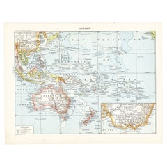
Sheet: Front: 'Oceanie.' (Map of Oceania). Rear: 'Oceanie.' (Oceania; native people, costume, plants, animals; crocodile, cassowary, tiger, kangeroo, platypus, lyre bird etc.).' ...
Paper
$1,685Sale Price|20% Off
1802 Map of Australasia and the South Pacific - European Exploration Routes
Located in Langweer, NL
Spanning from Sumatra to Pitcairn Island, the map highlights place names in Australia, New Zealand, and numerous Pacific islands.
Paper
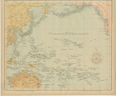
Map of the Pacific Ocean and Philippine Archipelago – Manila Observatory, 1899
Located in Langweer, NL
The map also includes Australia, New Zealand, and the Indonesian archipelago, situating the Philippines at the center of the Pacific world.
Paper
$708Sale Price|20% Off
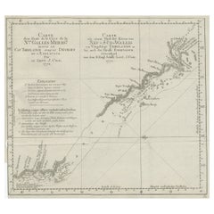
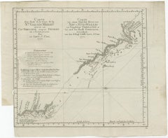
Old Chart of the North-Eastern Coast of Australia Discovered by Cook, 1774
Located in Langweer, NL
Antique print titled Carte d'une Partie de la Cote de la N.le Galles Merid etc. An interesting chart of the north-eastern coast of Australia discovered by Cook in 1770, showing th...
Paper
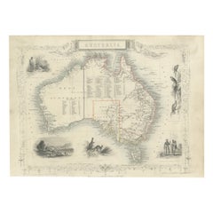
Gold Rush Era Masterpiece: The Tallis & Rapkin Rare Map of Pre-Queensland, 1851
Located in Langweer, NL
The image is an original historical map of Australia from the year 1851, created by John Rapkin with illustrations by J.
Paper
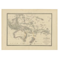

Antique Map of Oceania by Pierre M. Lapie, Paper, 1842, 19th Century
Located in Langweer, NL
Map of Oceania including Australia, Polynesia and several islands of Asia.
Paper
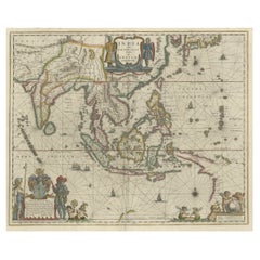
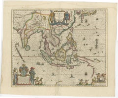
$3,263Sale Price|20% Off
Original Blaeu Map of Southeast Asia from India to Tibet and Japan to New Guinea
Located in Langweer, NL
It was the first popular map to depict part of Australia. Includes a dedicational cartouche to Laurens Real.
Paper
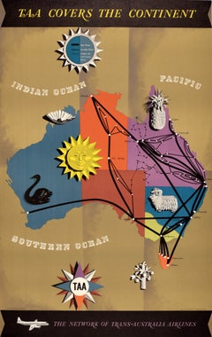
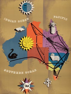
Original Vntage Travel Advertising Poster TAA Covers The Continent Australia Map
Located in London, GB
Original vintage travel advertising poster - TAA Covers the Continent / The Network of Trans-Australia Airlines - featuring a midcentury style map of Australia with colours highlight...
Paper
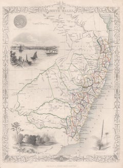
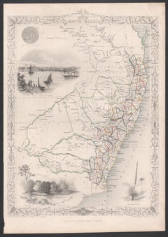
New South Wales, Australia, antique mid 19th century engraved John Tallis map
Located in Melbourne, Victoria
'New South Wales' With decorative border surrounds and vignettes of 'Sydney Cove'. 'The Murray' and 'Xanthorrhea'. 'Drawn and engraved by J Rapkin'. Published by John Tallis. 375m...
Engraving
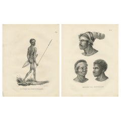
$558Sale Price / set|20% Off
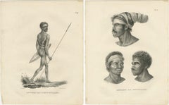
Noru Gal Derri & Australian Aborigines, Lithographs by Last, 1836, Nieuw-Holland
Located in Langweer, NL
The title on the prints, *Bewoner van Nieuw-Holland*, translates to *Inhabitant of New Holland*, reflecting the European name for Australia in the 18th and early 19th centuries. The ...
Paper
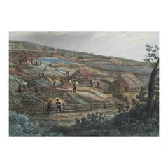
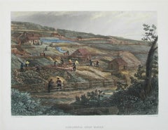
J.C. Armytage, 'Concordia Gold Mines', Hand Colored Engraving, U.K., C.1874
Located in Chatham, ON
Provenance - The Antique Print & Map Gallery, Victoria, Australia.
Paint, Paper
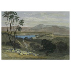
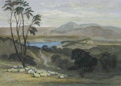
J S Prout, the Upper Goulburn, Victoria', Hand Colored Engraving, U K, 1874
By John Skinner Prout, N.W.S. 1
Located in Chatham, ON
Provenance - The antique print & map Gallery, Victoria, Australia.
Paint, Paper
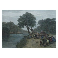
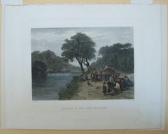
J.S. Prout, 'Diggers on the Road .', Hand Colored Engraving, U.K., C.1874
By John Skinner Prout, N.W.S. 1
Located in Chatham, ON
Provenance - The Antique Print & Map Gallery, East Prahran, Australia.
Paint, Paper
Antique and vintage collectibles and curiosities can bring whimsy and wonder to any interior.
Decorating with old scientific instruments, historical memorabilia and vintage musical instruments, as well as other authentic collectibles and curiosities that can be found on 1stDibs, presents an opportunity to create a unique, natural history museum-like atmosphere in your home that can provoke conversation as often as it pays tribute to how far we’ve come in understanding our world.
And bringing collectibles and curiosities into your space is actually on trend — Wunderkammern, or curiosity cabinets, were all the rage in Europe during the 1500s and continued to have adherents there and in the U.S. in the following centuries. Today, however, they’re experiencing a real surge in popularity and influencing how many interior designers are furnishing and decorating homes — combining contemporary with antique, scientific with tribal, earthly with extraterrestrial, Les Lalanne tables with Flemish tapestries.
The original Wunderkammern were entire rooms filled with objects demonstrating their owners’ worldly knowledge: A proper one included artificiala or preciosa (objets d’art); naturalia (such as skeletons, shells, minerals); exotica (taxidermy or dried plants); and scientifica (scientific instruments), frequently alongside religious relics and ancient artifacts.
Pay tribute to a history of rich and diverse musical traditions that have taken shape all over the world by decorating your home with a collection of antique and vintage musical instruments — with a little help from strong hanging wire or some wall hooks, vintage brass instruments such as a gong, French horn or trumpet can help elevate a home office or complement the efforts you’ve made to ensure a welcoming vibe in your home’s entryway. Bells or antique wind instruments can add provocative metallic contrasts to dark woods as tabletop decorative objects.
Create an intriguing focal point with Georgian scientific instruments, such as stick barometers with mahogany cases or lacquered brass telescopes. These items stem from an era named for the monarchies of the four King Georges, who ruled England in succession starting in 1714 (plus King William’s reign, which lasted until 1837). Just as there was beautiful jewelry produced during the period that today is coveted by collectors, there is much to be found in the collectibles and curiosities realm too.
Wanderlust, nostalgia and a shared love of good design are contributing factors to certain trends in decorating — just as vintage trunks and luggage have reappeared as furniture or home accents in a bedroom or foyer, decorating with globes, maps or nautical objects is similarly rooted in the allure of travel and a penchant for the stylish finishing touch that collectibles bring to our homes.
Find a wide range of antique and vintage collectibles and curiosities on 1stDibs.
It's hard to resist the allure of a beautiful pool. So, go ahead and daydream about whiling away your summer in paradise.
It’s never too early for good design. These interiors combine elevated furnishings and a youthful spirit, resulting in spaces that are at once elegant and whimsical.
Produced in 1843, the well-preserved volume is evidence of the author's exacting specifications.
New or old, the coverlets add old-time charm to any space.
Get into the games! These items celebrate the events, athletes, host countries and sporting spirit.
French trendsetter and serial collector Daniel Rozensztroch tells us about his obsession with objects related to seafaring men.
The sought-after designer worked with the team at Hoffman Creative to produce a monograph that beautifully showcases some of Studio Shamshiri's most inspiring projects.
Italian writer and collector Umberto Pasti opens the doors to his remarkable cave of wonders in North Africa.