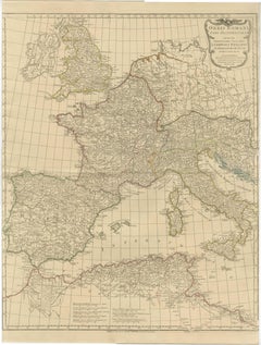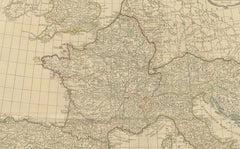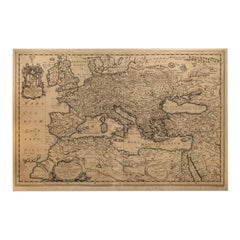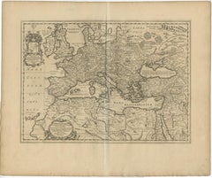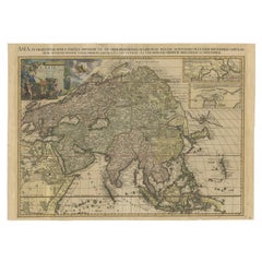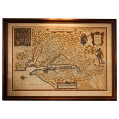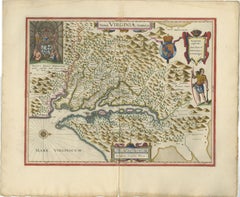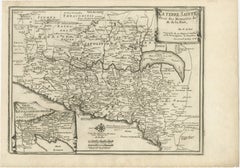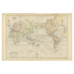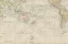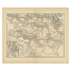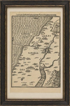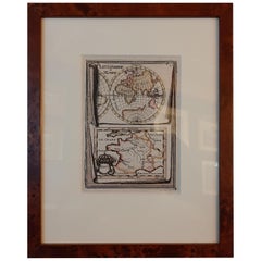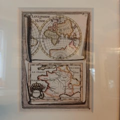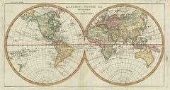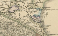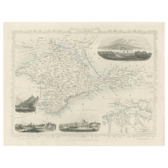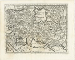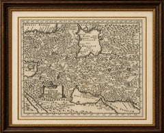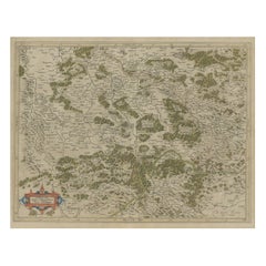
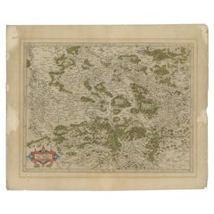
Antique Map of the Southern Lorraine Region by Mercator, c.1625
By Gerard Mercator
Located in Langweer, NL
We sell original antique maps to collectors, historians, educators and interior decorators all over the world.
Category
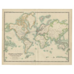
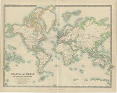
17th Century Antique World Maps
Materials
Paper