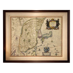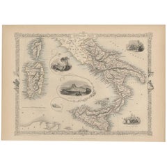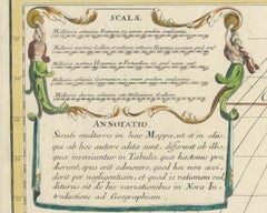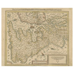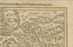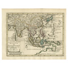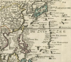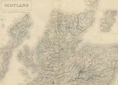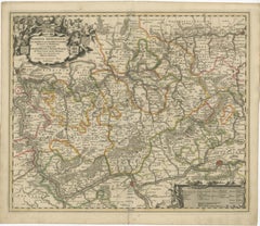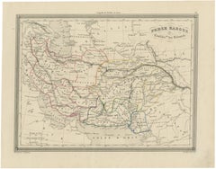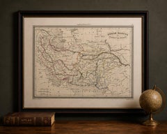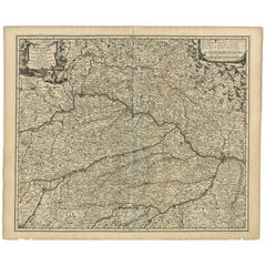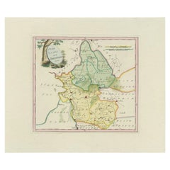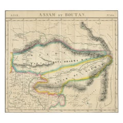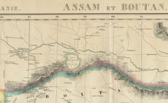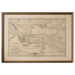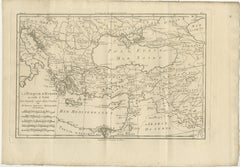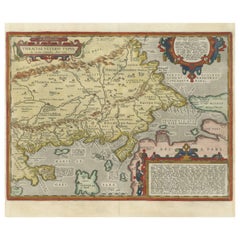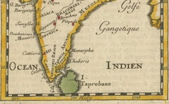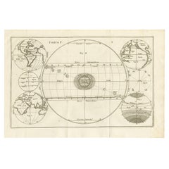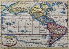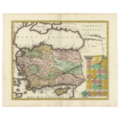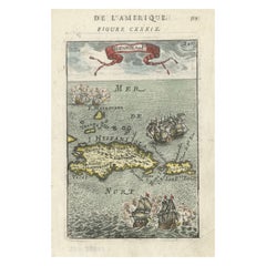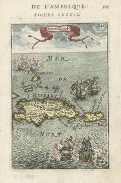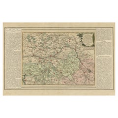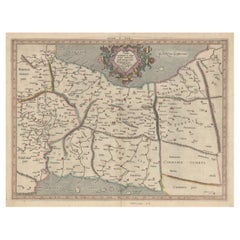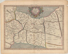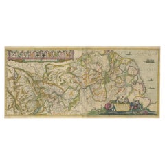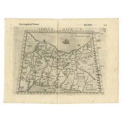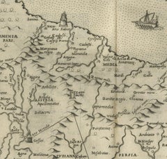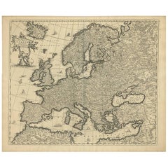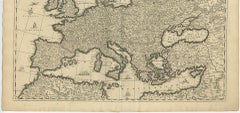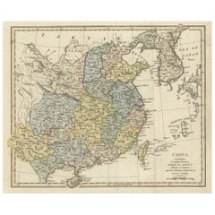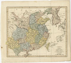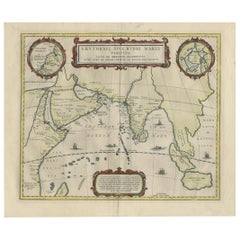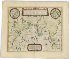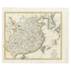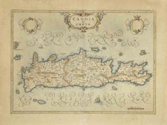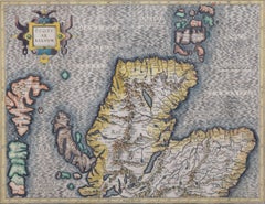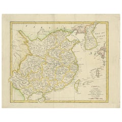
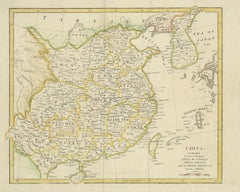
Antique Map of China by Artist Wilkinson, Engraved Paper, 1803
Located in Langweer, NL
Originates from Wilkinson's 'A General Atlas, being a Collection of Maps of the World and Quarters the Principal Empires, Kingdoms &c. with their several Provinces & other su...
Category
Early 19th Century British Antique World Maps
Materials
Paper