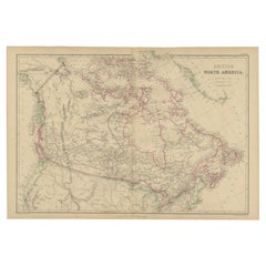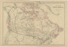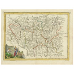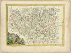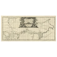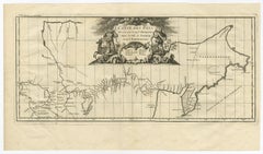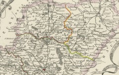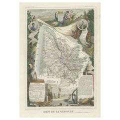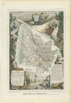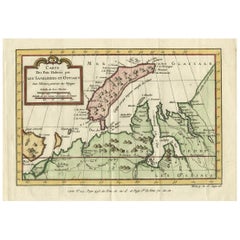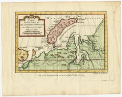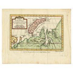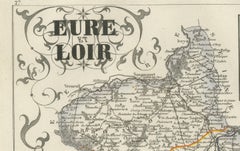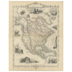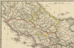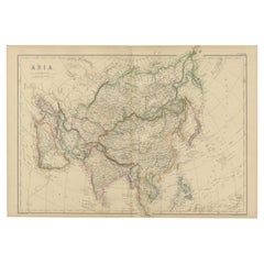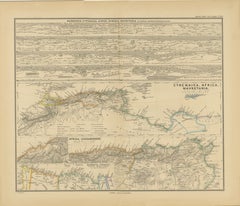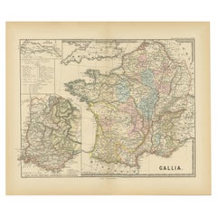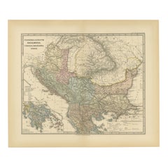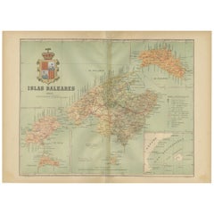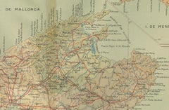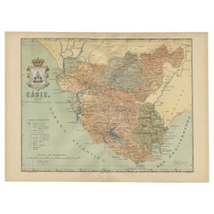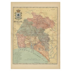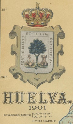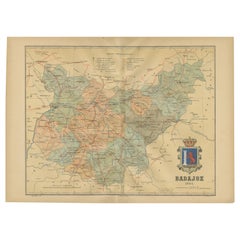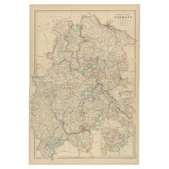
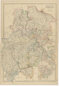
1859 Detailed Map of North West Germany with Bavaria Inset - Blackie's Atlas
$202Sale Price|30% Off
1859 Detailed Map of North West Germany with Bavaria Inset - Blackie's Atlas
Located in Langweer, NL
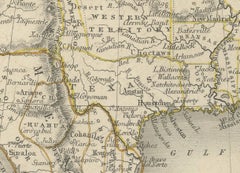
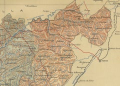
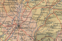
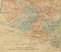
**Transportation Networks**: The map may illustrate the burgeoning railway lines, rivers, and roads, highlighting the transportation infrastructure that was instrumental in the regio...
Category
Antique Mid-19th Century Maps
Materials
Paper