Items Similar to North African Coasts: Marmarica to Mauretania in Roman Times, Published in 1880
Want more images or videos?
Request additional images or videos from the seller
1 of 6
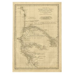
North African Coasts: Marmarica to Mauretania in Roman Times, Published in 1880
About the Item
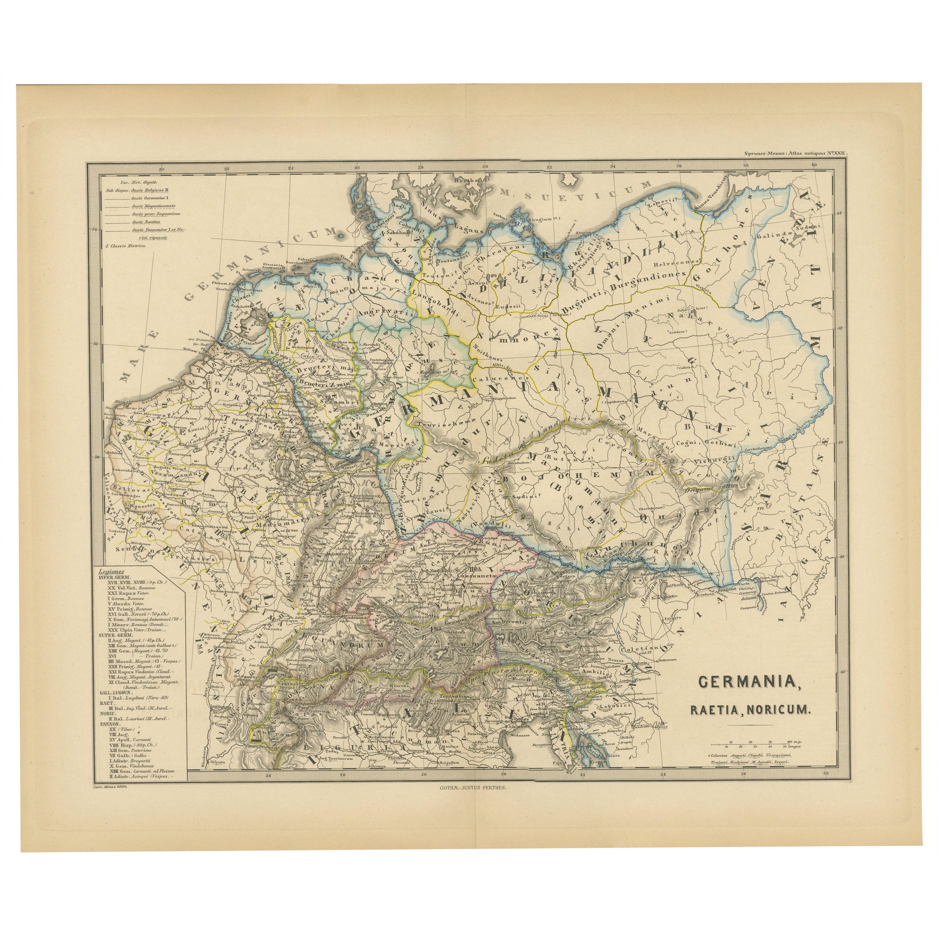
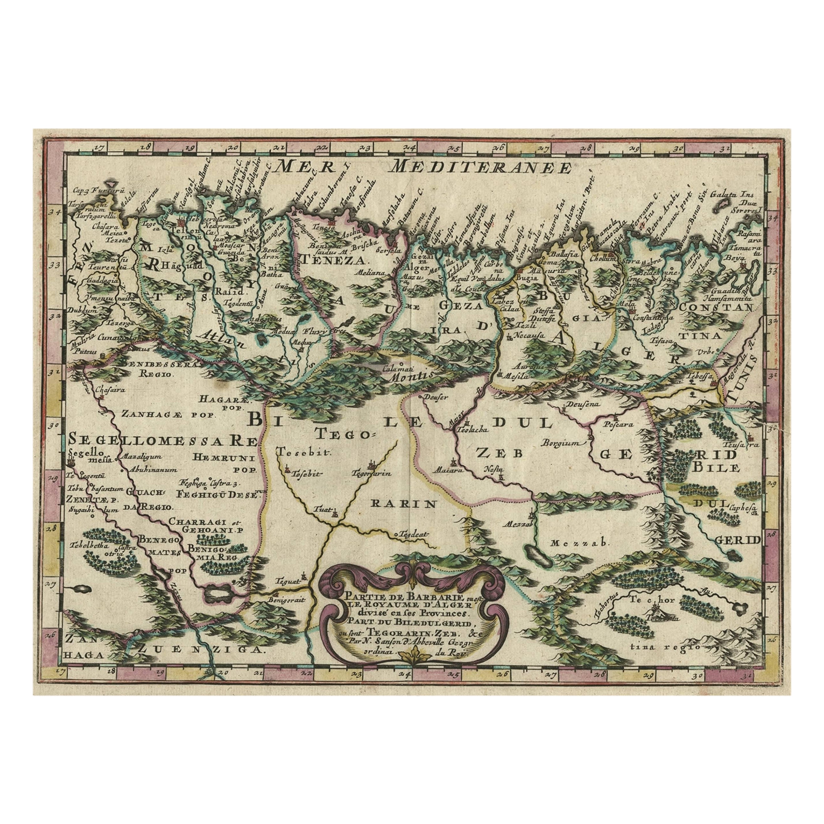
The map with the title "MARMARICA, CYRENAICA, AFRICA, NUMIDIA, MAURETANIA secundum Italiam Poetarum" presents a historical geographical view of the northern coast of Africa, detailing regions that correspond to parts of modern-day Libya, Tunisia, Algeria, and Morocco.
Notable Features of the Map:
1. **Multiple Regions**: It covers a vast area showing Marmarica, Cyrenaica, Africa (in the Roman provincial sense, not the continent as a whole), Numidia, and Mauretania.
2. **Topographical Details**: The map illustrates the terrain, including mountain ranges, valleys, and the coastline, along with cities and settlements marked throughout.
3. **Inset Maps**: Additional detailed maps of specific areas, like Cyrenaica and Mauretania, provide more focused geographical information.
4. **Historical Annotations**: There are annotations and notations, probably in Latin, providing insights into the historical and cultural significance of various locations.
5. **Roman Influence**: The map reflects the Roman division of territories in North Africa, an area that was of great importance to Rome for its agricultural wealth, particularly the fertile region known as the "breadbasket of Rome."
6. **Strategic Ports**: The coastal areas marked were strategically significant for Mediterranean trade and military campaigns during the Roman era.
7. **Literary References**: The title suggests that the map is structured according to descriptions by Roman poets, which may provide a unique literary perspective on the geography.
The period depicted on the map is during Roman antiquity, specifically during the Roman Republic and Roman Empire when these regions were provinces under Roman control. This would place the map within a broad range between the 3rd century BC and the 4th century AD, a time when Rome's influence was strongly felt across the Mediterranean basin. The map provides a fascinating insight into the ancient landscape that was crucial for the economic, military, and political life of the Roman Empire.
The map is from the "Spruner-Menke Atlas Antiquus," which is a historical atlas created by Karl Spruner von Merz, and later edited by Theodorus Menke. The atlas is known for its detailed maps of historical geographic regions, rendered with great precision and accompanied by scholarly research. These maps were particularly designed for educational use, providing a visual aid for the study of historical and ancient geography. The "Spruner-Menke Atlas Antiquus" is considered a significant work in the field of historical cartography and was published in the late 19th century.
- Dimensions:Height: 15.56 in (39.5 cm)Width: 18.51 in (47 cm)Depth: 0 in (0.02 mm)
- Materials and Techniques:
- Period:
- Date of Manufacture:1880
- Condition:Good, given age. General age-related toning, especially around the edges. Vertical folding line as issued. Please study scan carefully.
- Seller Location:Langweer, NL
- Reference Number:
About the Seller
5.0
Platinum Seller
These expertly vetted sellers are 1stDibs' most experienced sellers and are rated highest by our customers.
Established in 2009
1stDibs seller since 2017
1,928 sales on 1stDibs
Typical response time: <1 hour
- ShippingRetrieving quote...Ships From: Langweer, Netherlands
- Return PolicyA return for this item may be initiated within 14 days of delivery.
More From This SellerView All
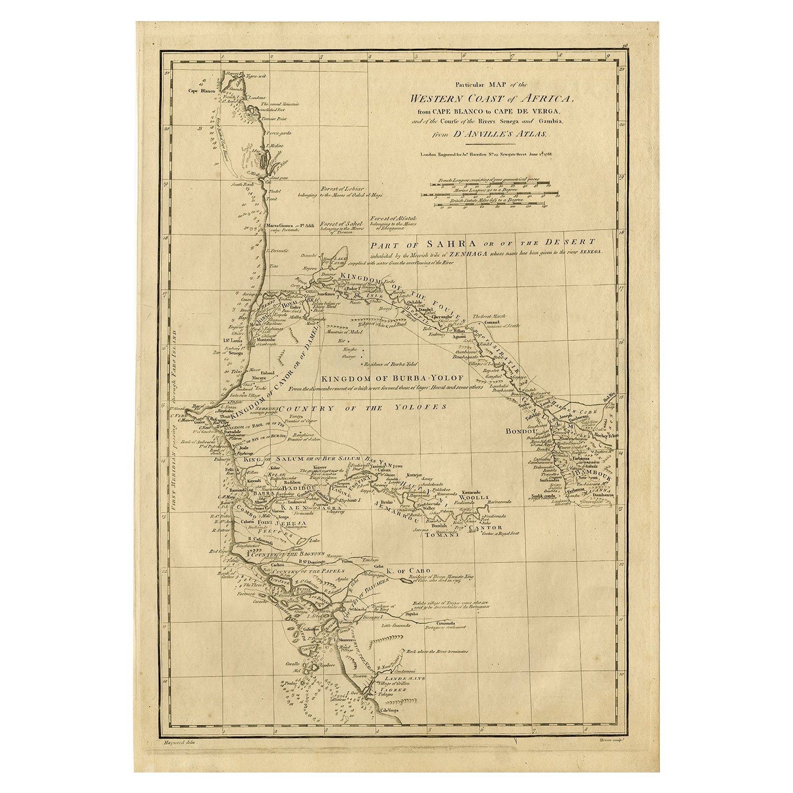
- Map of the West African coast from the North of Mauretania to Guinee, 1788Located in Langweer, NLAntique map titled 'Particular Map of the Western Coast of Africa, from Cape Blanco to Cape de Verga, and of the Course of the Rivers Senega and Gambia.' Map of the African coast...Category
Antique 1780s Maps
MaterialsPaper
- Copper-Engraved Map Showing the Algerian Coast of North Africa, Published 1683Located in Langweer, NLAntique map titled 'Partie de Barbarie, ou est le Royaume d'Alger (..)'. Copper-engraved map showing the Algerian coast of North Africa. Published 1683. Artists and Engravers:...Category
Antique 1680s Maps
MaterialsPaper
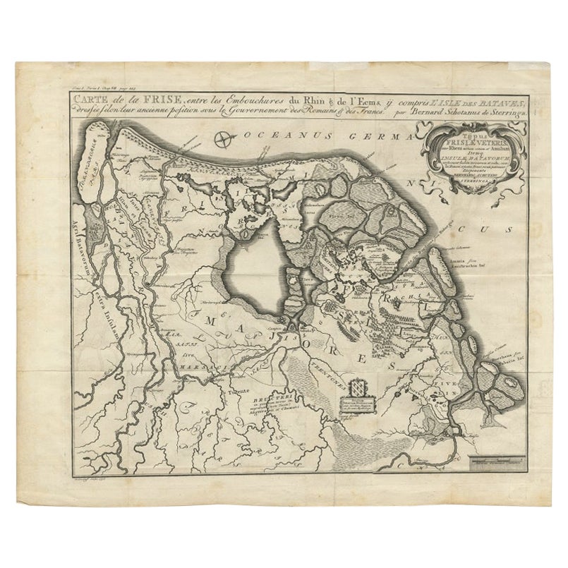
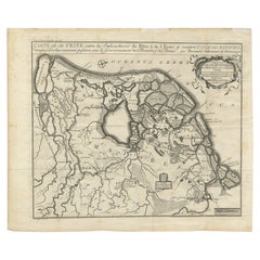
- Rare Antique Map of Friesland in Roman Times, Published 1778Located in Langweer, NLAntique map titled 'Carte de la Frise, entre les Embouchures du Rhin & de l'Eems, ij compris l'isle Bataves, dressée selon leur ancienne position le Gouvernement des Romains & des Fr...Category
Antique 18th Century Maps
MaterialsPaper
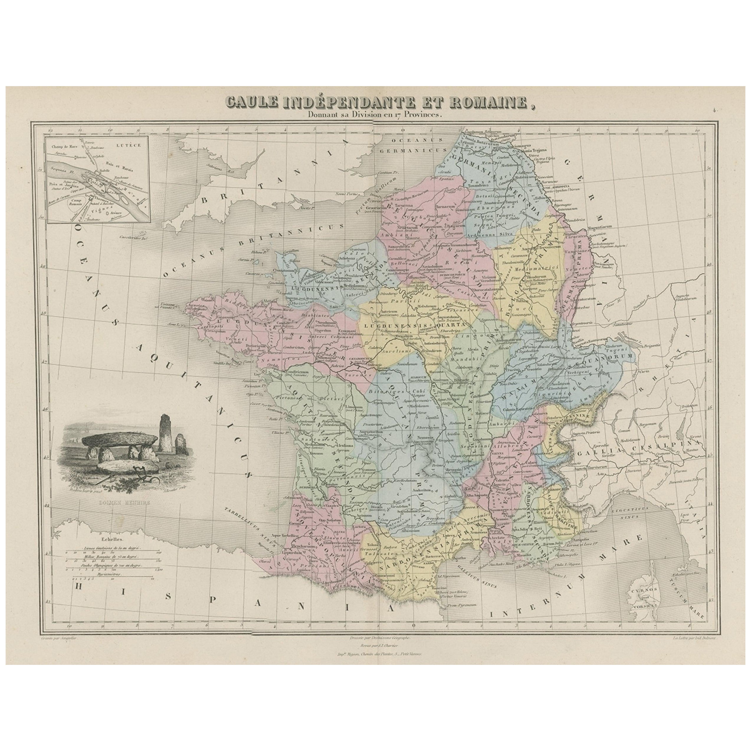
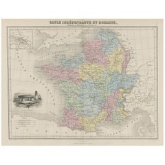
- Antique Map of France in Ancient Roman Times, 1880Located in Langweer, NLAntique map titled 'Gaule indépendante et Romaine'. Old map of Gaul or France in ancient Roman times. The map covers from the southern part of England (Britannia) to the north of S...Category
Antique 19th Century Maps
MaterialsPaper
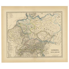
- Roman Frontiers Engraved: Germania, Raetia, and Noricum, Published in 1880Located in Langweer, NLThe map, titled "GERMANIA, RAETIA, NORICUM," depicts the regions of Germania, Raetia, and Noricum, which correspond to parts of modern-day Central and Eastern Europe, including areas of Germany, Austria, Switzerland, and the Balkans. Features of the map include: 1. **Regional Divisions**: The map is divided into the regions of Germania, Raetia, and Noricum, each likely differentiated by color or shading. 2. **Topography**: It details the mountain ranges, rivers, and other geographical features of the region. The Alps, which are central to Raetia, are prominently displayed. 3. **Roman Settlements and Roads**: The map likely marks Roman...Category
Antique 1880s Maps
MaterialsPaper
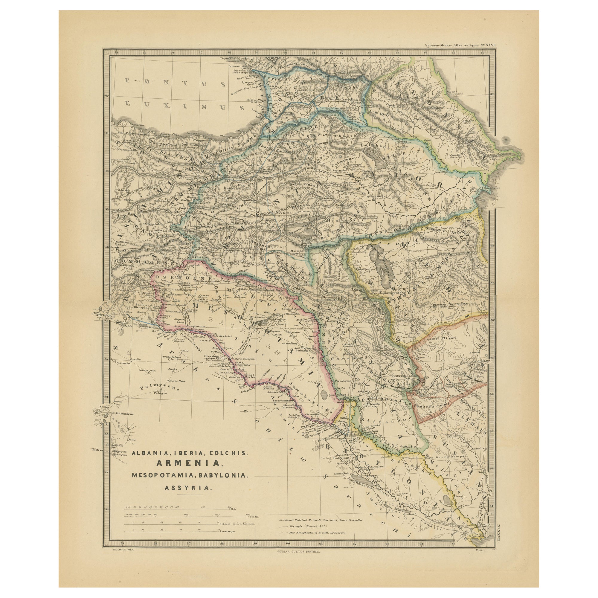
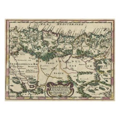
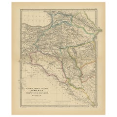
- Ancient Crossroads: Albania to Assyria in Antiquity, Published in 1880Located in Langweer, NLThe map titled "ALBANIA, IBERIA, COLCHIS, ARMENIA, MESOPOTAMIA, BABYLONIA, ASSYRIA" portrays the ancient regions that would encompass parts of modern-day Eastern Turkey, Armenia, Aze...Category
Antique 1880s Maps
MaterialsPaper
You May Also Like
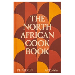
- The North African CookbookLocated in New York City, NY‘This cookbook is a must for a deep dive into North African classic and regional dishes.’ – Warda Bouguettaya, James Beard award-winning pastry chef and owner of Warda Patisserie, De...Category
21st Century and Contemporary Chinese Books
MaterialsPaper
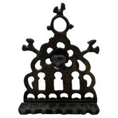
- Vintage Hanging North African Hanukkah MenorahLocated in San Diego, CABeautiful vintage hannukah menorah. This piece is cast brass that has aged beautifully with an ornate design that is beautiful and inspiring. The pati...Category
Vintage 1960s Central African Folk Art Religious Items
MaterialsBrass
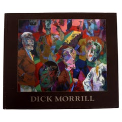
- Dick Morrill: A Part to Play in the Process, Published by Katharine T. CarterLocated in valatie, NYDick Morrill: A Part to Play in the Process, Published by Katharine T. Carter. 1st Ed softcover. Outstanding and vibrant photographs of this artist's work. "Dick Morrill makes narrat...Category
21st Century and Contemporary Books
MaterialsPaper
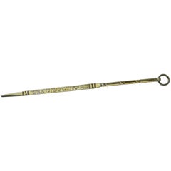
- Late 19th Century North-African Silver Torah PointerLocated in New York, NYHandmade gilt silver Torah pointer (Yad), probably Morocco, circa 1880. Engraved in Hebrew: "For the soul of the virgin Tova daughter of Erza Asher. Every item in Menorah Galleries...Category
Antique Late 19th Century African Religious Items
MaterialsSilver
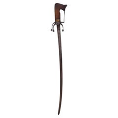
- North African Sword (Nimcha), Morocco, Early 19th CenturyLocated in Madrid, ESNorth African Sword (Nimcha), Morocco, Early 19th Century This North African sword, known as a "Nimcha," is a remarkable piece originating from Morocco, dating back to the early 19th...Category
Antique Late 19th Century Arms, Armor and Weapons
MaterialsWrought Iron
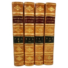
- Letters of the Earl of Chesterfield to His Son in 4 Volumes Published 1787Located in San Francisco, CAEarl of Chesterfield's letters to his son and luminaries of the day in 4 volumes in their original full leather bindings, published London J. Dodsley 1787. The spines have raised ban...Category
Antique Late 18th Century English George III Books
MaterialsPaper, Leather