Iraq Map

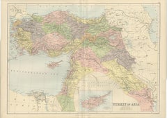
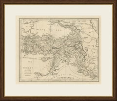
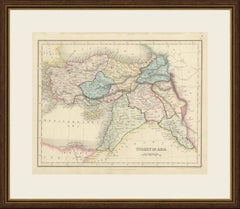
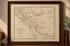
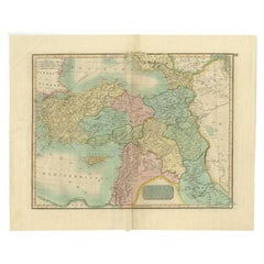
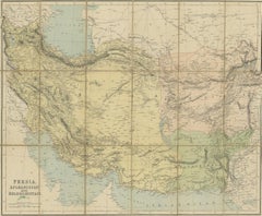
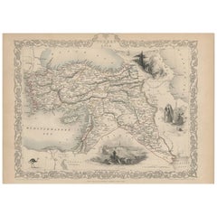
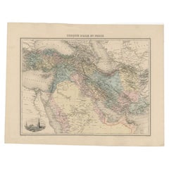
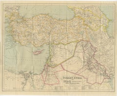
Philips' Imperial Map of Turkey, Syria, Iraq & Transcaucasia, c.1926

Philips' Imperial Map of Turkey, Syria, Iraq & Transcaucasia, c.1926

Located in Langweer, NL

Philips' Imperial Map of Turkey, Syria, Iraq & Transcaucasia, c.1926 A large and highly detailed folding map of the Near East issued by George Philip & Son as part of their celebrat...

Category

Early 20th Century British Maps

Materials

Paper

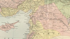
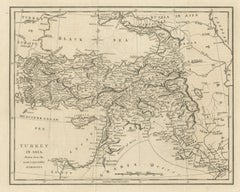
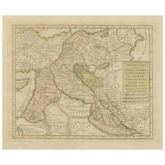
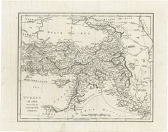
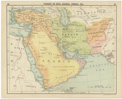
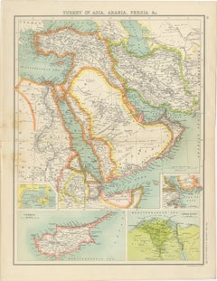
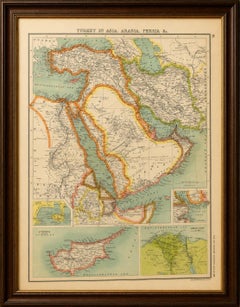
Antique Map Turkey in Asia, Ottoman Empire Anatolia Syria Iraq Black, 1884

Antique Map Turkey in Asia, Ottoman Empire Anatolia Syria Iraq Black, 1884

Located in Langweer, NL

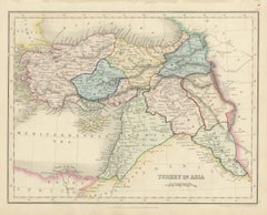
Antique Map Turkey in Asia, Ottoman Empire Anatolia Syria Iraq Black 1884 This detailed and beautifully engraved antique map titled Turkey in Asia was published in the New and Revis...

Category

Antique Late 19th Century Scottish Maps

Materials

Paper

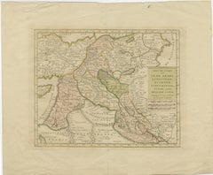
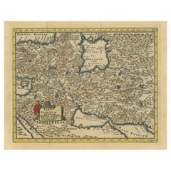
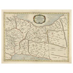
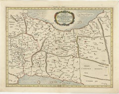
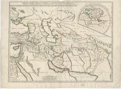
Exploring Ancient Persia: Ptolemaic Map of Iran and Iraq by Ptolemy and Mercator

Exploring Ancient Persia: Ptolemaic Map of Iran and Iraq by Ptolemy and Mercator

Located in Langweer, NL

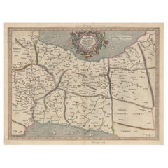
"Asiae V Tab:", Ptolemy/Mercator Subject: Persia - Iran Period: 1618 (published) Publication: Theatrum Geographiae Veteris Color: Hand Color Fine Ptolemaic map depicting much of mod...

Category

Antique 1610s Maps

Materials

Paper

Antique Map of the Ancient Persian Empire – Imperium Persicum, 1817

Antique Map of the Ancient Persian Empire – Imperium Persicum, 1817

Located in Langweer, NL

Keyword block: Imperium Persicum Antiquum, Persian Empire map, Achaemenid Empire map, Cyrus the Great empire map, ancient Persia map, Atlas Classica map, Robert Wilkinson map, London...

Category

Antique Early 19th Century British Maps

Materials

Paper

Ottoman Empire Map — Turkey in Asia, Syria & Mesopotamia, c.1830

Ottoman Empire Map — Turkey in Asia, Syria & Mesopotamia, c.1830

Located in Langweer, NL

Keywords: Ottoman Empire map, Turkey in Asia, Anatolia, Syria, Mesopotamia, Middle East antique map, Black Sea, Cyprus, Levant, Armenia, Iraq, Persia, 19th century map, antique engra...

Category

Antique Early 19th Century British Maps

Materials

Paper

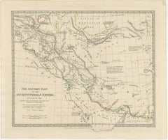
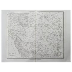
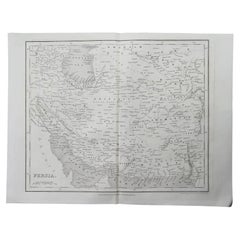
Ancient Persian Empire Map of Persia, Babylon & Arabia, Published 1831

Ancient Persian Empire Map of Persia, Babylon & Arabia, Published 1831

Located in Langweer, NL

Keywords: Ancient Persia, Persian Empire, Persia map, Iran, Iraq, Mesopotamia, Babylon, Persepolis, Susa, Ecbatana, Arabia, Persian Gulf, Caspian Sea, Parthia, Media, Carmania, Gedro...

Category

Antique Early 19th Century British Maps

Materials

Paper

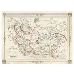
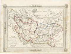
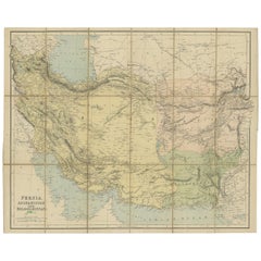
Persia Unveiled: Antique Map of Iran, Afghanistan, and Beyond, 1852

Persia Unveiled: Antique Map of Iran, Afghanistan, and Beyond, 1852

Located in Langweer, NL

- It extends from the Caspian Sea in the north to the Persian Gulf in the south. - The map also includes parts of adjacent countries, such as Pakistan, India, and Iraq. 2.

Category

Antique Mid-19th Century French Maps

Materials

Paper

Recent Sales

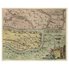
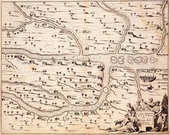
17th Century Map of Tigris and Euphrates Rivers (today Iraq)

17th Century Map of Tigris and Euphrates Rivers (today Iraq)

Located in New York, NY

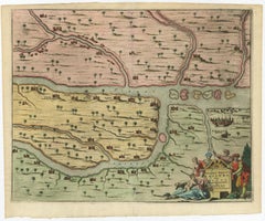
1680 original map showing the confluence of the Tigris and Euphrates Rivers in the area that is today Iraq.

Category

18th Century and Earlier Realist Landscape Prints

Materials

Lithograph

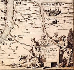
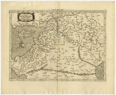
Map of Syria, Libanon, Palestine, Iraq, Israel by Mercator - Engraving - 17th c.

Map of Syria, Libanon, Palestine, Iraq, Israel by Mercator - Engraving - 17th c.

By Gerard Mercator

Located in Zeeland, Noord-Brabant

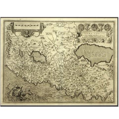
.' - A beautiful Ptolemaic map of of the region between the Mediterranean Sea and Persian Gulf, including the Holy Land, present day Syria, Libanon, Palestine, Iraq and Israel.

Category

1690s Old Masters More Prints

Materials

Engraving

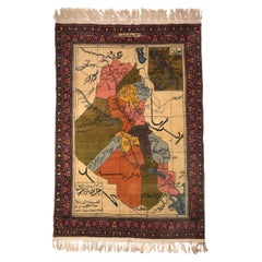
Rare Wool Modern Iraqi Map Rug Made by the Iraqi Prisoners, Mid-20th Century

Rare Wool Modern Iraqi Map Rug Made by the Iraqi Prisoners, Mid-20th Century

Located in London, GB

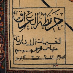
Of a rectangular form modern Iraqi map rug surrounded by a floral design boarder, signed; "made in the Iraqi prisons", multi colours wool shows different Iraqi provinces and the neig...

Category

Mid-20th Century Iraqi More Carpets

Materials

Wool

Original Colorful Antique Map of Turkey in Asia, 1817

Original Colorful Antique Map of Turkey in Asia, 1817

Located in Langweer, NL

With Syria, Palestine, Iraq etc. This map originates from Thomson's 'New General Atlas', Edinburgh 1817.

Category

Antique 19th Century Maps

Materials

Paper

Antique Map of Modern-Day Armenia, Iran, Iraq, Syria, Israel and Surroundings

Antique Map of Modern-Day Armenia, Iran, Iraq, Syria, Israel and Surroundings

Located in Langweer, NL

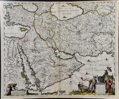
Detailed regional map of modern day Armenia, Iran, Iraq, Syria, Israel, Jordan, Turkmenistan, Afghanistan and part of Pakistan.

Category

Antique Late 17th Century Maps

Materials

Paper

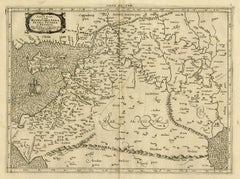
Antique Ptolemaic Map of Modern-Day Iran, Iraq and Part of Armenia

Antique Ptolemaic Map of Modern-Day Iran, Iraq and Part of Armenia

By Gerard Mercator

Located in Langweer, NL

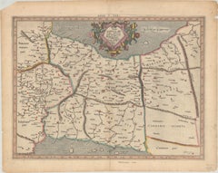
Ptolemaic map of much of modern-day Iran, Iraq and part of Armenia.

Category

Antique Late 17th Century Maps

Materials

Paper

Get Updated with New Arrivals
Save "Iraq Map", and we’ll notify you when there are new listings in this category.

Iraq Map For Sale on 1stDibs

Choose from an assortment of styles, material and more with respect to the iraq map you’re looking for at 1stDibs. Frequently made of paper, metal and silver, every iraq map was constructed with great care. You’ve searched high and low for the perfect iraq map — we have versions that date back to the 18th Century alongside those produced as recently as the 20th Century are available. Each iraq map bearing Art Deco hallmarks is very popular. You’ll likely find more than one iraq map that is appealing in its simplicity, but Gerard Mercator and Pieter Van Der Aa produced versions that are worth a look.

Finding the Right Collectibles-curiosities for You

Antique and vintage collectibles and curiosities can bring whimsy and wonder to any interior. 

Decorating with old scientific instruments, historical memorabilia and vintage musical instruments, as well as other authentic collectibles and curiosities that can be found on 1stDibs, presents an opportunity to create a unique, natural history museum-like atmosphere in your home that can provoke conversation as often as it pays tribute to how far we’ve come in understanding our world. 

And bringing collectibles and curiosities into your space is actually on trend — Wunderkammern, or curiosity cabinets, were all the rage in Europe during the 1500s and continued to have adherents there and in the U.S. in the following centuries. Today, however, they’re experiencing a real surge in popularity and influencing how many interior designers are furnishing and decorating homes — combining contemporary with antique, scientific with tribal, earthly with extraterrestrial, Les Lalanne tables with Flemish tapestries.

The original Wunderkammern were entire rooms filled with objects demonstrating their owners’ worldly knowledge: A proper one included artificiala or preciosa (objets d’art); naturalia (such as skeletons, shells, minerals); exotica (taxidermy or dried plants); and scientifica (scientific instruments), frequently alongside religious relics and ancient artifacts.

Pay tribute to a history of rich and diverse musical traditions that have taken shape all over the world by decorating your home with a collection of antique and vintage musical instruments — with a little help from strong hanging wire or some wall hooks, vintage brass instruments such as a gong, French horn or trumpet can help elevate a home office or complement the efforts you’ve made to ensure a welcoming vibe in your home’s entryway. Bells or antique wind instruments can add provocative metallic contrasts to dark woods as tabletop decorative objects.  

Create an intriguing focal point with Georgian scientific instruments, such as stick barometers with mahogany cases or lacquered brass telescopes. These items stem from an era named for the monarchies of the four King Georges, who ruled England in succession starting in 1714 (plus King William’s reign, which lasted until 1837). Just as there was beautiful jewelry produced during the period that today is coveted by collectors, there is much to be found in the collectibles and curiosities realm too.

Wanderlust, nostalgia and a shared love of good design are contributing factors to certain trends in decorating — just as vintage trunks and luggage have reappeared as furniture or home accents in a bedroom or foyer, decorating with globes, maps or nautical objects is similarly rooted in the allure of travel and a penchant for the stylish finishing touch that collectibles bring to our homes.

Find a wide range of antique and vintage collectibles and curiosities on 1stDibs.
Read More