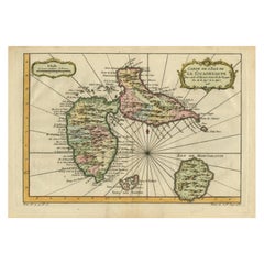
Antique Map of Guadeloupe, Island in the Caribbean, c.1757
Located in Langweer, NL
Antique map titled 'Carte de L'Isle de la Guadeloupe'. A very decorative map of Guadeloupe in the
Category
18th Century Large Antique Maps
Materials
Paper
Antique Map of Guadeloupe, Island in the Caribbean, c.1757
Located in Langweer, NL
Antique map titled 'Carte de L'Isle de la Guadeloupe'. A very decorative map of Guadeloupe in the
Paper
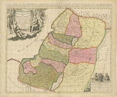
Sanson & Schenk Biblical Map of the Twelve Tribes of Israel, circa 1700
Located in Langweer, NL
objects for scholars, clergy, and collectors. Today these large biblical maps remain highly sought after
Paper
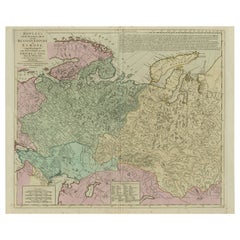
Antique Map of the Russian Empire in Europe, ca.1780
Located in Langweer, NL
, Comprehending the West Part of the Empire in Asia' Large and detailed map of the Russian Empire in Europe
Paper

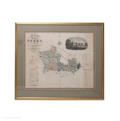
Map Berkshire C&J Greenwood Windsor Castle JDower Polling Hundreds
Located in BUNGAY, SUFFOLK
Map of the County of Berkshire from an Actual Survey made in the Years 1822 & 1823 by C&J Greenwood
Paper
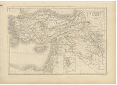
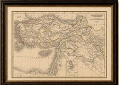
Antique Map of Turkey in Asia, Ottoman Empire Middle East, c. 1850
Located in Langweer, NL
Antique Map of Turkey in Asia, Ottoman Empire Middle East, c. 1850 Large and finely engraved
Paper
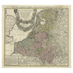
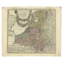
Antique Map of the Seventeen Provinces by Homann Heirs, 1748
By Homann Heirs
Located in Langweer, NL
on map publishing in Germany. Apart from the atlases the firm published a very large number of
Paper
$491Sale Price|20% Off
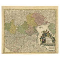
Antique Map of Northern Italy by Homann Heirs, c.1730
Located in Langweer, NL
publishing in Germany. Apart from the atlases the firm published a very large number of individual maps. The
Paper
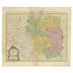
Antique Map of the Beaujolais Region by Homann Heirs, 1762
Located in Langweer, NL
on map publishing in Germany. Apart from the atlases the firm published a very large number of
Paper
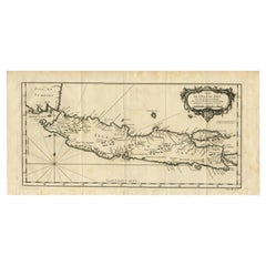
Antique Map of Java and Madura Island, Indonesia, c.1760
Located in Langweer, NL
50 year career, he produced a large number of maps of particular interest to the Ministere de la
Paper
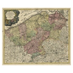

Antique Map of Flanders, Belgium by Homann Heirs, c.1735
Located in Langweer, NL
. Apart from the atlases the firm published a very large number of individual maps. The Homanns produced a
Paper
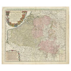

Antique Map of Belgium and Luxembourg by Homann Heirs, 1747
Located in Langweer, NL
publishing in Germany. Apart from the atlases the firm published a very large number of individual maps. The
Paper
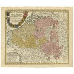

Antique Map of Belgium and Luxembourg by Homann Heirs, 1747
Located in Langweer, NL
publishing in Germany. Apart from the atlases the firm published a very large number of individual maps. The
Paper
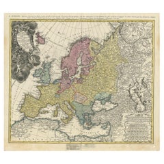
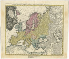
Antique Map of Europe with Elaborate Title Cartouche, c.1750
Located in Langweer, NL
publishing in Germany. Apart from the atlases the firm published a very large number of individual maps. The
Paper
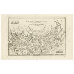
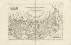
Russian Empire in Europe & Asia – Enlightenment Map by Rigobert Bonne, c.1780
Located in Langweer, NL
Russian Empire in Europe & Asia – Enlightenment Map by Rigobert Bonne, c.1780 This large late-18th
Paper
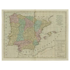

Antique Map of Spain and Portugal by Bowles, c.1780
Located in Langweer, NL
Lisle'. Large and detailed map of Spain and Portugal. Artists and Engravers: Made by 'Thomas & Carington
Paper
$307Sale Price|20% Off
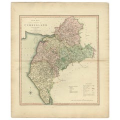
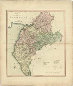
Antique Decorative and Detailed County Map of Cumberland, England, 1804
Located in Langweer, NL
published as an atlas, Smith's New English Atlas. The maps are large and contain information required by
Paper
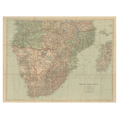
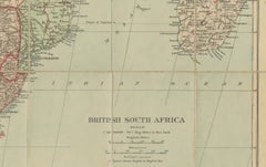
Antique Map of British South Africa – Colonial Territories & Railways, c.1920s
Located in Langweer, NL
Antique Map of British South Africa – Colonial Territories & Railways, c.1920s This large and
Paper
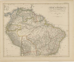
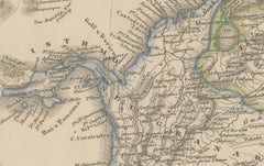
1857 Map of Northern South America – Brazil, Colombia, Peru by Stülpnagel
Located in Langweer, NL
Justus Perthes in Gotha, 1857. This is the **northern sheet** of a large two-part map of South America
Paper
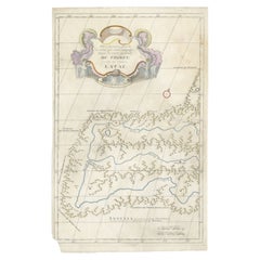
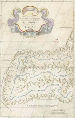
Antique Map of Tibet and Latac by D’Anville, Paris, 1737
Located in Langweer, NL
larger atlas. The map covers the borderlands of Tibet, Ladakh, and Mongolia, an area of great
Paper
$572Sale Price|43% Off
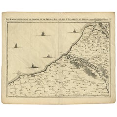
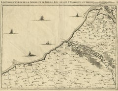
Antique Map: Estuaries of the Somme & Bresle, Northern France & Netherlands
By Jacobus Harrewijn
Located in Langweer, NL
larger series of maps that collectively depict a significant portion of the Southern Netherlands, this
Paper
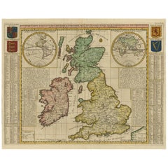
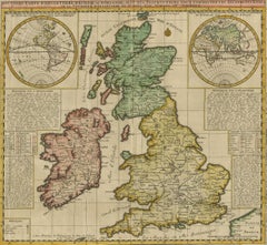
Antique Map of the British Isles by H. Chatelain, 1719
By Henri-Abraham Chatelain
Located in Langweer, NL
Beautiful hand colored large format map of the British Isles, with large insets of the Eastern and
Paper
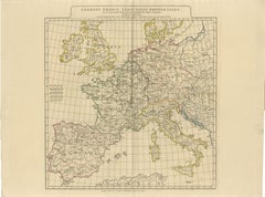
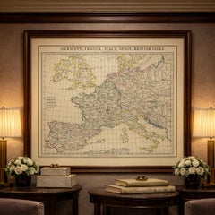
Antique Map of Europe – Roman to Medieval Transition, d’Anville, c.1818
Located in Langweer, NL
, crisp line work, and large continental scope make this map especially effective as wall art in libraries
Paper
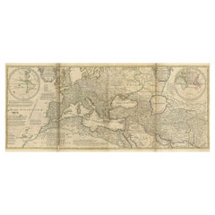
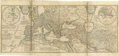
Rare 1730 Roman Empire Map by Moll - Detailed and Engraved Masterpiece
Located in Langweer, NL
invasions, this large and meticulously engraved map showcases the vast extent of the Roman Empire at its
Paper
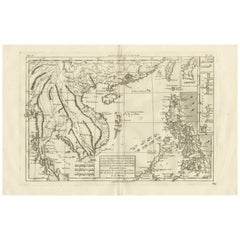
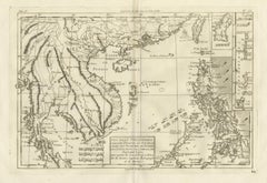
The Philippines & Southeast Asia – Bonne’s Antique Map of Indo-China, c.1780
Located in Langweer, NL
positions of the islands within the Indian Ocean. The larger-scale maps carefully delineate coastlines, bays
Paper
$7,100Sale Price|20% Off
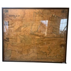
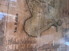
Framed Mid-19th Century Wall Map of Long Island, the Hamptons
Located in Sag Harbor, NY
A Framed museum quality find. This large wall map dates to the mid-1800s. Detailed inset maps of
Linen, Paper

$434Sale Price|20% Off
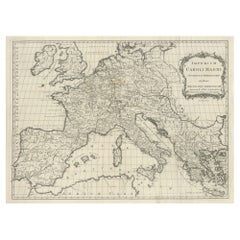
Antique Map of Europe by T. Kitchin, Charlemagne's Empire, Circa 1779
Located in Langweer, NL
Antique map titled 'Imperium Caroli Magni (..)'. Large antique map of Europe, showing the Empire of
Paper
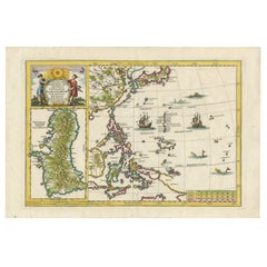
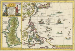
Philippines, China, Japan & Korea – Jesuit Map with Guam Inset, Scherer c.1700
Located in Langweer, NL
the wider context of East and Southeast Asia, and includes a large and highly detailed inset map of
Paper
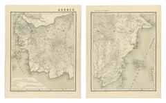

Antique Map Set of Western & Southern Borneo, Dutch East Indies Era, 1884
Located in Langweer, NL
and modern interiors. Historically, these maps capture Borneo at a moment when large areas of the
Paper

$416Sale Price|20% Off
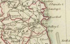
Map of Ireland: Early 19th Century - from the 1802 Tardieu Atlas
Located in Langweer, NL
Antique Map Description **Title:** Carte d'Irlande **Publication Details:** - **Atlas Title
Paper
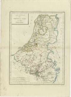
Map of the United Provinces & Low Countries: Early 19th Century - 1802
Located in Langweer, NL
early 19th century. It is part of a larger atlas that includes 60 maps, providing a comprehensive view
Paper
$548Sale Price|20% Off
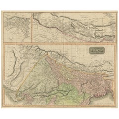
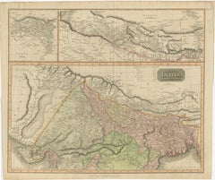
Antique Map of British India with Insets of Kabul and Nepal
Located in Langweer, NL
Antique map titled 'British India, northern part'. Large format map of the northern area of the
Paper

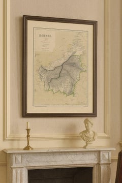
Rare Antique Map of Borneo (Kalimantan), Dutch East Indies Colonial Era, 1884
Located in Langweer, NL
Antique Map of Borneo Dutch East Indies Colonial Kalimantan Cartography This decorative antique
Paper
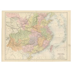
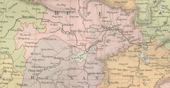
Antique Map of China with Provinces and Treaty Ports – Black’s Atlas, 1884
Located in Langweer, NL
this period. Plate mark visible. No tears or losses. Framing tips: This large-format map displays
Paper
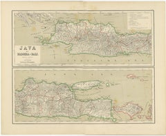
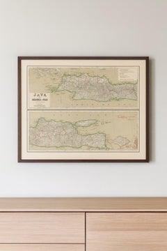
Old Map of Java, Madura & Bali - Dutch East Indies Colonial Cartography, 1884
Located in Langweer, NL
cartography, Indonesian history, colonial studies, and large-format wall maps. It displays exceptionally well
Paper
$491Sale Price|20% Off
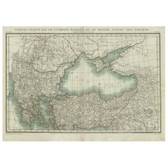
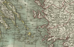
Black Sea & Eastern Mediterranean Map: Eastern Roman Empire, Tardieu Atlas, 1802
Located in Langweer, NL
larger atlas that includes 60 maps, providing a comprehensive view of both ancient and modern geography
Paper
$453Sale Price|20% Off
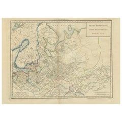
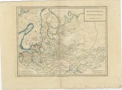
Map of Northern European Russia: Early 19th Century - 1802 Tardieu Atlas
Located in Langweer, NL
part of a larger atlas that includes 60 maps, providing a comprehensive view of both ancient and modern
Paper
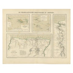
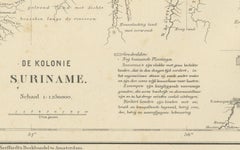
Antique Map of Dutch Colonies in the Caribbean & Suriname by Dornseiffen, 1884
Located in Langweer, NL
colonial atlas series. The sheet is composed of several coordinated maps. The large central map shows the
Paper
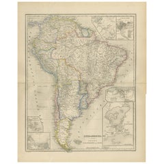
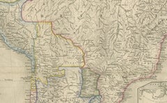
South America Map with Insets – Nieuwe Hand-Atlas, Noothoven van Goor, 1876
Located in Langweer, NL
aesthetics. Its large format and multiple inset maps make it a standout decorative and historical piece
Paper
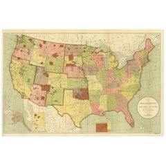
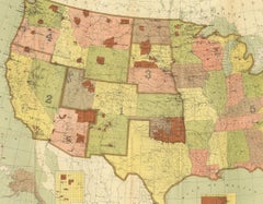
Antique Map Showing the Locations of Native American Tribes in 1899
Located in Langweer, NL
'. Large folding map of the United States showing the Indian Reservations. The present map locates all the
Paper
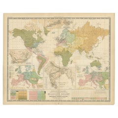
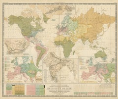
Antique Map Showing the Religions Around the World by Johnston '1854'
Located in Langweer, NL
According to Religious Belief'. Rare large-size thematic map on the distribution of religions around the
Paper
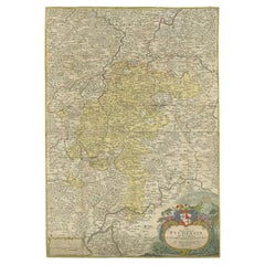
Antique Map of the Region of Fulda by Homann, c.1730
Located in Langweer, NL
Antique map titled 'S.R.I. Principatus Fuldensis in Buchonia'. Rare edition of the large JB Homann
Paper
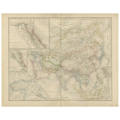
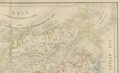
Asia Map with Middle East & India Insets – Nieuwe Hand-Atlas, Leiden 1876
Located in Langweer, NL
Asia Map with Middle East & India Insets – Nieuwe Hand-Atlas, Leiden 1876 This large, beautifully
Paper
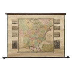
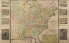
"The United States from the Latest Authorities" Antique Wall Map, 1835
Located in Colorado Springs, CO
-colored engraved wall map of the eastern half of the United States, this map has a large inset of the
Paper
$2,505Sale Price|20% Off
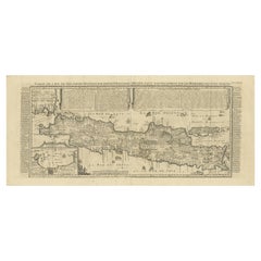
Antique Map of Java by Henri Chatelain, Decorative Print, 1718, France
Located in Langweer, NL
tout Nouvellement (..)'. Decorative large format map map of Java, with an inset of the bay of Batavia
Paper
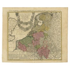
Antique Map of the Seventeen Provinces of Netherlands, Belgium, Luxembourg, 1748
By Homann Heirs
Located in Langweer, NL
very large number of individual maps. The Homanns produced a Neuer Atlas in 1714, a Grosser Atlas in
Paper
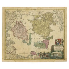
Antique Map of the Islands of Denmark by Homann Heirs, 1720
Located in Langweer, NL
atlases the firm published a very large number of individual maps. The Homanns produced a Neuer Atlas in
Paper
$444Sale Price|20% Off
Antique Map of the Baltic Region by Homann Heirs, c.1730
Located in Langweer, NL
atlases the firm published a very large number of individual maps. The Homanns produced a Neuer Atlas in
Paper
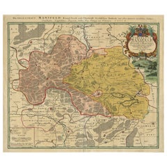

Detailed Antique Map Showing Mansfeld in Saxony-Anhalt, Germany, ca.1750
Located in Langweer, NL
atlases the firm published a very large number of individual maps. The Homanns produced a Neuer Atlas in
Paper
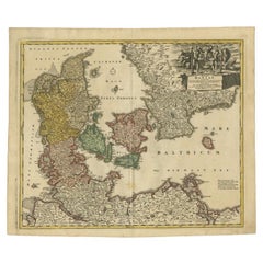
Antique Map of Denmark with the Danish Royal Crest, c.1730
By Homann Heirs
Located in Langweer, NL
Germany. Apart from the atlases the firm published a very large number of individual maps. The Homanns
Paper
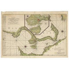
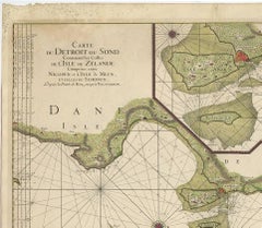
$2,127Sale Price|20% Off
Antique Map: Carte du Détroit du Sond with Copenhagen Inset, 1693
Located in Langweer, NL
his time. Jaillot's ability to combine Sanson’s precision with large-scale, decorative maps made his
Paper
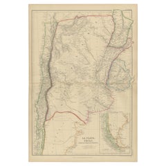
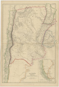
La Plata, Chile, Paraguay, Uruguay and Patagonia, Antique Map, Blackie, 1859
Located in Langweer, NL
cartography and to interior designers seeking a large-scale, historically grounded wall map. Condition report
Paper
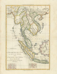
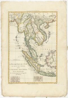
Elegant 18th Century Map of Southeast Asia, Siam, Sumatra & Java by Bonne - 1787
Located in Langweer, NL
Antique Map Southeast Asia Siam Sumatra Java Rigobert Bonne 1787 This refined late eighteenth
Paper
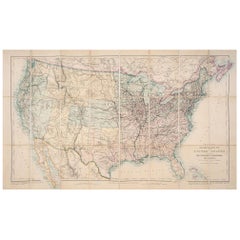
1876 Map of the United States: Detailing the Railroads and Unsettled Territories
Located in Langweer, NL
. Unsettled Territories: Large portions of the map, particularly in the west, are marked as unsettled
Paper
$1,737Sale Price|40% Off
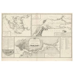
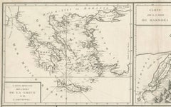
Map of Constantinople, Bosphorus, the Coasts of Greece and the Archipelago, 1785
Located in Langweer, NL
This is a large 1785 map titled "Carte de la Ville de Constantinople et du Bosphore de Thrace
Paper
$1,985Sale Price|30% Off
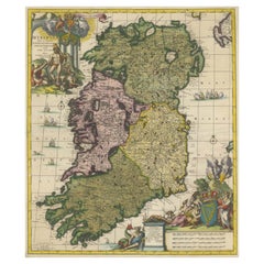
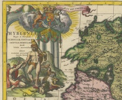
Hibernia Regnum Map by Carel Allard, 1700: Hand-Colored Provinces of Ireland
Located in Langweer, NL
includes two large decorative cartouches. The map is part of an atlas by Carel Allard, an Amsterdam-based
Paper
$465Sale Price|20% Off
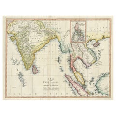
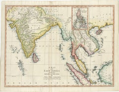
Antique Map of the East Indies by T. Kitchin, Engraved, Circa 1779
Located in Langweer, NL
Antique map titled 'A Map of the East Indies (..)'. Large antique map of Southeast Asia, India, and
Paper
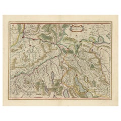
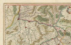
Map of Northwestern Switzerland (Basel and Zurich Region) by Blaeu, c.1650
Located in Langweer, NL
Dutch cartographers Willem and Jan Blaeu around 1650. It is part of a larger series of regional maps of
Paper
Antique and vintage collectibles and curiosities can bring whimsy and wonder to any interior.
Decorating with old scientific instruments, historical memorabilia and vintage musical instruments, as well as other authentic collectibles and curiosities that can be found on 1stDibs, presents an opportunity to create a unique, natural history museum-like atmosphere in your home that can provoke conversation as often as it pays tribute to how far we’ve come in understanding our world.
And bringing collectibles and curiosities into your space is actually on trend — Wunderkammern, or curiosity cabinets, were all the rage in Europe during the 1500s and continued to have adherents there and in the U.S. in the following centuries. Today, however, they’re experiencing a real surge in popularity and influencing how many interior designers are furnishing and decorating homes — combining contemporary with antique, scientific with tribal, earthly with extraterrestrial, Les Lalanne tables with Flemish tapestries.
The original Wunderkammern were entire rooms filled with objects demonstrating their owners’ worldly knowledge: A proper one included artificiala or preciosa (objets d’art); naturalia (such as skeletons, shells, minerals); exotica (taxidermy or dried plants); and scientifica (scientific instruments), frequently alongside religious relics and ancient artifacts.
Pay tribute to a history of rich and diverse musical traditions that have taken shape all over the world by decorating your home with a collection of antique and vintage musical instruments — with a little help from strong hanging wire or some wall hooks, vintage brass instruments such as a gong, French horn or trumpet can help elevate a home office or complement the efforts you’ve made to ensure a welcoming vibe in your home’s entryway. Bells or antique wind instruments can add provocative metallic contrasts to dark woods as tabletop decorative objects.
Create an intriguing focal point with Georgian scientific instruments, such as stick barometers with mahogany cases or lacquered brass telescopes. These items stem from an era named for the monarchies of the four King Georges, who ruled England in succession starting in 1714 (plus King William’s reign, which lasted until 1837). Just as there was beautiful jewelry produced during the period that today is coveted by collectors, there is much to be found in the collectibles and curiosities realm too.
Wanderlust, nostalgia and a shared love of good design are contributing factors to certain trends in decorating — just as vintage trunks and luggage have reappeared as furniture or home accents in a bedroom or foyer, decorating with globes, maps or nautical objects is similarly rooted in the allure of travel and a penchant for the stylish finishing touch that collectibles bring to our homes.
Find a wide range of antique and vintage collectibles and curiosities on 1stDibs.
It’s never too early for good design. These interiors combine elevated furnishings and a youthful spirit, resulting in spaces that are at once elegant and whimsical.
Produced in 1843, the well-preserved volume is evidence of the author's exacting specifications.
New or old, the coverlets add old-time charm to any space.
Get into the games! These items celebrate the events, athletes, host countries and sporting spirit.
French trendsetter and serial collector Daniel Rozensztroch tells us about his obsession with objects related to seafaring men.
It's hard to resist the allure of a beautiful pool. So, go ahead and daydream about whiling away your summer in paradise.
The sought-after designer worked with the team at Hoffman Creative to produce a monograph that beautifully showcases some of Studio Shamshiri's most inspiring projects.
Italian writer and collector Umberto Pasti opens the doors to his remarkable cave of wonders in North Africa.