Items Similar to Detailed Antique Map Showing Mansfeld in Saxony-Anhalt, Germany, ca.1750
Want more images or videos?
Request additional images or videos from the seller
1 of 5
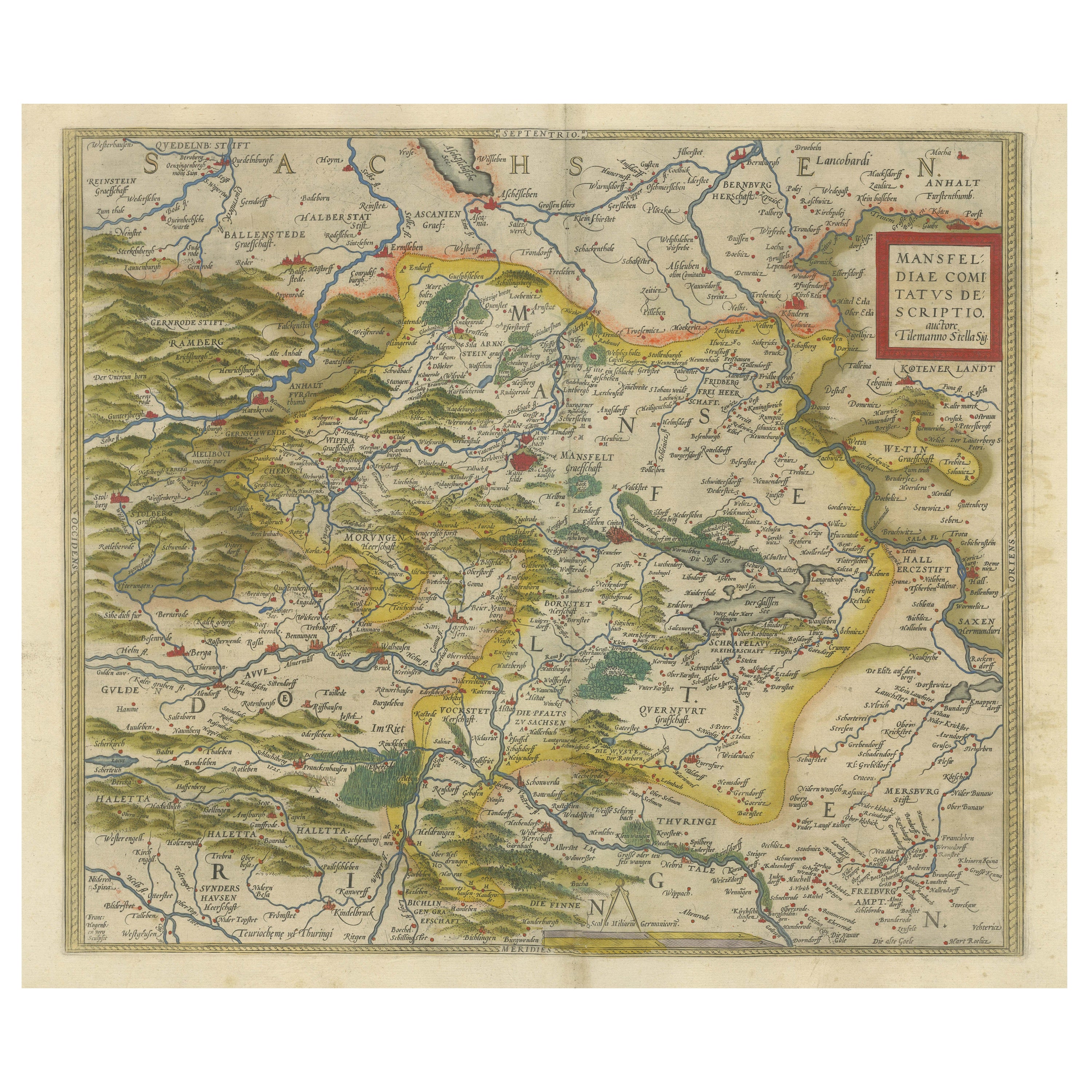
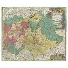
Detailed Antique Map Showing Mansfeld in Saxony-Anhalt, Germany, ca.1750
About the Item
Description: Antique map titled 'Die Grafschaft Mansfeld Konigl. Preuss. Churfurstl. Sachsischen Antheils mit allen darinnen befindlichen Stadten Dorfschaften.'
Detailed map showing the part of Mansfeld in Saxony-Anhalt, Germany . Title cartouche with coats of arms. Source unknown, to be determined.
Artists and Engravers: Following the long period of Dutch domination, the Homann family became the most important map publishers in Germany in the eighteenth century, the business being founded by J.B. Homann in Nuremberg about the year 1702. Soon after publishing his first atlas in 1707 he became a member of the Berlin academy of Sciences and in 1715 he was appointed Geographer to the Emperor. After the founder's death in 1724, the firm was continued under the direction of his son until 1730 and was then bequeathed to his heirs on the condition that it trades under the name of Homann Heirs.
The firm remained in being until the next century and had a wide influence on map publishing in Germany. Apart from the atlases the firm published a very large number of individual maps. The Homanns produced a Neuer Atlas in 1714, a Grosser Atlas in 1737, and an Atlas Maior with about 300 maps in 1780. They also issued a special Atlas of Germany with full sized plans of principal cities, school atlases and an Atlas of Silesia in 1750 with 20 maps.
Condition: Fair, given age. Minor paper separation lower middle fold; backed. Several soft creases. A faint dampstain in the left margin edge (mostly visible on the verso). Margins cropped close to the platemark. Original middle fold as issued. General age-related toning and/or occasional minor defects from handling. Please study scan carefully.
- Dimensions:Height: 19.49 in (49.5 cm)Width: 22.64 in (57.5 cm)Depth: 0 in (0.02 mm)
- Materials and Techniques:
- Period:1750-1759
- Date of Manufacture:circa 1750
- Condition:
- Seller Location:Langweer, NL
- Reference Number:
About the Seller
5.0
Platinum Seller
These expertly vetted sellers are 1stDibs' most experienced sellers and are rated highest by our customers.
Established in 2009
1stDibs seller since 2017
1,928 sales on 1stDibs
Typical response time: <1 hour
- ShippingRetrieving quote...Ships From: Langweer, Netherlands
- Return PolicyA return for this item may be initiated within 14 days of delivery.
More From This SellerView All
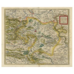
- Antique Map of the Region of Mansfeld, Saxony-Anhalt, GermanyBy Abraham OrteliusLocated in Langweer, NLAntique map titled 'Mansfeldiae Comitatus Descriptio'. Original antique map of the region of Mansfeld, Saxony-Anhalt, Germany. Shows the area between Halle a. d. Saale, Aschersleben,...Category
Antique Early 17th Century Maps
MaterialsPaper
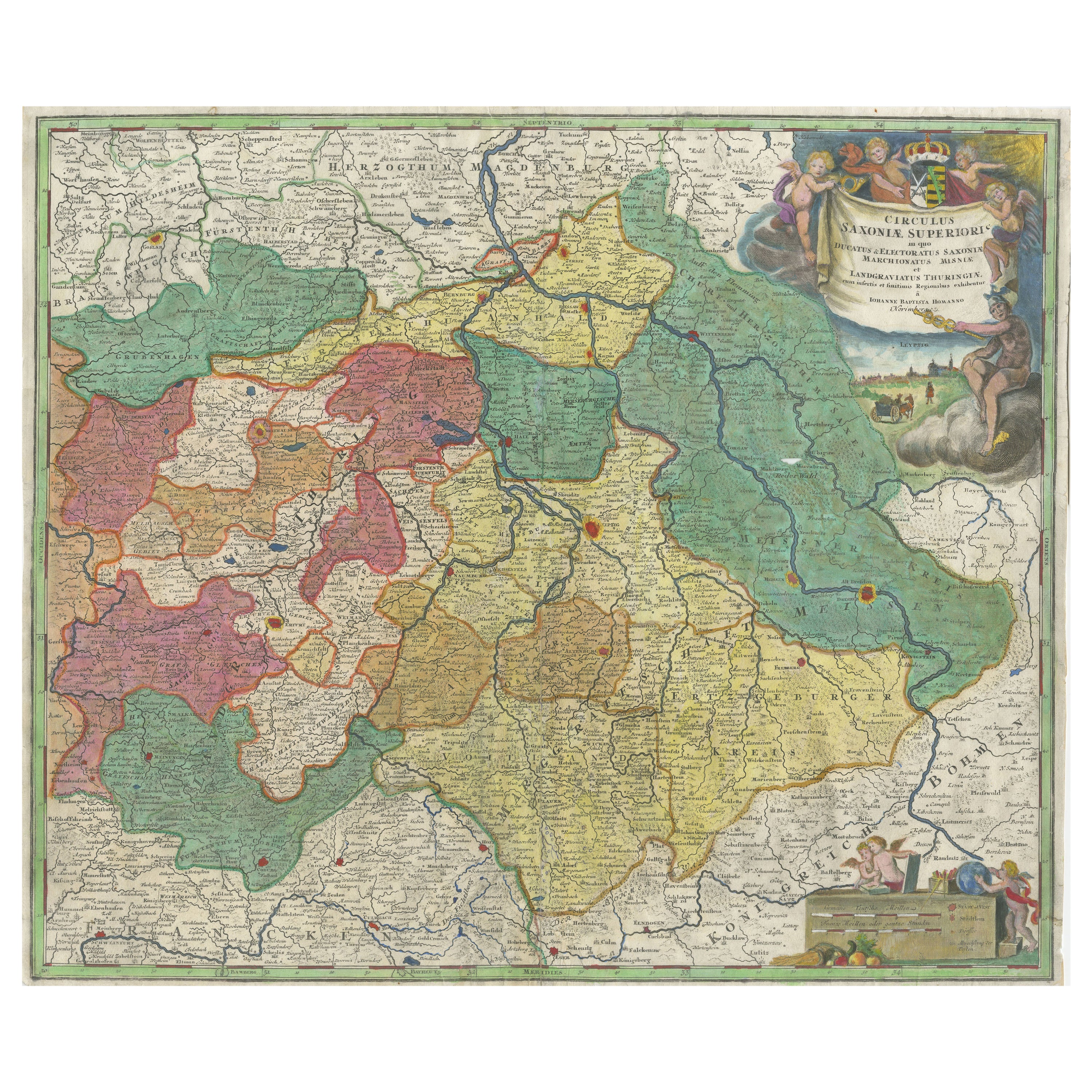
- Antique Map of Saxony, GermanyLocated in Langweer, NLOriginal antique map titled 'Circulus Saxoniae Superioris'. Original antique map of Saxony, Germany. The cities of Leipzig, Freiburg and many others are highlighted in gold. This map originates from 'Atlas Novus Terrarum Orbis...Category
Antique Early 18th Century Maps
MaterialsPaper
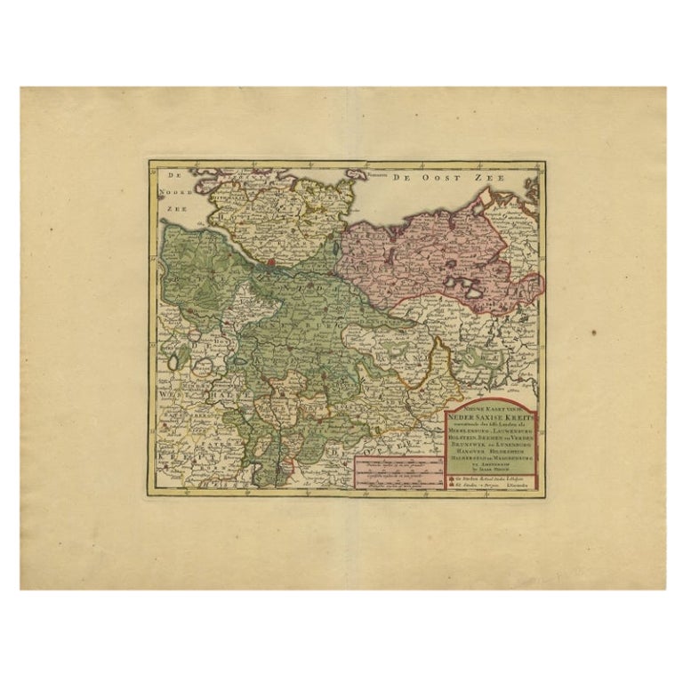
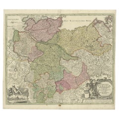
- Antique Map of Lower Saxony in Germany, c.1740Located in Langweer, NLAntique map titled 'Nieuwe Kaart van de Neder Saxise Kreits (..).' Attractive detailed map showing Lower Saxony, Germany, including Mekelenburg, Lauwenburg, Holstein, Bremen, Verden ...Category
Antique 18th Century Maps
MaterialsPaper
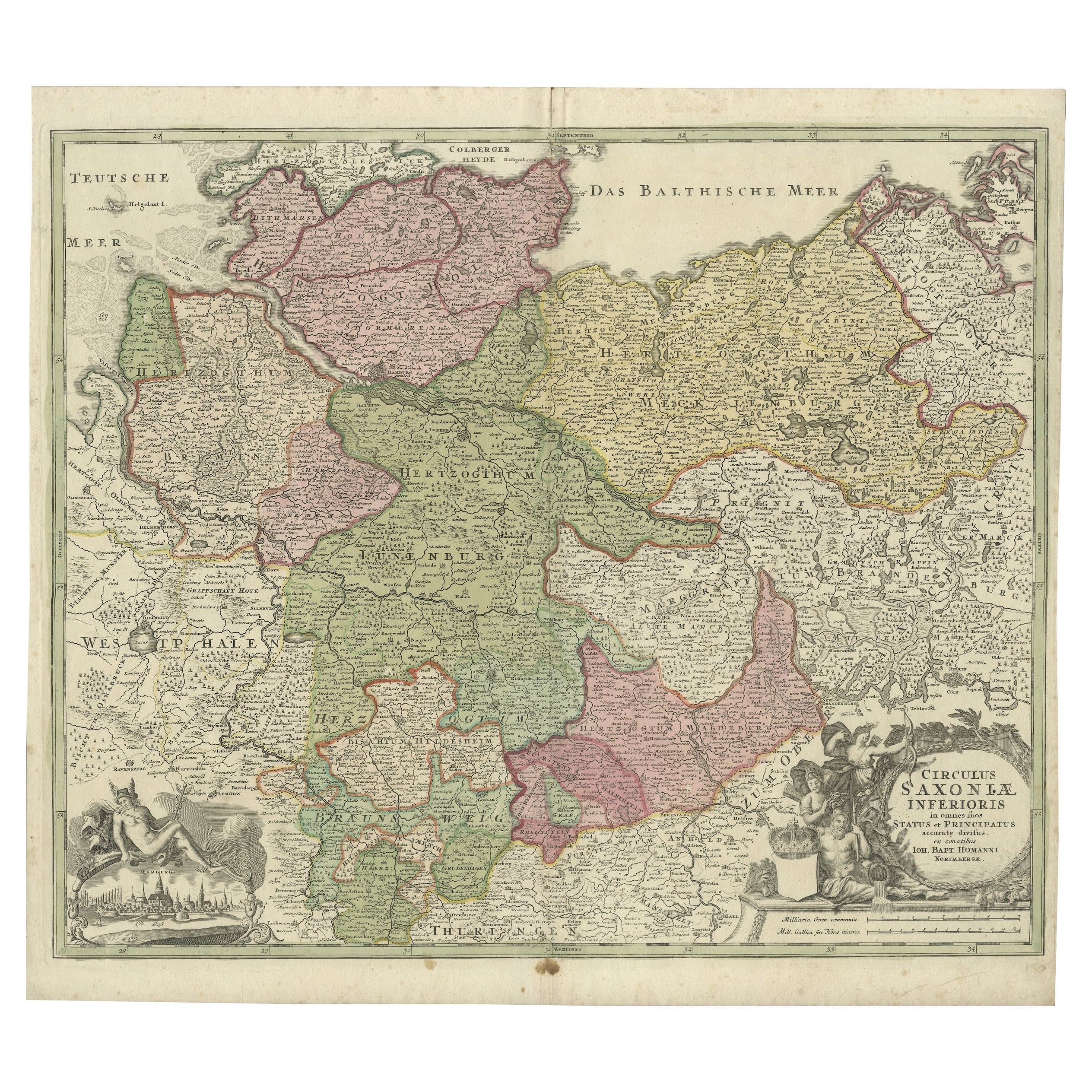
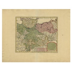
- Antique Engraved Map of Saxonia in Northern Germany, ca.1721-1750Located in Langweer, NLDuitsland, Sassonia; Johannes Baptist Homann - Circulus Saxoniae Inferioris in omnes suos Status et Principatus accurate divisus ex conatibus - A large map of Lower Saxony, exten...Category
Antique Mid-18th Century Maps
MaterialsPaper
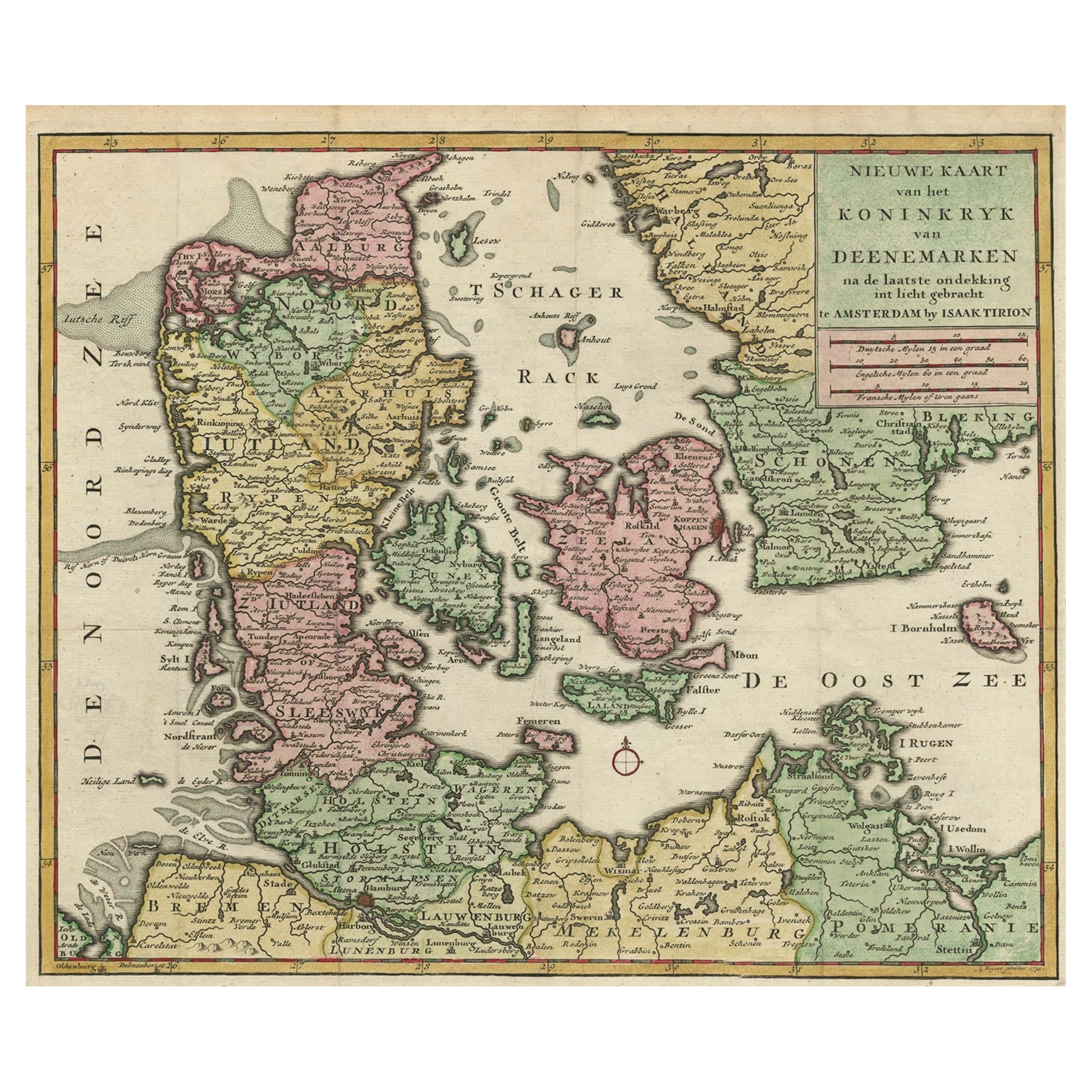
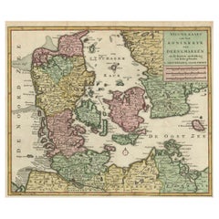
- Attractive Antique Map showing Denmark and part of Sweden and Germany c.1750By Isaak TirionLocated in Langweer, NLAntique map titled 'Nieuwe Kaart van het Koninkryk van Deenemarken (..).' Attractive detailed map showing Denmark and a part of Sweden and Germany. Title in block-style cartouche wit...Category
Antique 18th Century Maps
MaterialsPaper
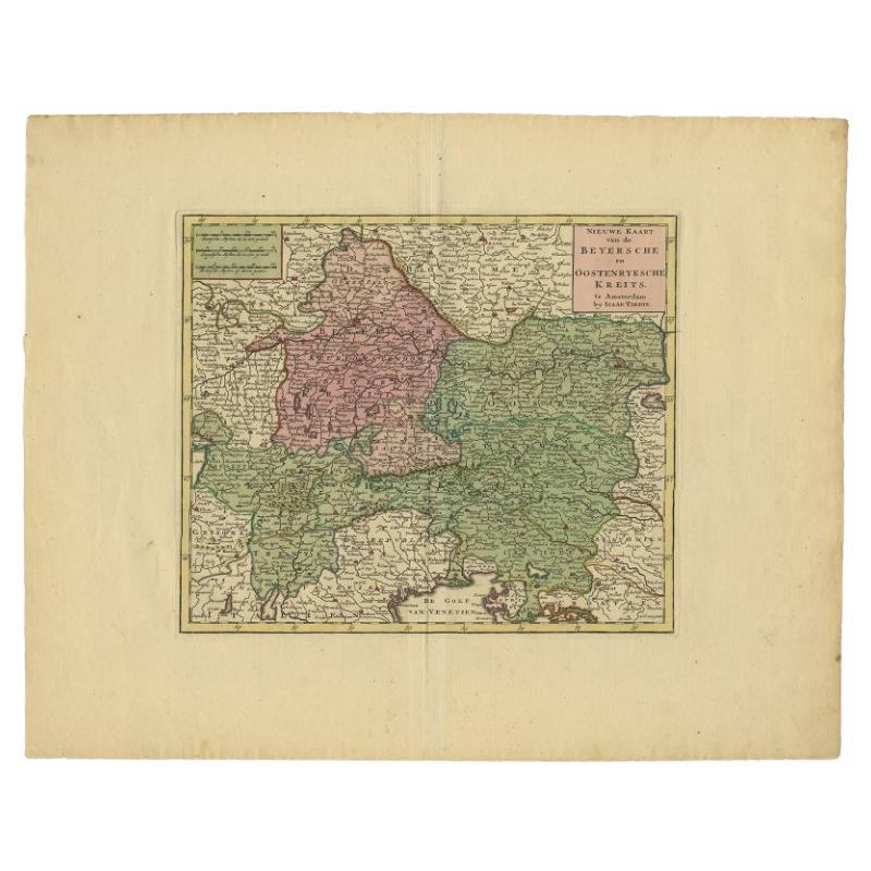
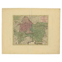
- Attractive Detailed Authentic Map Showing Bavaria, Germany and Austria, c.1740Located in Langweer, NLAntique map titled 'Nieuwe Kaart van de Beyersche en Oostenryksche Kreits (..).' Attractive detailed map showing Bavaria, Germany and Austria. Source unknown, to be determined. Ar...Category
Antique 18th Century Maps
MaterialsPaper
You May Also Like
- East German MapBy VEB Hermann HaackLocated in Baltimore, MDA brilliantly colourful map of the Leipzig, Karl Marx Stadt and Dresden area in the former German Democratic Republic by VEB Hermann Haack of Gotha.Category
Vintage 1970s German Maps
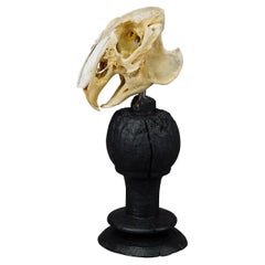
- Antique Real Skull of a Rabbit, Germany ca. 1900sLocated in Berghuelen, DEAntique Real Skull of a Rabbit, Germany ca. 1900s An antique taxidermied skull of the rabbit (Oryctolagus cuniculus) mounted on an ebonized wooden tur...Category
Antique Late 19th Century German Folk Art Natural Specimens
MaterialsBone, Wood
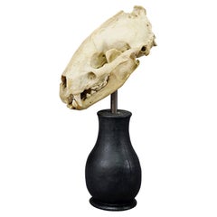
- Antique Real Skull of a Badger, Germany ca. 1900sLocated in Berghuelen, DEAntique Real Skull of a Badger, Germany ca. 1900s An antique taxidermied skull of the badger (Meles meles) mounted on an ebonized wooden turned base. ...Category
Antique Late 19th Century German Folk Art Natural Specimens
MaterialsBone, Wood
- Antique Real Skull of a Duck, Germany ca. 1900sLocated in Berghuelen, DEAntique Real Skull of a Duck, Germany ca. 1900s An antique taxidermied skull of the duck (Anas platyrhynchos domestica) mounted on an ebonized wooden ...Category
Antique Late 19th Century Swiss Folk Art Natural Specimens
MaterialsWood, Bone
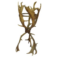
- Antique Cabin Decor Antler Basket, Germany ca. 1900Located in Berghuelen, DEA large rustic antler basket made of real fallow deer antlers mounted on a carved wooden centerpiece. The upper antlers are additionally connected by a ...Category
Early 20th Century German Rustic Taxidermy
MaterialsAntler, Wood
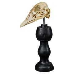
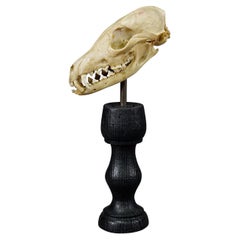
- Antique Red Fox Skull Taxidermy, Germany ca. 1900sLocated in Berghuelen, DEAntique Red Fox Skull Taxidermy, Germany ca. 1900s An antique taxidermied skull of the red fox (Vulpes vulpes) mounted on an ebonized wooden turned ba...Category
Antique Late 19th Century German Folk Art Natural Specimens
MaterialsBone, Wood

Recently Viewed
View AllMore Ways To Browse
Heir Antiques
School Maps
School Map
J Allen
Dutch School Antique
Large City Maps
Coat Of Arms German
Antique School Map
Antique School Maps
Large Antique City Maps
Map Berlin
Berlin Maps
Large Original Antique City Plan
Antique Map Of The United States
Antique Maps Of The United States
Antique African American
African American Antique
Antique Furniture East London