Antique Maps Of Maryland
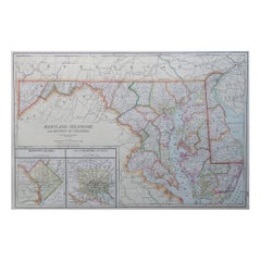
Large Original Antique Map of Maryland, Delaware & DC, USA, C.1900
Located in St Annes, Lancashire
Fabulous map of Maryland, Delaware And District of Columbia
Original color
Engraved and printed
Category
1890s American Antique Maps Of Maryland
Materials
Paper
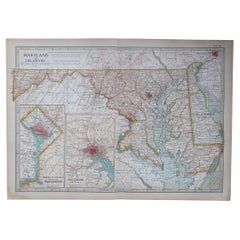
Original Antique Map of the American State of Maryland & Delaware, 1903
Located in St Annes, Lancashire
Antique map of Maryland And Delaware
Published By A & C Black. 1903
Original colour
Good
Category
Early 1900s English Antique Maps Of Maryland
Materials
Paper
$49
H 11.5 in W 16.25 in D 0.07 in
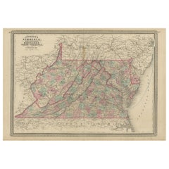
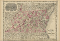
Antique Map of Virginia, Delaware, Maryland & West Virginia by Johnson, 1872
Located in Langweer, NL
Antique map titled 'Johnson's Viriginia (..). Original map of Virginia, Delaware, Maryland and West
Category
Late 19th Century Antique Maps Of Maryland
Materials
Paper
$238 Sale Price
20% Off
H 18.12 in W 26.38 in D 0.02 in
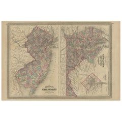
Antique Map of New Jersey, Delaware and Maryland by Johnson, 1872
Located in Langweer, NL
and Maryland. With inset map of the district of Columbia. This map originates from 'Johnson's New
Category
Late 19th Century Antique Maps Of Maryland
Materials
Paper
$286 Sale Price
20% Off
H 18.12 in W 26.38 in D 0.02 in
1864 Johnson's Map of Virginia, Delaware, and Maryland with Fort Monroe Inset
Located in Langweer, NL
Title: 1864 Johnson's Map of Virginia, Delaware, and Maryland with Fort Monroe Inset
Description
Category
1860s Antique Maps Of Maryland
Materials
Paper
$286 Sale Price
20% Off
H 18 in W 26.38 in D 0.01 in
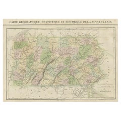
French Geographical, Statistical and Historical Map of Pensylvania, 1825
Located in Langweer, NL
Maryland, Delaware, New York and New jersey. Printed on the same page as the map is geographical
Category
1820s Antique Maps Of Maryland
Materials
Paper
$457 Sale Price
20% Off
H 20.08 in W 25.99 in D 0 in
Recent Sales
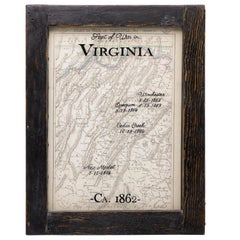
Antique Civil War Map of Virginia, "Seat of War in Virginia Sheet 2" 1862
Located in Colorado Springs, CO
Virginia between the Maryland border to just south of Harrisonburg and Fairfax. A British published map
Category
1860s British Antique Maps Of Maryland
Materials
Paper
H 23 in W 17.88 in D 1.25 in
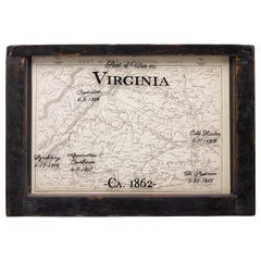
Antique Civil War Map of Virginia, "Seat of War in Virginia Sheet 3" 1862
Located in Colorado Springs, CO
three maps of the Virginia and Maryland area. The series was produced in response to the British demand
Category
1860s British Antique Maps Of Maryland
Materials
Paper
H 16.38 in W 23.75 in D 1.75 in
William Winterbotham's View of the American United States, First Editions, 1795
Located in Colorado Springs, CO
and Maryland.
G. Map of the State of Kentucky.
H. Plan of Lystra in Nelson County, Kentucky.
I. Plan
Category
1790s British Antique Maps Of Maryland
Materials
Paper
H 9.13 in W 5.88 in D 7.5 in
Original Antique Map of Maryland & Delaware, circa 1890
Located in St Annes, Lancashire
Great map of Maryland & Delaware
Original color.
Published, circa 1890
A couple of minor
Category
1890s English Other Antique Maps Of Maryland
Materials
Paper
Large Original Antique Map of Maryland, USA, 1894
By Rand McNally & Co.
Located in St Annes, Lancashire
Fabulous map of Maryland, D.C and Delaware
Original color
By Rand, McNally & Co.
Published
Category
1890s American Antique Maps Of Maryland
Materials
Paper
Original Antique Map of Maryland & Delaware by Rand McNally, circa 1900
By Rand McNally & Co.
Located in St Annes, Lancashire
Fabulous monochrome map with red outline color
Original color
By Rand, McNally & Co
Category
Early 1900s American Edwardian Antique Maps Of Maryland
Materials
Paper
Original Antique Map of The American State of Maryland, 1889
Located in St Annes, Lancashire
Great map of Maryland
Drawn and Engraved by W. & A.K. Johnston
Published By A & C Black
Category
1880s Scottish Victorian Antique Maps Of Maryland
Materials
Paper
1893 Antique Map Showing the Location of the Natural Oyster Grounds of Maryland
Located in Colorado Springs, CO
This map is an 1893 map of Maryland, a chart focused on the oyster fishing beds of the Chesapeake
Category
1890s American Antique Maps Of Maryland
Materials
Paper
H 46.5 in W 32.75 in D 1.5 in
1829 Map of Virginia and Maryland by Anthony Finley
Located in Colorado Springs, CO
Maryland and Virginia from 1829. Originally drawn by D.H. Vance and engraved by J.H. Young, this map was
Category
1820s American Antique Maps Of Maryland
Materials
Paper
Old French Map with Details of New England, Lake Erie, Virginia, Maryland, 1780
Located in Langweer, NL
Description: Antique map titled 'Carte De La Partie Nord, Des Etats Unis, de l' Amerique
Category
1780s Antique Maps Of Maryland
Materials
Paper
H 10.24 in W 14.97 in D 0 in
1895 Map of Delaware and Maryland
By John Anderson
Located in New York, NY
This detailed map of Maryland and Delaware shows rail lines, rivers, mountains, counties and
Category
1890s Realist Antique Maps Of Maryland
Materials
Lithograph
18th-C. Map of Maryland & Delaware
By Thomas Kitchin
Located in New York, NY
Beautifully hand-colored engraved map of Maryland with the Delaware Counties and the Southern Part
Category
1750s Realist Antique Maps Of Maryland
Materials
Engraving
1757 Map of Maryland, Delaware Counties and the Southern part of New Jersey
By Thomas Kitchin
Located in New York, NY
Original 1757 map depicting Maryland, Delaware Counties and the southern part of New Jersey. The
Category
1750s Realist Antique Maps Of Maryland
Materials
Engraving
1895 Map of Delaware and Maryland
By John Anderson
Located in New York, NY
This detailed map of Maryland and Delaware shows rail lines, rivers, mountains, counties and
Category
1890s Realist Antique Maps Of Maryland
Materials
Lithograph
1799 Map of "The States of Delaware and Maryland"
By John Anderson
Located in New York, NY
Rare, hand colored, 1799 John Payne map "The States of Maryland and Delaware, from the Latest
Category
1790s Realist Antique Maps Of Maryland
Materials
Engraving
Get Updated with New Arrivals
Save "Antique Maps Of Maryland", and we’ll notify you when there are new listings in this category.
Antique Maps Of Maryland For Sale on 1stDibs
With a vast inventory of beautiful furniture at 1stDibs, we’ve got just the antique maps of maryland you’re looking for. An antique maps of maryland — often made from paper — can elevate any home. Whether you’re looking for an older or newer antique maps of maryland, there are earlier versions available from the 18th Century and newer variations made as recently as the 20th Century. When you’re browsing for the right antique maps of maryland, those designed in Victorian styles are of considerable interest. Many designers have produced at least one well-made antique maps of maryland over the years, but those crafted by Rand McNally & Co. are often thought to be among the most beautiful.
How Much is a Antique Maps Of Maryland?
The average selling price for an antique maps of maryland at 1stDibs is $545, while they’re typically $25 on the low end and $5,500 for the highest priced.
More Ways To Browse
Iroquois Native American
French Chimney Cap
Antique Surveying Compass
Cow Bells Antique Metal
Antique Japanese Wedding Box
Antique Lemon Press
Antique Wooden Lunch Box
L N Fowler
Pushkin Antiques
Iron Arbor
Antique Exam Table
Antique Cast Iron Bed Parts
Federalist Paper
Flying Pendulum Clock
Granddaughter Clocks Antique Clocks
Pennsylvania Tall Case Clock
Tiger Maple Clock
Giorgio Collection Ebony Macassar
