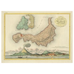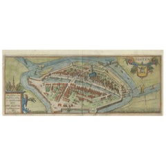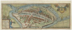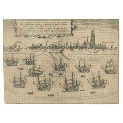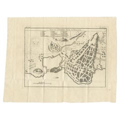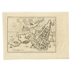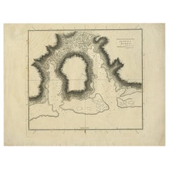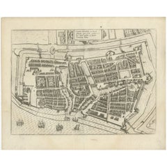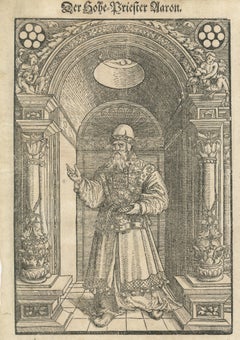
Rare 16th Century Biblical Woodcut of Aaron the High Priest, c.1560–1580
Located in Langweer, NL
Title: Rare 16th Century Biblical Woodcut of Aaron the High Priest, c.1560–1580 Description: A striking and historically important 16th-century German Renaissance woodcut depicting ...
Category
16th Century German Rare Antique Maps
Materials
Paper