Items Similar to L'Amérique du Nord pittoresque by Quantin & Decaux, 1880
Want more images or videos?
Request additional images or videos from the seller
1 of 7
L'Amérique du Nord pittoresque by Quantin & Decaux, 1880
About the Item
L'Amérique du Nord pittoresque by Quantin & Decaux. A 19th century exploration of the landscape of the United States and Canada, with numerous full page black and white illustrations. It is beautifully bound in red leather with gilt edged pages. 779p., 1 lithogr. fold. map, num. (full-p.) engr. ills., orig. gilt and dec. hmor., a.e.g., folio.
- Dimensions:Height: 13.78 in (35 cm)Width: 11.03 in (28 cm)Depth: 2.17 in (5.5 cm)
- Materials and Techniques:
- Period:
- Date of Manufacture:1880
- Condition:Sl. foxed; small tear in map; lower hinge sl. weak. Corners showing. Please study images carefully.
- Seller Location:Langweer, NL
- Reference Number:Seller: BG-12354-21stDibs: LU3054321333902
About the Seller
5.0
Recognized Seller
These prestigious sellers are industry leaders and represent the highest echelon for item quality and design.
Gold Seller
Premium sellers maintaining a 4.3+ rating and 24-hour response times
Established in 2009
1stDibs seller since 2017
2,446 sales on 1stDibs
Typical response time: 1 hour
- ShippingRetrieving quote...Shipping from: Langweer, Netherlands
- Return Policy
Authenticity Guarantee
In the unlikely event there’s an issue with an item’s authenticity, contact us within 1 year for a full refund. DetailsMoney-Back Guarantee
If your item is not as described, is damaged in transit, or does not arrive, contact us within 7 days for a full refund. Details24-Hour Cancellation
You have a 24-hour grace period in which to reconsider your purchase, with no questions asked.Vetted Professional Sellers
Our world-class sellers must adhere to strict standards for service and quality, maintaining the integrity of our listings.Price-Match Guarantee
If you find that a seller listed the same item for a lower price elsewhere, we’ll match it.Trusted Global Delivery
Our best-in-class carrier network provides specialized shipping options worldwide, including custom delivery.More From This Seller
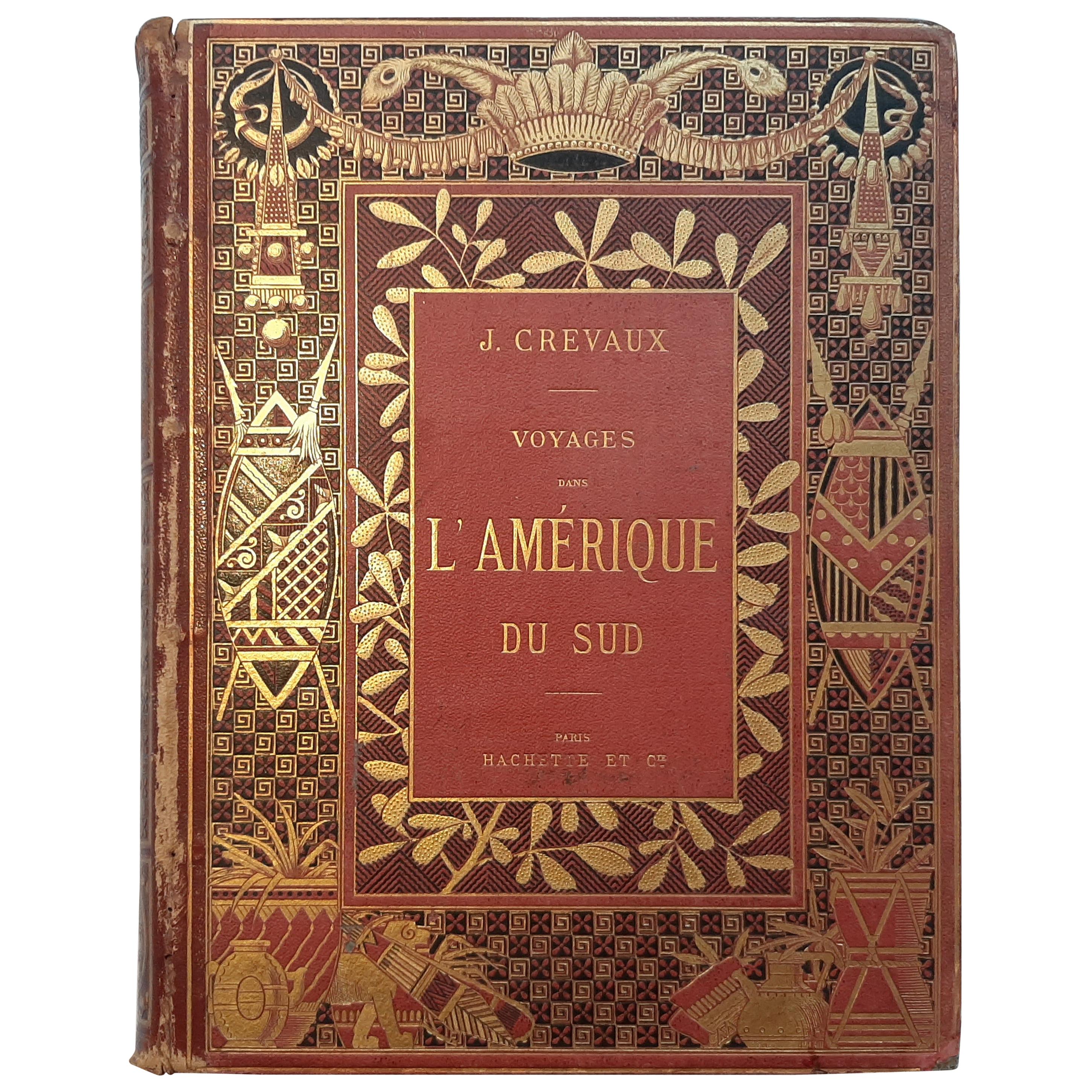
View AllVoyages dans l'Amérique du Sud by J. Crevaux '1883'
Located in Langweer, NL
Voyages dans l'Amérique du Sud by J. Creavaux. Jules Crevaux was a French doctor, soldier, and explorer. He is known for his multiple explorations into the interior of French Guiana ...
Category
Antique Late 19th Century Books
Materials
Paper
$559 Sale Price
20% Off
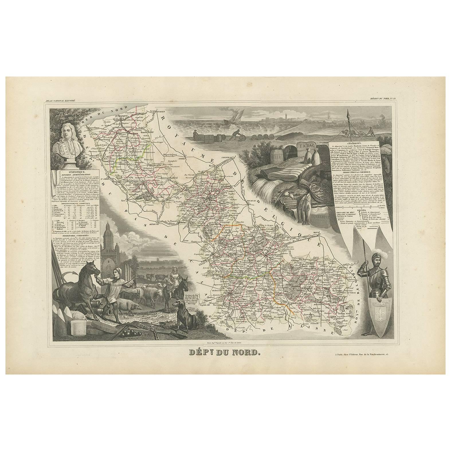
Antique Map of Du Nord ‘France’ by V. Levasseur, 1854
Located in Langweer, NL
Antique map titled 'Dépt. du Nord'. Map of the French department of Nord, France. This area is known for its production of Maroilles, a cow's milk cheese. This cheese is produced in ...
Category
Antique Mid-19th Century Maps
Materials
Paper
$186 Sale Price
20% Off
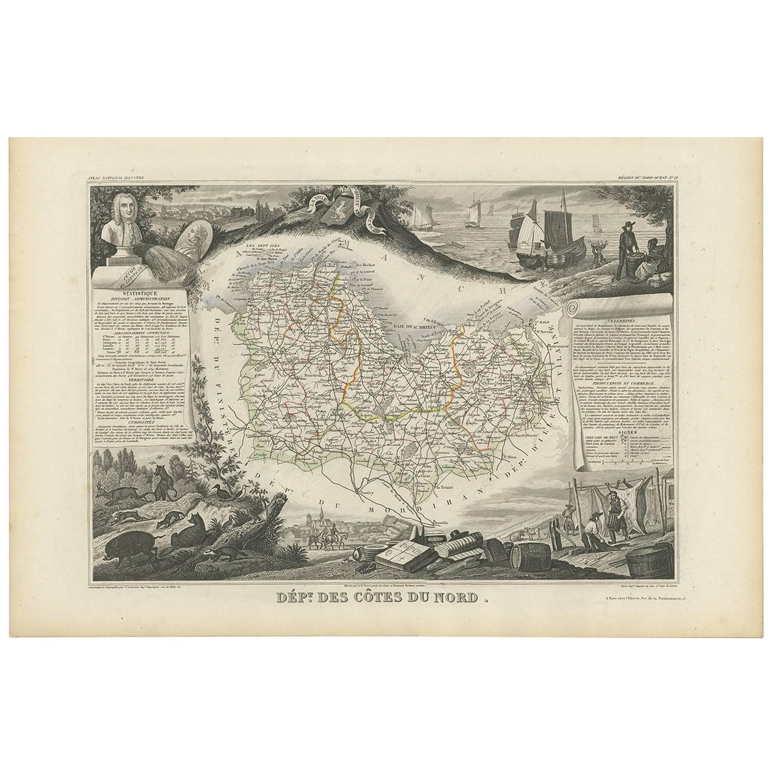
Antique Map of Côtes du Nord ‘France’ by V. Levasseur, 1854
By Victor Levasseur
Located in Langweer, NL
Antique map titled 'Dépt. des Côtes du Nord'. Map of the French department of Cotes du Nord, a maritime region in Brittany, France. The whole is surrounded by elaborate decorative en...
Category
Antique Mid-19th Century Maps
Materials
Paper
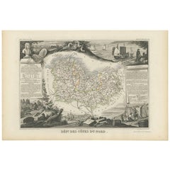
$186 Sale Price
20% Off
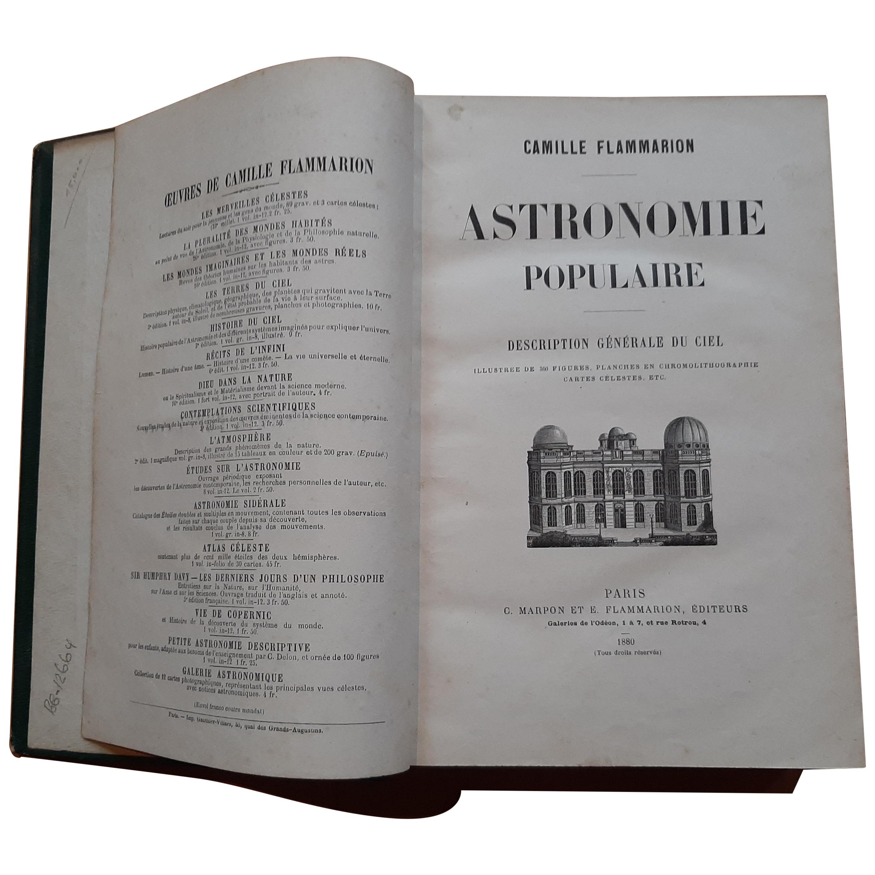
Astronomie Populaire, Description Générale Du Ciel by Camille Flammarion, '1880'
Located in Langweer, NL
'Astronomie populaire, description générale du ciel' by Camille Flammarion. Published in Paris, 1880. First edition of this pleasant work of scienti...
Category
Antique Late 19th Century Books
Materials
Paper
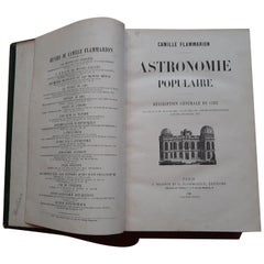
$745 Sale Price
20% Off
Free Shipping
Antique Map of Guadeloupe and Dependencies – France Pittoresque, c. 19th Century
Located in Langweer, NL
Antique Map of Guadeloupe and Dependencies – France Pittoresque, c. 19th Century
This finely engraved antique map of Guadeloupe and its dependencies originates from France Pittore...
Category
Antique 1830s Maps
Materials
Paper
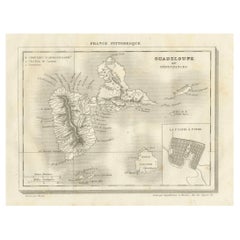
Guadeloupe and Dependencies: Mid-19th Century Map from France Pittoresque Series
Located in Langweer, NL
This map titled "Guadeloupe et Dépendances" is part of the France Pittoresque series and provides a detailed view of the island of Guadeloupe and its surrounding dependencies.
Features:
- The map shows the two main landmasses of Guadeloupe: Basse-Terre and Grande-Terre, separated by a narrow channel.
- Several smaller islands, including Marie-Galante, Les Saintes, and La Désirade, are also depicted.
- The main cities, towns, and geographical features are labeled, with emphasis on the island's mountain ranges and rivers, particularly on Basse-Terre.
- An inset at the bottom right provides a detailed plan of Pointe-à-Pitre, a major city and port on the island. The grid layout of the streets is clearly shown, reflecting urban planning of the time.
Artistic and Cartographic Details:
- The map uses clear linework to differentiate between the different islands and the sea, with significant natural features such as mountains and rivers carefully depicted.
- The map was drawn by Monin and engraved by Jacqueline and Barrière, whose names appear in the lower right corner.
- The scale in the lower left corner is measured in leagues, showing distances both by land and sea.
Historical Context:
- This map likely dates to the mid-19th century, a period when Guadeloupe was a key French colony in the Caribbean. Guadeloupe was known for its sugar and coffee plantations, which played a significant role in France's colonial economy.
- Maps like this were often used for administrative, military, and educational purposes to give a comprehensive view of France's overseas territories.
The map of Guadeloupe et Dépendances from the France Pittoresque series likely dates to the mid-19th century, around 1840 to 1860. This period corresponds to the height of French colonial influence in Guadeloupe, and the map's style, detailed urban planning, and cartographic techniques are consistent with maps produced in that era.
The specific publication date could be further narrowed down if the map was part of a known edition of the France Pittoresque atlas, but based on the cartographic style and historical context, 1840–1860 is a reasonable estimate.
Here are some relevant keywords people might use when searching for a map of Guadeloupe and its surrounding areas:
1. Guadeloupe map
2. Basse-Terre and Grande-Terre map
3. French Caribbean islands map...
Category
Antique 1850s Maps
Materials
Paper
$111 Sale Price
20% Off
You May Also Like
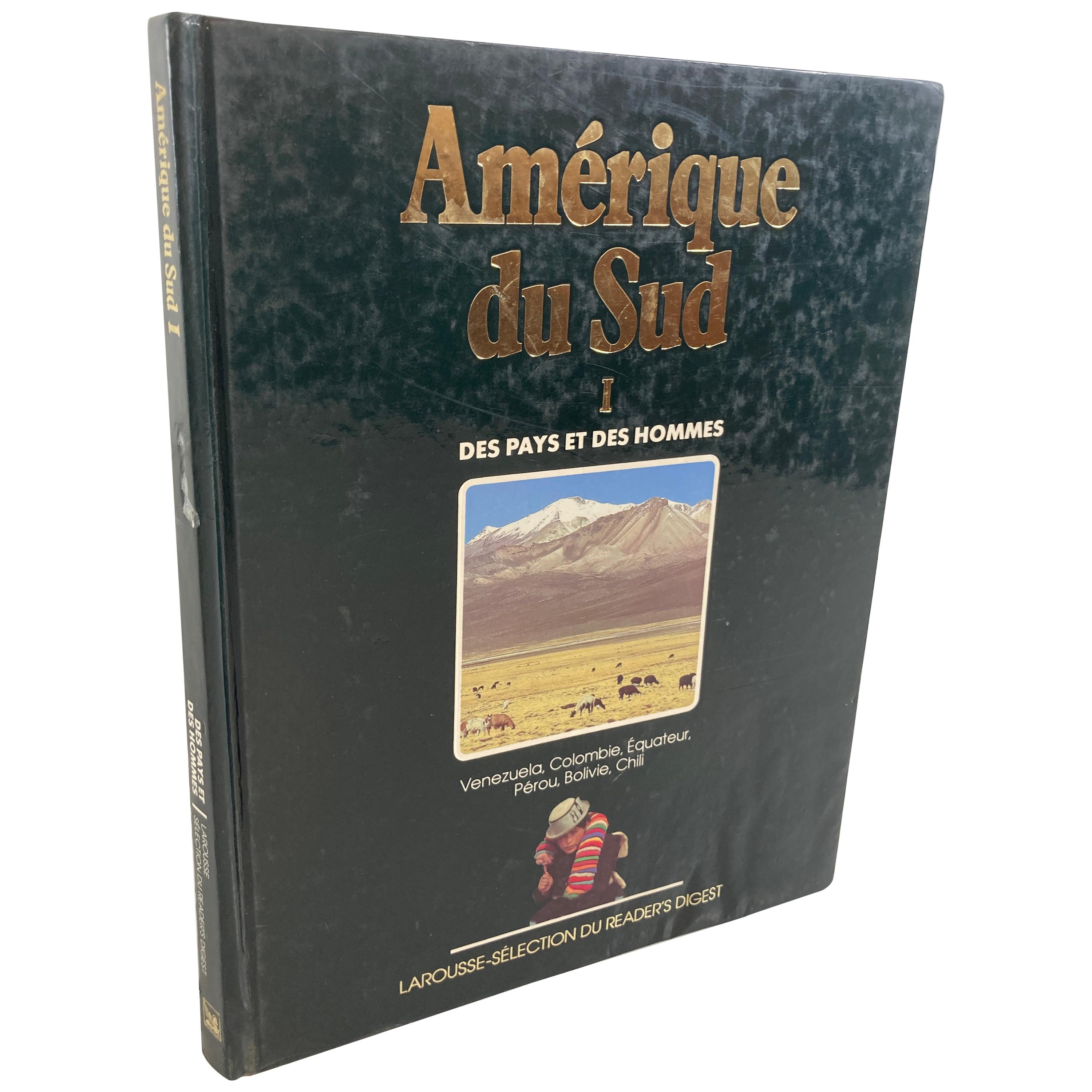
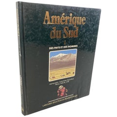
"Amérique du Sud Des Pays et des Hommes", South America Hardcover Book
Located in North Hollywood, CA
”Amérique du Sud Des Pays et des hommes” book.
South America - Countries and People - tome 1
Amérique du Sud tome 1: Vénézuela, Colombie, Equateur, Pérou, Bolivie, Chilie
Des pays...
Category
Vintage 1980s Guatemalan Folk Art Books
Materials
Paper
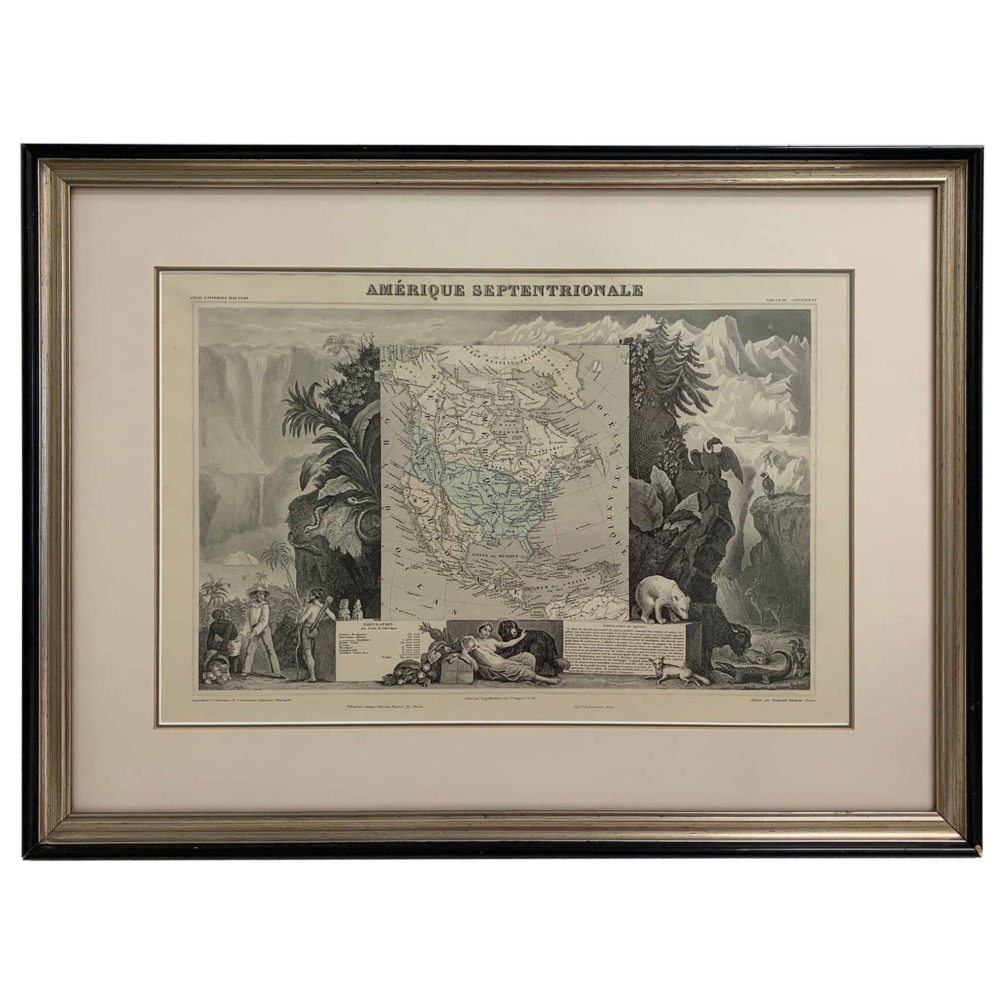
1847 Amerique Septentrionale Framed Map
Located in Stamford, CT
1847 Amerique Septentrionale Framed Map Illustrated by Raimond Bonheur. As found framed condition.
Category
Antique 1840s American American Classical Maps
Materials
Glass, Wood, Paper
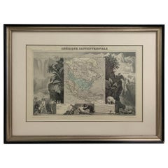
America "Amérique Septentrionale": A 19th Century French Map by Delamarche
By Maison Delamarche 1
Located in Alamo, CA
This framed mid 19th century map of North America entitled "Amérique Septentrionale" by Felix Delamarche was published in Paris in 1854 by Quay de l'Horloge du Palais, avec les Carte...
Category
Antique Mid-19th Century American Other Maps
Materials
Paper

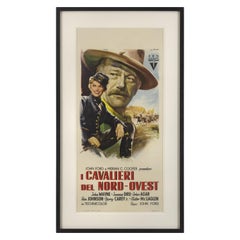
She Wore a Yellow Ribbon / I Cavalieri di Nord Ovest
Located in London, GB
Original Italian film poster for the film She Wore a Yellow Ribbon 1949.
This western was directed by John Ford, and stars John Wayne, Joanne Dru and Jo...
Category
Vintage 1950s Italian Posters
Materials
Paper
$1,654 Sale Price
20% Off
Au Souffle du Kasmin by Jeanne H. Chabal - illustrated poems
Located in Middletown, NY
This elegantly-printed and bound small volume is enhanced by an affectionate inscription by the author to her friend Mathilde Koehn, and a holograph poem of 4 stanzas, initialed and ...
Category
Early 20th Century French Books
Materials
Leather, Paper
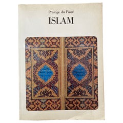
ISLAM Prestige du Passe by Miriam Meier Published by J. LAZARUS, 1987
Located in North Hollywood, CA
ISLAM Prestige du Passe by Miriam Meier Published by J. LAZARUS, 1987.
Softcover, French language.
Title: ISLAM
Publisher: J. LAZARUS
Publication Date: 1987
Category
Late 20th Century Islamic Books
Materials
Paper
Recently Viewed
View AllMore Ways To Browse
Antique Maps Of Canada
Frederick Law Olmsted
George W Russell
Gucci Coffee Table Book
Handwritten Lyrics
Hip Hop Pendant
Josephus Flavius
Kazuyo Sejima
Marcus Aurelius Meditations
Mary Hadley
Merriweather Post
Morris T J Cobden Sanderson
Olson Kundig
Pirelli Calendar
Sherlock Holmes Books
Shiro Kuramata Book
Slim Aarons Book
Speer Collectibles