Items Similar to Old Antique Colourful Decorative Map of Northern Italy, 1846

Want more images or videos?
Request additional images or videos from the seller
1 of 5
Old Antique Colourful Decorative Map of Northern Italy, 1846
About the Item
Description: Antique map titled 'Italy North Part'.
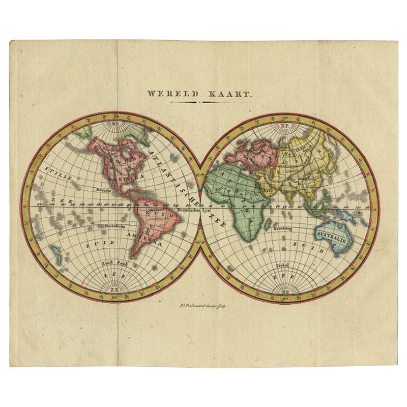
Old map of Northern Italy. This map originates from 'A New Universal Atlas Containing Maps of the various Empires, Kingdoms, States and Republics Of The World (..) by S.A. Mitchell.
Artists and Engravers: Samuel Augustus Mitchell was an American geographer. Mitchell worked as a teacher before turning to publishing geography textbooks and maps. He became involved in geography after teaching and realizing that there were so many poor quality geographical resources available to teachers. He was in Philadelphia when he founded his company. His son, S. Augustus Mitchell, became owner in 1860. Their publications covered all genres of geography: maps, travel guides, textbooks, and more.
Condition: Good, original/contemporary hand coloring. Age-related toning and some wear, mainly in margins. Blank verso, please study image carefully.
- Dimensions:Height: 17.13 in (43.5 cm)Width: 13.78 in (35 cm)Depth: 0 in (0.02 mm)
- Materials and Techniques:
- Period:
- Date of Manufacture:1846
- Condition:
- Seller Location:Langweer, NL
- Reference Number:
About the Seller
5.0
Platinum Seller
These expertly vetted sellers are 1stDibs' most experienced sellers and are rated highest by our customers.
Established in 2009
1stDibs seller since 2017
1,947 sales on 1stDibs
Typical response time: <1 hour
- ShippingRetrieving quote...Ships From: Langweer, Netherlands
- Return PolicyA return for this item may be initiated within 14 days of delivery.
More From This SellerView All
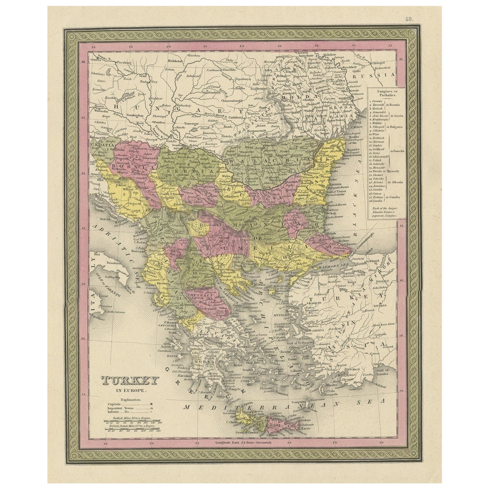
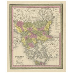
- Old Colourful Decorative Map of Turkey in Europe, 1846Located in Langweer, NLAntique map titled 'Turkey in Europe'. Old map of Turkey in Europe. This map originates from 'A New Universal Atlas Containing Maps of the various Em...Category
Antique 1840s Maps
MaterialsPaper
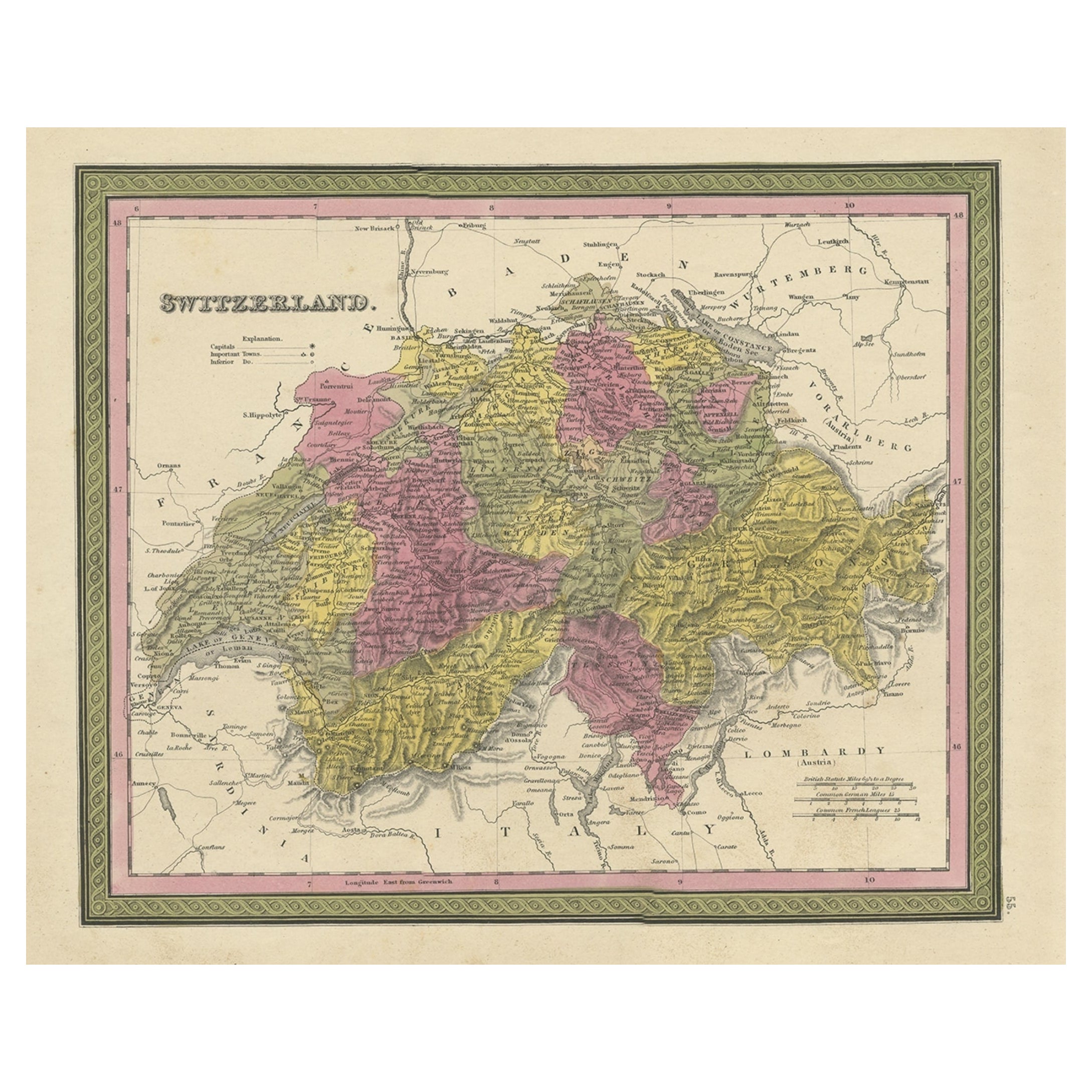
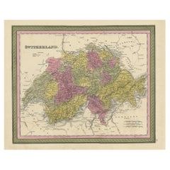
- Colourful Antique Map of Switzerland, 1846Located in Langweer, NLAntique map titled 'Switzerland'. Old map of Switzerland. This map originates from 'A New Universal Atlas Containing Maps of the various Empires...Category
Antique 1840s Maps
MaterialsPaper
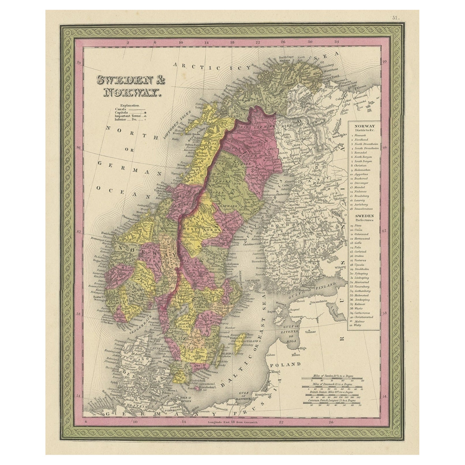
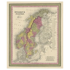
- Old Colourful Map of Sweden and Norway, 1846Located in Langweer, NLAntique map titled 'Sweden & Norway'. Old map of Sweden and Norway. This map originates from 'A New Universal Atlas Containing Maps of the various Em...Category
Antique 1840s Maps
MaterialsPaper
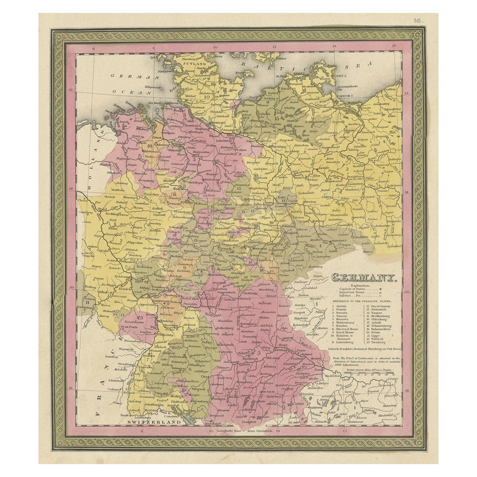
- Decorative Antique Map of Germany, 1846Located in Langweer, NLAntique map titled 'Germany'. Old map of Germany. This map originates from 'A New Universal Atlas Containing Maps of the various Empires, Kingdoms, ...Category
Antique 1840s Maps
MaterialsPaper
- Antique Map of Old European Russia, 1846Located in Langweer, NLAntique map titled 'Russia in Europe'. Old map of European Russia. This map originates from 'A New Universal Atlas Containing Maps of the various Em...Category
Antique 19th Century Maps
MaterialsPaper
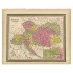
- Colourful Old Map of the Austrian Empire, with an Inset Map of Vienna, 1846Located in Langweer, NLAntique map titled 'Austrian Empire'. Old map of the Austrian Empire, with an inset map of Vienna. This map originates from 'A New Universal Atlas Co...Category
Antique 1840s Maps
MaterialsPaper


You May Also Like
- Original Antique Decorative Map of Japan, Fullarton, C.1870Located in St Annes, LancashireGreat map of Japan Wonderful figural border From the celebrated Royal Illustrated Atlas Lithograph. Original color. Published by Fullarton, Edinburgh, C.1870 Unframed...Category
Antique 1870s Scottish Maps
MaterialsPaper
- Original Antique Decorative Map of Iceland & Faroe, Fullarton, C.1870Located in St Annes, LancashireGreat map of Iceland and The Faroe Islands Wonderful figural border From the celebrated Royal Illustrated Atlas Lithograph. Original color. Published by Fullarton, Edinb...Category
Antique 1870s Scottish Maps
MaterialsPaper
- Original Antique Map of Indonesia, 1861Located in St Annes, LancashireGreat map of Indonesia Drawn and engraved by Edward Weller Original color Published in The Weekly Dispatch Atlas, 1861 Repairs to minor e...Category
Antique 1860s English Victorian Maps
MaterialsPaper

- Original Antique Map of Cyprus. Circa 1880Located in St Annes, LancashireGreat map of Cyprus Drawn and Engraved by R.Walker Published W.Mackenzie, London Original colour Unframed.Category
Antique 1880s English Maps
MaterialsPaper
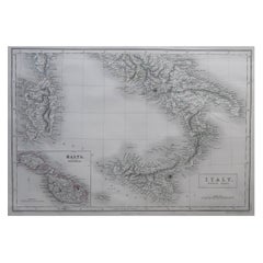
- Large Original Antique Map of South Italy and Malta by Sidney Hall, 1847Located in St Annes, LancashireGreat map of South Italy and Malta Drawn by Sidney Hall Steel engraving by G.Aikman Original color outline Published by A & C Black. 1847 Un...Category
Antique 1840s Scottish Maps
MaterialsPaper
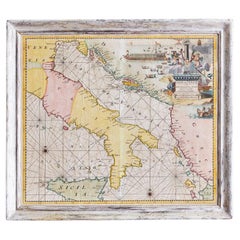
- Antique Hand-Coloured Map of Venice with Vintage Frame, Italy, Late 18th CenturyLocated in Copenhagen K, DKItaly, late 18th Century Antique hand-coloured map of Venice. Measures: H 52 x W 59 cm.Category
Antique Late 18th Century Italian Decorative Art
MaterialsOther


Recently Viewed
View AllMore Ways To Browse
Italian Old World
Antique Old World
Colourful Furniture
Antique Old World Furniture
Map North America
Map Of North America
Antique Italian Map
Antique Italy Map
Italy Antique Map
Italy Map Antique
Antique Maps Italy
Antique Map Italy
Antique Italian Maps
Antique Italy Maps
Antique Map Of Italy
Map Of Italy Antique
Antique Maps Of Italy
1860s Italian