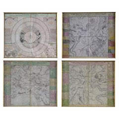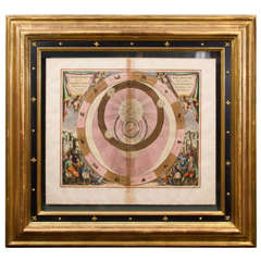
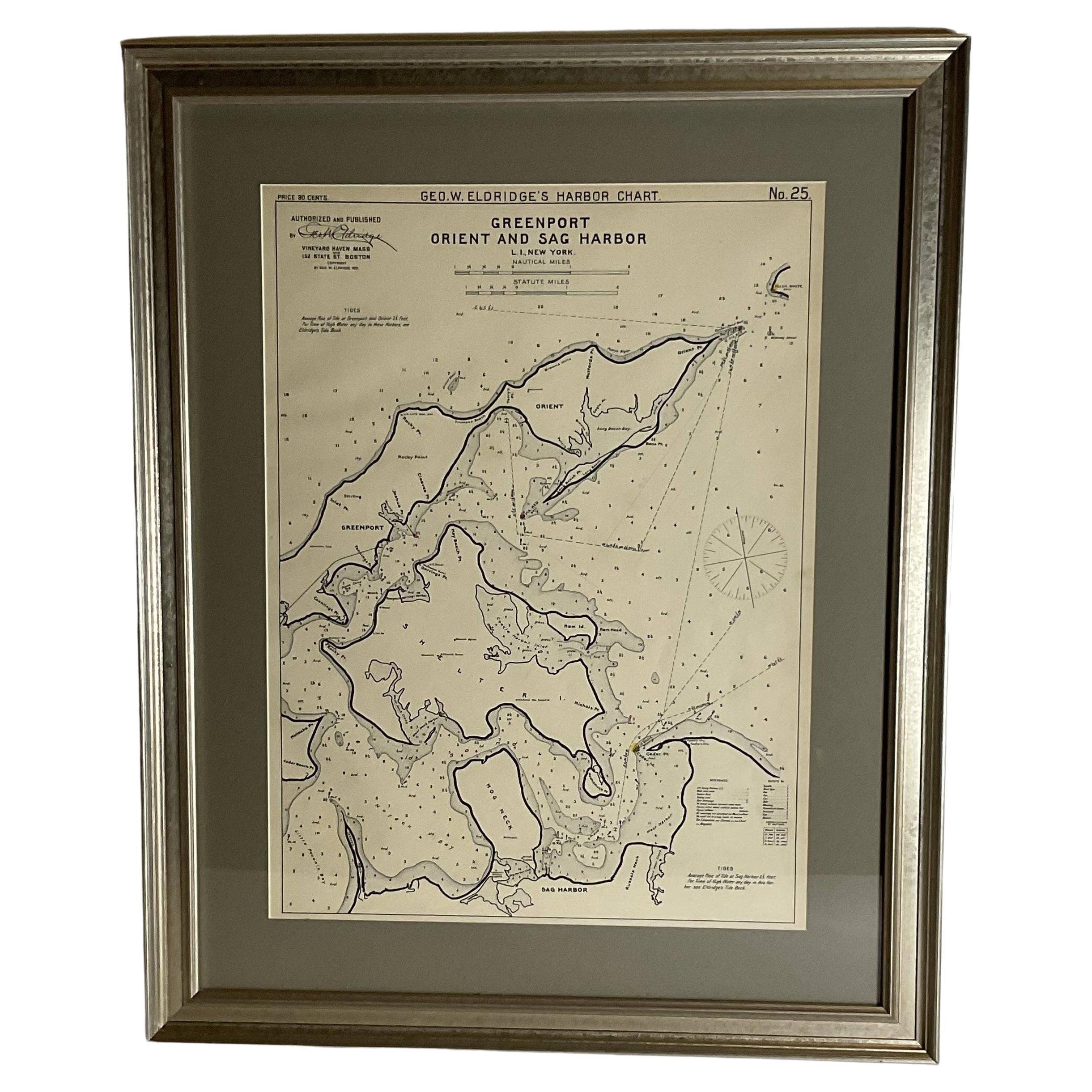
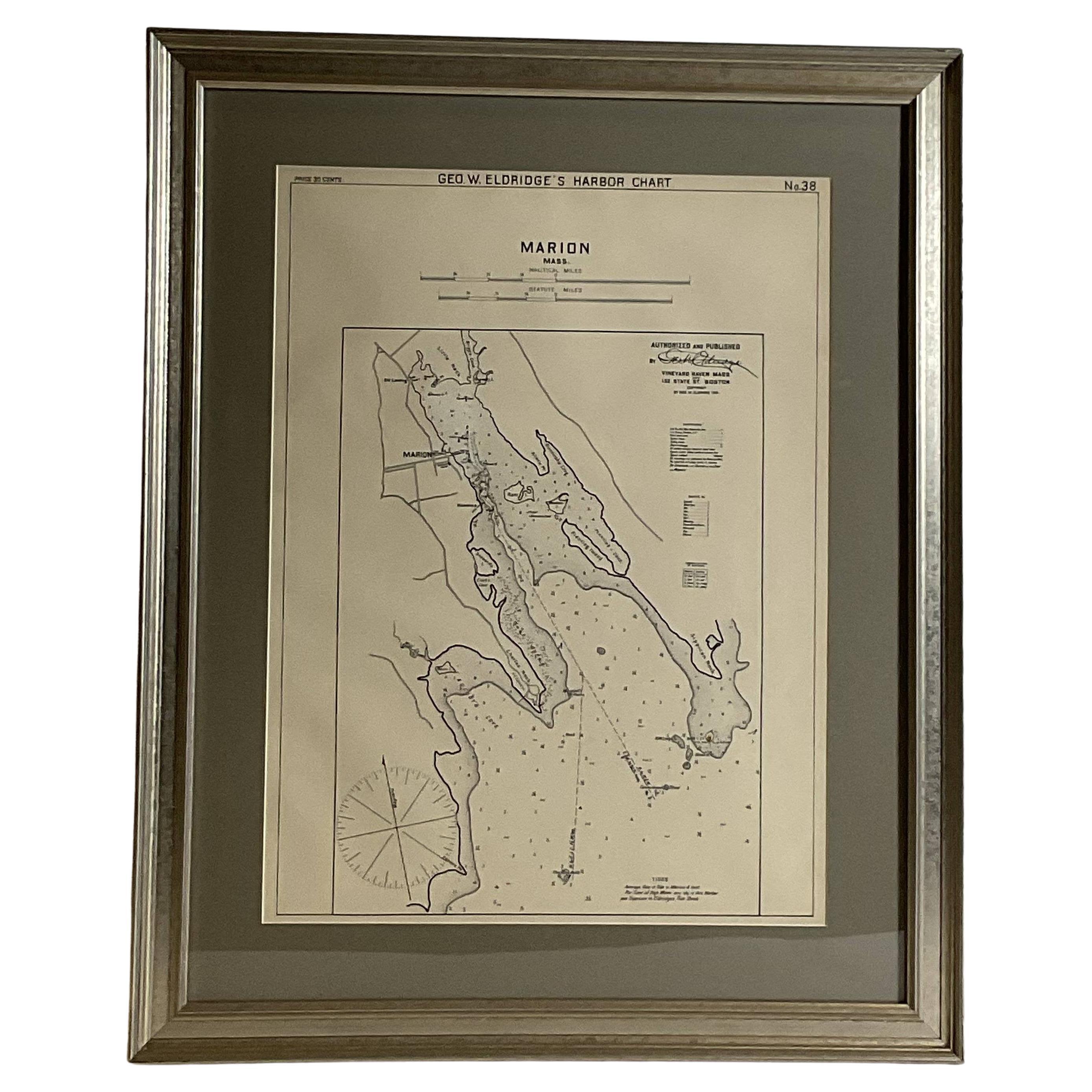
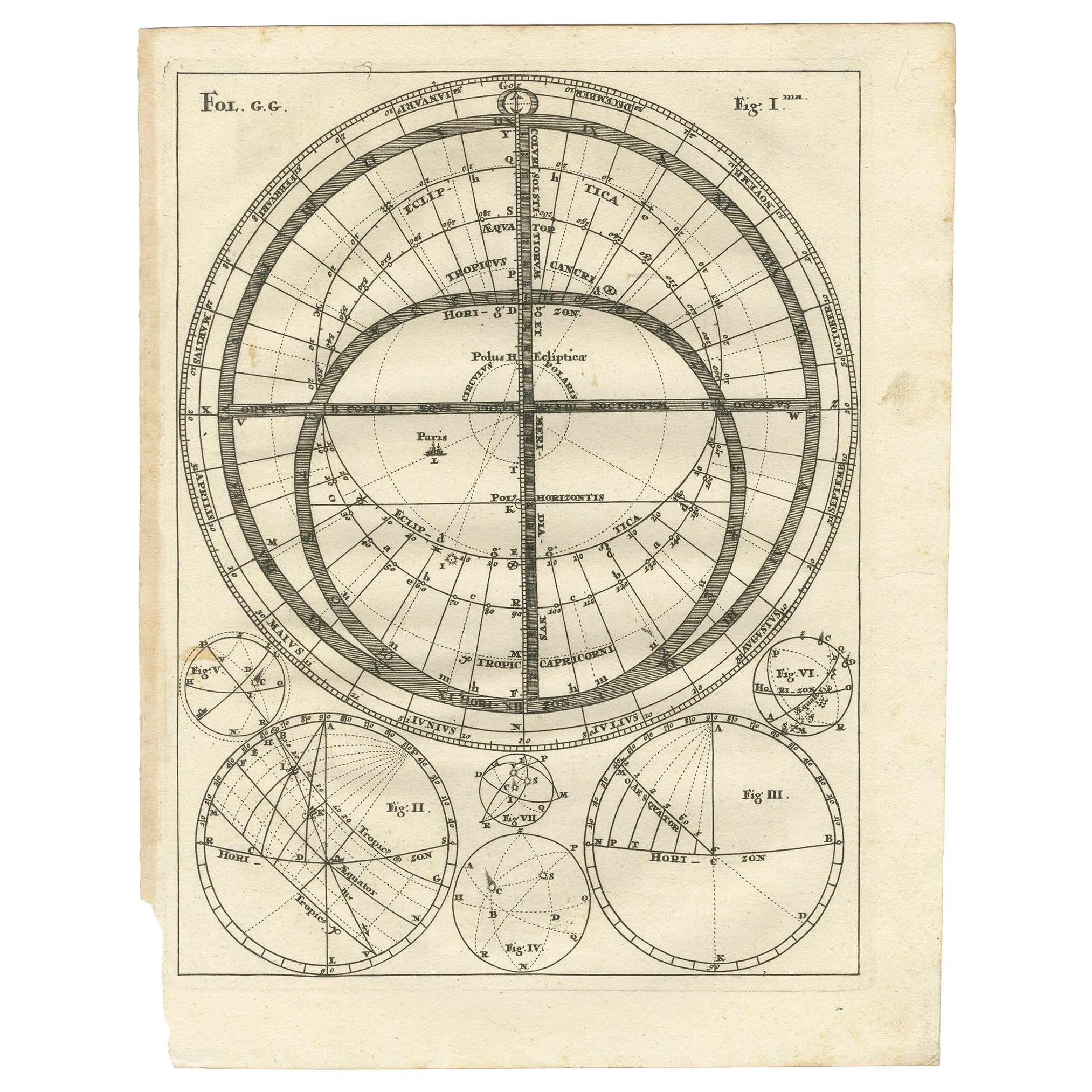
A Spectacular Celestial Chart by Andreas Cellarius
View Similar Items
1 of 8
A Spectacular Celestial Chart by Andreas Cellarius
About the Item
- Period:
- Date of Manufacture:1708
- Condition:
- Seller Location:New York, NY
- Reference Number:1stDibs: 1308028889247
You May Also Like
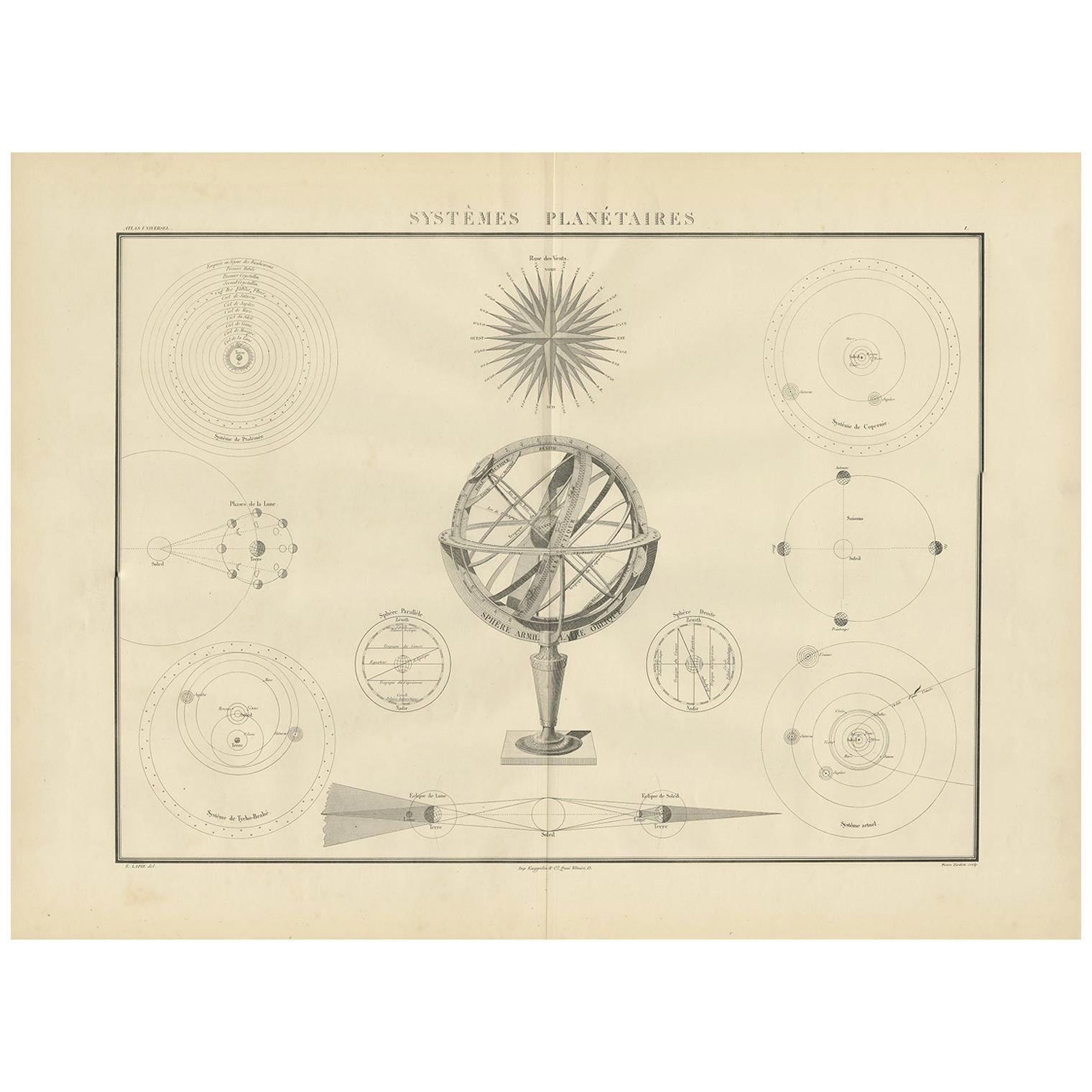
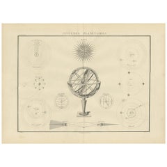
- Antique Chart of Celestial and Scientific Models by Lapie, 1842Located in Langweer, NLAntique print titled 'Systèmes Planétaires'. Chart of various celestial and scientific models. Includes an armillary sphere and various models of the universe, the season, eclipses, a Copernican, Tycho...Category
Antique Mid-19th Century Prints
MaterialsPaper
 $652 Sale Price25% Off
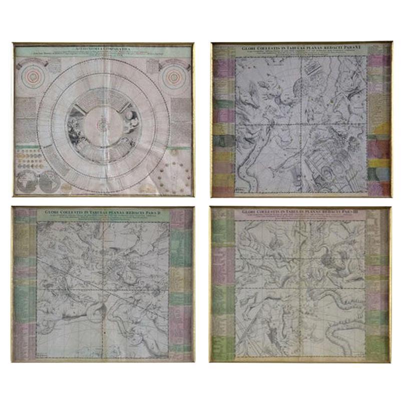
 - Four 18th Century Celestial Charts Engravings in Brass Frames by DoppelmayrBy Johann Gabriel Doppelmayr 1Located in London, GBSet of four original 18th century copper-engraving of celestial charts etchings issued by Homann. Doppelmayr is the cartographer, astronomer and mathematician. He held the post of Professor of Mathematics at the Aegidien Gymnasium, Nuremberg from 1704-1750. The prolific globe-maker, Doppelmayr produced celestial charts from 1704 onward, in his determination to explain the Copernican-Huygens world system. Homann, one of the main publishers of astronomical maps...Category
Antique 18th Century German Prints
MaterialsBrass
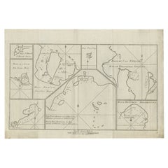
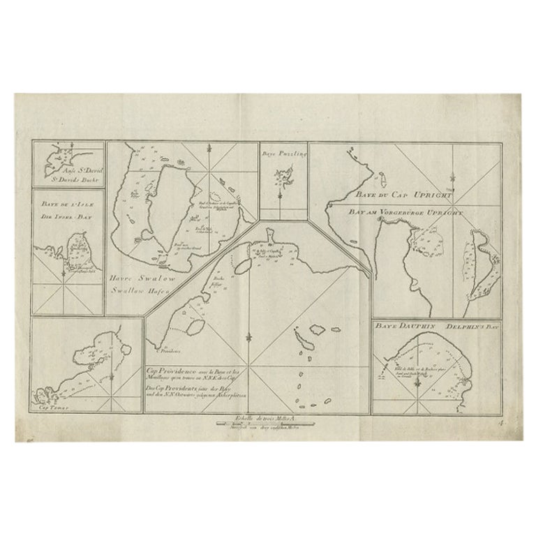
- Antique Chart of CAP Providence and Other Charts by Hawkesworth, 1774Located in Langweer, NLAntique print titled 'Baye du Cap Upright (..)'. Eight charts on one sheet of Cap Providence, St. David's Cove, the Bay of the Island, Swallow's Haven, Puzzling Bay, Baye du Cape Upr...Category
Antique 18th Century Prints
MaterialsPaper
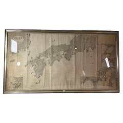
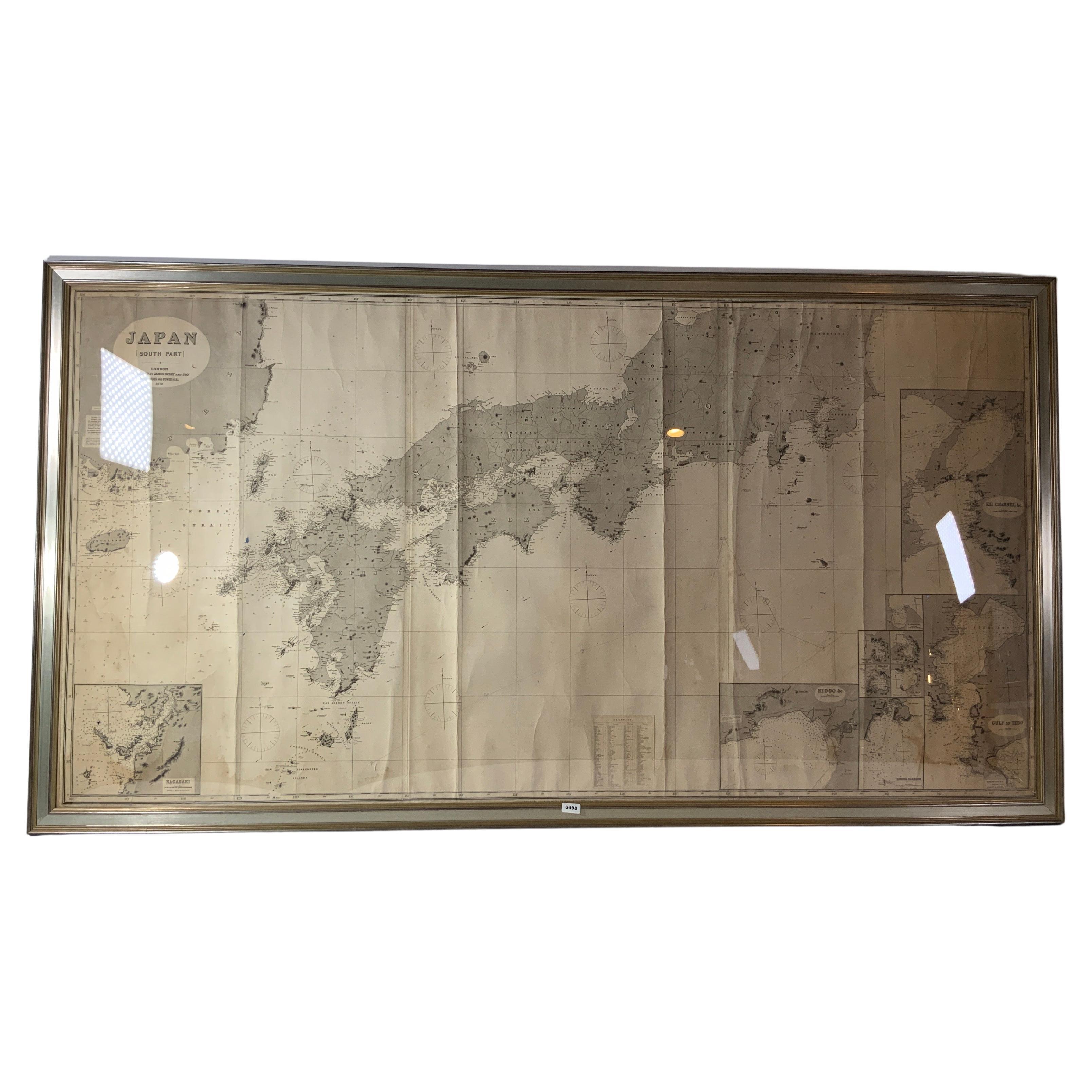
- Chart of Japan by James Imray and SonLocated in Norwell, MAChart of southern Japan compiled by James F. Imray and published in 1870. The chart captures the coast and islands. Includes Nagasaki, Kii Channel, Gulf of Yed...Category
Antique 1870s English Nautical Objects
MaterialsPaper
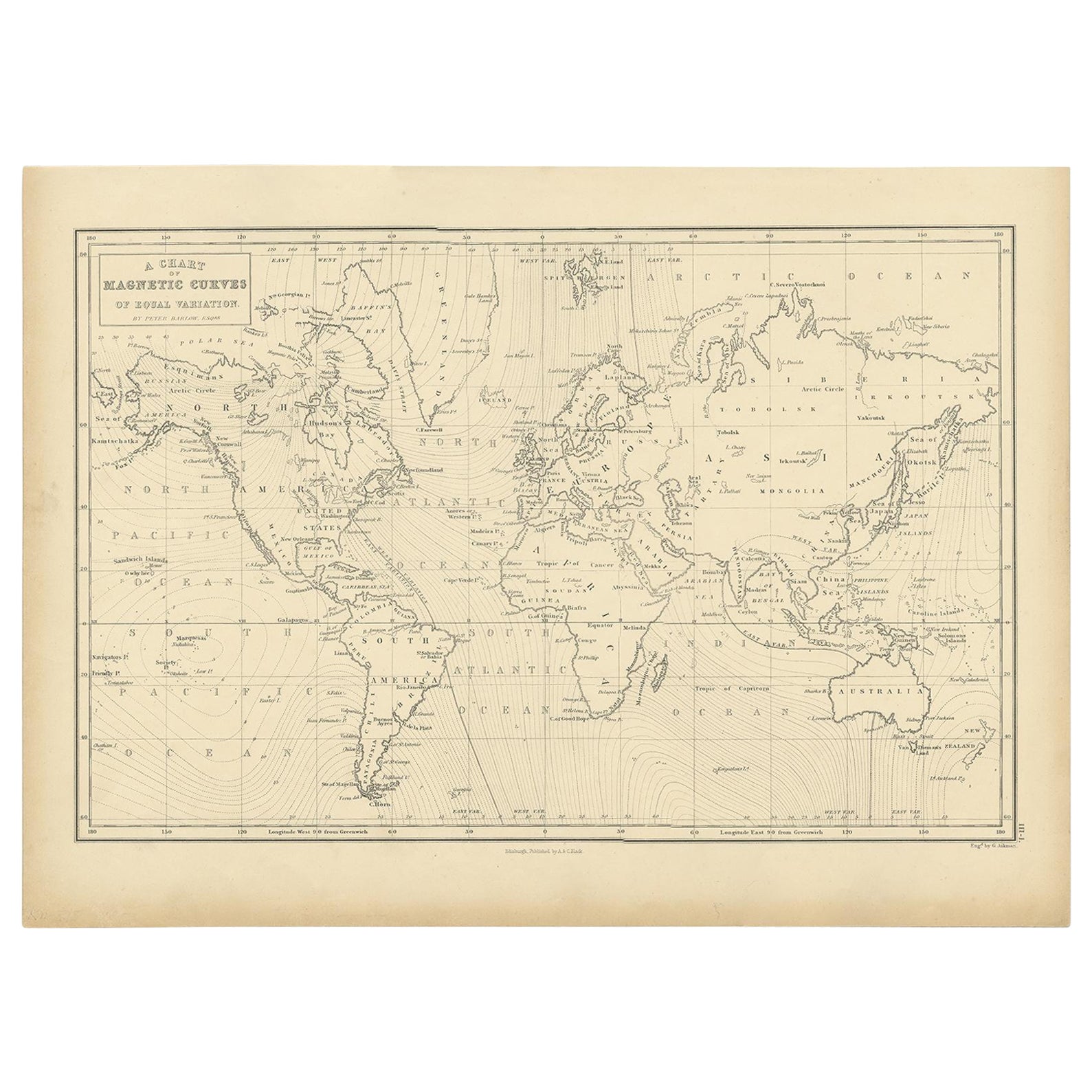
- Antique Chart with Isomagnetic Lines by Black, 1854Located in Langweer, NLAntique map titled 'A Chart of Magnetic Curves of Equal Variation'. Chart with isomagnetic lines on continents, except for North America. This map orginates from 'General Atlas Of Th...Category
Antique 19th Century Prints
MaterialsPaper
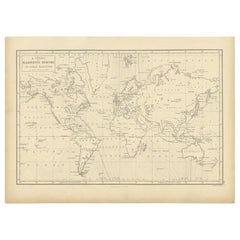
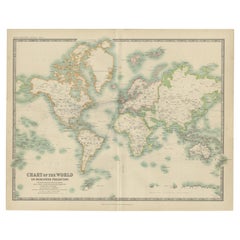
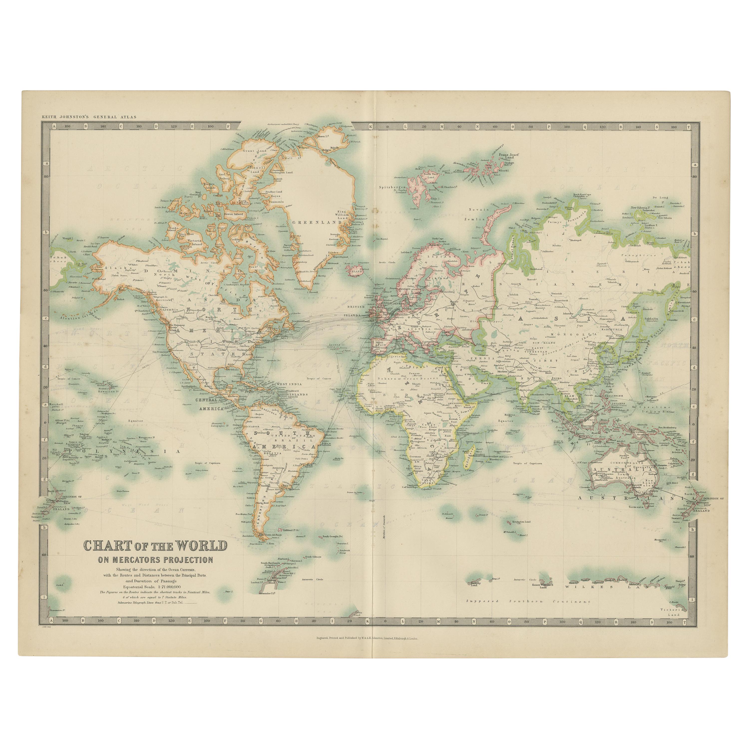
- Antique Chart of the World by Johnston '1909'Located in Langweer, NLAntique map titled 'Chart of the World on Mercator's Projection Showing the directions of the Oceans Currents with the Routes and Distances Between Principal Ports'. Detailed map of ...Category
Early 20th Century Maps
MaterialsPaper