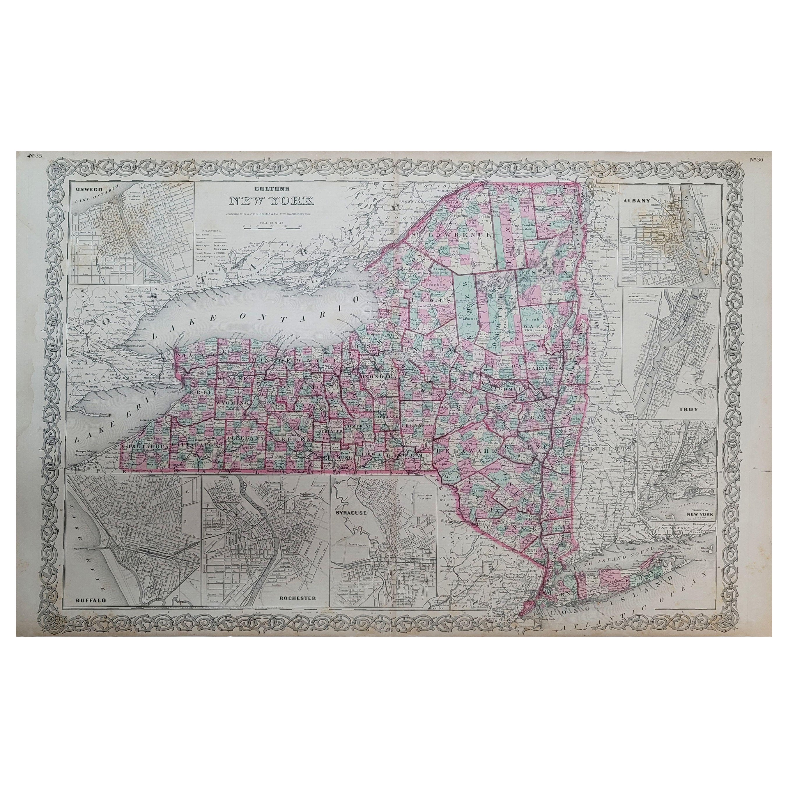
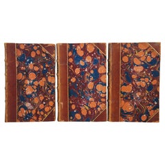
1857 Antique Coltons General Atlas World State Country Map Description Book
View Similar Items


Want more images or videos?
Request additional images or videos from the seller
1 of 13
1857 Antique Coltons General Atlas World State Country Map Description Book
About the Item
- Dimensions:Height: 17.75 in (45.09 cm)Width: 15 in (38.1 cm)Depth: 2 in (5.08 cm)
- Style:Victorian (Of the Period)
- Materials and Techniques:
- Period:
- Date of Manufacture:1857
- Condition:Wear consistent with age and use. Good overall, wear and distressing commensurate with age and use, edge and corner wear, creasing, foxing, cover detaching.
- Seller Location:Dayton, OH
- Reference Number:Seller: 317291stDibs: LU5343225620862

About the Seller
4.9
Platinum Seller
These expertly vetted sellers are 1stDibs' most experienced sellers and are rated highest by our customers.
Established in 2010
1stDibs seller since 2020
1,116 sales on 1stDibs
More From This SellerView All
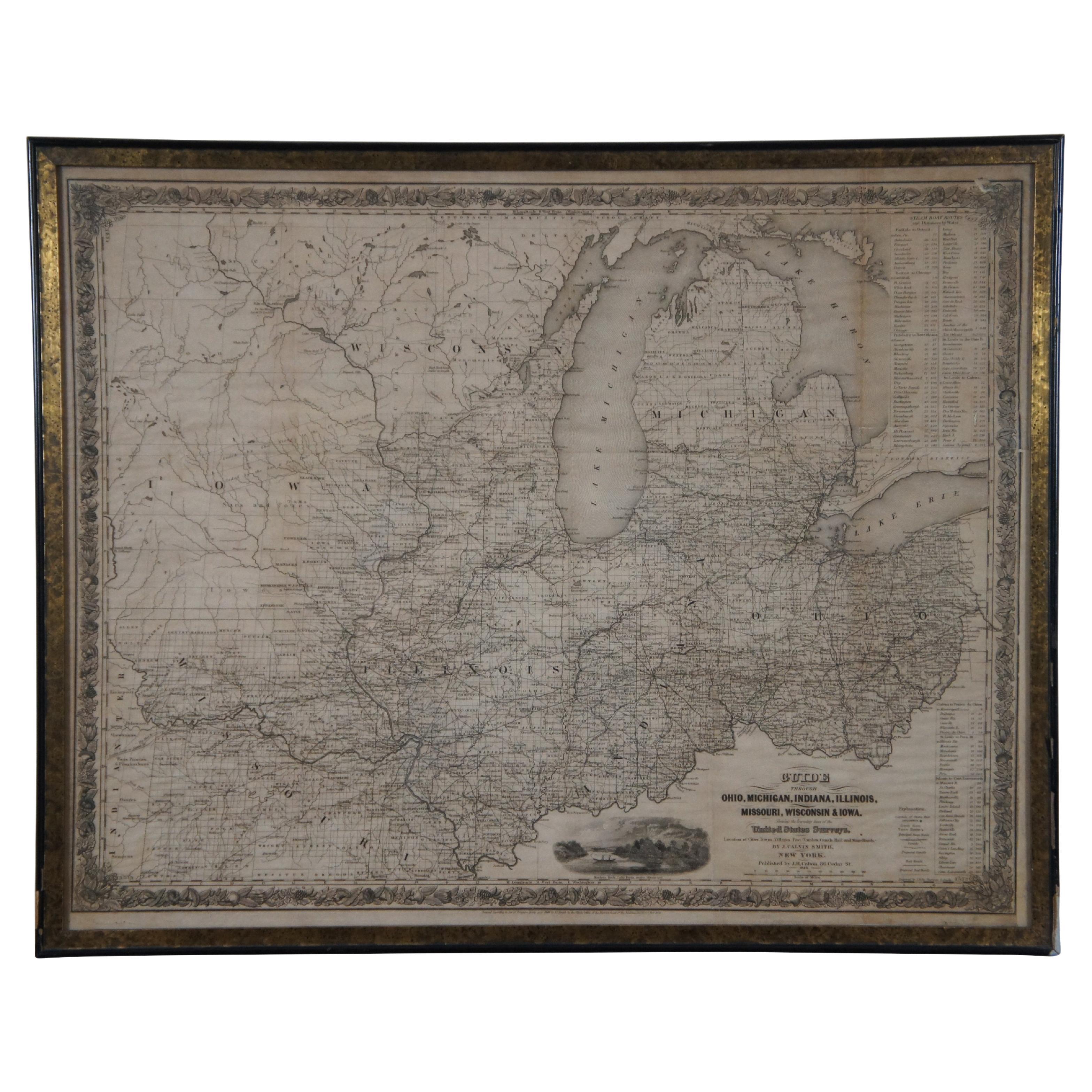
- Antique 1844 J Calvin Smith JH Colton Midwest United States Survey Map 27"By J.H. ColtonLocated in Dayton, OHAntique framed black and white map of seven Midwestern American states. Guide Through Ohio, Michigan, Indiana, Illinois, Missouri, Wisco...Category
Antique 1840s Maps
MaterialsPaper
- Antique Chicago Illinois National Map Commercial Rollup Classroom Census Map 47"Located in Dayton, OHAntique early to mid 20th century double sided hanging map titled the New Commercial and Census Map of Illinois, Edition 1073. Verso shows the National Map of Chicago and Suburbs - O...Category
Early 20th Century North American Maps
MaterialsPaper
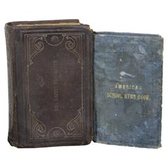
- 2 Antique Miniature Leather Methodist Hymnal & American School Hymn BookLocated in Dayton, OHPair of antique mid-late 19th century Christian hymnals, one leather bound book of Methodist Hymns, impressed with the name Mrs. Rachel daugherty, and one blue cloth bound American s...Category
Antique 19th Century Victorian Books
MaterialsLeather, Fabric, Paper
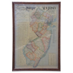
- 1903 Antique National Publishing Road Map of New Jersey Geological SurveyLocated in Dayton, OH1903 antique New Jersey road map by The National Publishing Company of Boston Massachusettes, No 384. Index for New Jersey Census 1900, Population 1...Category
Antique Early 1900s Victorian Maps
MaterialsPaper
- 3 Volume Antique 1849 Leather Book Set the French Revolutions RedheadLocated in Dayton, OH"Three volume set of mid 19th century hard cover books featuring marbled boards / page edges and leather spines. - 1848 / 1849 – The French Revolutions...Category
Antique 1840s Victorian Books
MaterialsLeather, Paper
- Antique 1901 National Publishing Company's Road Map of New Jersey GeologicalLocated in Dayton, OHThe National Publishing Company's road map of New Jersey, showing all county and township divisions, cities villages and post-offices, railroads, ste...Category
Antique Early 1900s Victorian Prints
MaterialsPaper


You May Also Like
- Antique Map Colton's United States of AmericaLocated in Langweer, NLAntique map titled 'Colton's United States of America'. Show railroads, canals, state capitals, major cities and towns, military posts, historic trails, Pony Express and U.S. mail routes; Dakota [Territory] extending deep into Nebraska, and Idaho [Territory] encompassing [modern day] Montana and Wyoming; Indian Territory...Category
Antique Mid-19th Century Maps
MaterialsPaper
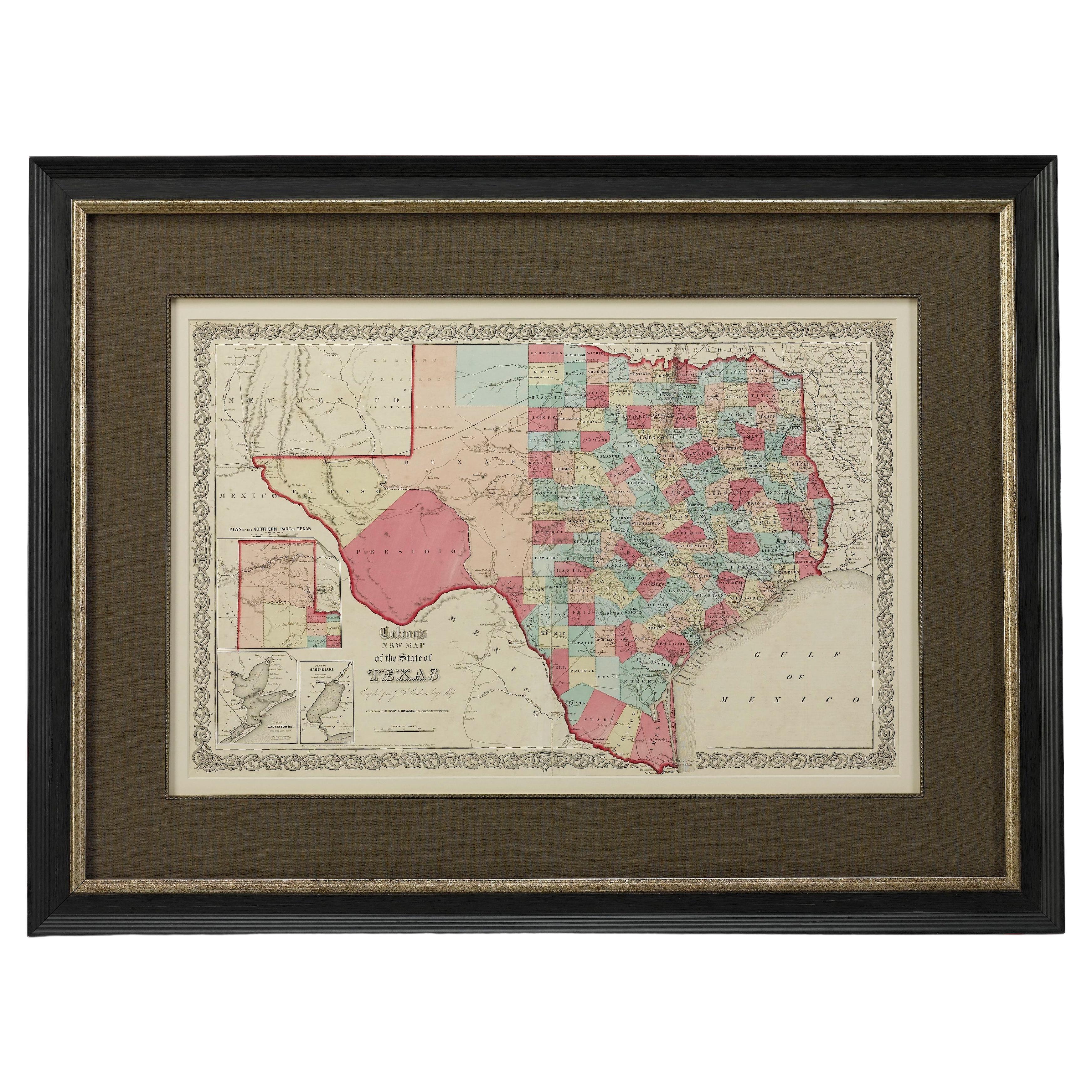
- 1859 "Colton's New Map of the State of Texas..." by Johnson & BrowningLocated in Colorado Springs, COPresented is "Colton's New Map of the State of Texas Compiled from De Cordova's Large Map", published in Alivin J. Johnson’s “New Illustrated Family Atlas.” The map was published in ...Category
Antique 1850s American Maps
MaterialsPaper
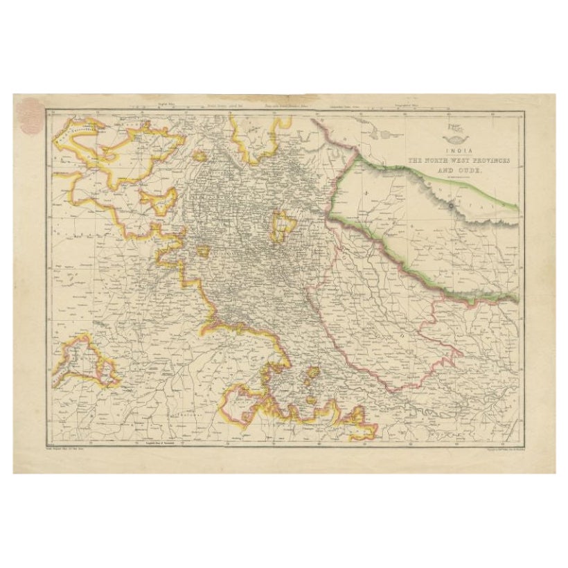
- Antique Map of Northwestern India by Weller, 1857Located in Langweer, NLAntique map titled 'India, The North West Provinces and Oude'.Detailed map of the northwestern part of India, extending to the Himalaya Mountains. Shows part of Nepal including Dharm...Category
Antique 19th Century Maps
MaterialsPaper
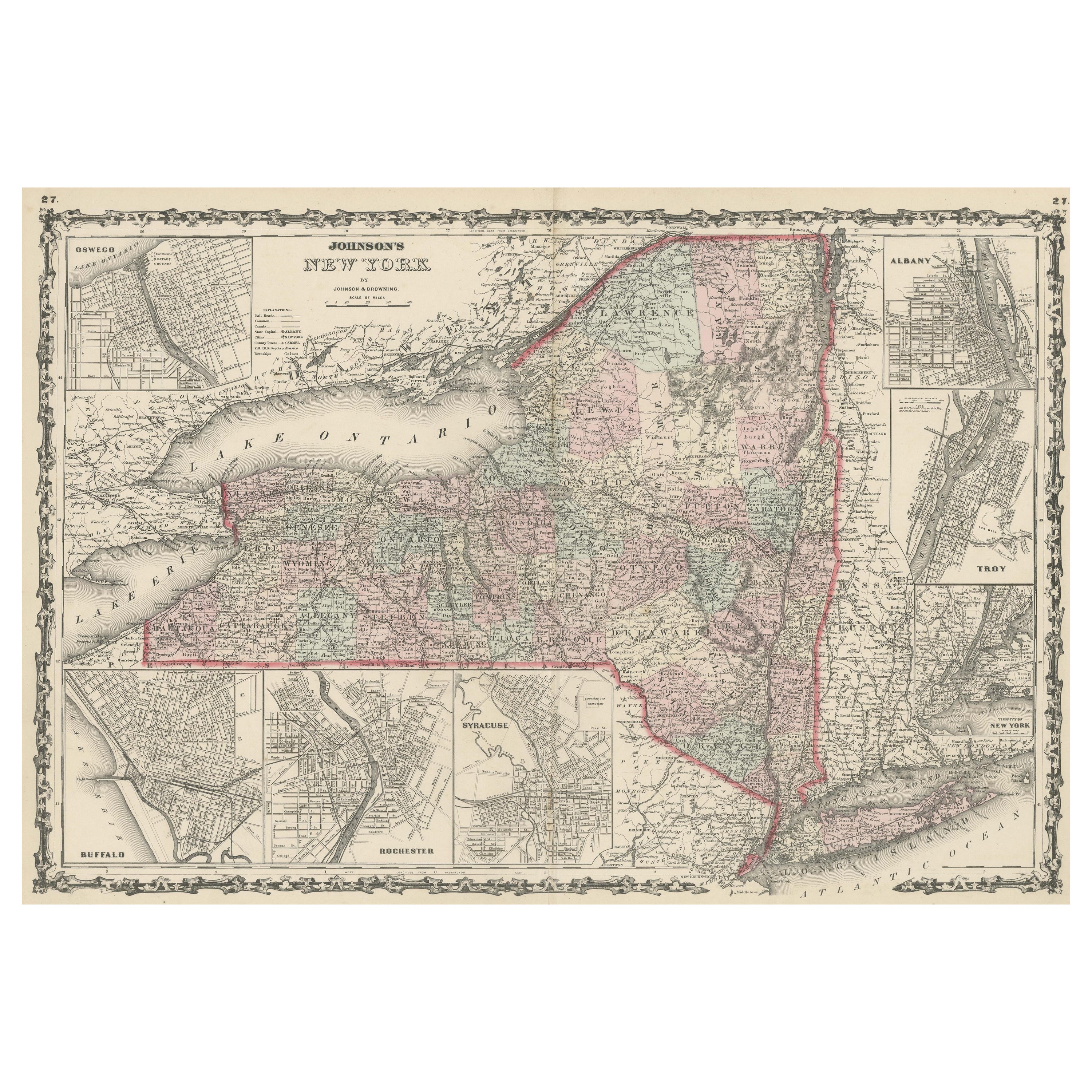
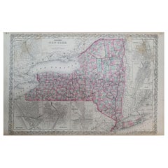
- 1858 Colton's Map of New York, Ric.B011Located in Norton, MAAn 1858 Colton's map of New York Ric.b011 Colton’s New York, 1858 - A large original color engraved and very detailed map of the state of New York,...Category
Antique 19th Century Unknown Maps
MaterialsPaper
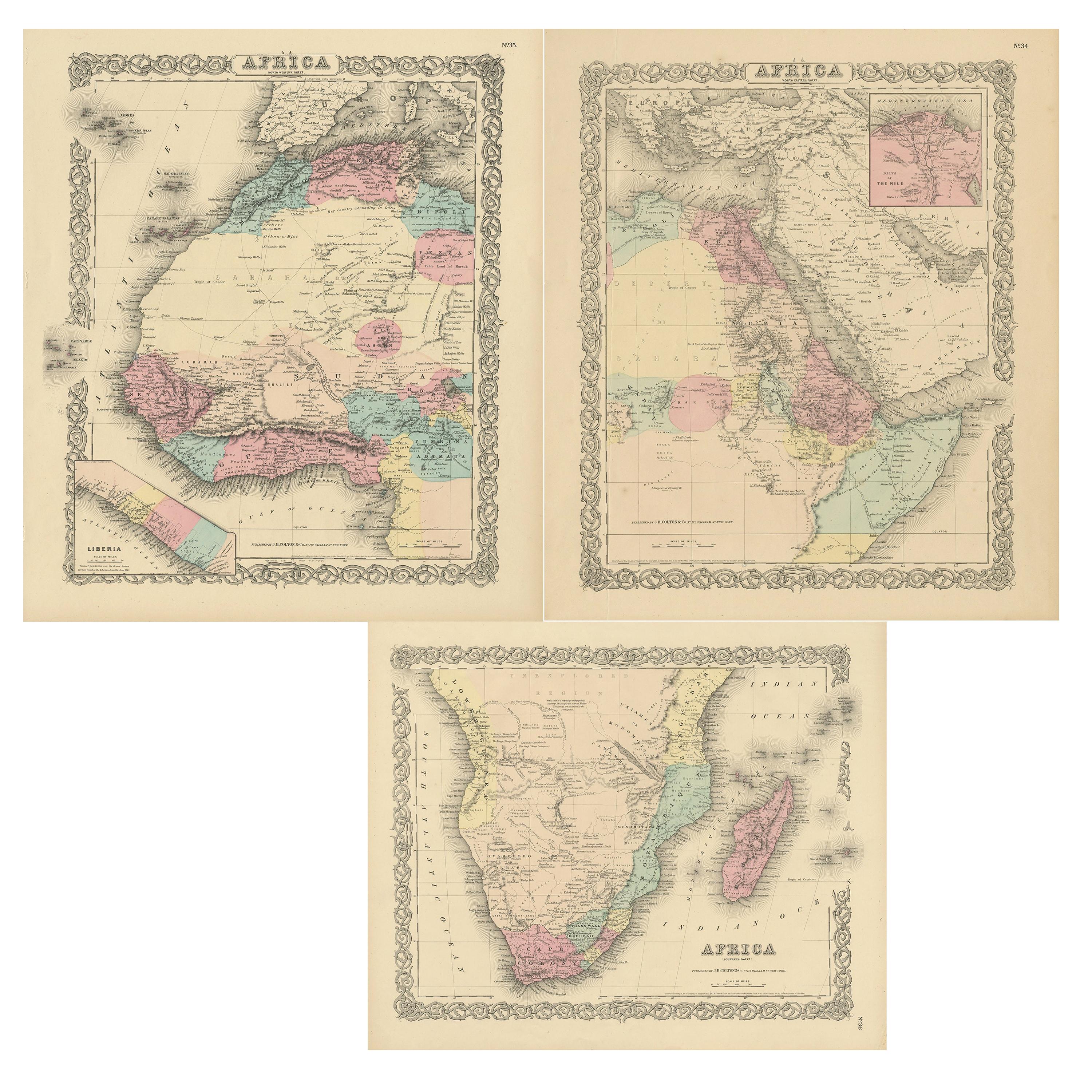
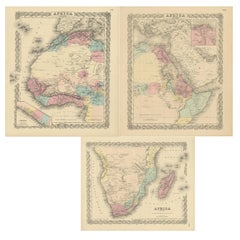
- Set of Three Antique Maps of Africa by Colton (circa 1855)Located in Langweer, NLSet of three individual maps of Africa including 'North West Africa', 'North Eastern Africa' and 'Southern Africa'. All three maps are surrounded by Colton's typical spiral motif border. Colton names numerous African tribes and nations throughout. An interesting set of maps...Category
Antique Mid-19th Century Maps
MaterialsPaper
 $306 Sale Price / set20% Off
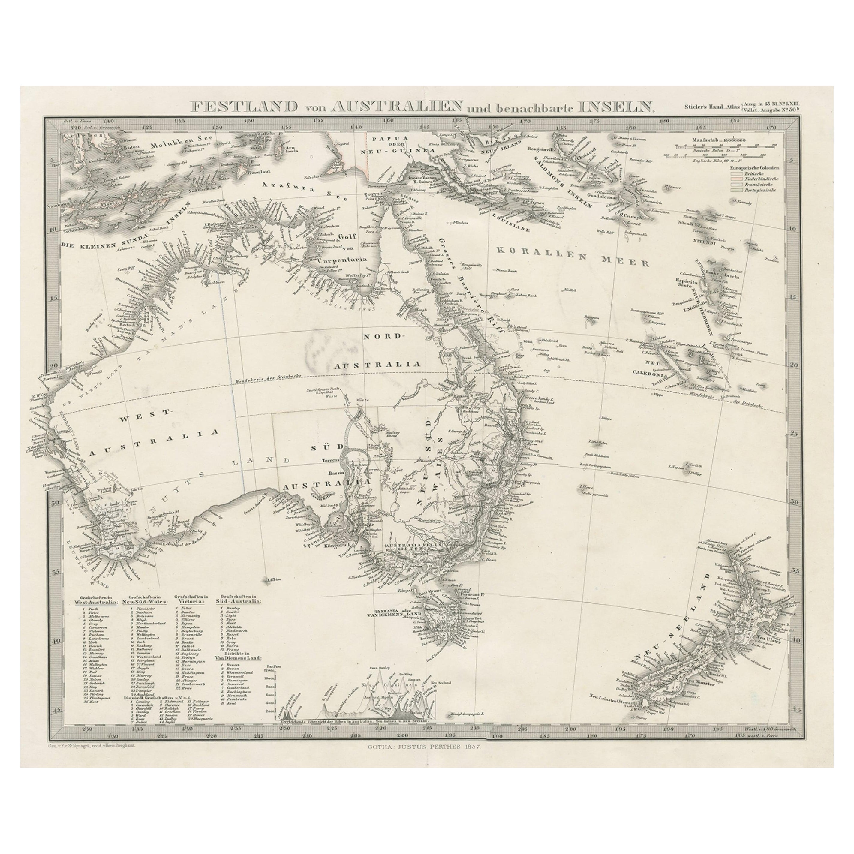
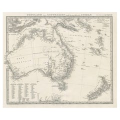
 - German Antique Map of Australia and New Zealand, 1857Located in Langweer, NLAntique map Australia titled 'Festland von Australien und benachbarte Inseln'. Detailed map of Australia and New Zealand, including excellent det...Category
Antique 19th Century Maps
MaterialsPaper


Recently Viewed
View AllMore Ways To Browse
U S Furniture Industries
Antique Furniture Oregon
Nebraska Antique
Antique Mexico Map
Antique Map Mexico
Antique Maps Of Mexico
Antique Map Of Mexico
Antique Maps Mexico
Mexico Antique Map
Civil War Map
Antique Map New York City
Antique New York City Maps
Antique Maps New York City
Antique Map Of New York City
Antique Maps Of New York City
Victorian Mexican
Antique Furniture Nebraska
Fisher Antique